
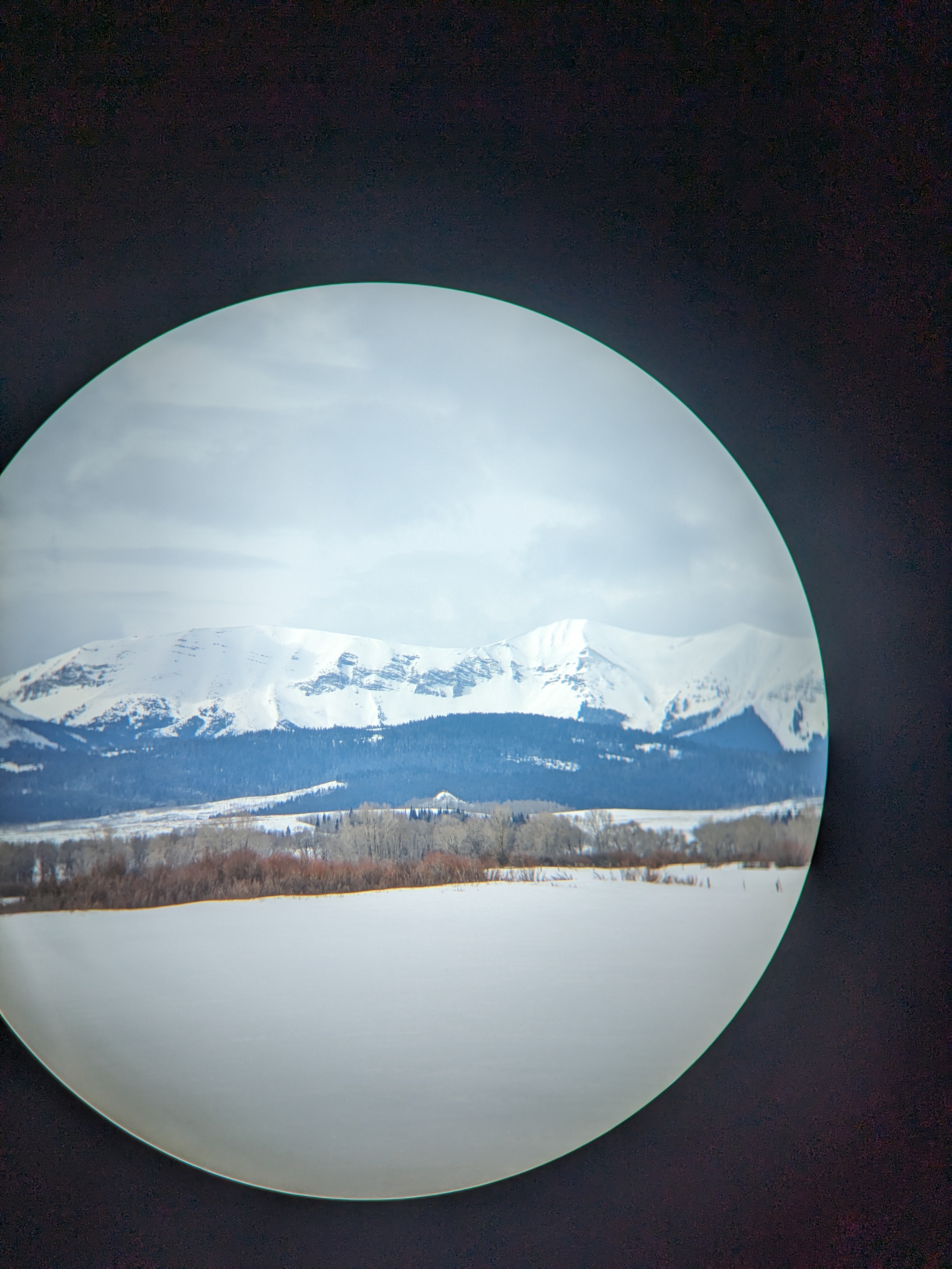
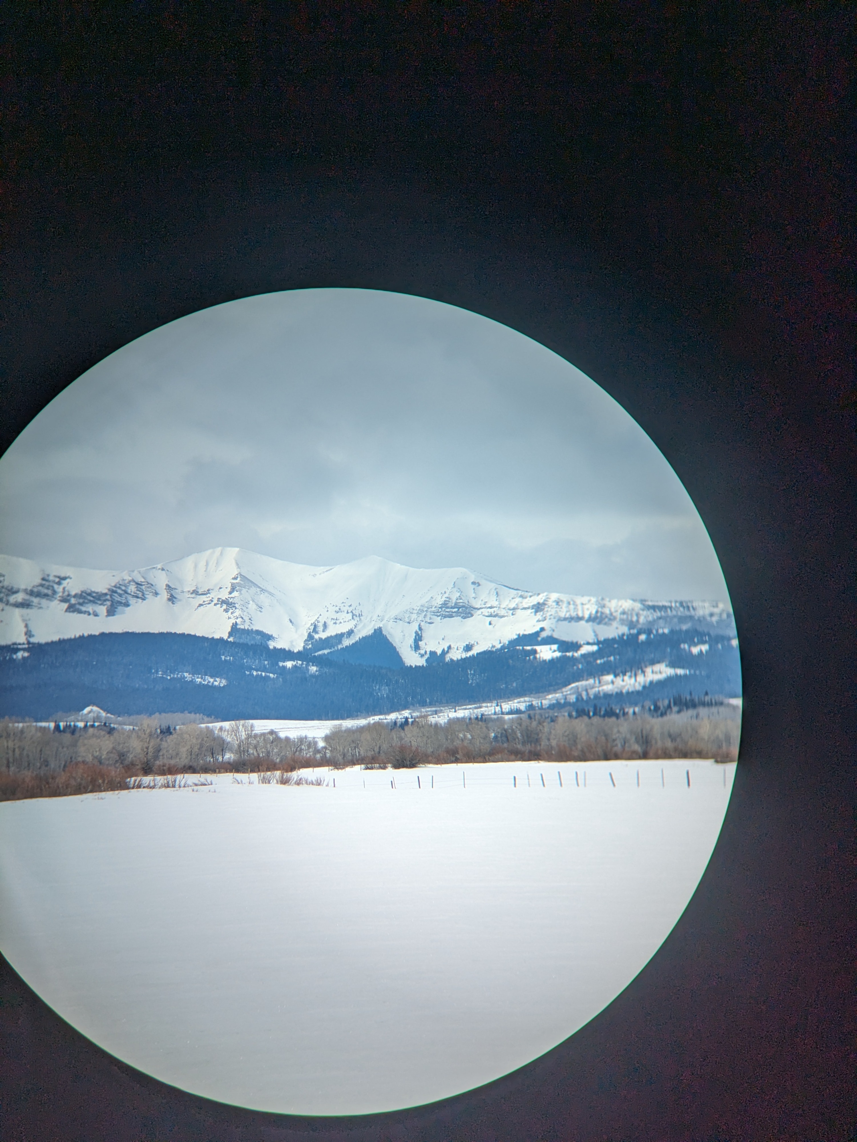
Quick report
New snow on Saturday and Sunday may lead to increased avalanche activity on or near this crust. Currently, wind is looking to be relatively light but there is a fair amount of snow available for transport into wind slabs. The 8-12" expected, possibly more,would improve riding greatly which was not ideal today due to the hard snow beneath just a foot of new snow. Winds, snowfall totals and the increasingly warm spring sun need to be monitored closely.
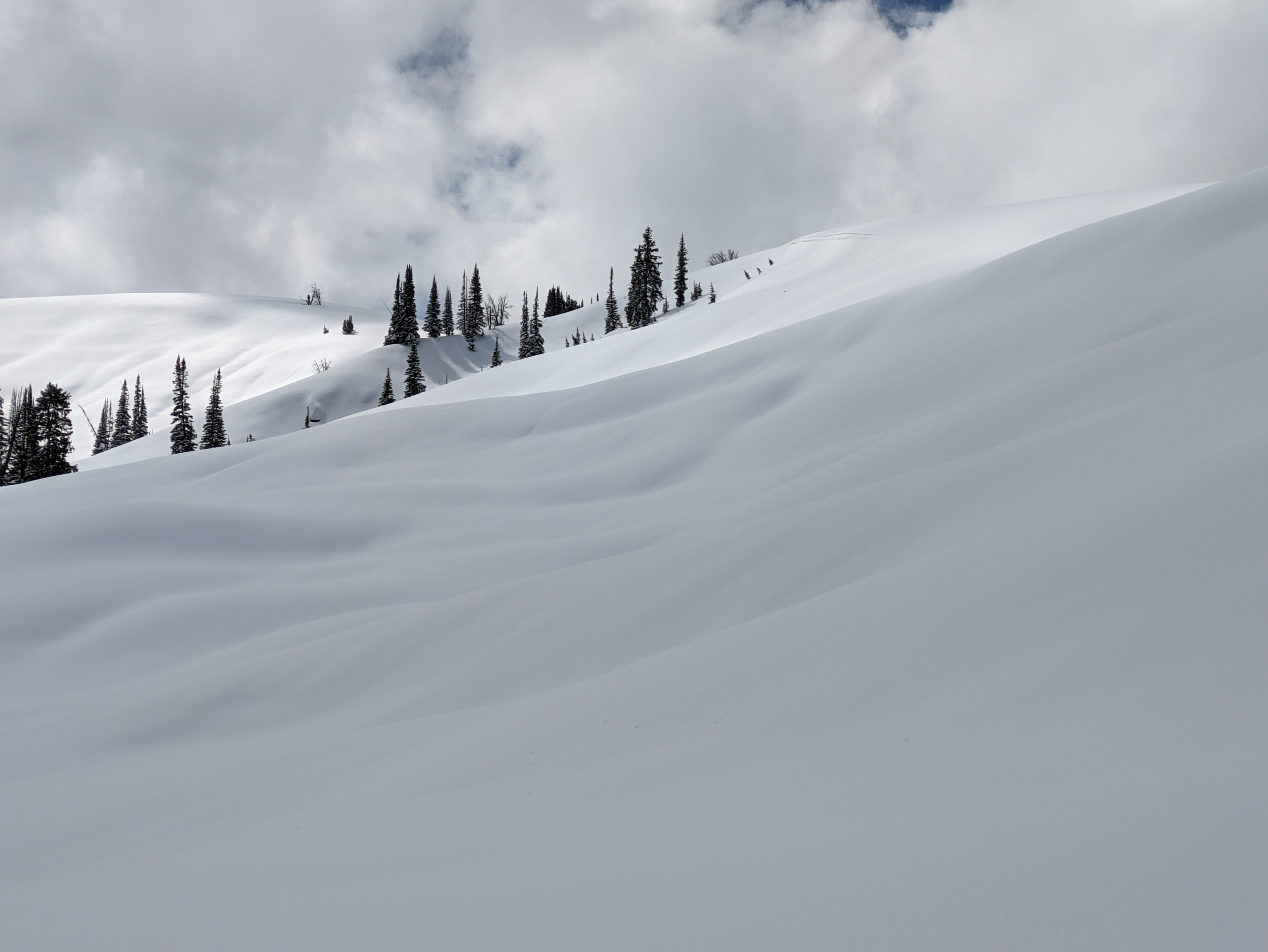
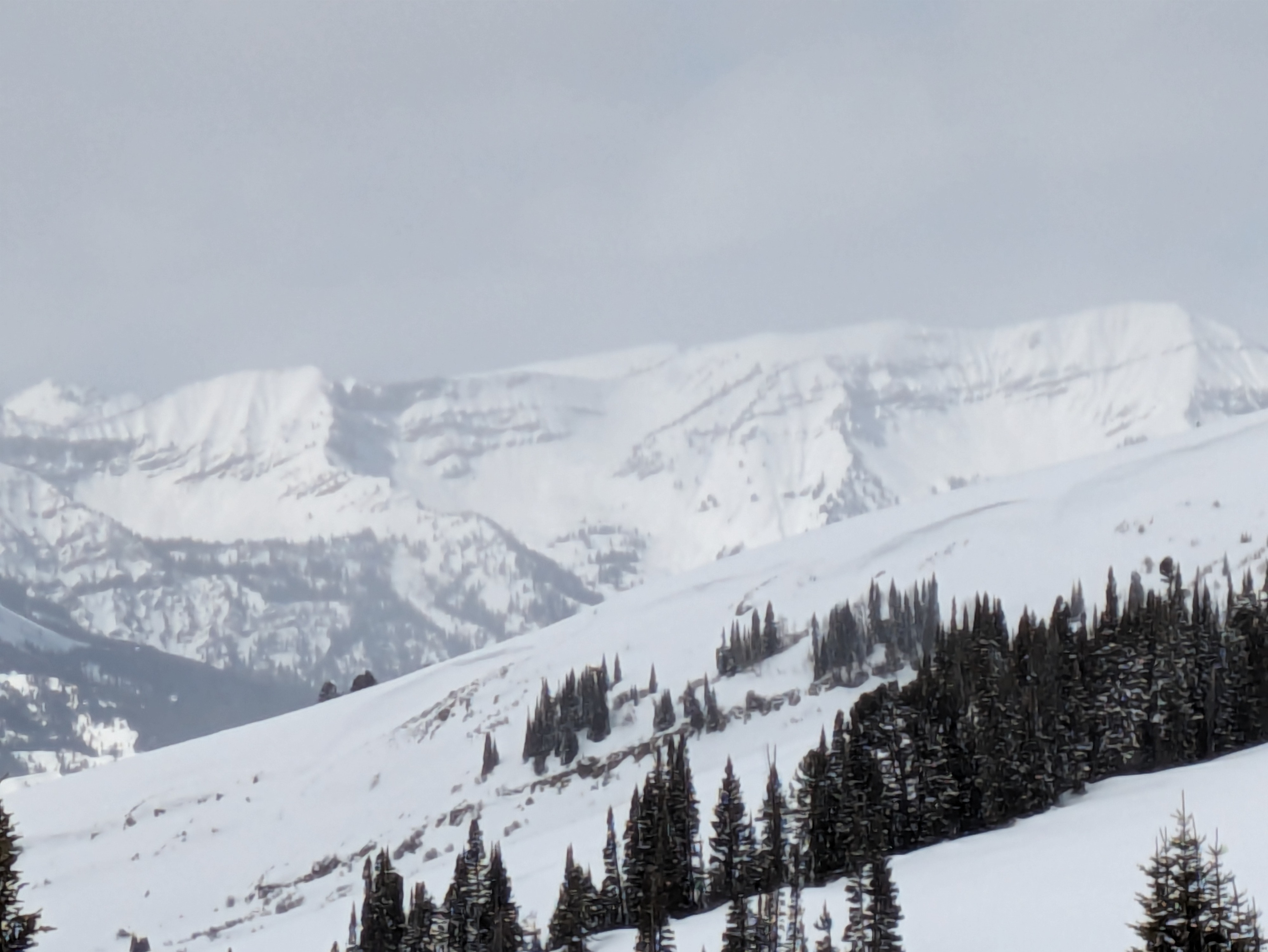
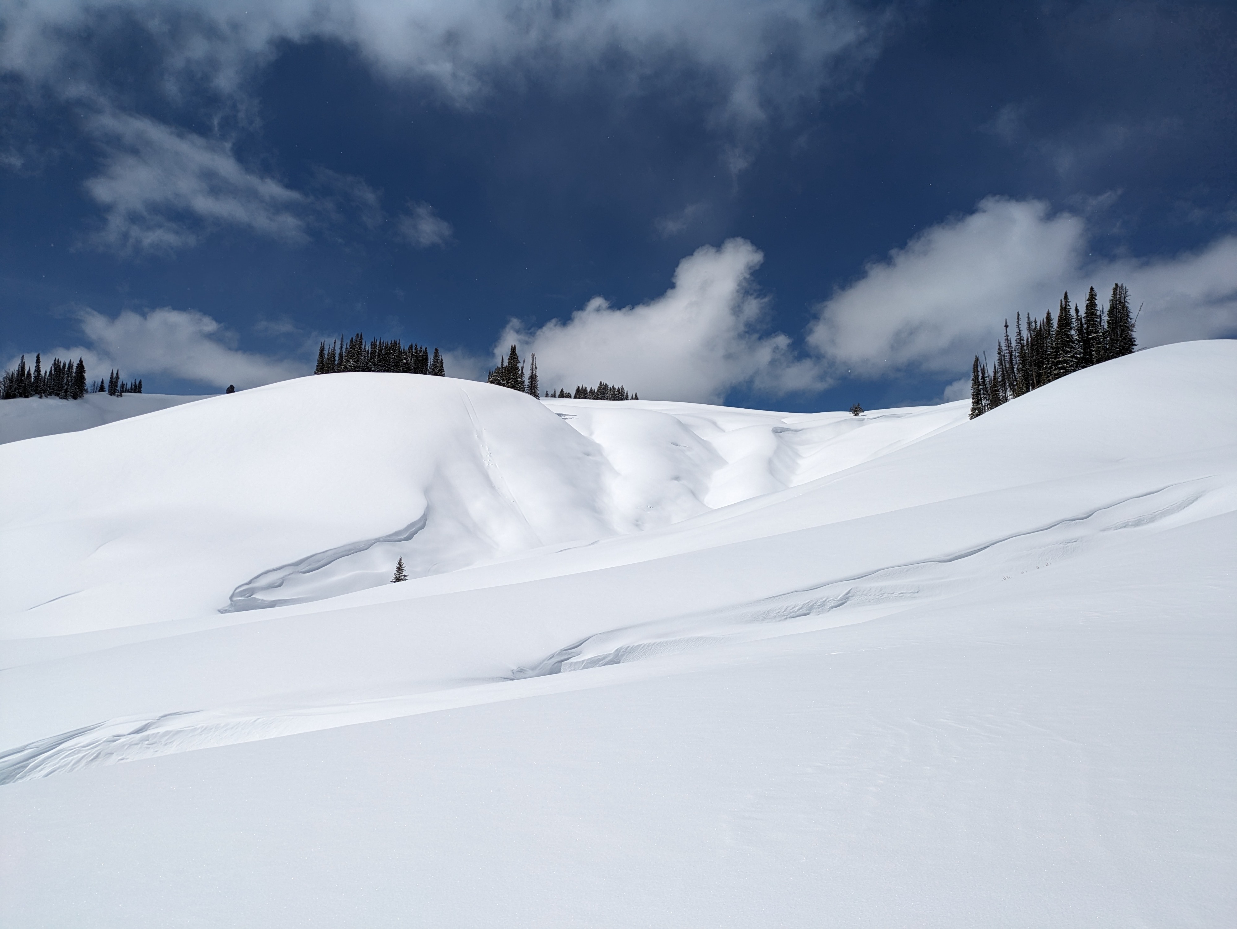
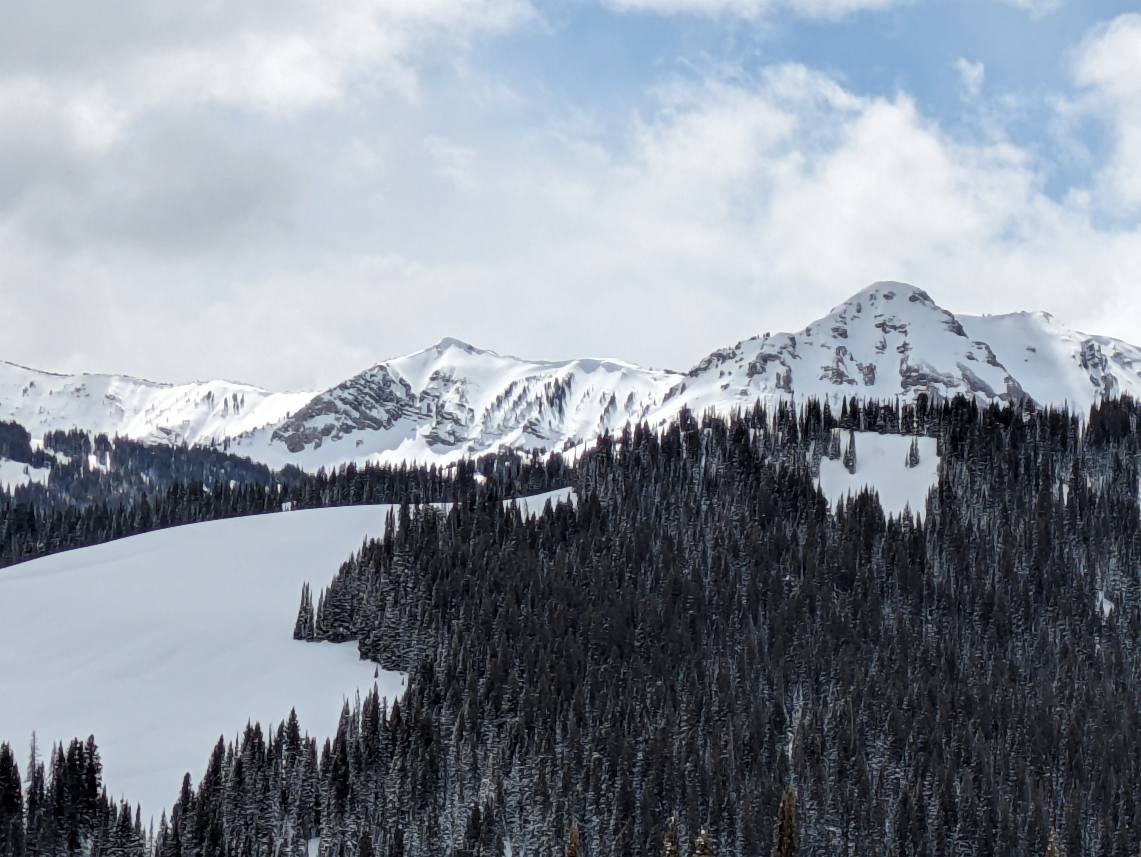
No avalanche activity observed with binocluars on the eastern aspects of Mann and Virginia Peak nor around Gunsight Pass or Mt McDougal. Many avalanche prone indicator slopes also showed no signs of avalanche activity. I observed no cracking or collapsing and rode many test slopes on most aspects.Weather
- Cloud Cover
- overcast
- Wind Loading
- previous
- Recent Snowfall
- 30
- Snow Avail For Transport
- moderate amounts
About 80% cloud cover and some passing showers in the Salt and Wyoming Ranges. Temps rose to mid-20s.
Snowpack
The new snow since 3/21 showed no slab properties and did not shear cleanly from the 3/21 crust. This crust was 1.5cm thick and very porous and friable. There was a thin layer of smal faceted grains beneath but I observed none above the crust. Below the crust was a meter of well settled snow. Total HS 235cm. The weaker old snow and crusts that developed prior to January was sensible with a probe in the lower 45cm of the snowpack.