
Quick report
I did not observe any new avalanche activity in the past 24 hours.
Weather
- Air Temp
- 30 at road level. 27 at 3200 feet
- Cloud Cover
- broken
- Wind Loading
- none
- Rain Elevation
- Rain crust under fresh snow to 2700 feet
- Recent Snowfall
- 10cm overnight/morning
- Snow Avail For Transport
- moderate amounts
Weather from Valdez to Keystone Canyon alternated between heavy snow and Rain. Snow squalls, low fog, and near whiteout conditions in Thompson Pass and Cracked Ice area gave way to a partial clearing in the afternoon. Winds were light and variable from the SE to NE. Light blowing snow through Thompson Pass summit.
Snowpack
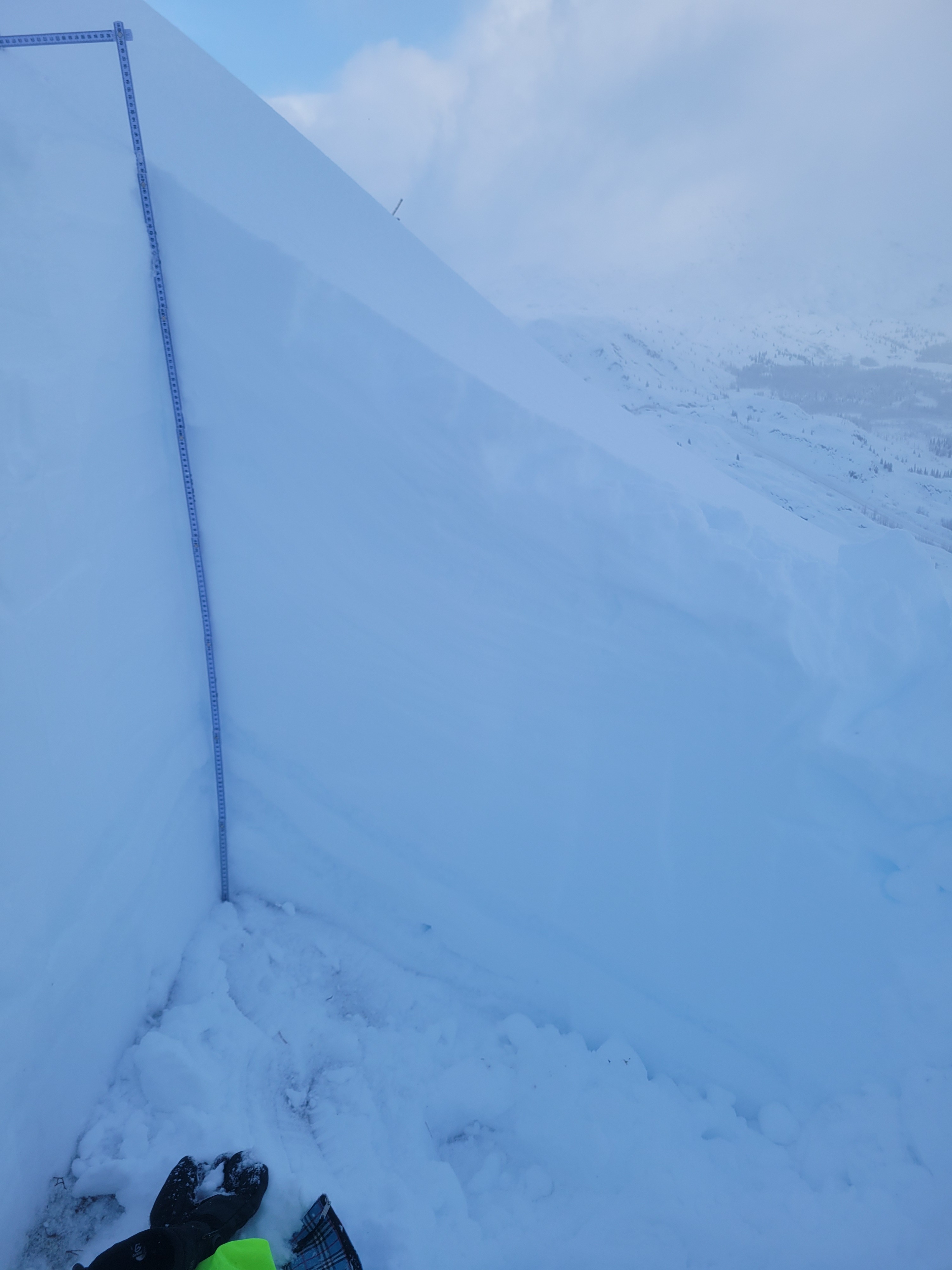
Near road level, approximately 10 cm of new snow was sitting on top of an eroding rain crust several centimeters thick. The new snow was surprisingly low-density considering the temperature was near 0 C. About 500 feet above road level, the buried rain crust disappeared, and the new snow became dryer and lighter-density. A full profile at 3200 feet revealed a fairly homogenous snowpack with the exception of 2 erroding rain crusts near ground level. Test results included ECTN-11 down 25cm. This layer easily produced dry loose slides on steep test slopes. No deeper reactivity was noted in Pit tests or test slopes.