
Quick report
- Cracking
- specific
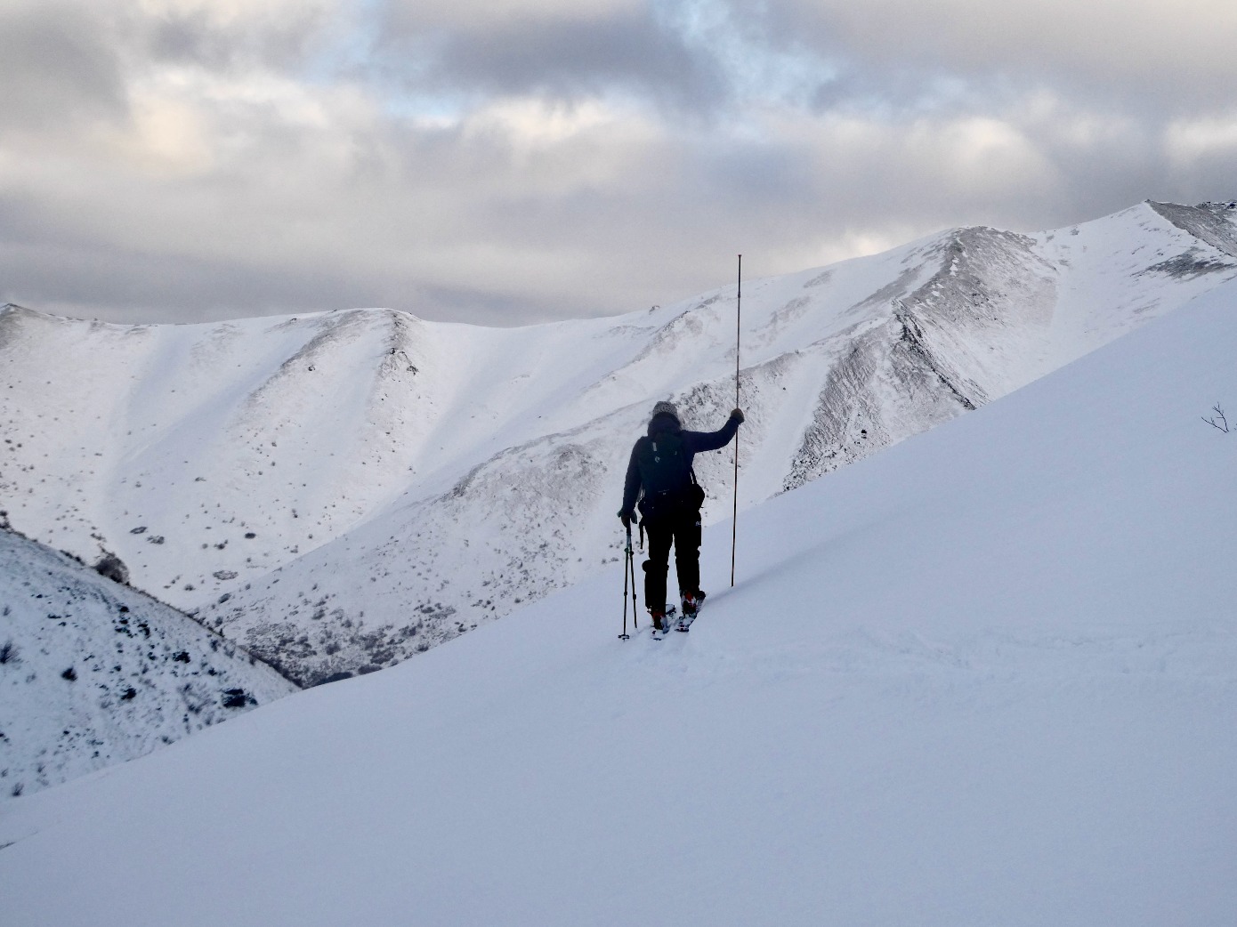
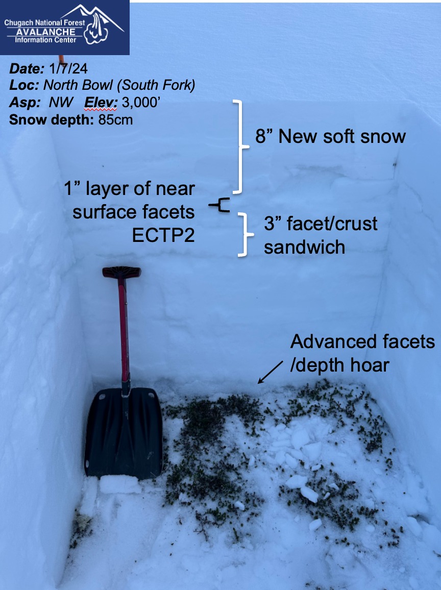
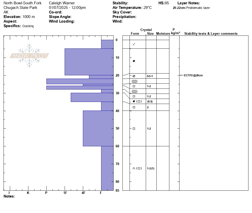
We toured up to 3000' beyond Hunter Pass to ground truth snow totals from the recent storm. We found 1-2 inches of soft new snow at all elevations, and up to 1 foot in leeward terrain. We dug a snowpit on a north-facing slope at our high point of 3000' to investigate what the soft new snow was deposited on. In our pit we found poor structure, with several layers of weak and faceted snow above and below the melt-freeze crust. The weak structure around the melt-freeze crust and our propagating test results on the layer of faceted grains above the crust gave us concern and will be an important layer to track before getting lured out into the soft new snow.
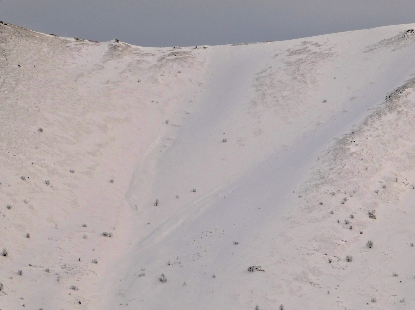
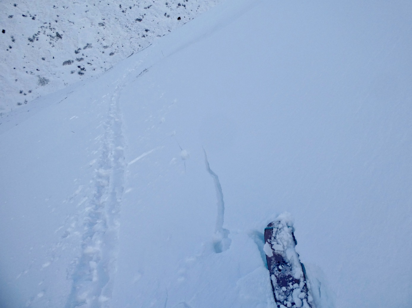
Above 3000' on a west-facing slope, we observed shooting cracks in the new snow deposited during the recent storm. From the road, we observed debris from loose snow and small slab avalanche releases across the valley in the Three Bowls area.Weather
- Air Temp
- 29
- Cloud Cover
- broken
- Wind Loading
- none
- Recent Snowfall
- 2-4
- Snow Avail For Transport
- small smounts
Light winds and moderate temps persisted throughout the day.
Snowpack
1-2 inches of new dry snow dusted all elevations in the South fork, and leeward terrain features above 3000' accumulated as much as a foot of new snow. We dug a snowpit on a north-facing slope at our high point of 3000' to investigate how the new snow was bonding to the old crust surface. We found poor structure, with several layers of weak and faceted snow above and below the melt-freeze crust and advanced facets above the ground. In our snowpit tests, we observed propagation with light force 20 cm deep on a layer of faceted snow grains above the melt-freeze crust. Our test score was ECTP2. On leeward terrain above 3000' we observed shooting cracks where the windslab was thicker, ~1ft deep, from loading out of the SE during the storm.