
Quick report
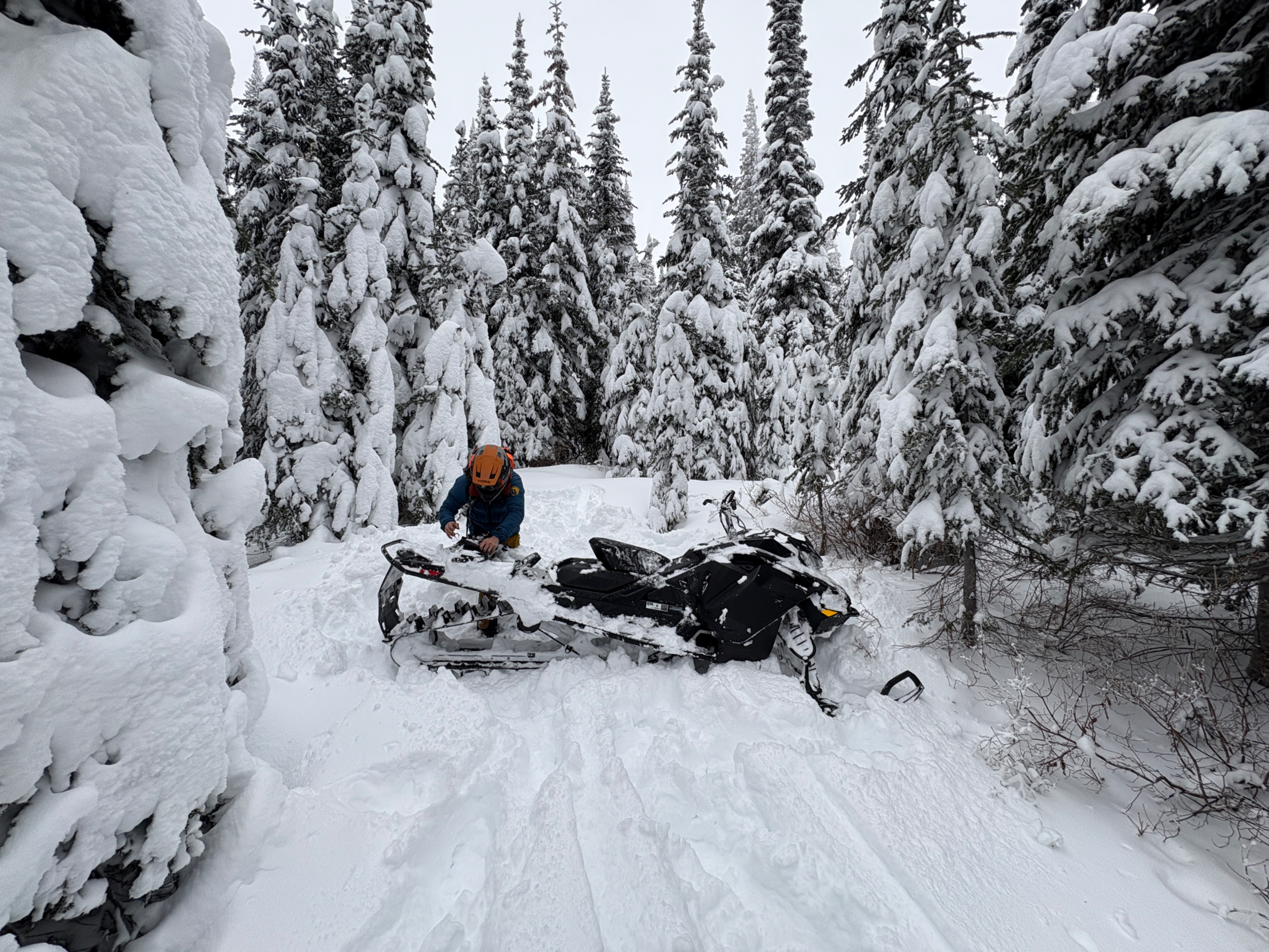
We took the Alpha/Beta road to the end in an effort to get a look at storm totals, wind affect, and general snowpack.
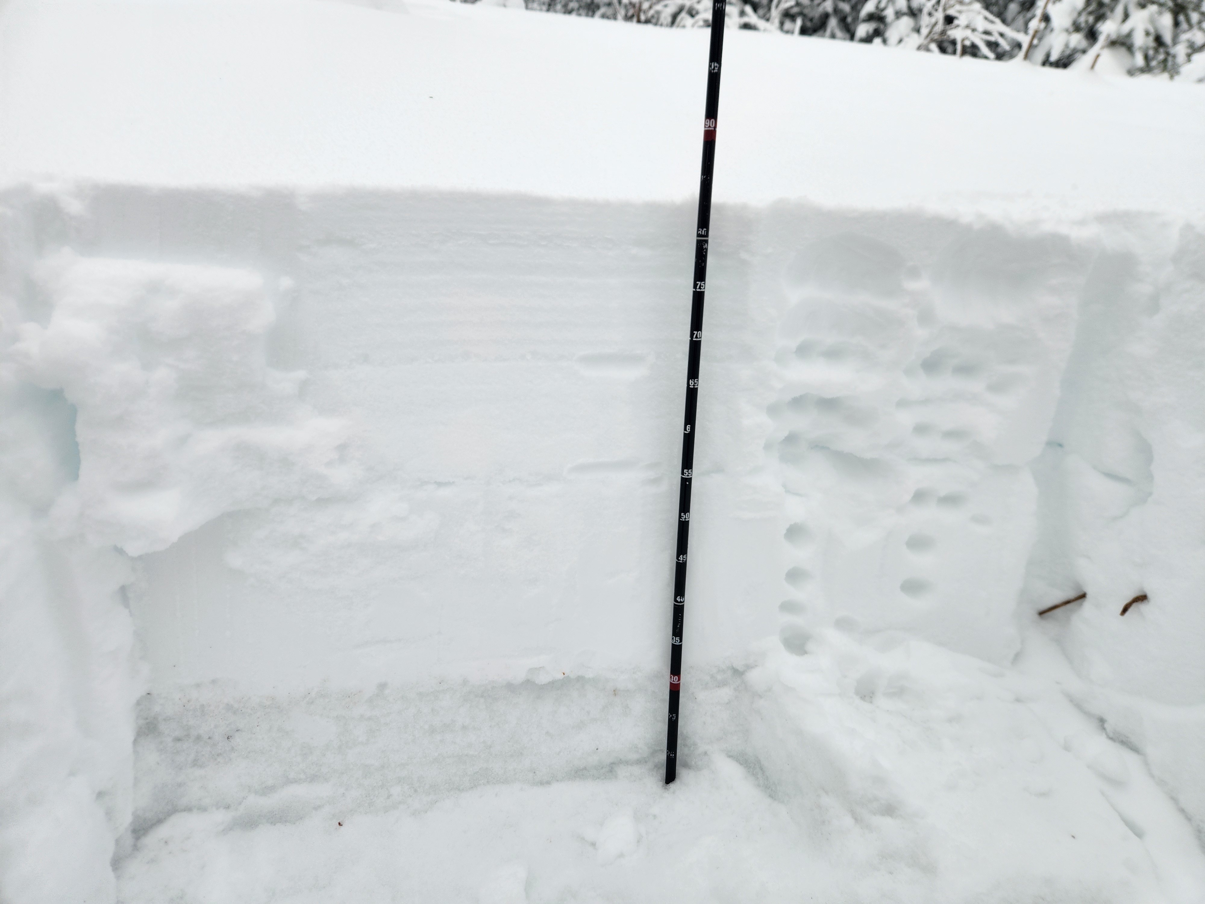
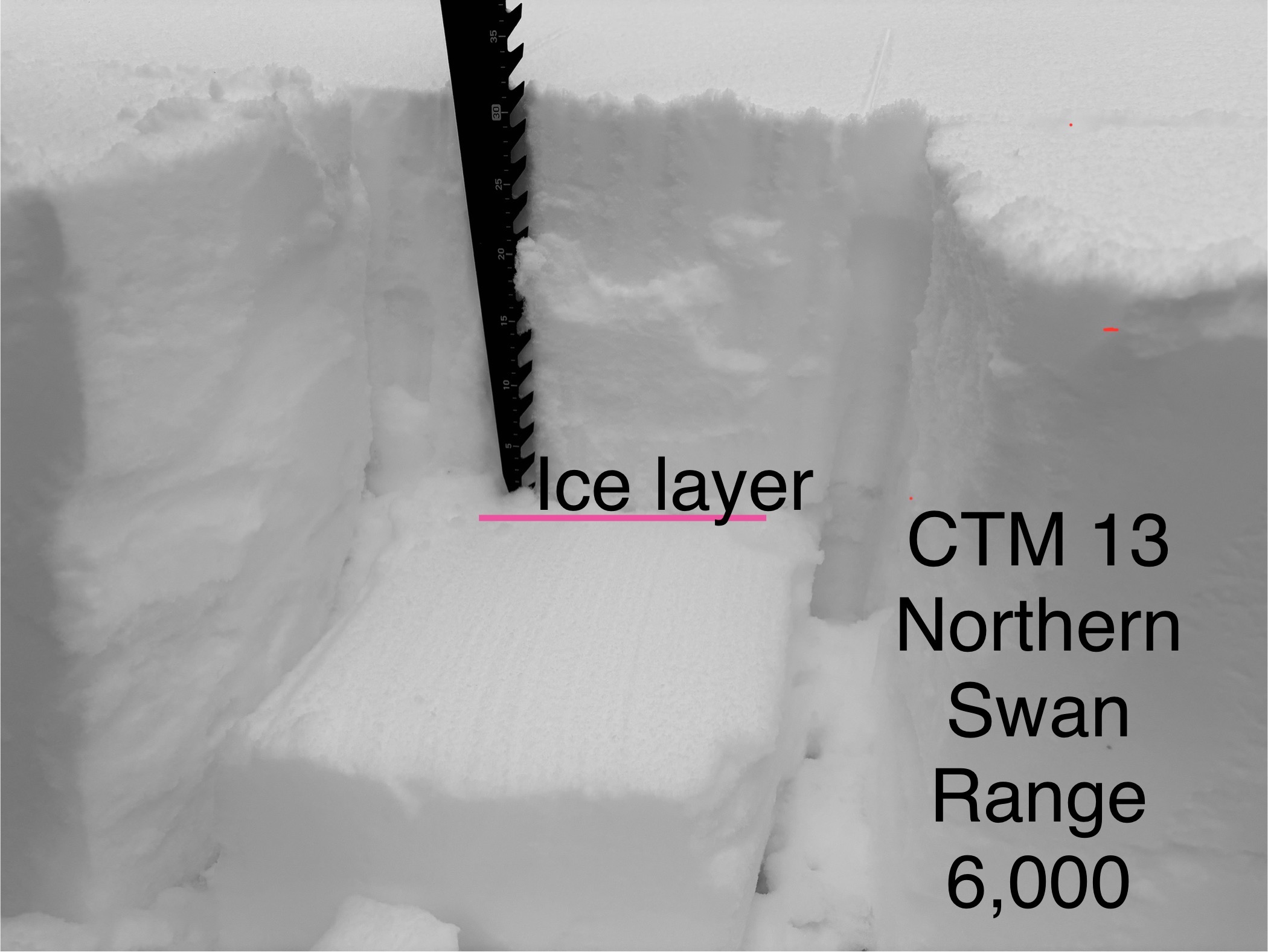
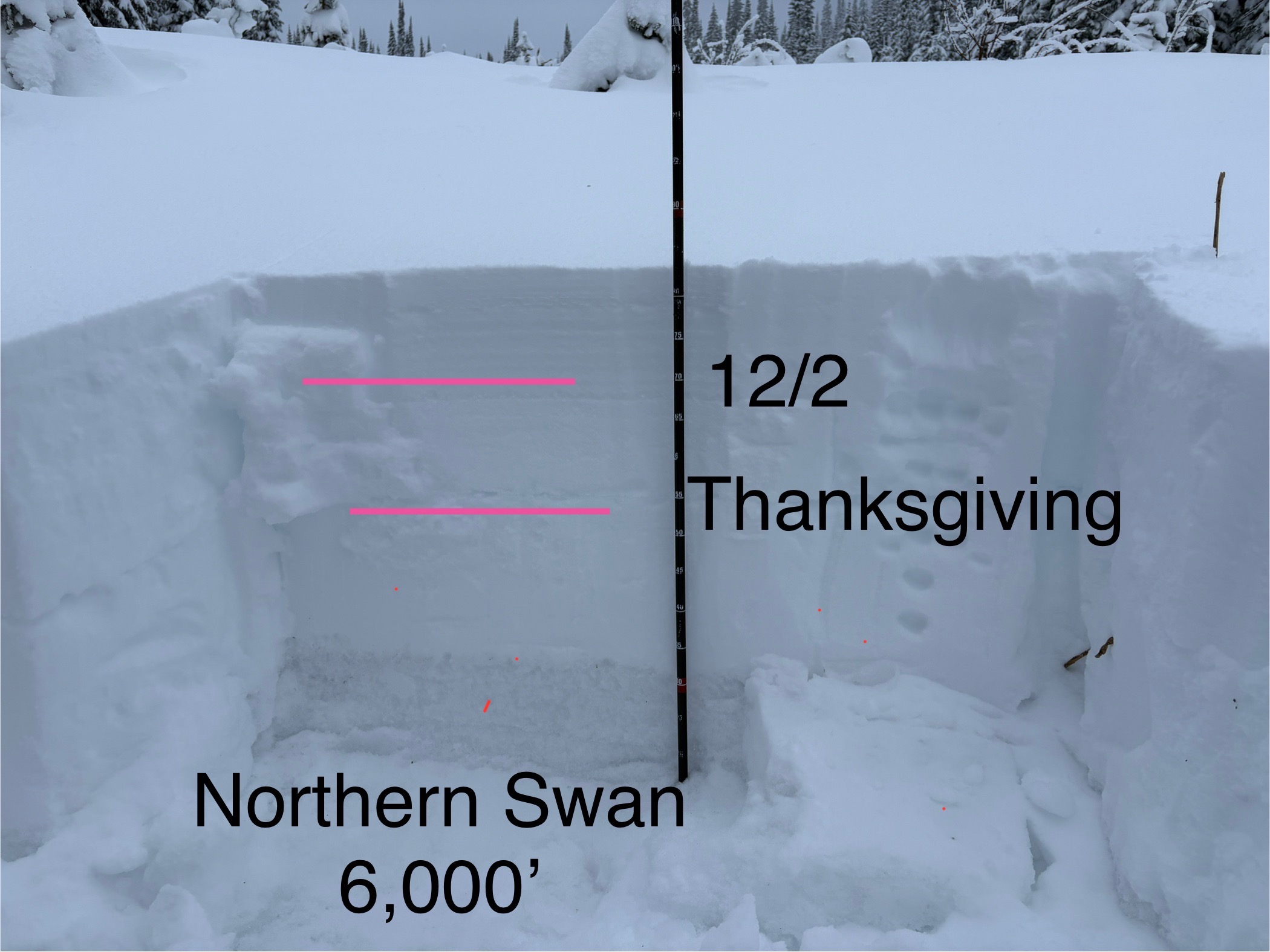
- The structure appeared similar to the Whitefish Range, with one stark difference. At 6000 feet in our pit location, we found a breakable crust approximately 30 cm down. We surmise that this crust was formed around Thanksgiving. It performed in a Compression Test (CTM 13), with no results in an Extended Column Test (ECTX). We presume this could have been due to the fact that the slab was still relatively soft (4F).
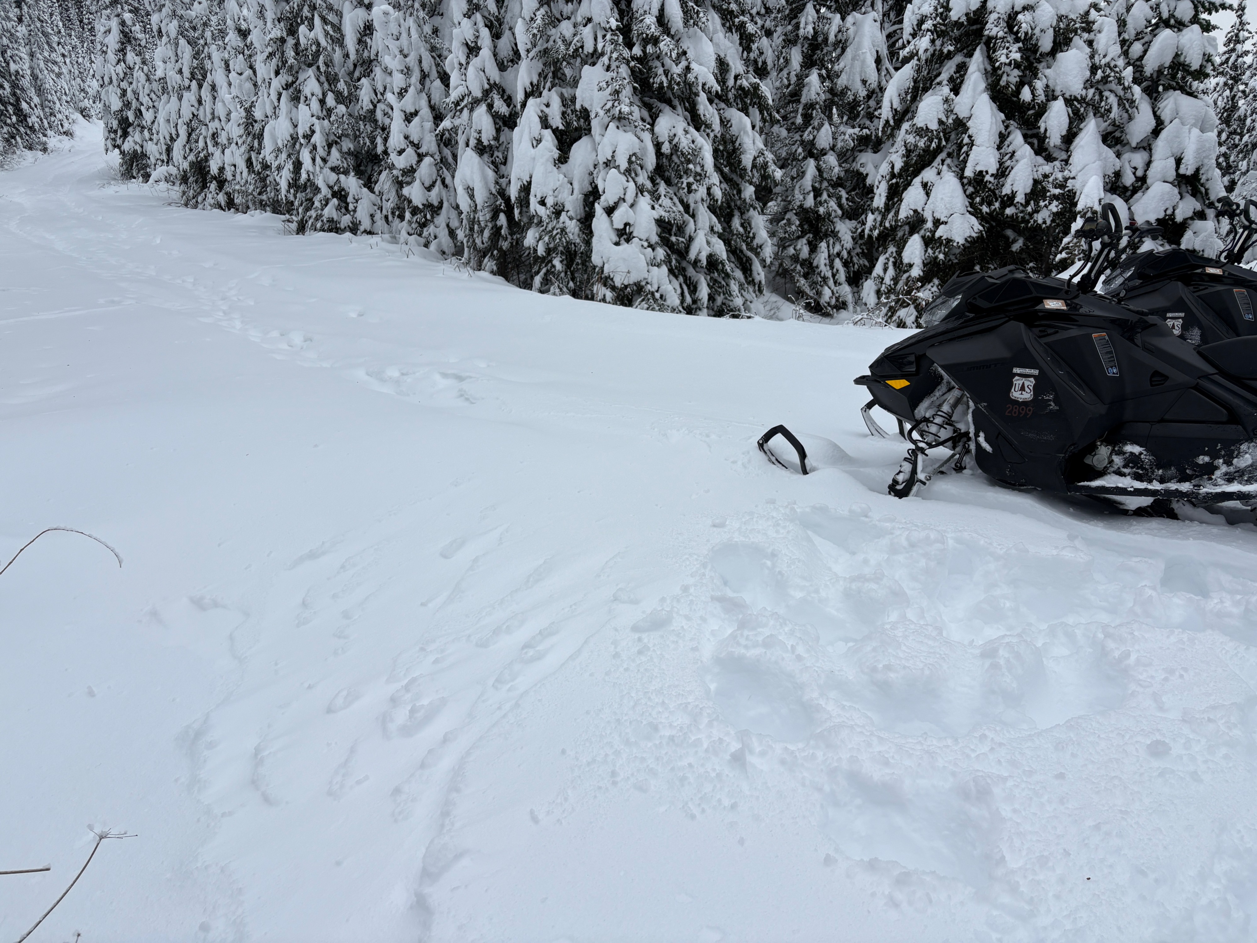
- There was slight drifting of snow on the more exposed parts of the road. We could hear winds ripping aloft, but we never could see the higher ridges. With lots of soft snow available for transport, we surmise there was plenty of wind loading up high.
- The snowpack consists of 85 cm of right-side-up snow. There remains a stout 30 cm basal layer.
- The upper 55 cm is starting to form a cohesive slab.
Weather
- Air Temp
- 25
- Cloud Cover
- overcast
- Wind Loading
- light
- Recent Snowfall
- 13
- Snow Avail For Transport
- large amounts
Overcast with light wind.
Snowpack
A couple of layers that are worthy of a watch moving forward:
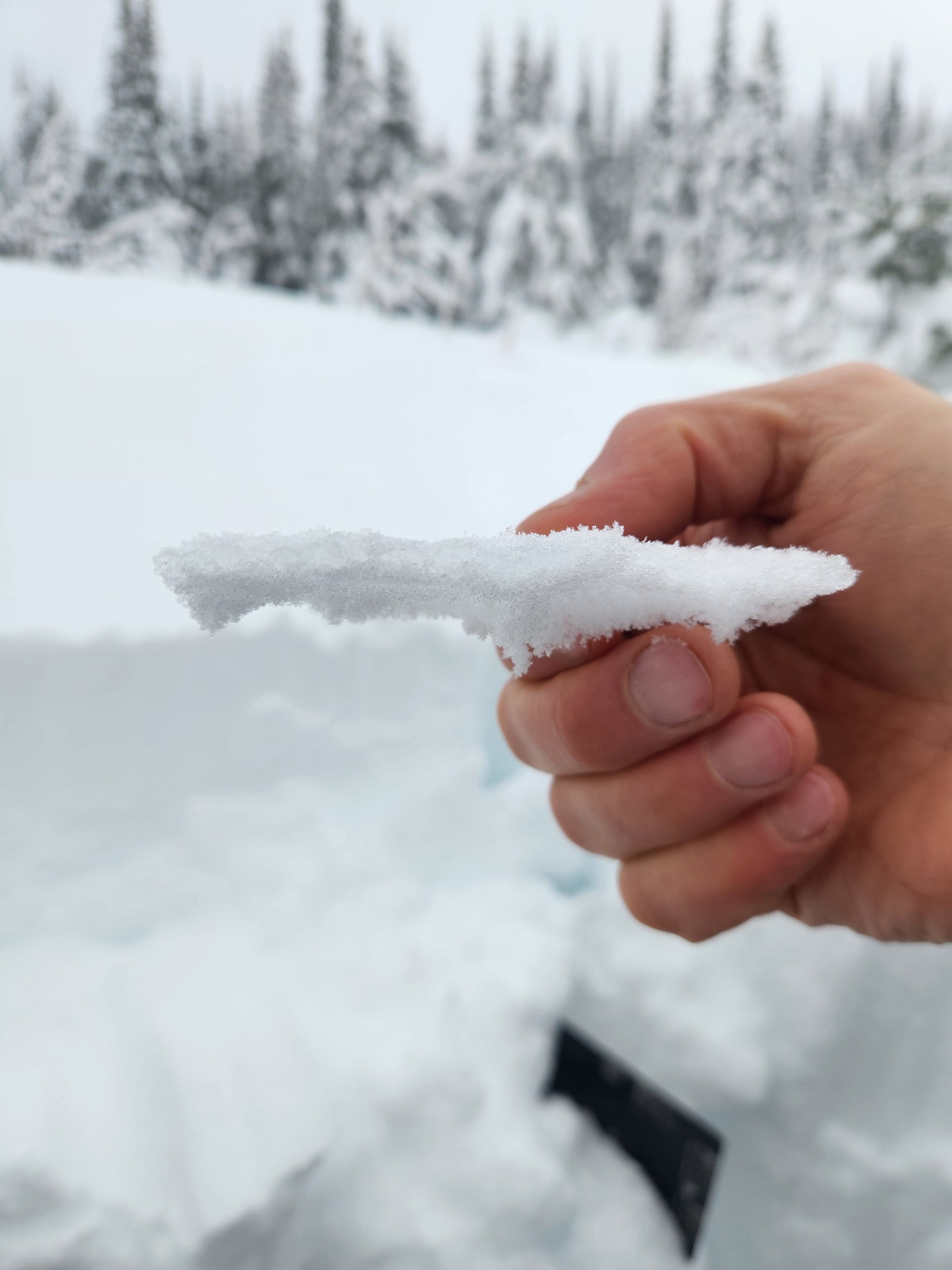
Just below the ice lens at the Thanksgiving interface, we found some .3-.5 mm decomposing fragments and fledgling facets that served as the failure point in our column test.
Resting above the stout basal crust were some soft .5-1 mm rounding facets. No results in the extended column test, but some modified testing revealed this layer and produced a very clean failure plane.