
Hailey-Stanley-Banner Summit and Lower Soldier weather station
Quick report
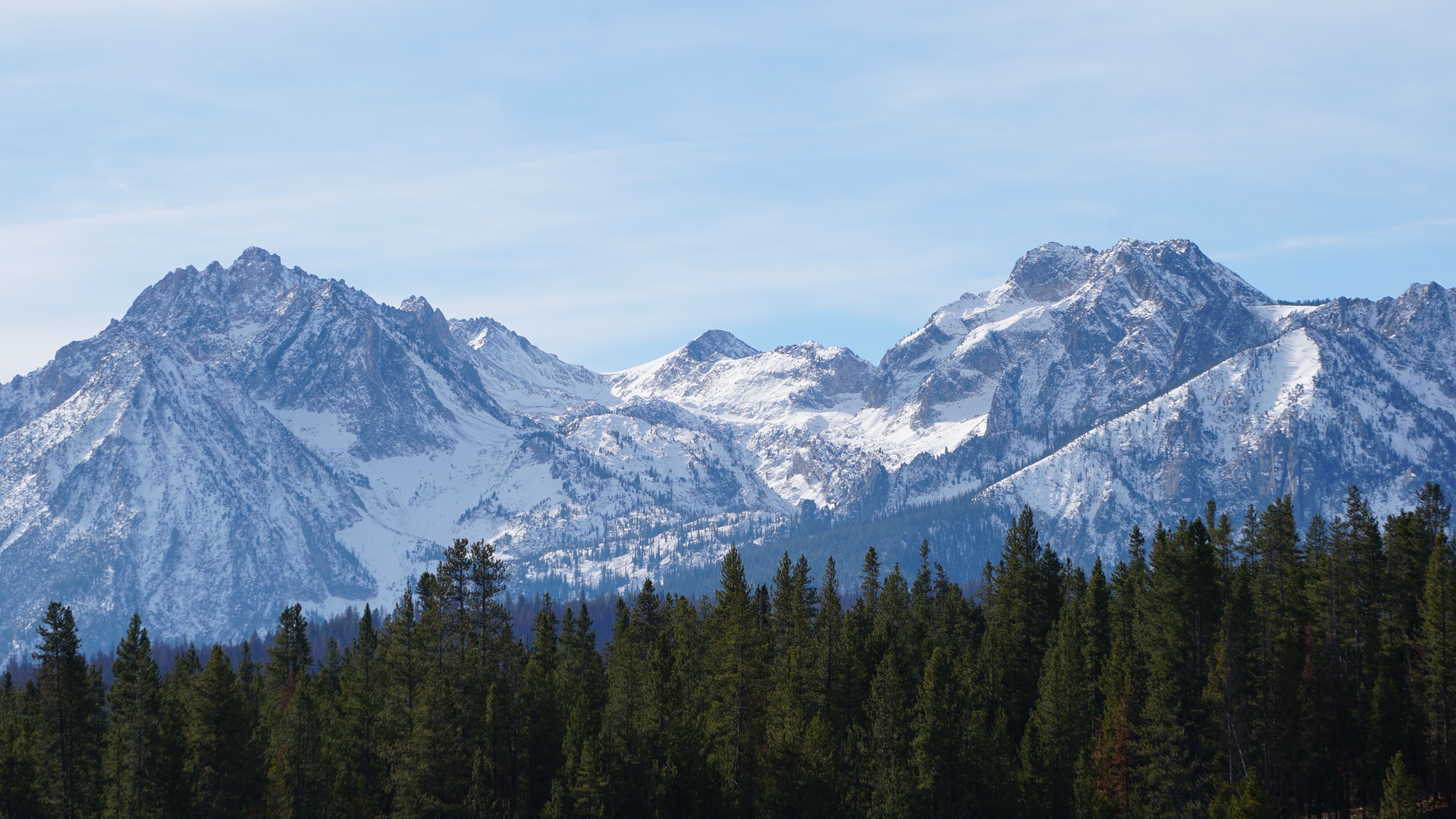
This was a driving and photo mission to document the distribution of old snow surfaces before the weekend storm, and a field mission to evaluate and repair the Lower Soldier weather station. Very limited snowpack observations today on the Stanley side of Galena Summit indicated/confirmed a thin, crusty, faceted snowpack. Link to Google Drive folder with dozens of photos: https://drive.google.com/drive/folders/1W2pTxjVApXQ9yJcsRzZOjbYFnTO39qp_?usp=sharing
You can read the General Avalanche Information product to gain a better understanding of why the photos of old snow cover are important information.
N/A: no on snow observationsWeather
- Air Temp
- 40s
- Cloud Cover
- scattered
- Recent Snowfall
- 0
- Snow Avail For Transport
- none
PC in southern area, MC to overcast in Sawtooths and Banner Summit areas
Snowpack
Crusts and facets on shady roadside slopes near Galena Summit. Otherwise N/A (no snow).
Old snow cover observations by zone (rough summary of where it exists):
- Soldier & Wood River Valley Mtns: NW-N-NE-E aspects near and above 9000'.
- Galena Summit & Eastern Mtns: NW-N-NE aspects above about 8000', E aspects above about 9000', some SE and W aspects in alpine terrain. Little observed old snow on S, SW aspects.
- Sawtooth & Western Smoky Mtns: NW-N-NE aspects above 7500', E aspects above about 8000', many SE and W aspects in alpine terrain. Little observed old snow on S, SW aspects.
- Banner Summit: NW-N-NE aspects above about 7500', E aspects above about 8000'. No observed old snow on SE, S, SW, W aspects due to the terrain topping out around 9000'.