
Quick report
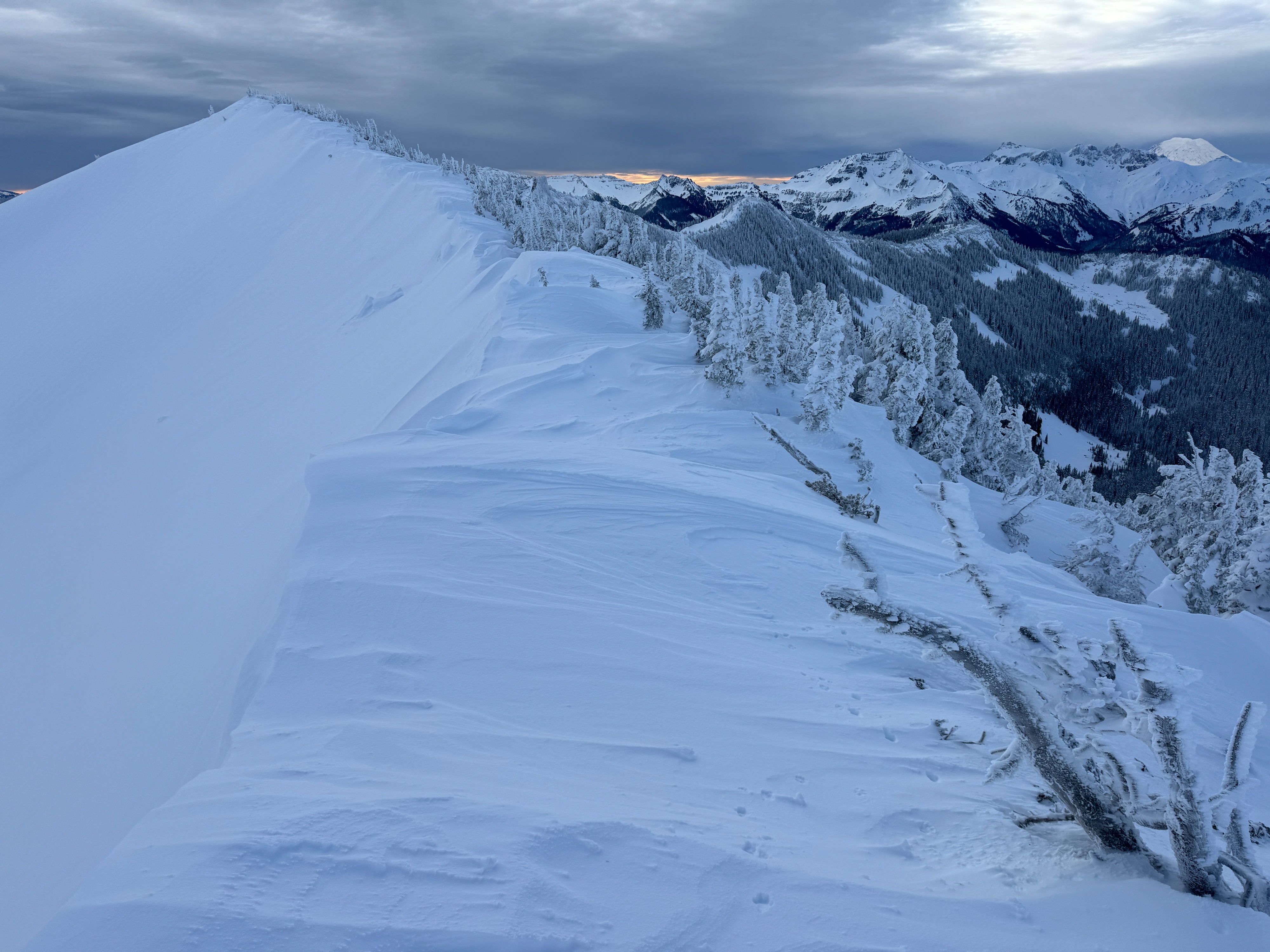
Not surprisingly, after Thursday's wind storm, we found tons of wind affected snow, large wind features, and firm, hard wind slabs. Even down in the trees, the wind had wreaked havoc on the snow surface forming impressive drifts, textured surfaces, and hollow slabs. Even though we saw a handfull of small natural avalanches from Thursday, we didn't find any fresh slides.
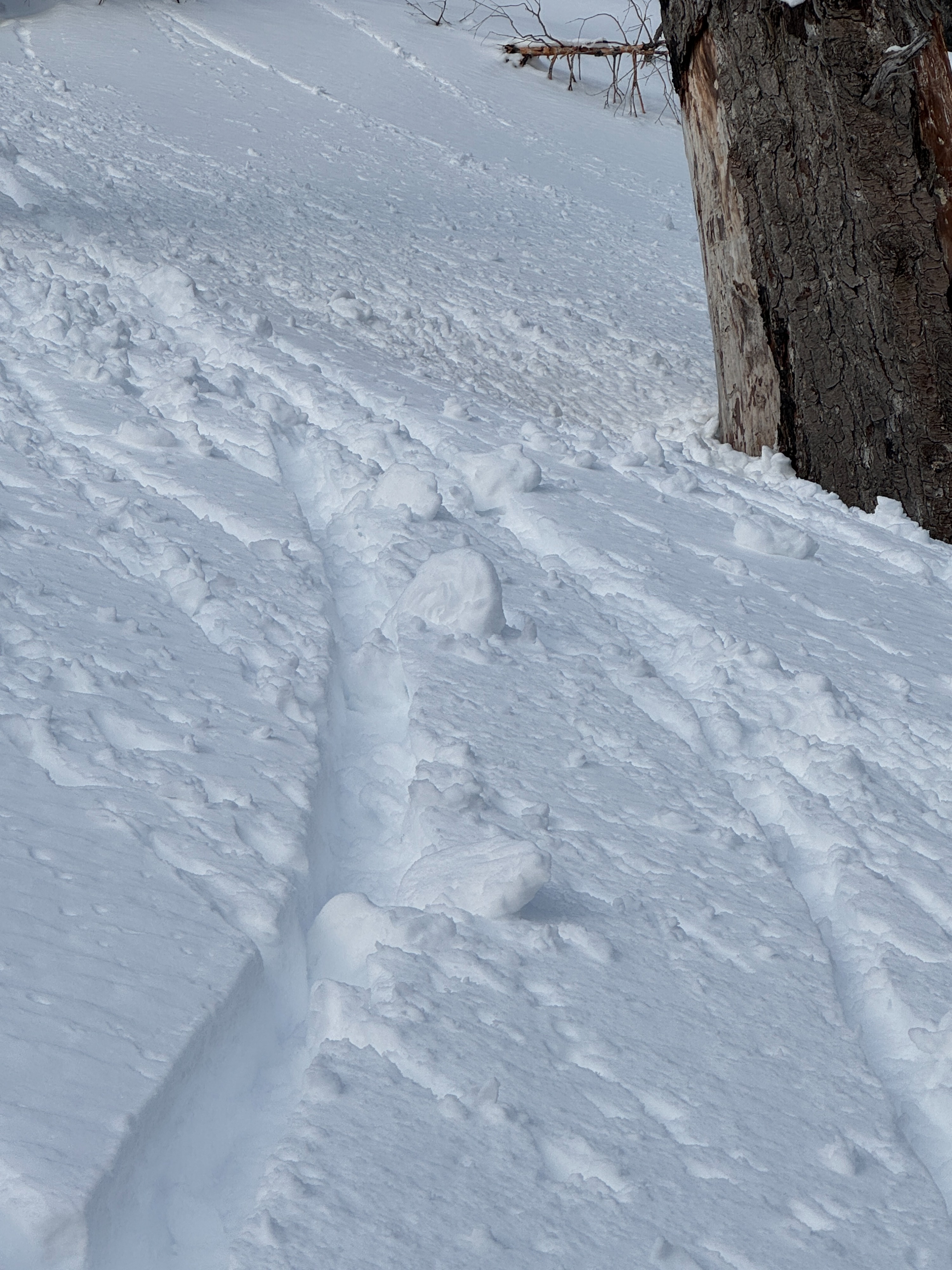
While the sun was held at bay by high thin clouds for nearly the entire day, it did finally peal through late in the afternoon. Rollerballs ensued in a couple of locations as snow shed from rocks and trees, but we didn't see any real wet loose avalanches. Instead, a very thin and weak crust fromed on S-SW aspects as soon as the snow dipped behind the ridge.
Weather
- Cloud Cover
- broken
- Wind Loading
- previous
- Recent Snowfall
- 2
- Snow Avail For Transport
- moderate amounts
A very nice day in the mountains. Generally filtered sunshine kept it cool. Light SSW winds. No new snow during the day.
Snowpack
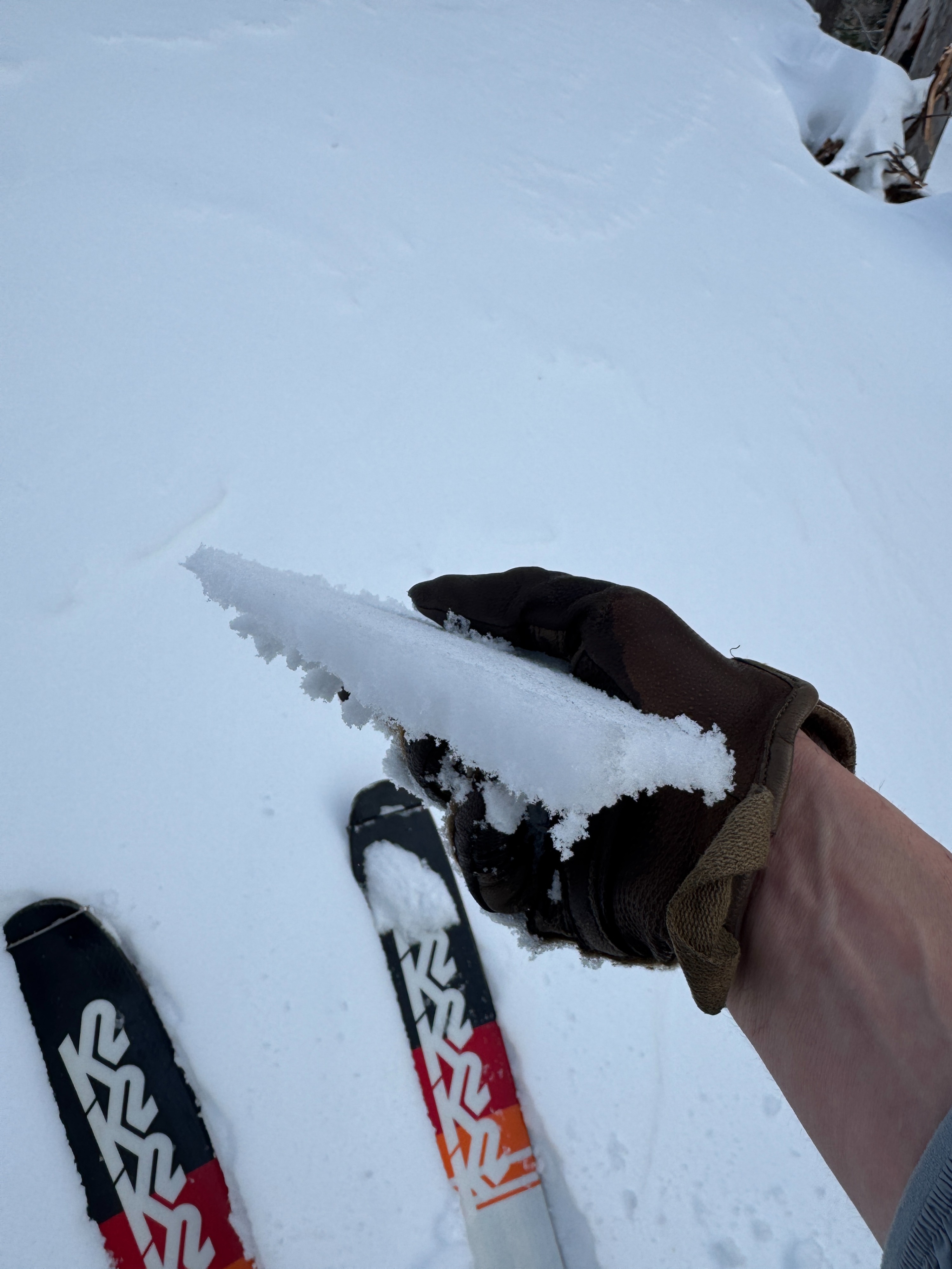
What a difference a day makes. Thursday's wind storm really reshaped the look and feel of this week's new snow. Wind affected snow was found on most slopes, even in more protected areas in the trees. This manifest as scoured slopes and frimer wind slabs. Digging with our hands and shovels generally revealed 4-8 inches (10-20cm) of firm wind drifted snow over weaker softer powder. Hard slabs like this are tough to test. So, while we jumped on many small test slopes and used uptrack tests, hand pits, and snow pack tests... none of them produced any meaningful results. Even still, never trust a hard slab. So, we just avoided large wind loaded features. We routinely found 2.5+ feet (75-80cm) of snow over the 1/3 crust. Below any wind affected snow, the upper snowpack was generally right-side-up. We could still find a few interstorm layers of rimed particles and stellar arms, but they didn't seem very concerning. The only notable thing we really saw in the upper snowpack was a 1.5-2mm facets over the 12/24 crust. We only found these grains in one of our two snow profiles. However, in this location, they failed suddenly in small column tests and propagated in a PST test. Hard to say much about this based on one hole in the snow, but it's worth keeping on our radar.
The sun wasn't much of a player for most of the day. However, late in the afternoon, it did peak below the cloud deck and warm S-SW aspects. The surface became wet and heavy, eventually forming a new weak crust as the slopes came back into the shade. Other than a few rollerballs, there wasn't any real wet avalanche activity.
Avalanche
- Size
- D2.5 R3
- Type
- HS
- Aspect
- NE
- Trigger
- N
- Elevation
- 6300 ft
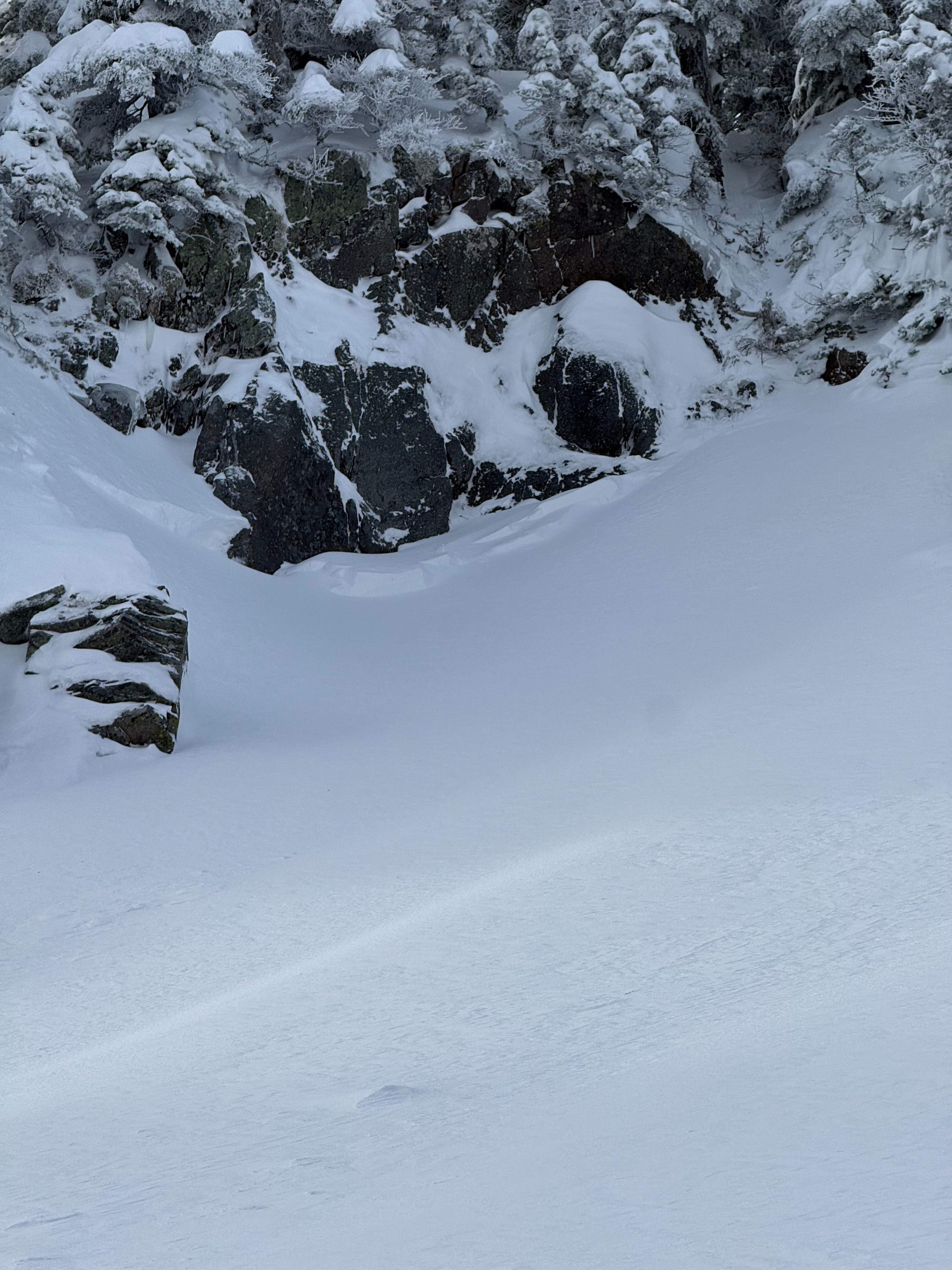
We noted several small natural wind slabs, mainly directly below rocks and cliffs. One much larger slab avalanche likely occurred Thursday. See avalanche entry for more details.