
Quick report
- Aspect
- Northwest
- Red Flags
- Heavy Snowfall
- Elevation
- 2835 m
- Slope Angle
- 20°
- Red Flags Comment
- <p>We stayed in sheltered mid elevation terrain. The primary red flag is the HST which has settled from >30 to about 26 to 28". In general on lower angle terrain <35 degrees everything felt stable. However towards the end of the day we dug a pit and performed quick ECTs and columns on steeper rollovers. We were not able to isolate the new snow on slopes >37-38 or so degrees. all failed near base of new snow. I think this may be related to the surface hoar I observed on Friday before the storm. I assumed that the warm wind may have broken it down but now I am not so sure. I would not want to be in steep terrain based on this. keeping the hazard at considerable.</p> <p>One ECTP, see below in profile notes.</p>
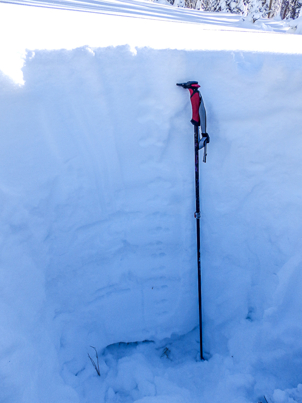
In general a good early season snowpack. HS - 54".
Basal facets are rounding and 3 finger hardness. Not a big concern in this area.
A rain crust about 12-14 above the basal rounding facets. It is decomposing.
The rest of the pack grades from 2 to 4 finger hardness capped by fist. One rain crust was observed in the mid pack about 12-14" above the basal facets. This appears to be decomposing. The recent storm snow has grapuel at the base.
Note ECTP 21, Q2 @ base of new snow, slow it did not "pop". This shear is similar to some of my pole columns yesterday.
Photos below.
1. basal rounding facets
2. mid pack rounds
3. base of storm snow
4. ECTP results
Overall I would say considerable hazard we felt that we would not want to ski steep terrain.
Snowpack
- Instability Comment
- <p>See notes above for red flags.</p> <p>Considerable hazard.</p> <p>As usual for the Tushers, all of the alpine looked nuked.</p> <p>I would speculate considerable hazard.</p>
Powder, 'nuff said. Settled out a bit from yesterday.