
Quick report
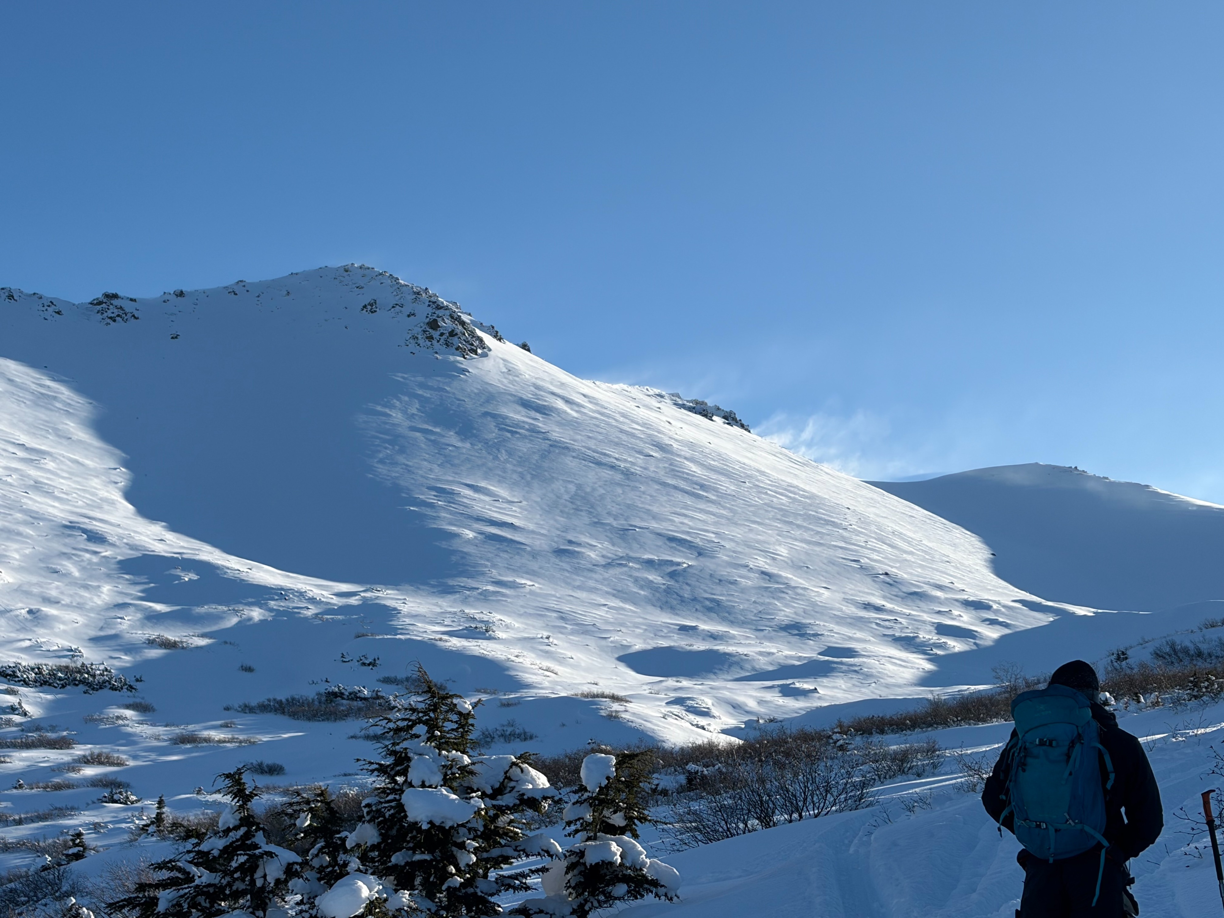
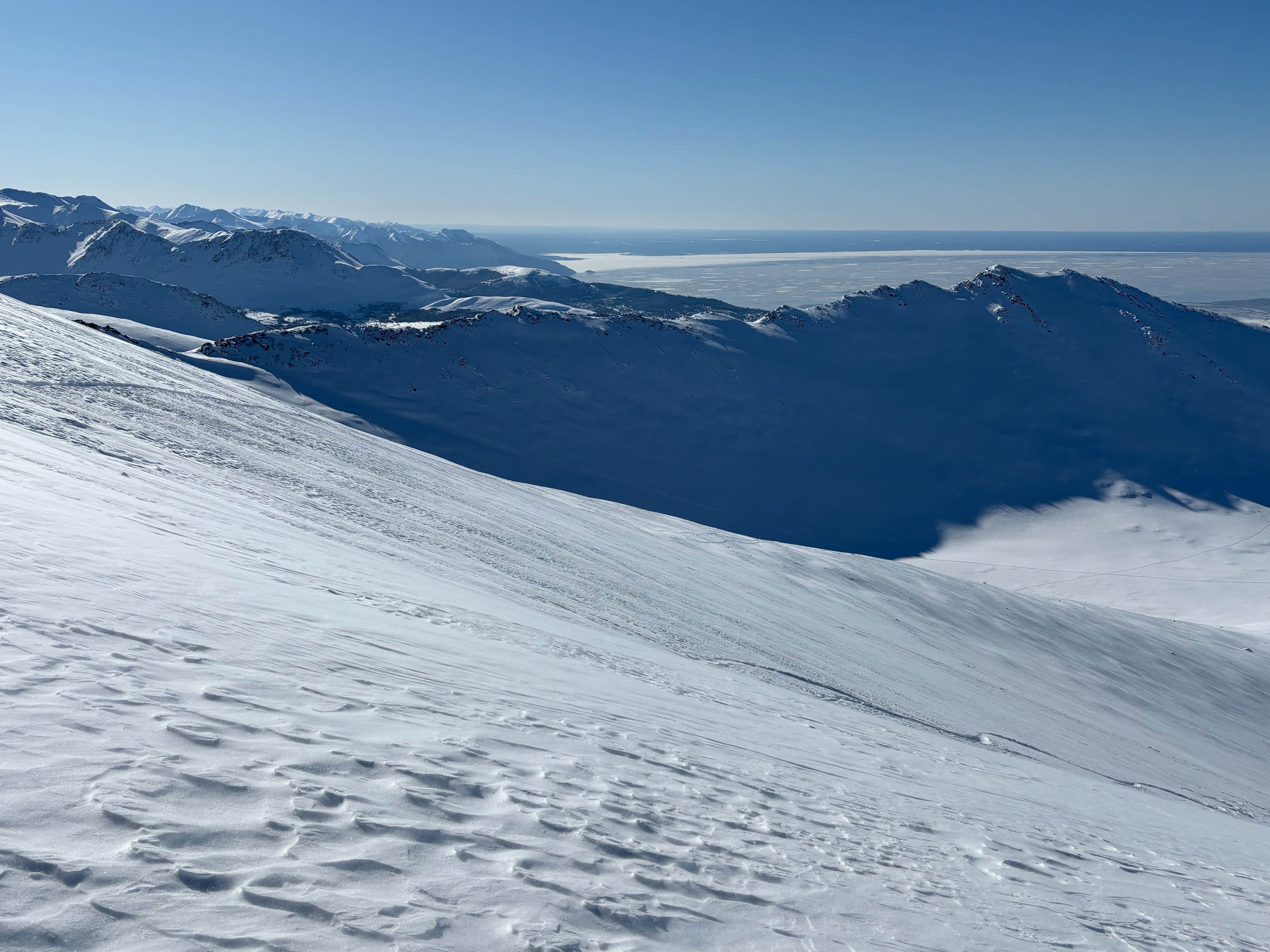
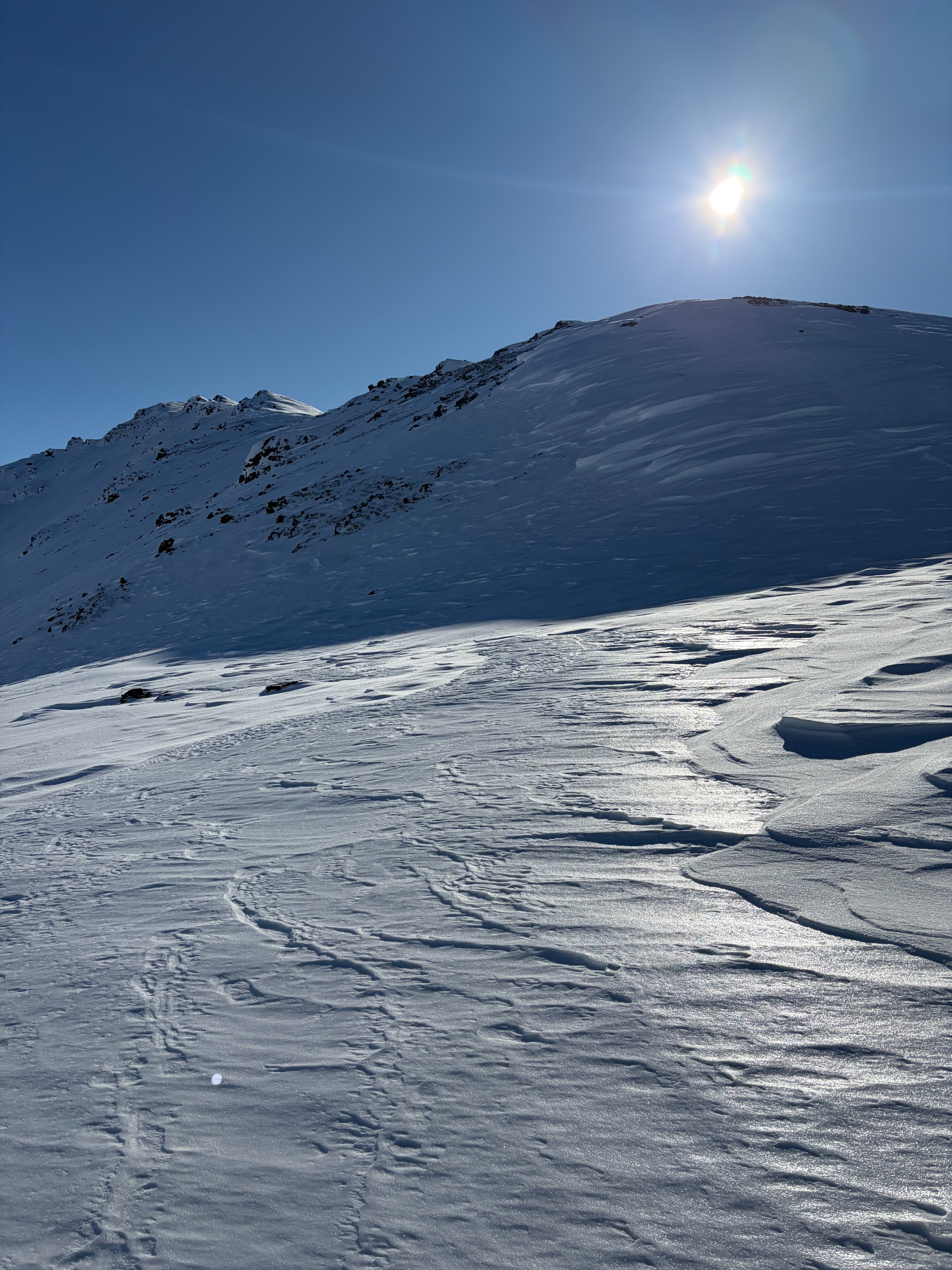
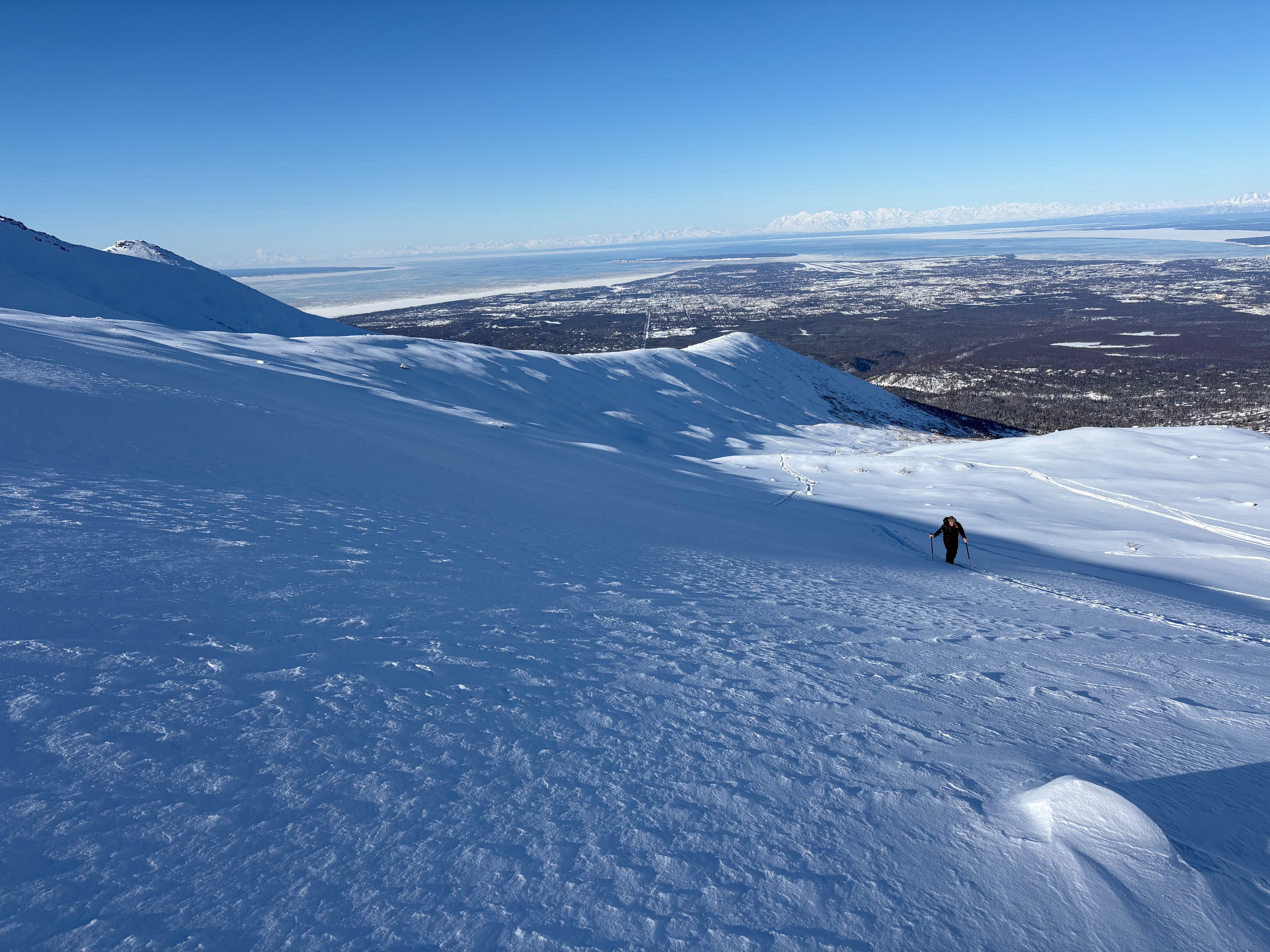
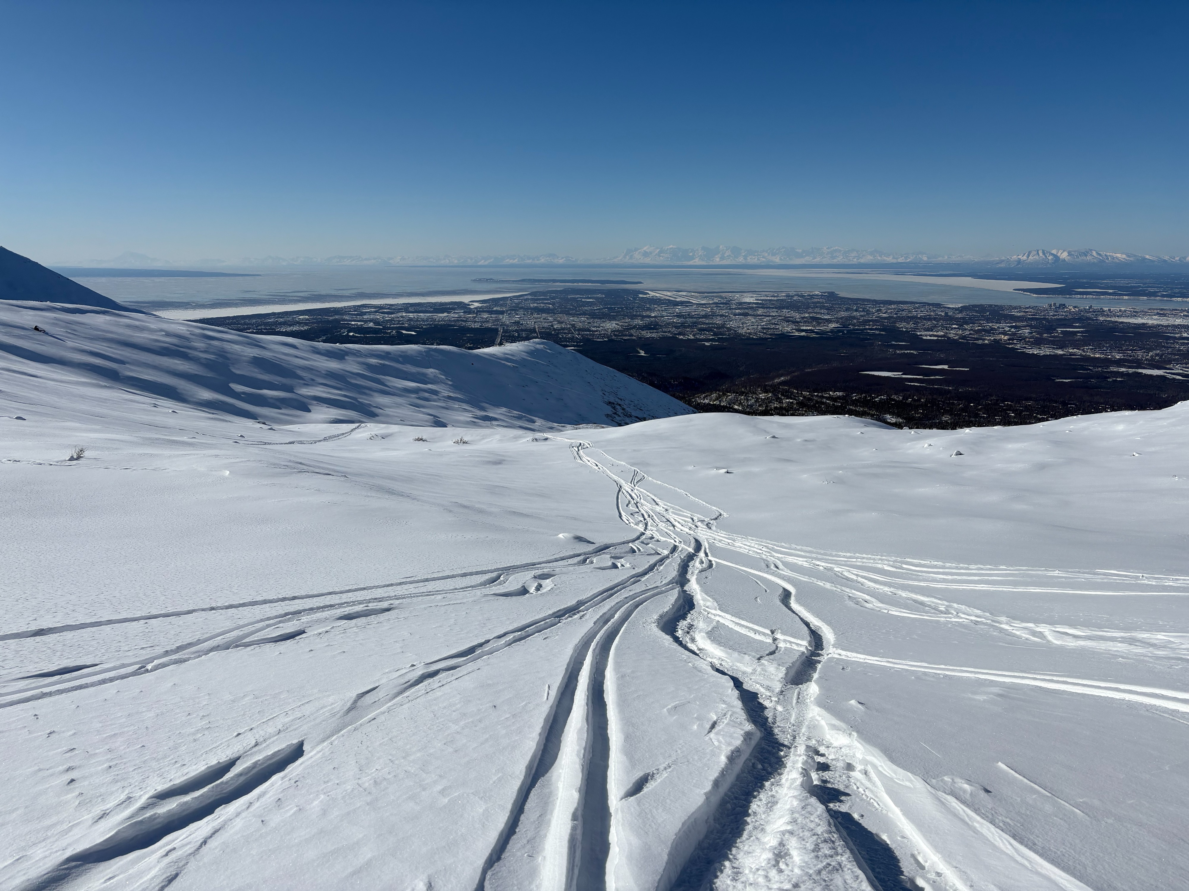
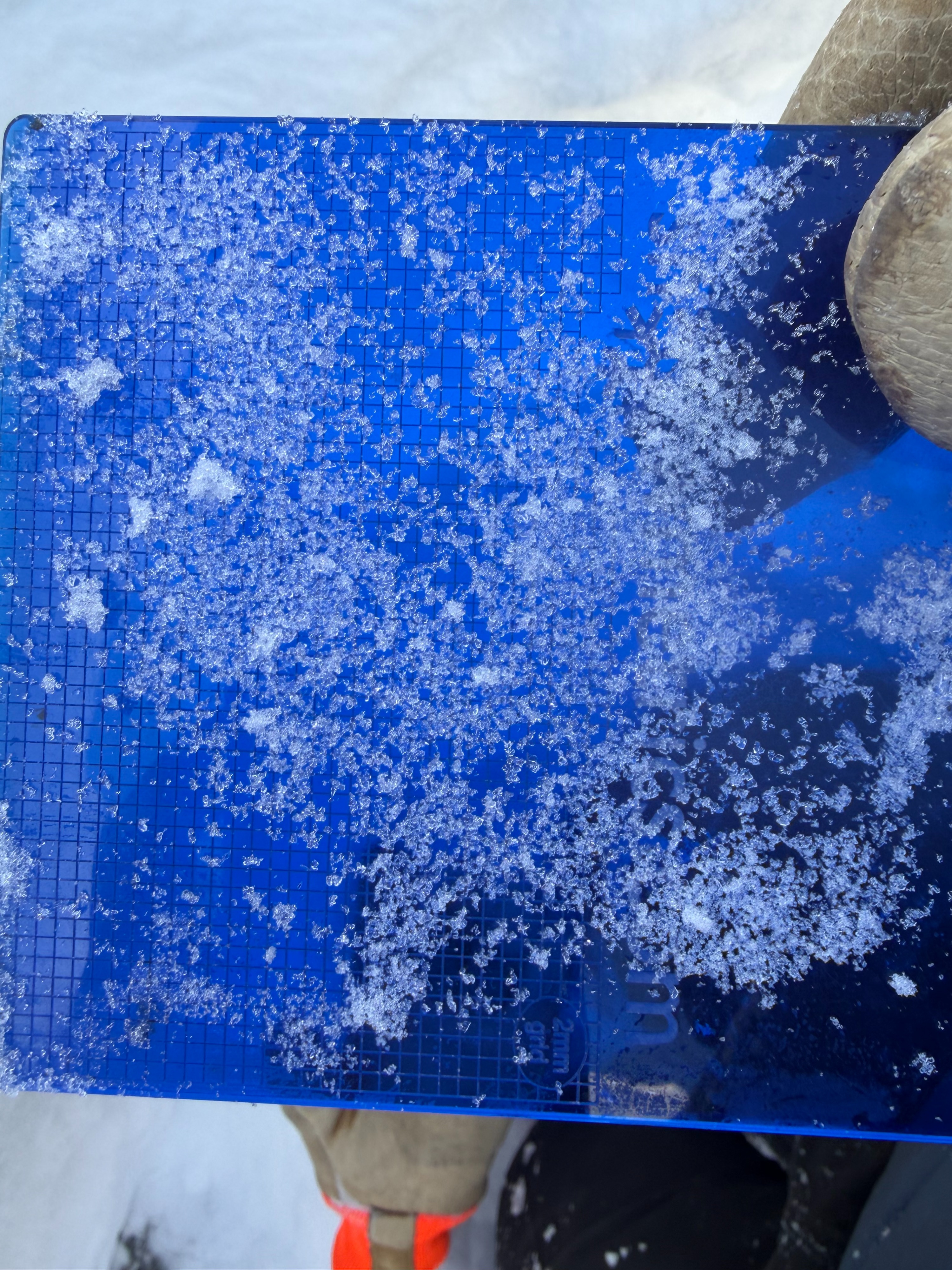
We toured out to Wolverine to check out conditions and snow totals. In unusual fashion, much of Chugach State Park has been spared from the typical winds since the last snowfall. While we did find some localized areas of classic Front Range wind board, we encountered mostly soft conditions from the parking lot to our high point at 3,900 ft. Although many surrounding valleys appeared to hold good riding, rocks were often lurking beneath the 12–14 inches of low-density powder. In more protected areas that had an established base prior to this storm, the new snow was all we could feel beneath our feet. Overall, conditions are quite good for the Front Range. We observed some flagging and blowing snow along Wolverine Ridge, but it only lasted briefly. There is plenty of snow available for transport, and if winds increase we will likely see wind slabs quickly building across much the forecast zone. The overall structure of the snowpack remains poor in classic Front Range fashion, with low-density snow sitting atop a mix of faceted layers, crusts, with depth hoar near the ground. While there has not been activity on these deeper layers in several weeks, they are still on our minds as we carefully travel through avalanche terrain.
Weather
- Cloud Cover
- clear
- Wind Loading
- light
- Recent Snowfall
- 12-14 inches
- Snow Avail For Transport
- large amounts
Cold and clear
Snowpack
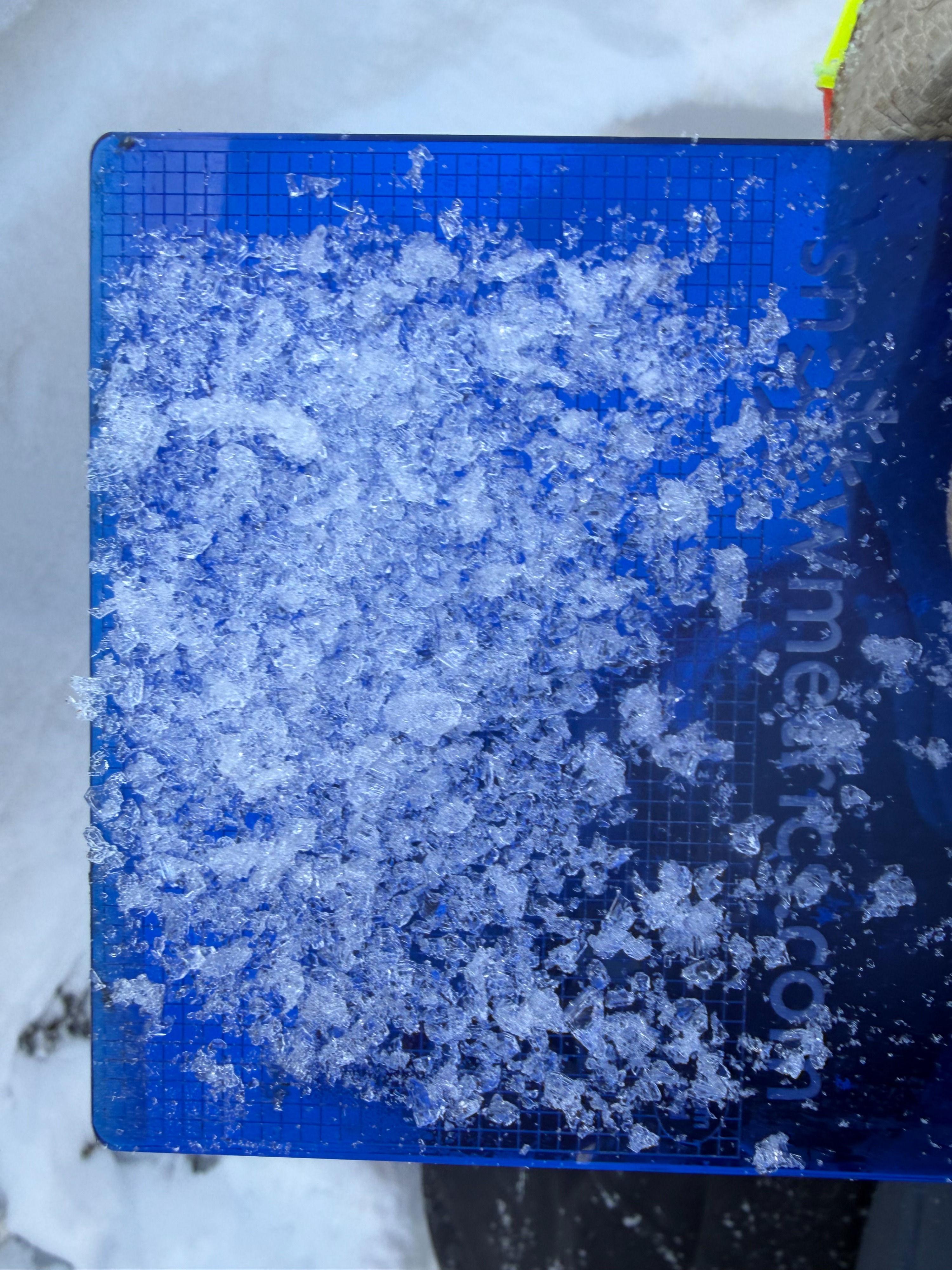
We dug a snowpit on a westerly aspect at 3,800 ft and found good stability, though the snowpack structure remains poor. At this location, recent unconsolidated storm snow sits atop a layer cake of faceted crust layers with depth hoar near the base. Most notably, about 2 ft down we found a few-inch-thick layer of 1 mm facets that formed during the previous cold and dry spell. This facet layer is not a problem right now, but with a larger load or the development of a more cohesive slab from warming or wind, it could become reactive. Let’s hope the next loading event brings more snow and not strong winds.