
Quick report
The forecasting team poked into the lower snowfields that run underneath Duchess and Empress (avoiding those runouts today) to assess wind slab development in sheltered east facing terrain.
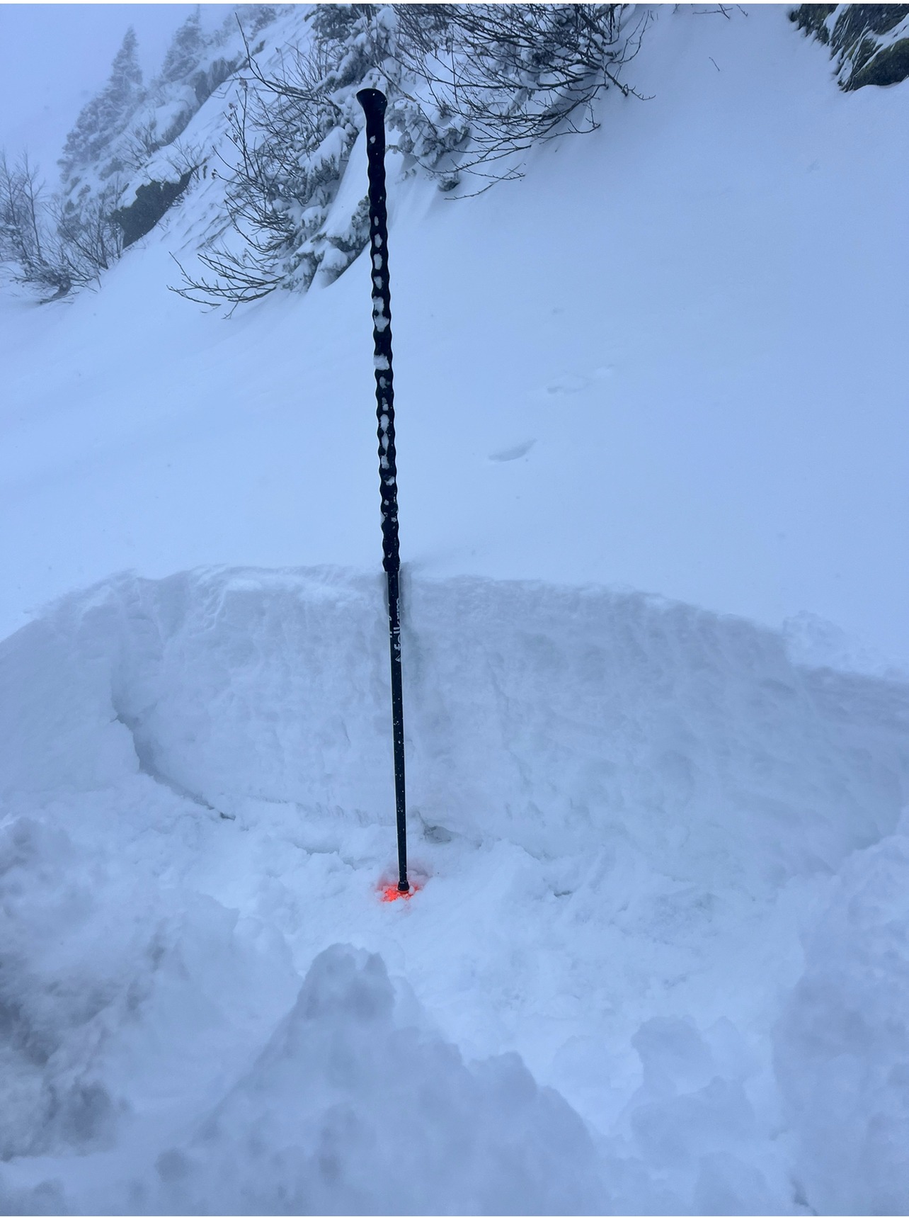
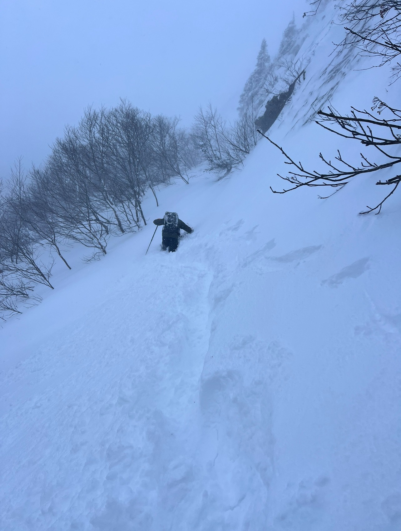
A quick summary is that we found variable snow depths, ankle to chest deep, of dry, loose unconsolidated snow that was more like storm snow than a wind slab.
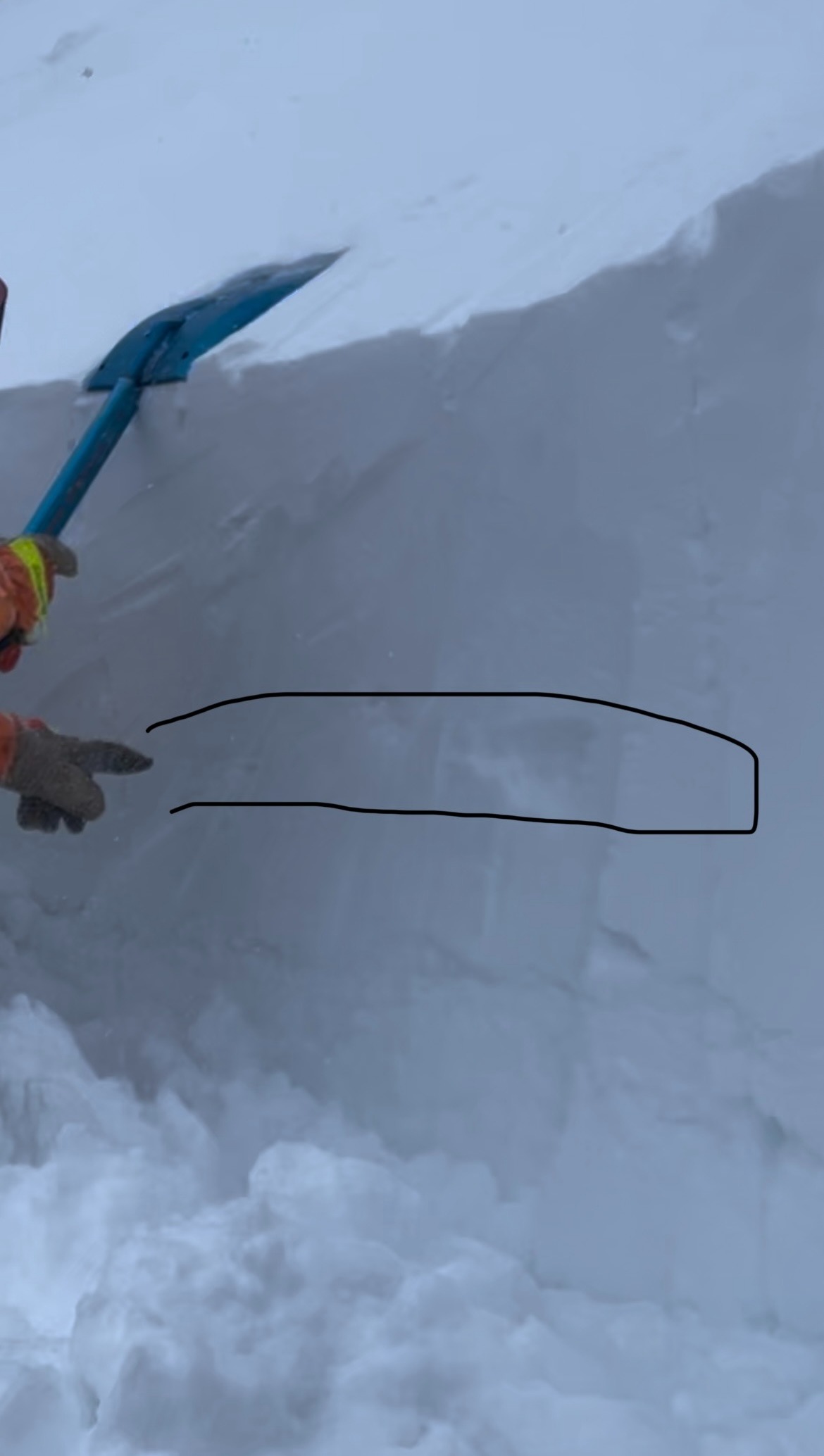
In more wind affected snow, we found a strong-over-weak composition with a slight hand hardness change. We speculate that this could act like a weak layer and that it has the potential to be buried deep within a slab and is something to be mindful of tomorrow.
Weather
- Air Temp
- 8
- Cloud Cover
- overcast
- Wind Loading
- light
- Recent Snowfall
- 10 cm (6 am total)
- Snow Avail For Transport
- large amounts
Cold temperatures and strong winds were observed. Did not really observe much wind loading, but was in sheltered terrain and visibility was limited and could not make out ridgelines, but snow was moving.
Snowpack
It is important to note that the terrain we were in was very sheltered, so more exposed terrain has far more wind effect, but the composition and trends are something that will be developing in south and east facing terrain.
We found a lot of dry, loose unconsolidated snow that was more like a storm slab, as we will sometimes see in the beginning of a storm cycle or in sheltered terrain. This snow was fist hard pretty evenly throughout the new snow. Depths were variable from ankle deep to chest deep. In areas without any drifts (like on the trail more sheltered in the tree) the height of snow seemed consistent at about 7 inches. In the terrain we spent our time depths were more consistently 1.5-2 feet.
We did find more wind affected snow, and found this snow to be consolidating and starting to feel more like a slab. This snow was 4F in hardness. We found a slight hand hardness change within the storm snow that was likely from the lower winds that this storm started with. We had speculated this morning about the potential for strong-over-weak composition but as the winds had ramped fast early, we were unsure if this makeout would be found. This composition has the potential to act like a weak layer, but as snow continues to load and the slab becomes larger this layer has the potential to be buried deep. This could result in much larger avalanches and is something to be mindful of in steep terrain.
Snow that is exposed to more wind, like most of the desirable steep skiing, was likely firmer and more wind affected. This would give the snow more of a slab feel in that the snow would start to feel bonded and cohesive.
In talking with others that tried to ski Hillmans, found out that they had found shooting cracks in the surface snow and turned around. As they got into the lower parts of the terrain they were finding that the snow went from fist hard to 1F in hardness and that firmer snow was more sensitive and cohesive.