
Quick report
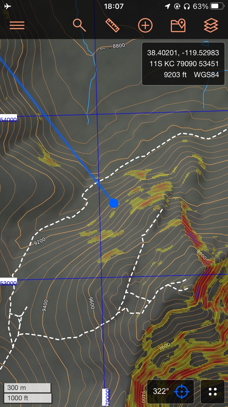
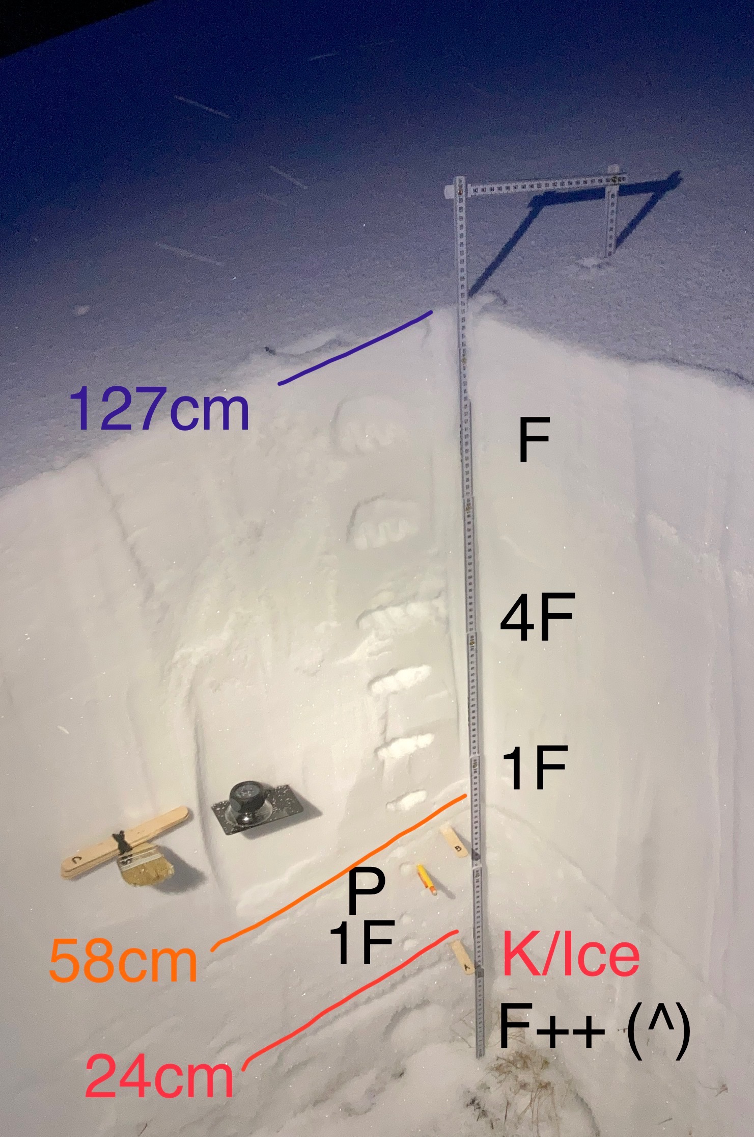
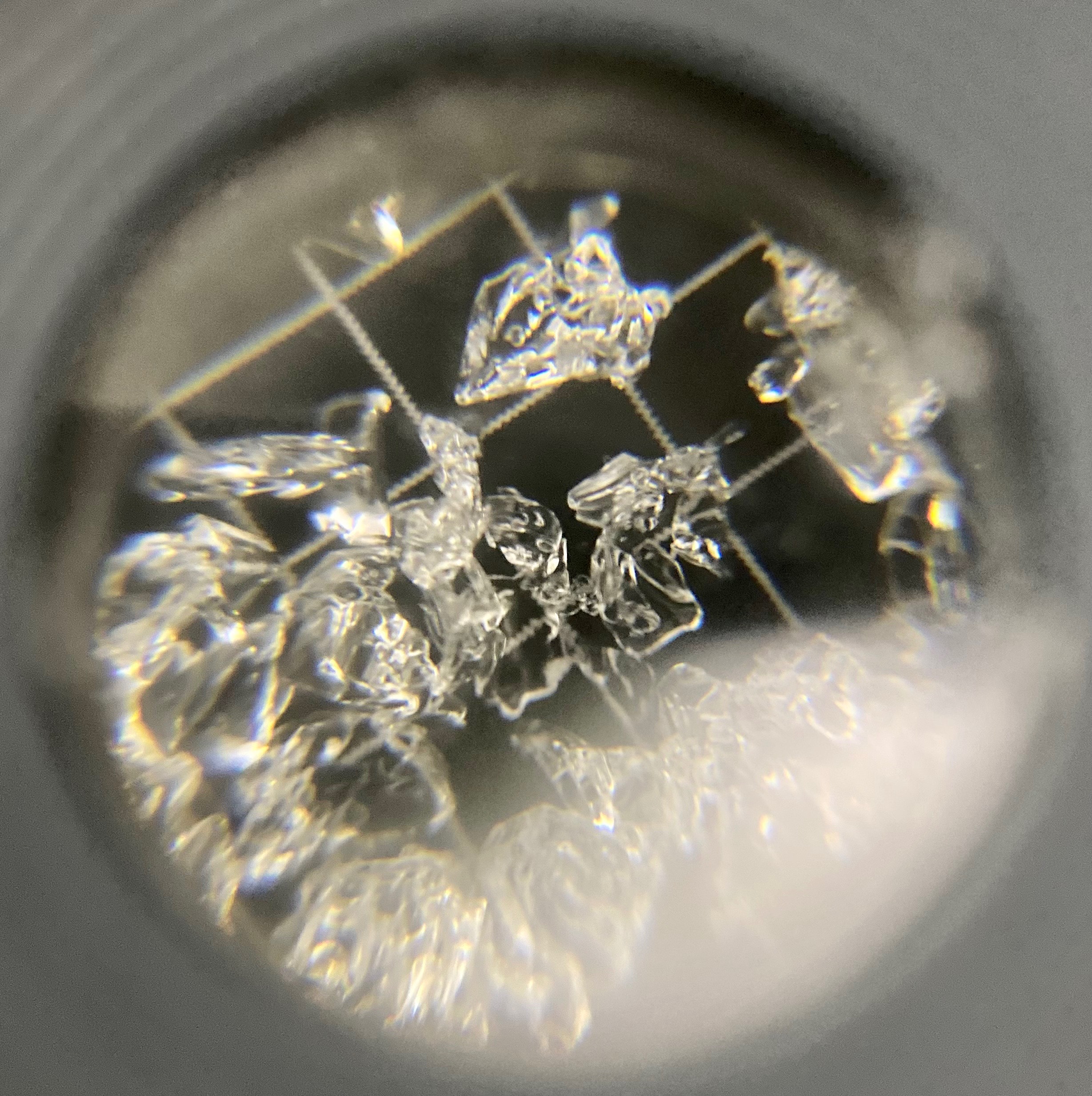
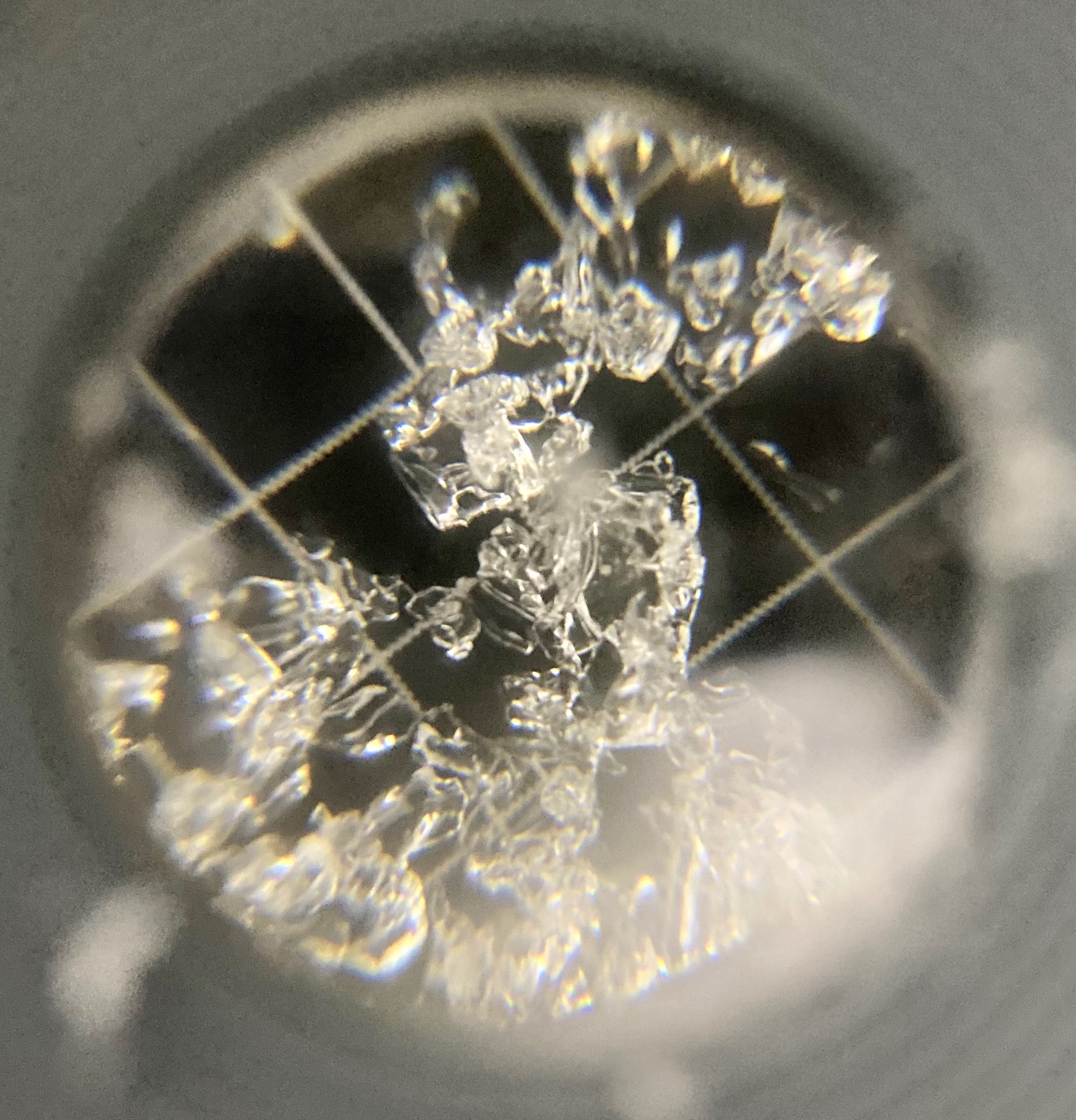
NW facing aspect at 9200’, this area is -and typically receives- severe wind loading… performed (3) CTs, all with Q1 failures at approx 10cm (within depth hoar in the 0-24cm layer) @ CT19, CT18 & CT24… ground level facet layer had 2-3mm crystals with some exhibiting rounding… 2 degree (F) differential between the depth hoar layer (28 degrees F) and the next layer (26 degrees F) on the other side of the 1cm K/Ice layer…. OVERALL: PWL still remains incredibly unstable but the snowpack as a whole has created relative “strength” due to the nature of the slab above… low probability, high consequence (as seen in areas further west and higher in elevation) -matt No red flags observed
Weather
- Air Temp
- 12
- Cloud Cover
- few
- Wind Loading
- intense
- Recent Snowfall
- 1cm
- Snow Avail For Transport
- moderate amounts
Party sunny transitioning to light snow flurries starting at sunset
Snowpack
Snowpack noticeably shallower and more effected by warm temps/temp fluctuations here than points higher and further west… the current noticeable line of demarcation on this effect is Cloudburst Creek/Little Wolf Creek and 8300’