
Quick report
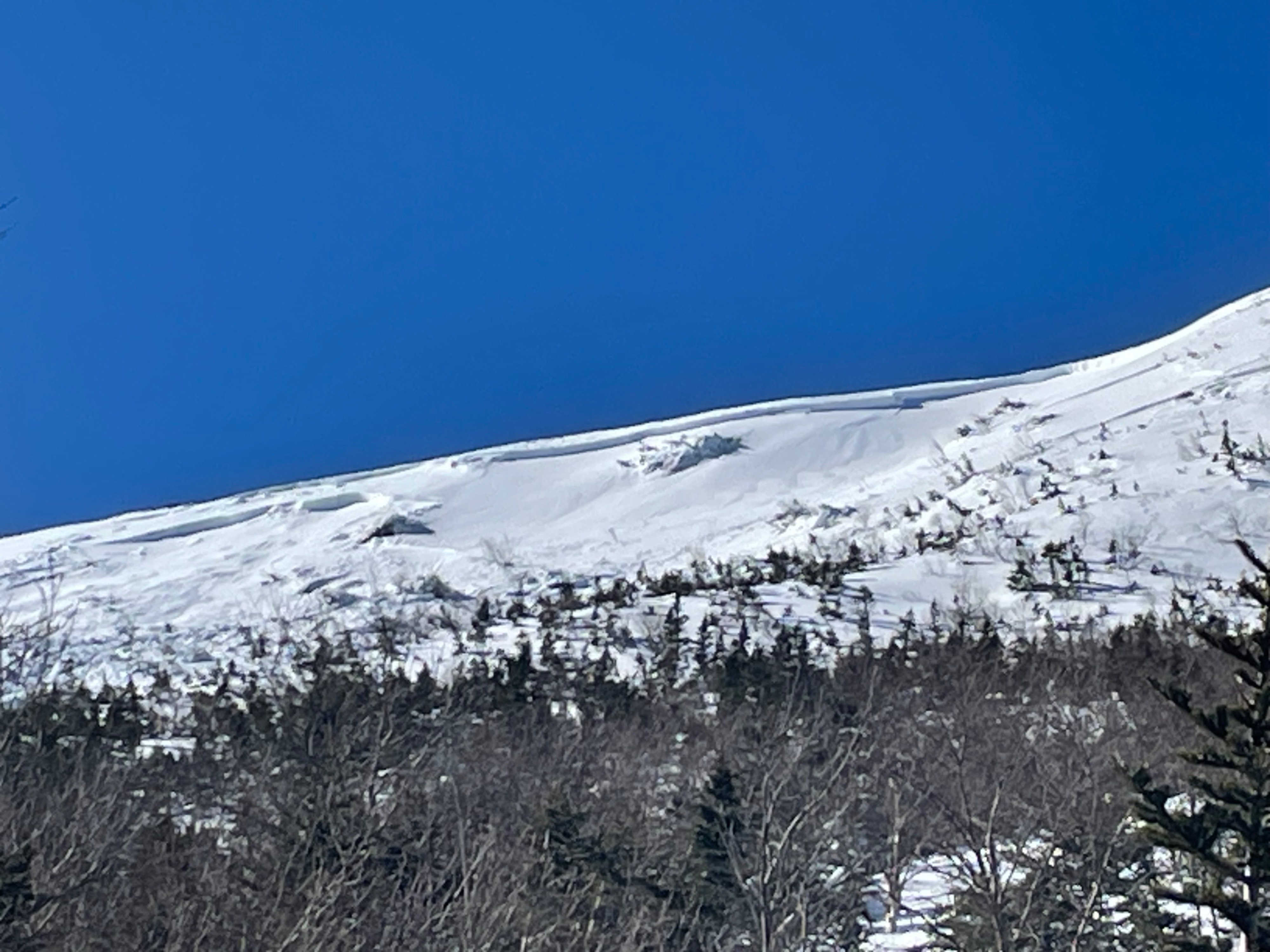
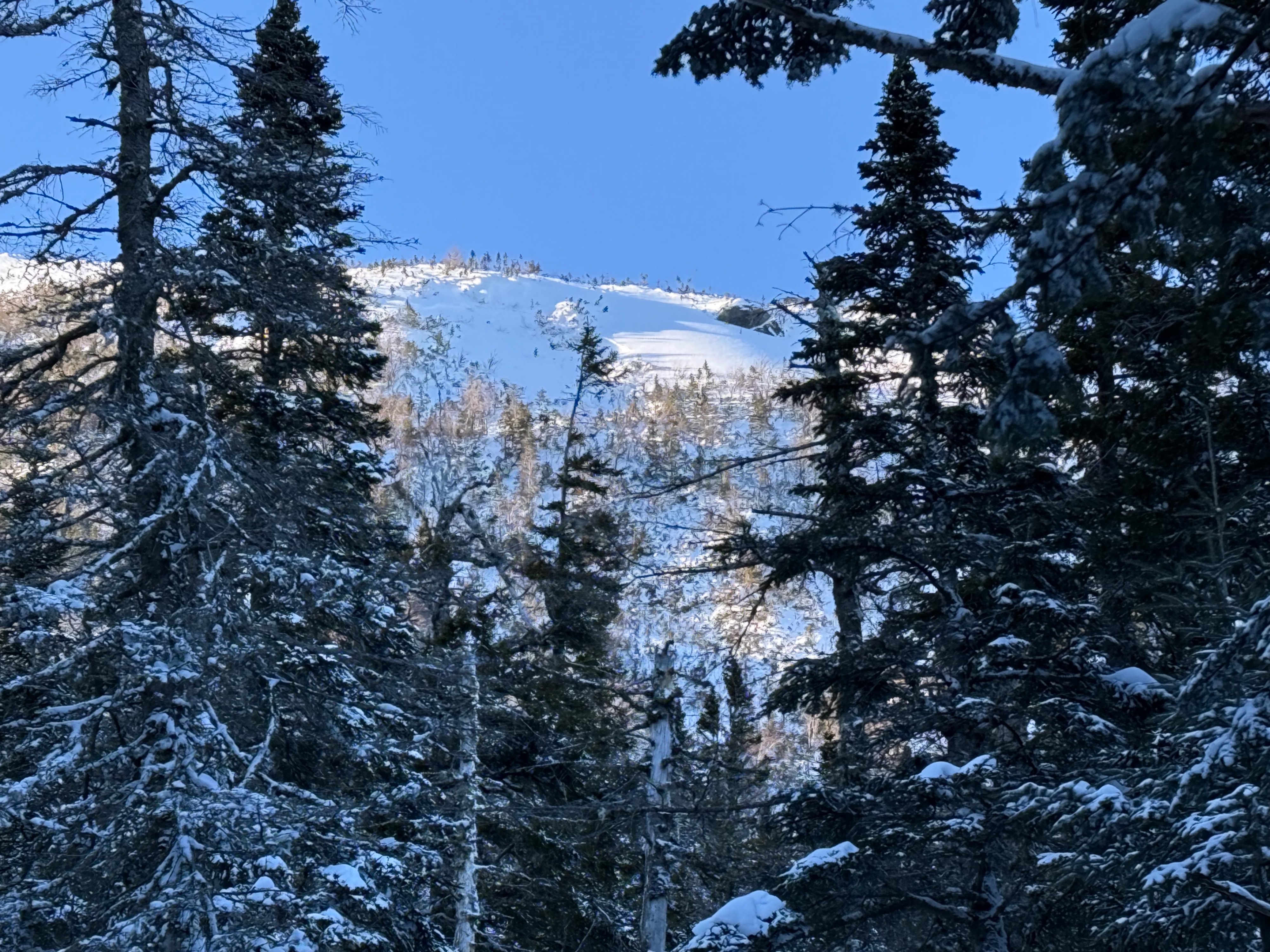
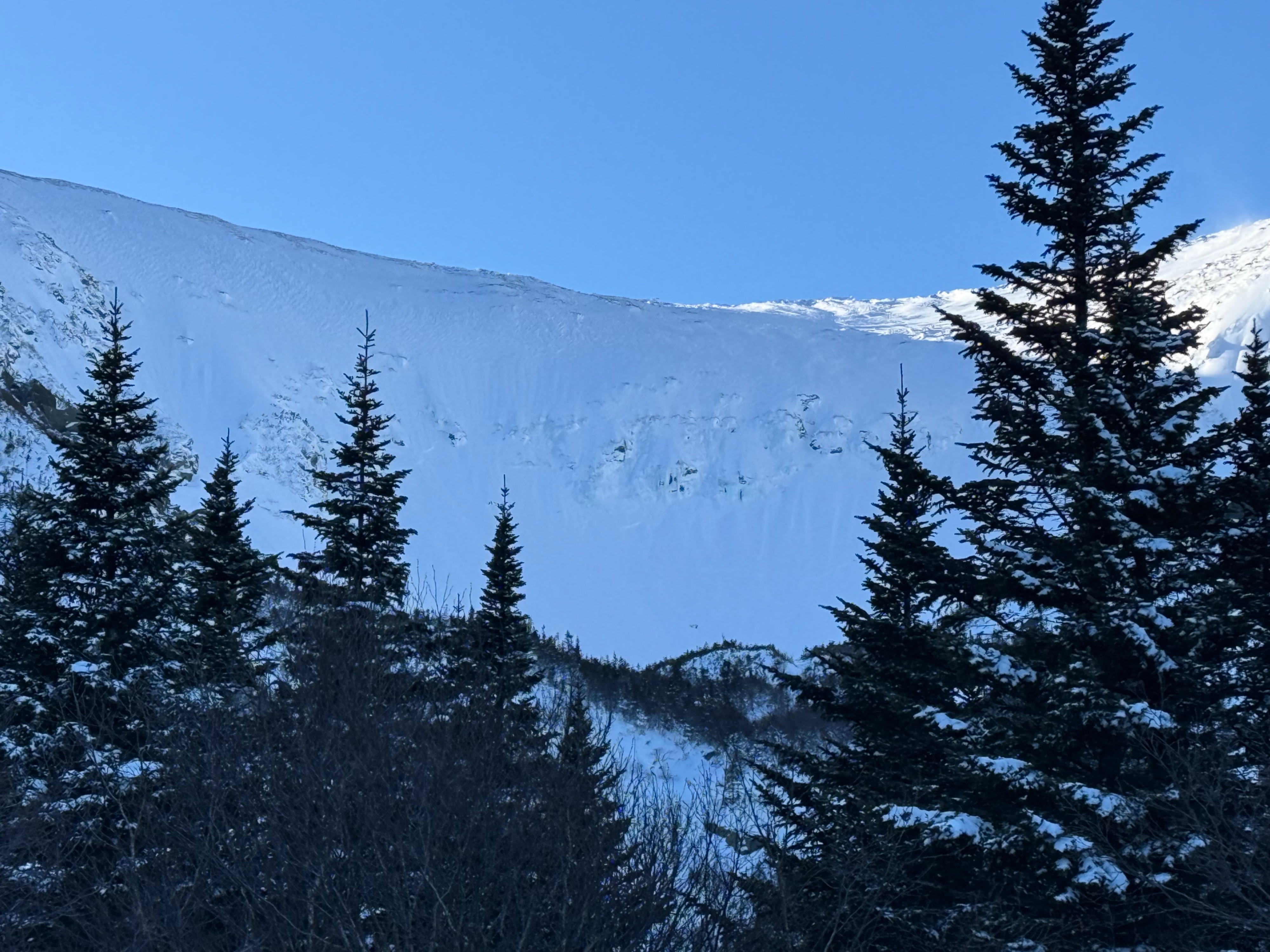
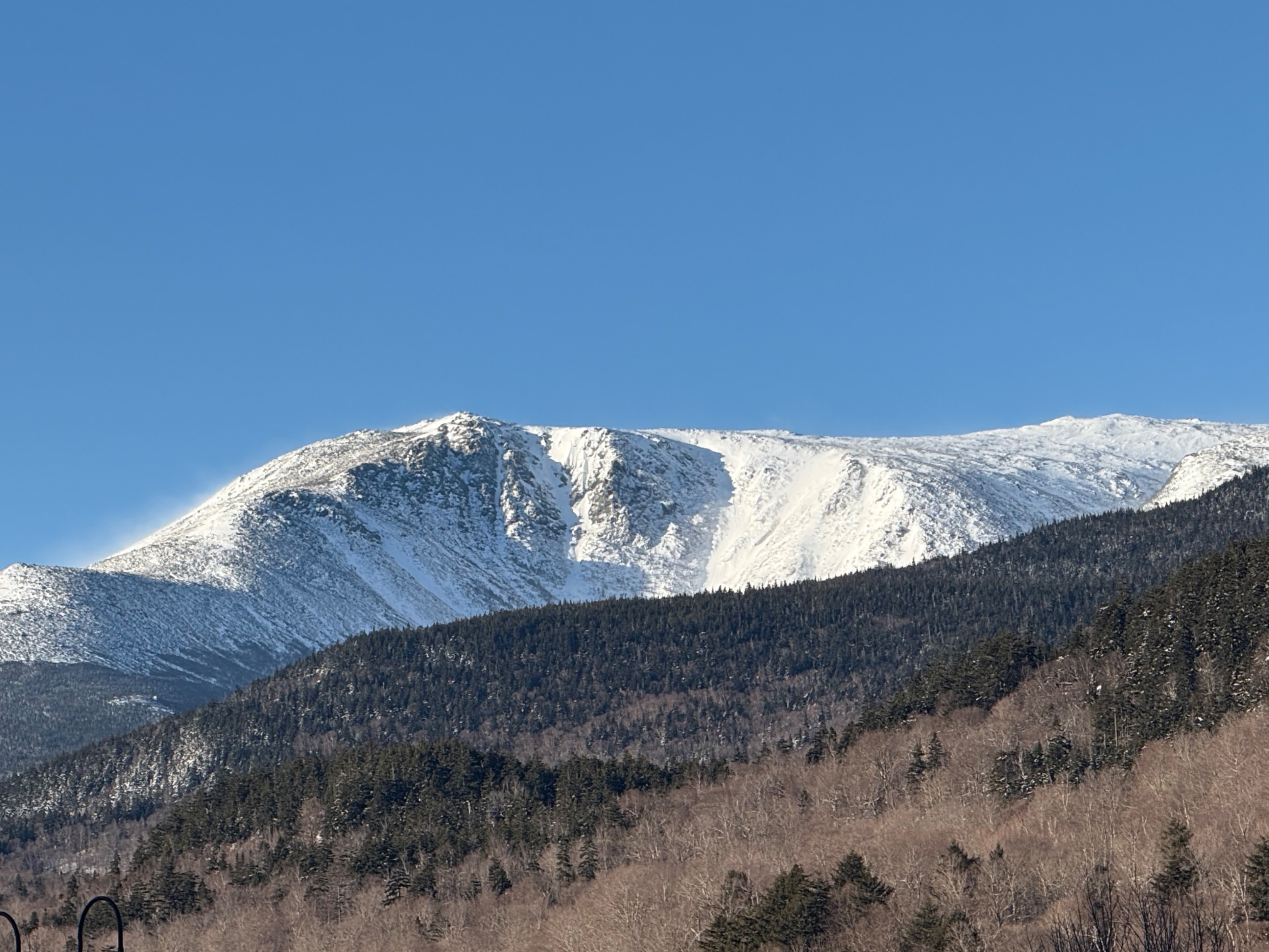
After seeing a large crown line visible from the road, we changed plans to go to Gulf of Slides as we suspected that this stepped down on to the persistent grains that we have been finding in various south and east aspects and it looked like there were multiple crowns visible from the road.
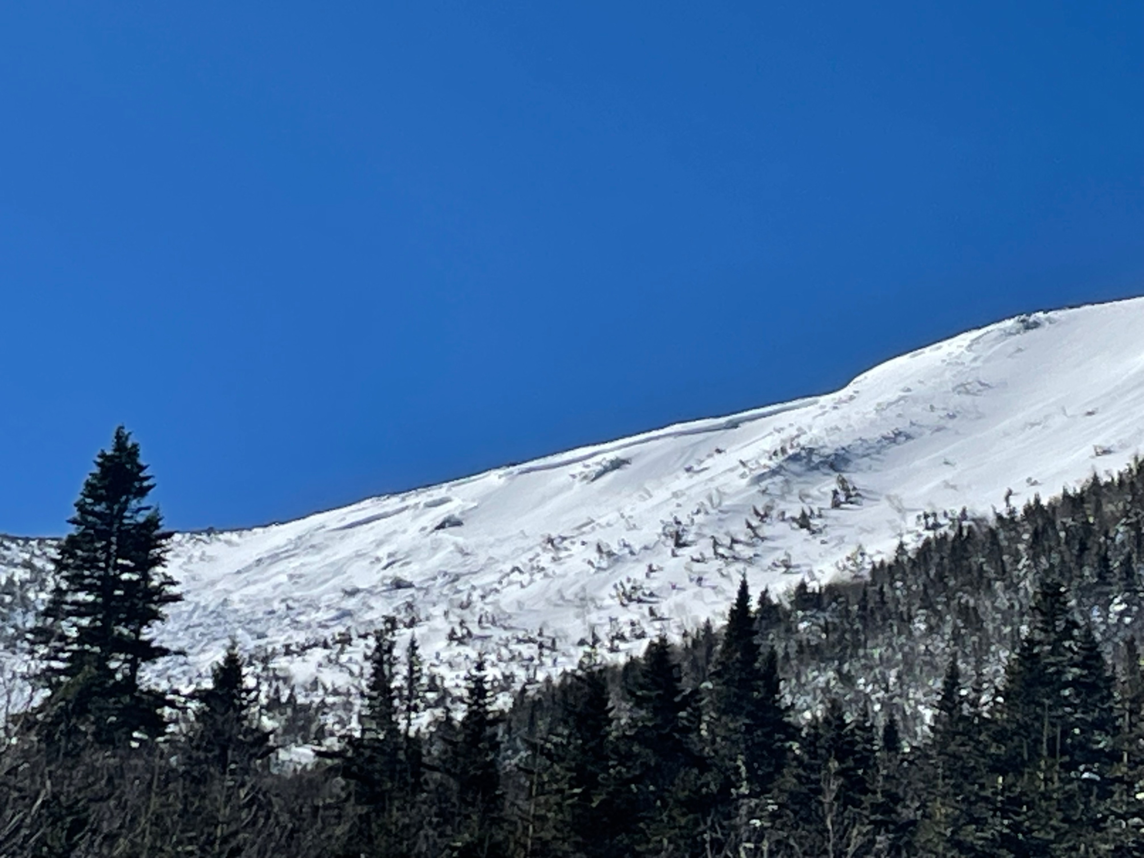
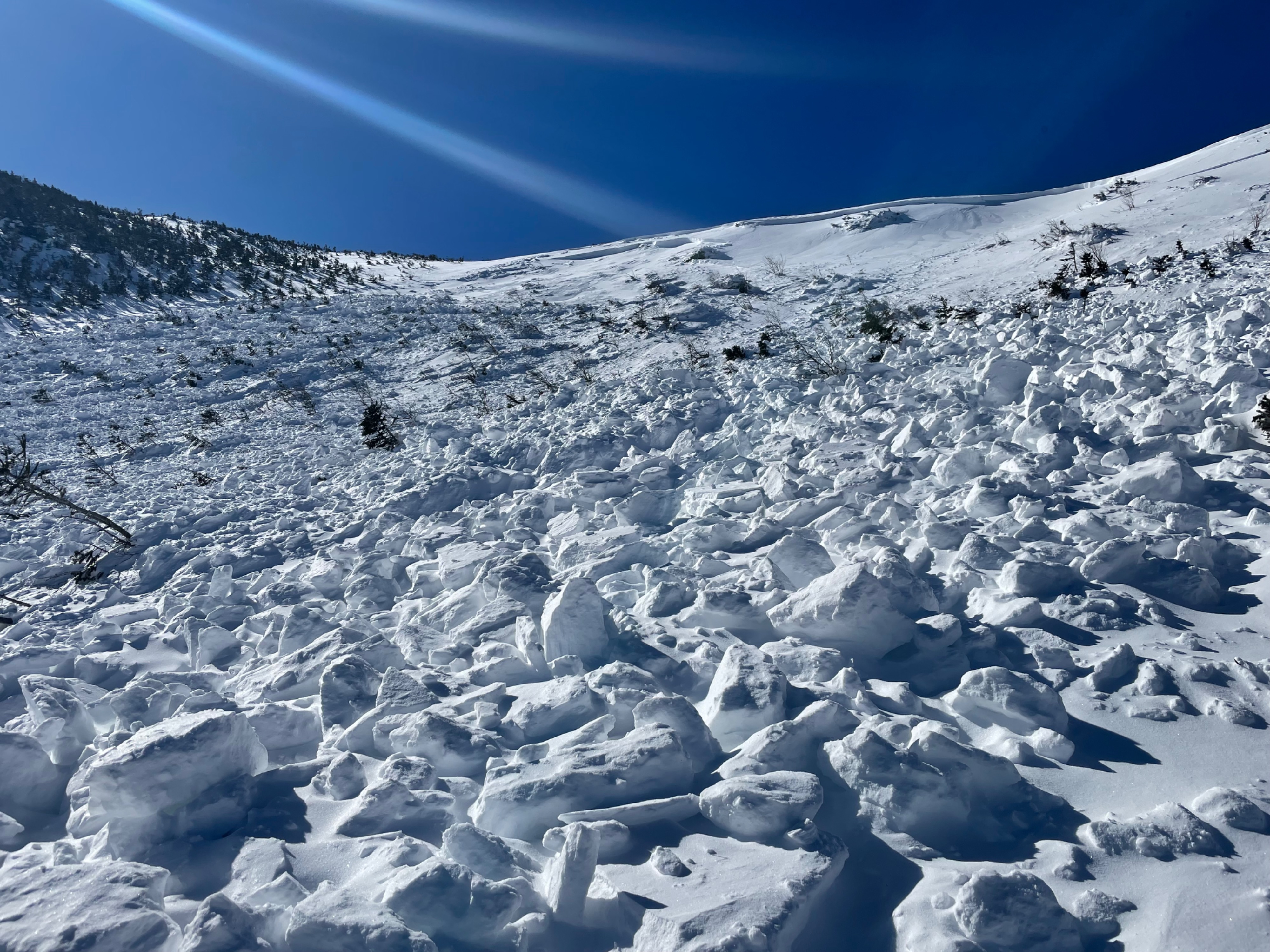
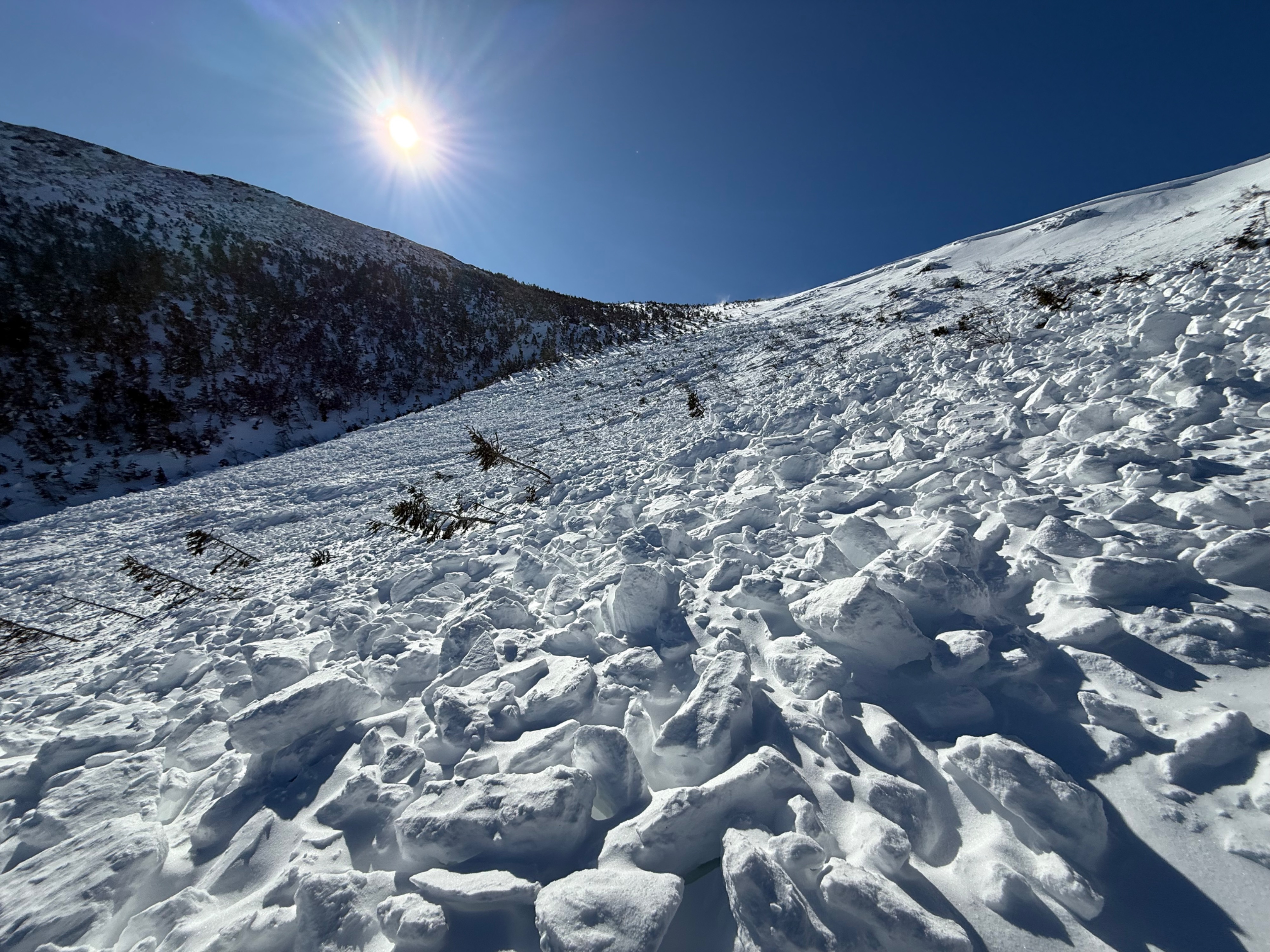
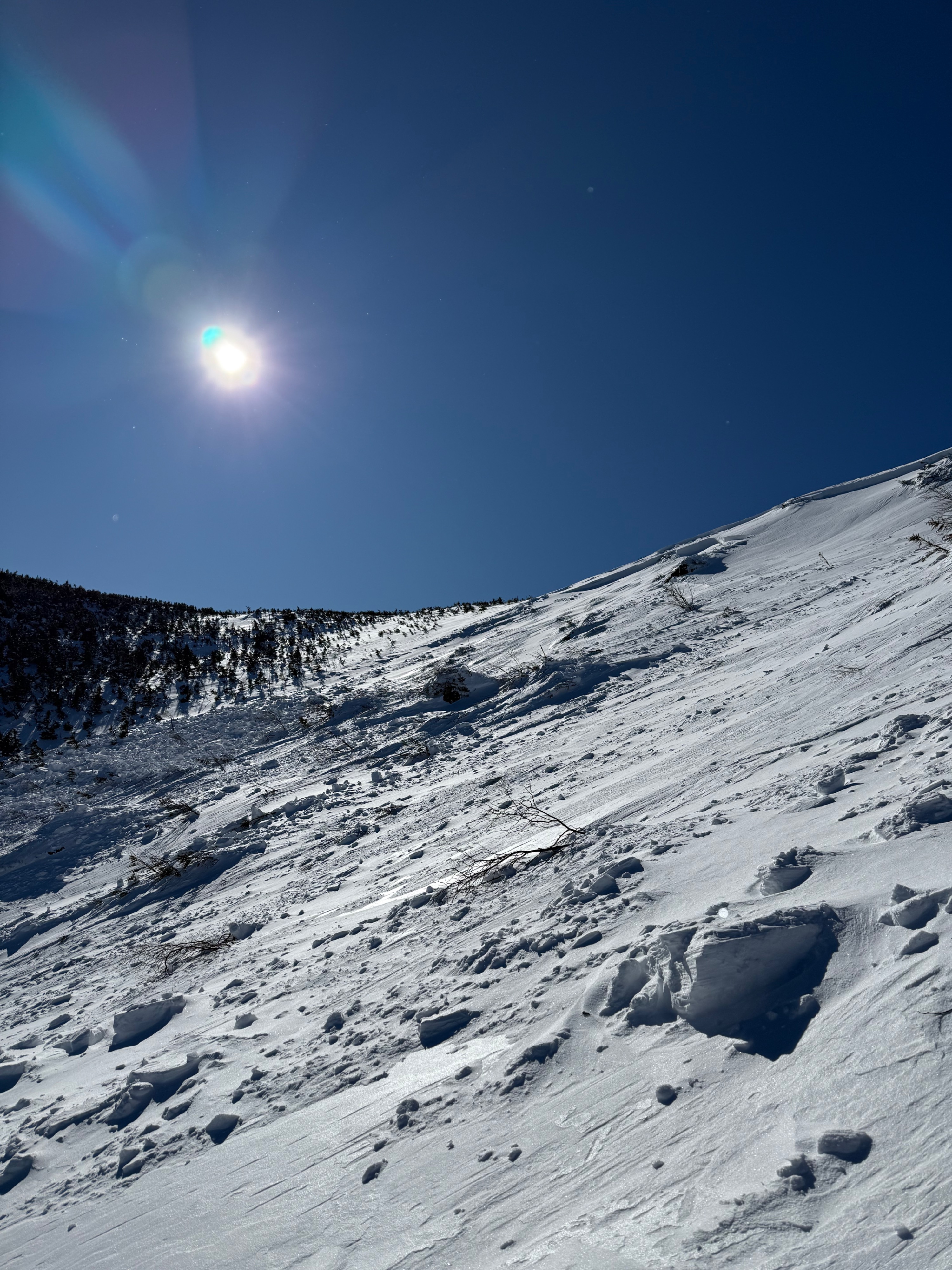
That was exactly what we found! Significant debris that pictures can only do so much justice. While areas in this path stepped down, it did not collectively step down everywhere.
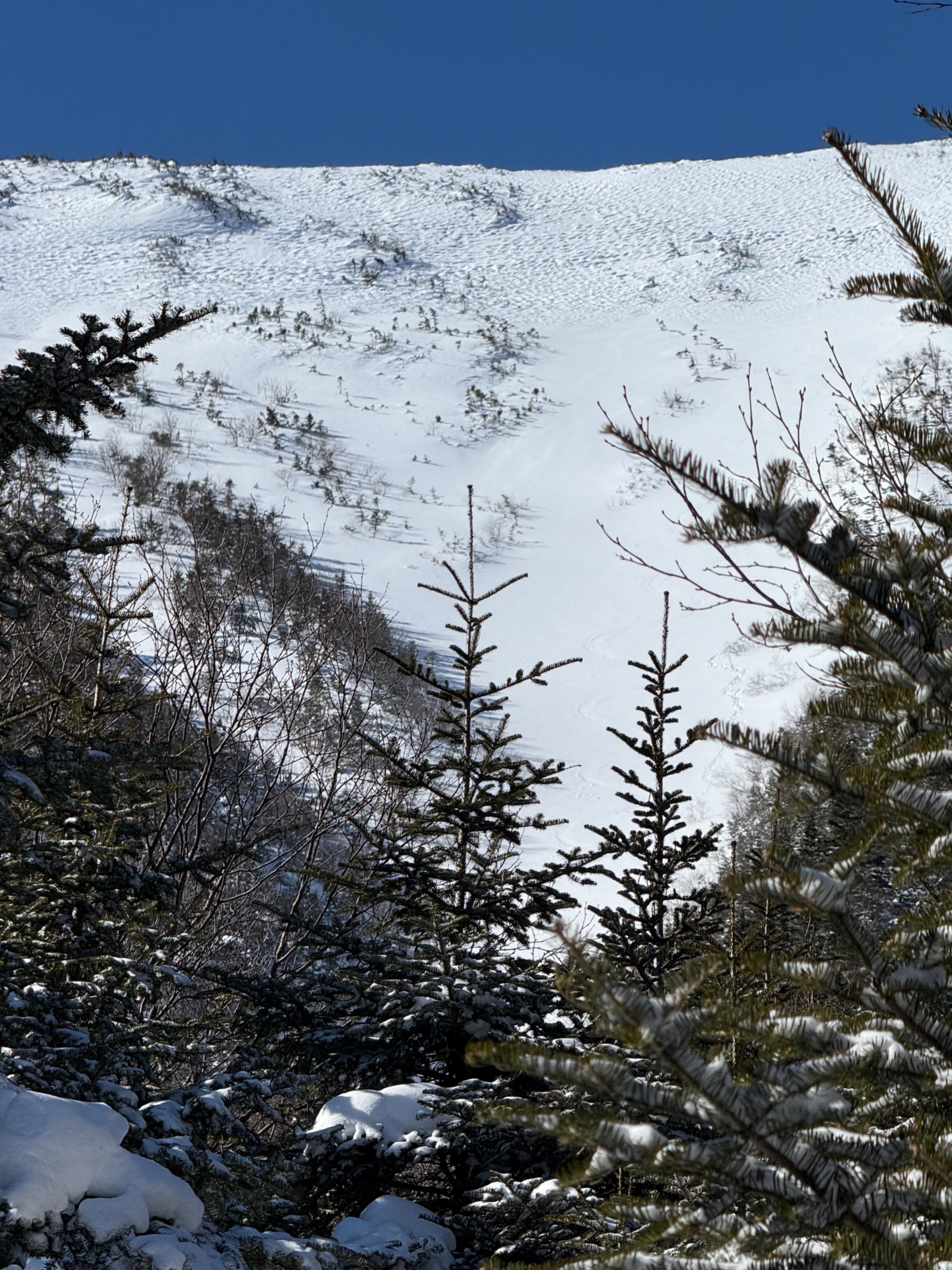
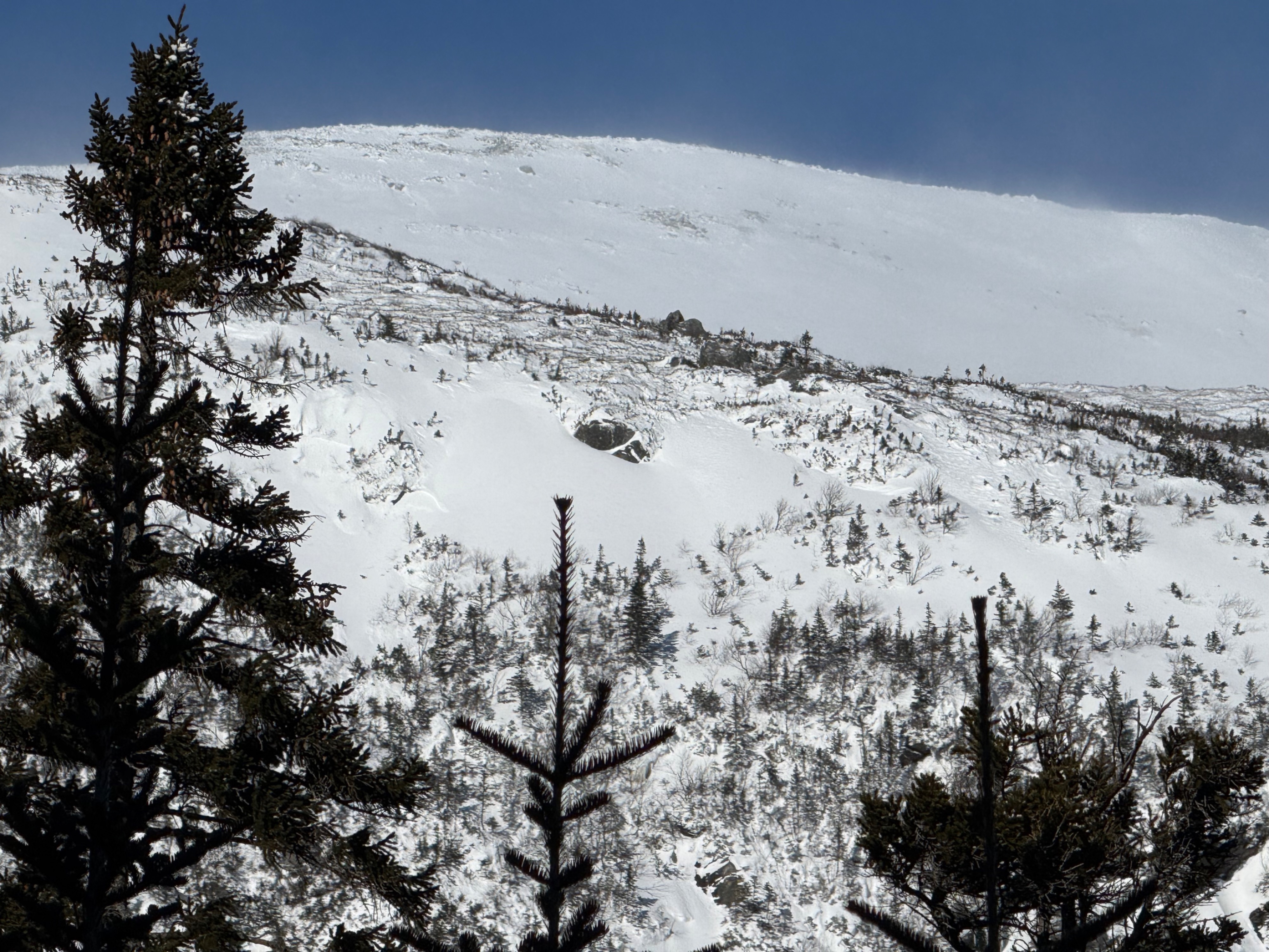
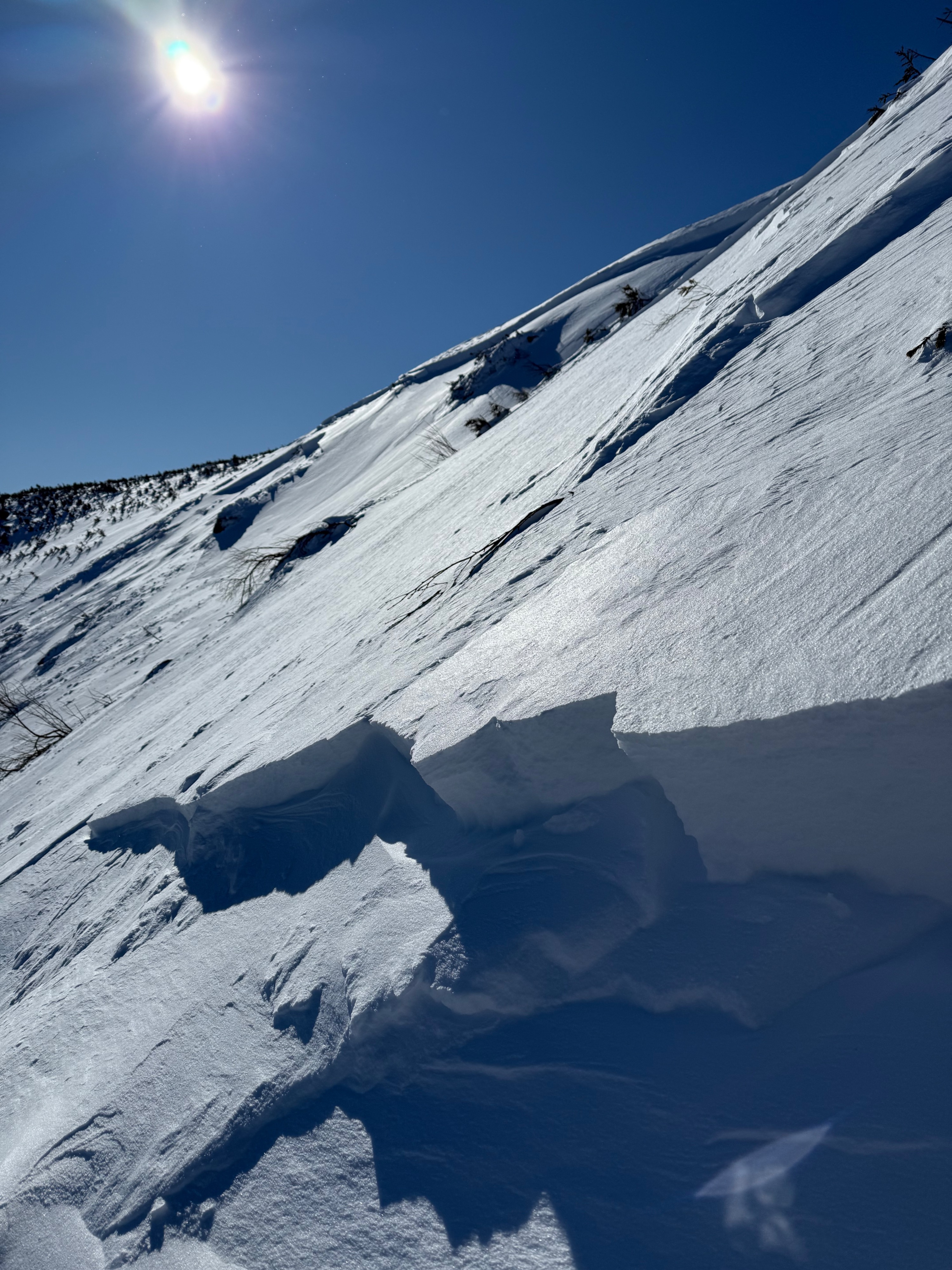
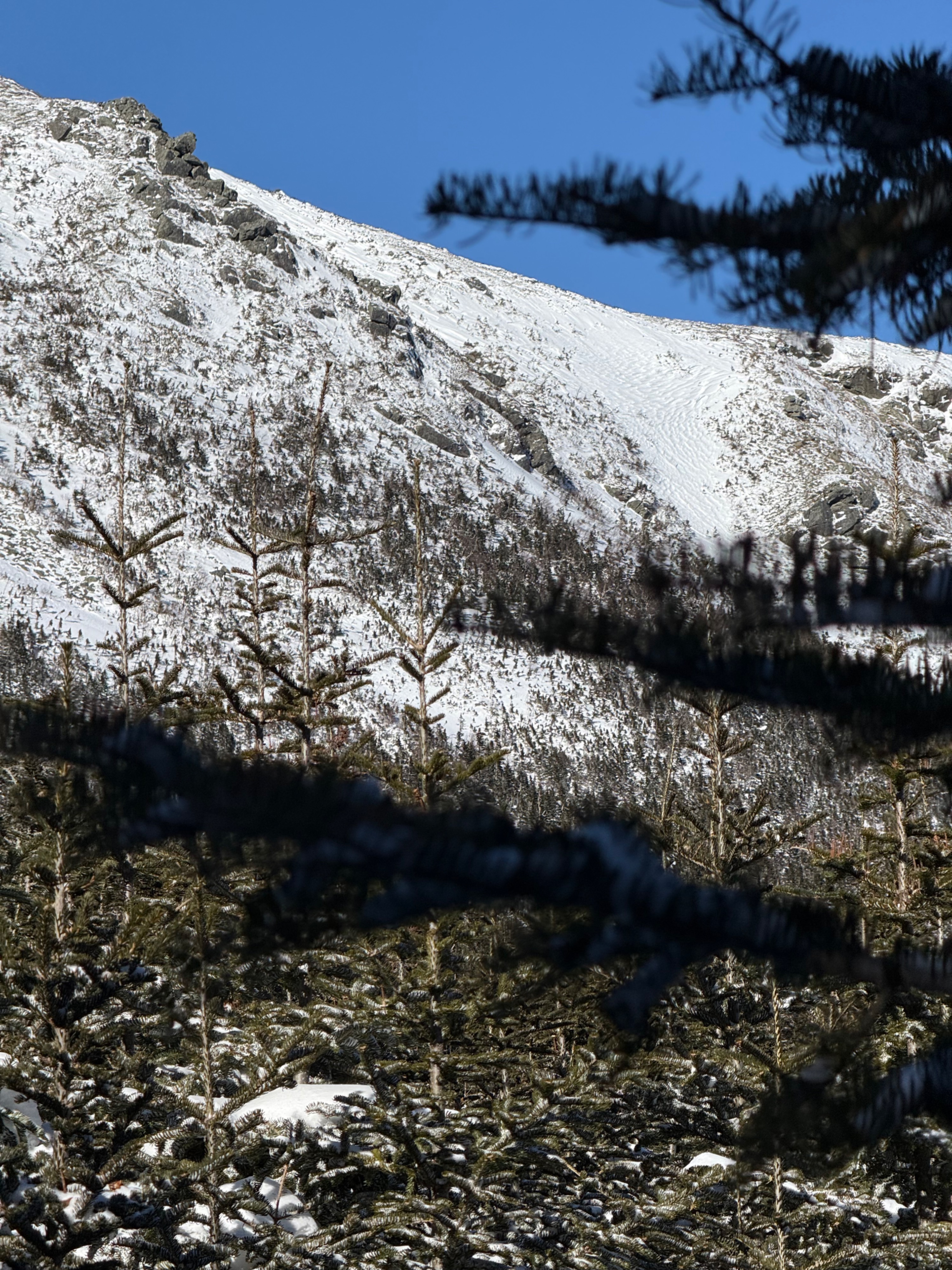
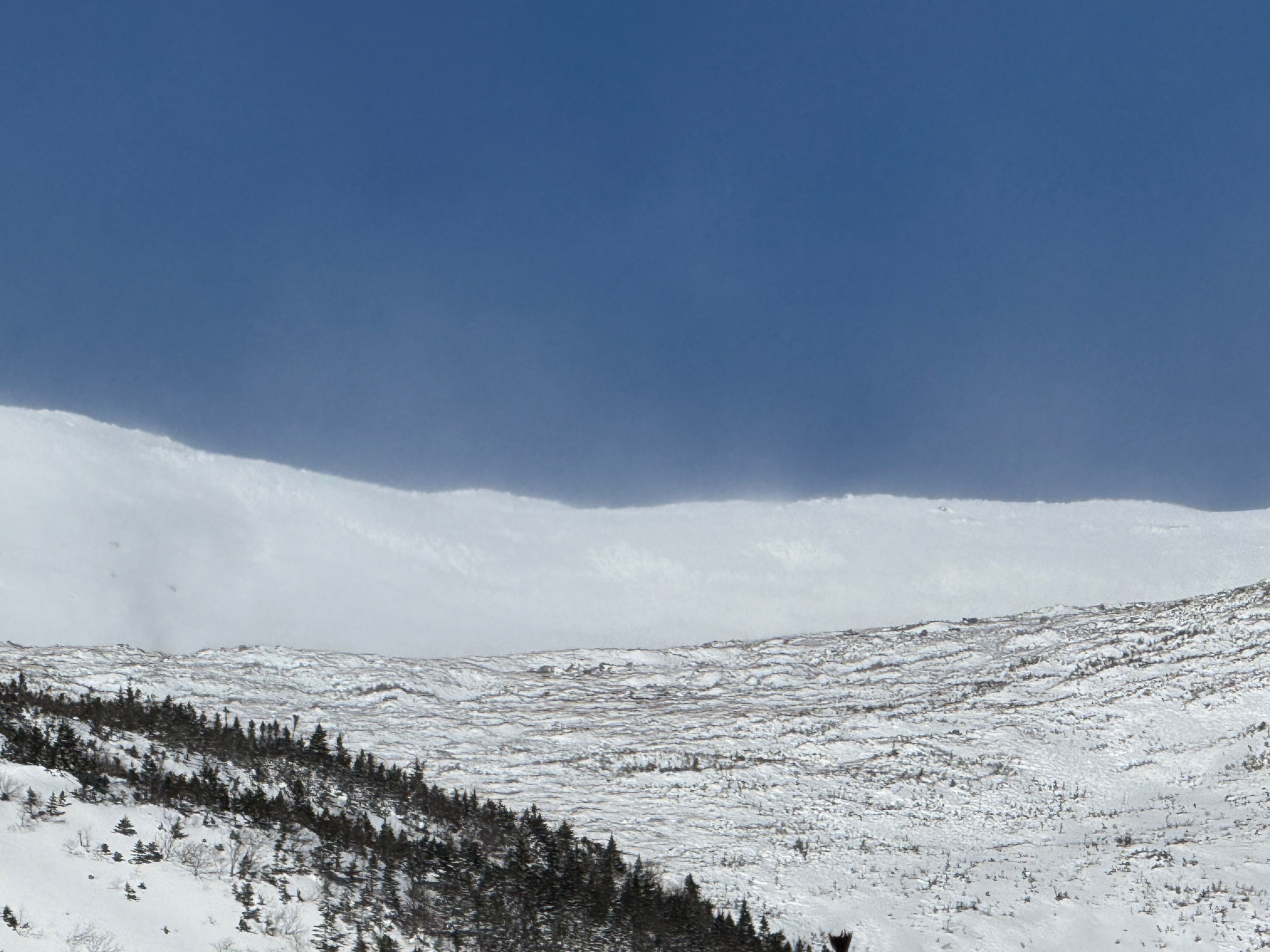
Some of the terrain in start zones in middle elevations had a lot of wind texture, as did upper elevation terrain.
Areas of sheltered terrain, like below the ice bulge in Main Gully in Gulf of Slides and Summer Lion Head Traverse seemed to hold white, smooth, planar, drifted, and rounded snow and are types of areas to continue to assess as we did not travel on similar snow surfaces.
Saw a large crown line in Gulf of Slides Snowfields from the road and it looked like it may have stepped down to a persistent weak layer. We changed our plan for the day to go look at this and found that in fact this very large avalanche had stepped down to the faceted weak layer that was above an ice crust.Weather
- Air Temp
- 2
- Cloud Cover
- clear
- Wind Loading
- light
- Recent Snowfall
- 14 CM Hermit Lake
cold and clear, with great visibility . Did not see much snow moving/loading but in the morning saw snow loading into Hillman's Highway (~9:30 AM) and later in the afternoon (~3:00 PM) saw snow moving into Dodge's Drop
Snowpack
After seeing a large crown line visible from the road, we changed plans to go to Gulf of Slides as we suspected that this stepped down to the persistent grains that we have been finding in various south and east aspects and it looked like there were multiple crowns visible from the road.
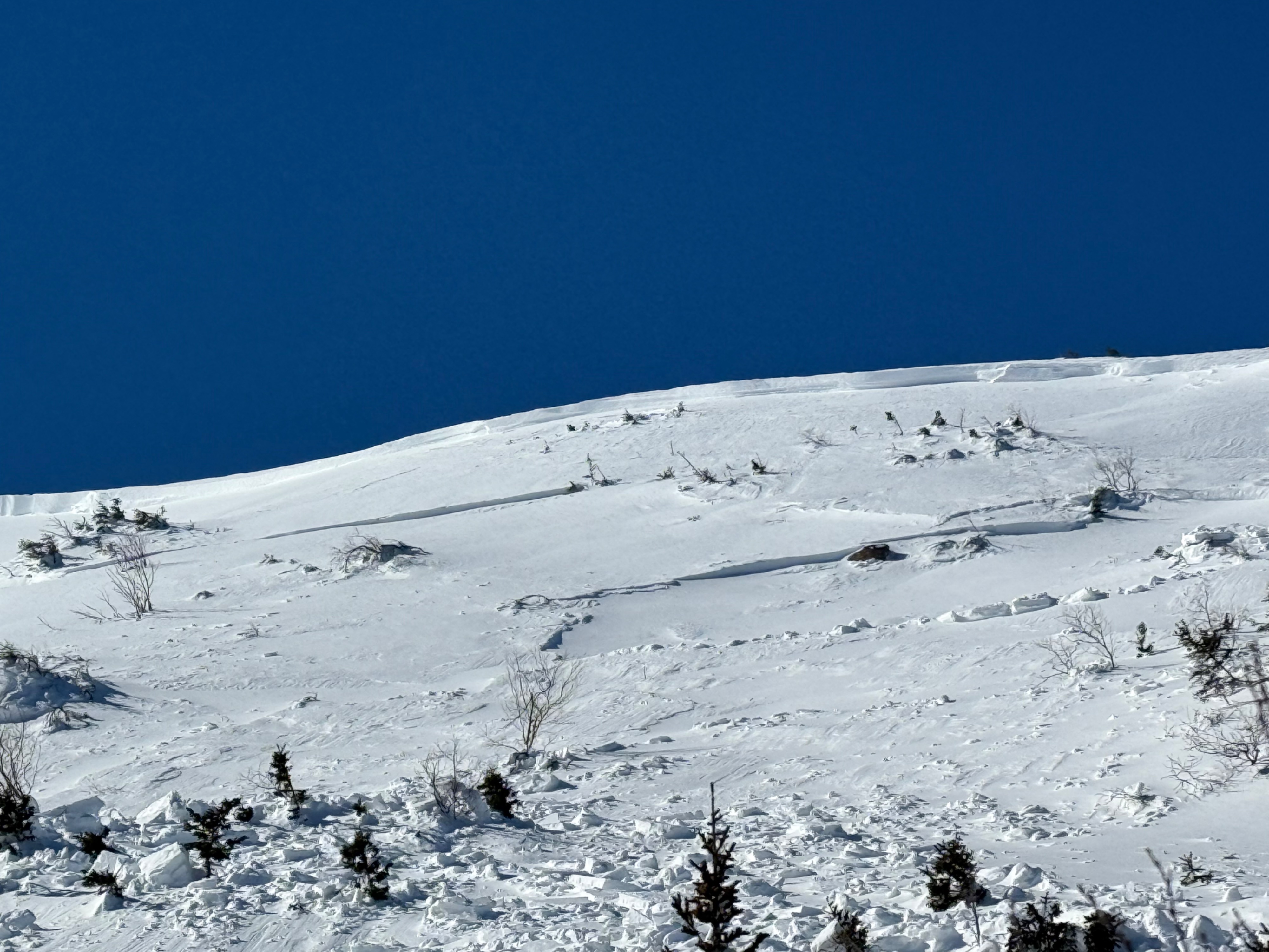
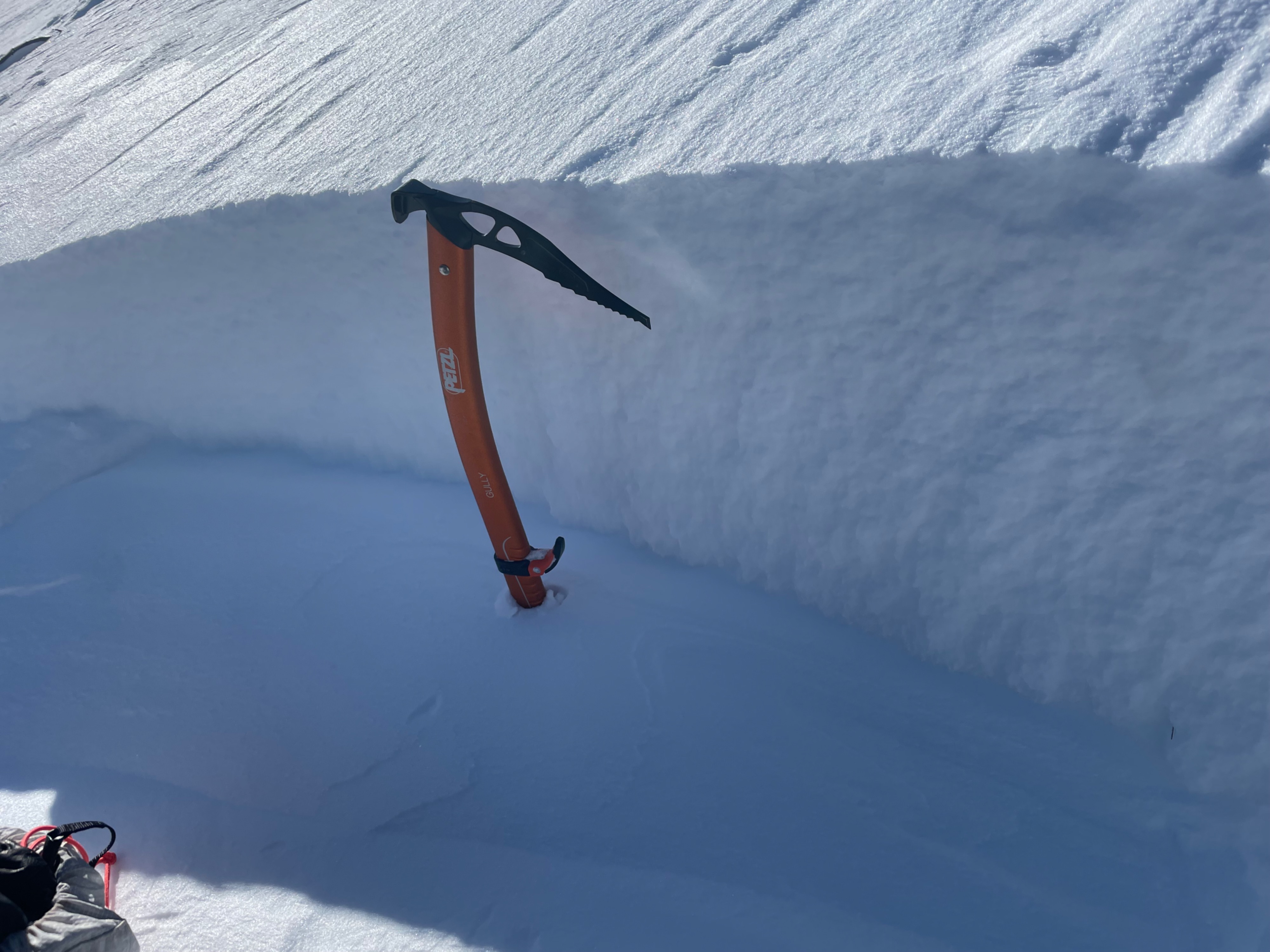
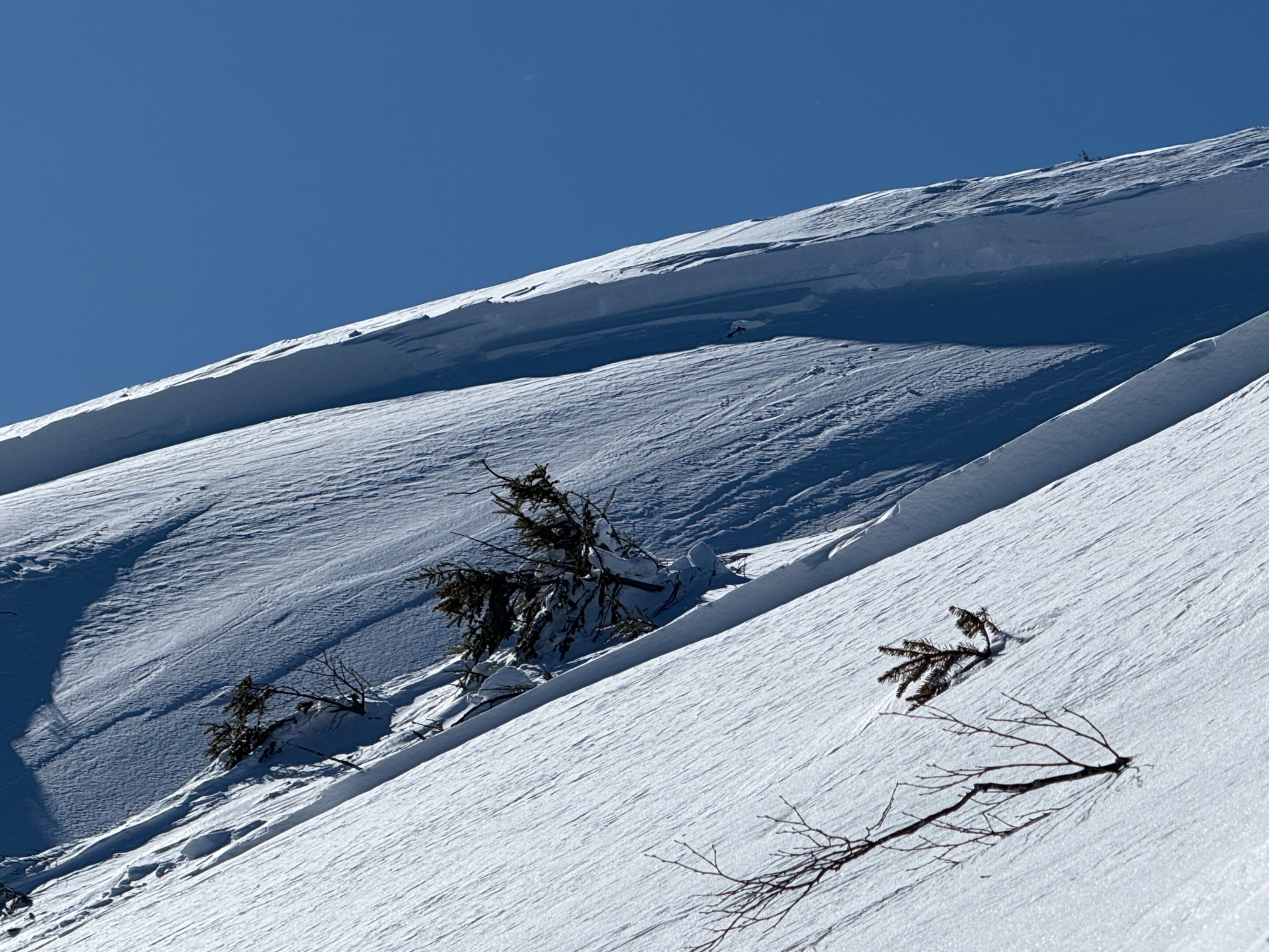
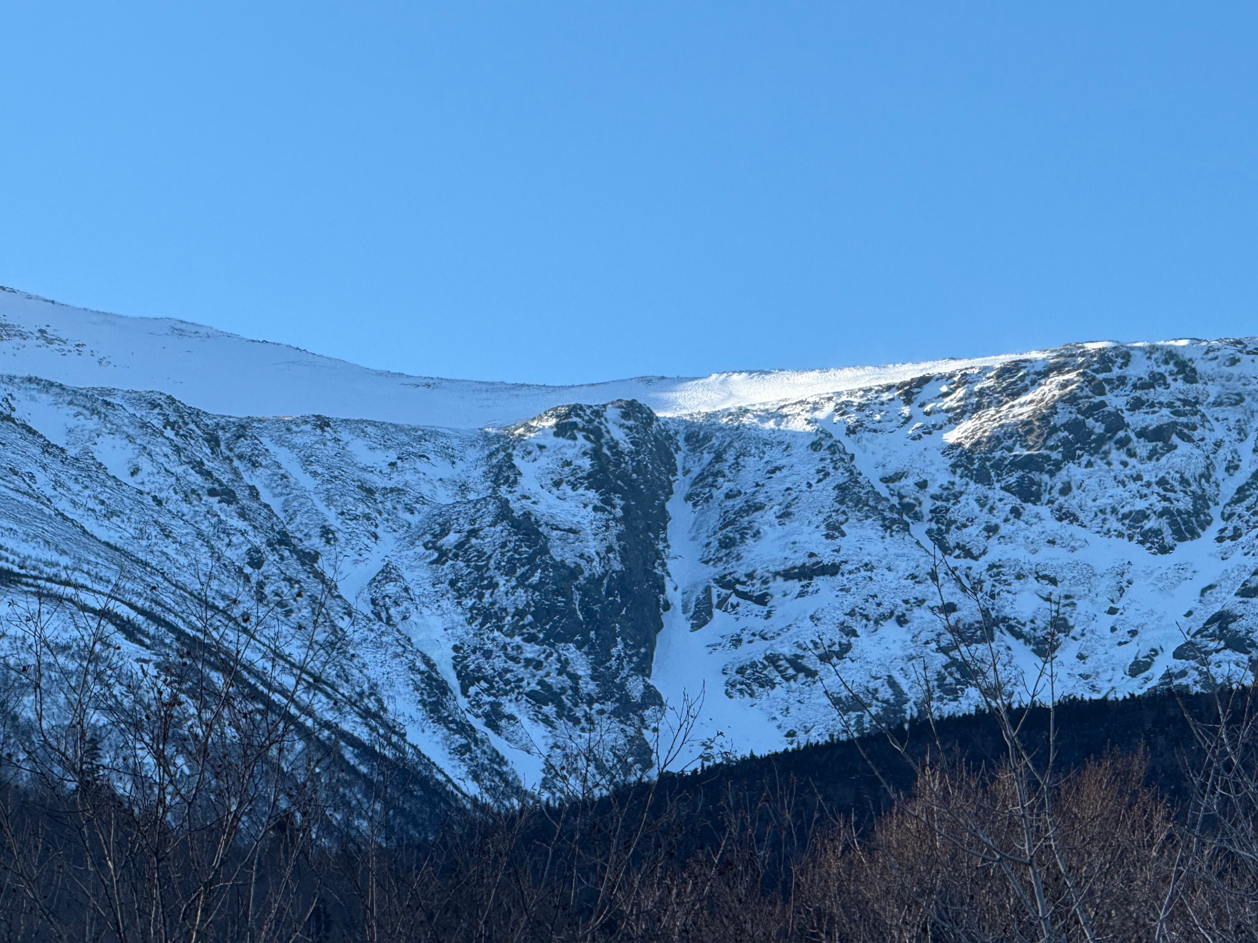
As we got closer to Gulf of Slides we could easily see that this has stepped down in multiple places as we saw a large crown high across the startzone and numerous smaller crowns within its path.
Looking at one of the crowns, we found that the bed surface was the old ice crust with a layer of small faceted grains above it which was the weak layer.
The lower crowns were smaller (the size of an ice axe) while the upper crown line that spanned much of the start zone and looked to be over a meter in height.
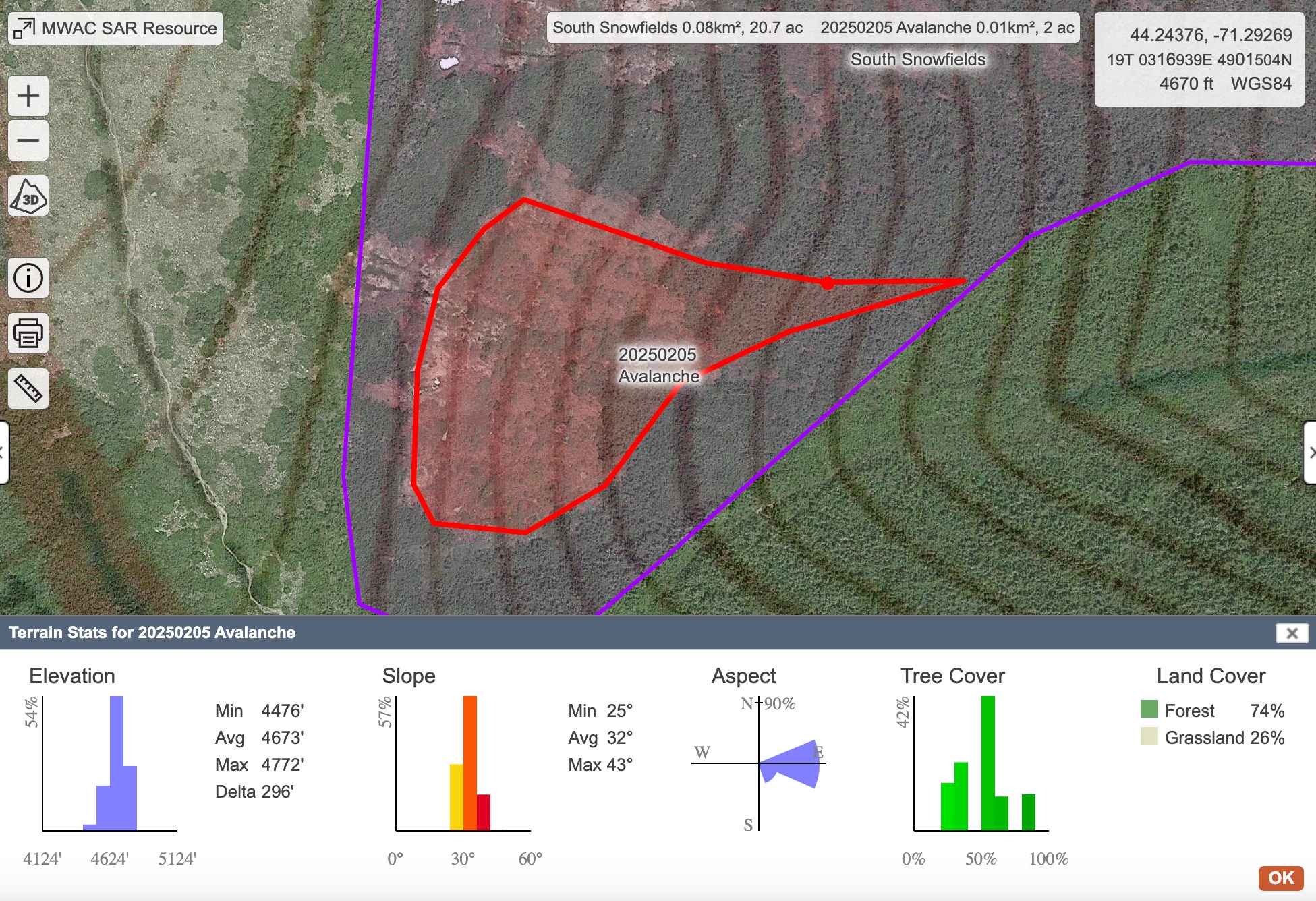
Because the Snowfields can fully connect, we went with R3 as it is relative to its path and entails both the horizontal extent of the fracture as well as the verticle relief of the path. If we were just assessing the vertical plane, this easily would have been R4 (large and near or at full path) as the avalanche ran near to its full path. But since the Snowfields can fully connect, we factored this in with a R3 (medium) as it the terrain's relative path is quite a bit larger. Forecasters in the field were confident with sizing this as a D3 avalanche.
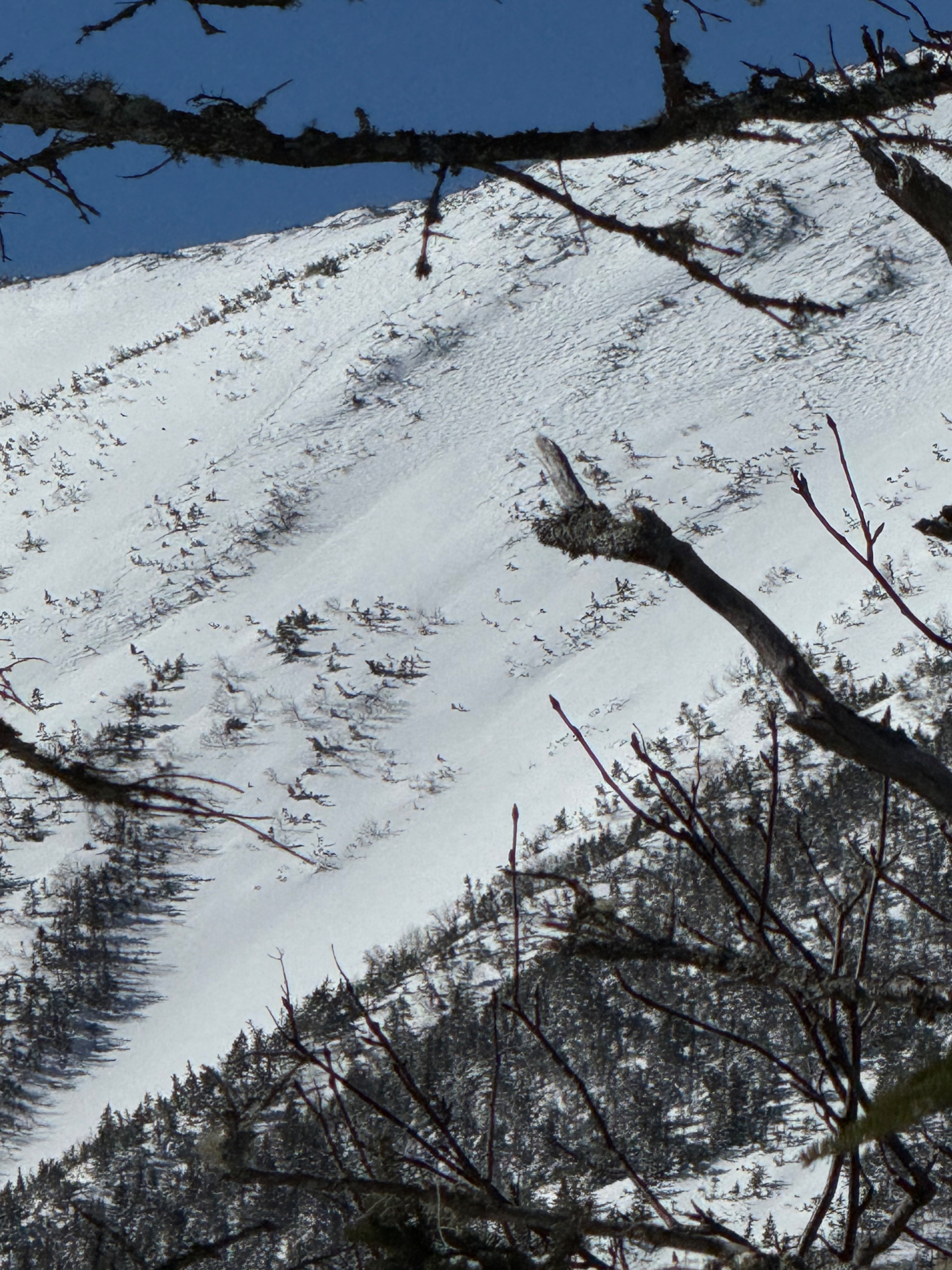
This large slab stressed weak layers below with the initiation of the fracture and the stress caused the slabs to step down in pocketed areas, as seen from pictures.
We did not assess areas with a visible avalanche problem as we spent the day looking into understanding this very large avalanche. There were numerous areas were we visually identified wind slab characteristics like smooth, rounded, pillowy snow. In Main Gully below the ice bulge noticed smooth snow with no visible wind texture (see pictures included). In talking with a skier, found that boot penetration was above the knee in that area. Above the ice bulge snow was wind-textured and found to be firm and chalky. We noticed areas of wind-textured snow in some start zones and in the upper elevation band. While we did not move through this snow directly, we felt confident that the wind slab may be more like wind board and unreactive after hours of high to extreme winds. Other areas that housed pillowy, rounded snow that we discussed was Summer Lion Head (see pictures ) this looked even more loaded than it was even in the last few days and had a clearly defined convex shape (from afar). The combination of steep, unsupported, and sheltered terrain above cliffs and trees makes even a small avalanche in that terrain highly consequential. The looker's left side had a small crown visible as well.
Avalanche
- Size
- D3 R3
- Type
- HS
- Count
- 2
- Aspect
- E
- Trigger
- N
- Elevation
- 4900 ft
Additionally saw a faint crown line below Center Headwall in Tuckerman Ravine (E) and speculated that this had to be new because of the amount of snow. Seeing it from afar without debris for reference is challenging to size it as the crown appeared small, though it is most likely that it had reloaded and filled back in. Also thought I saw a faint crown in Hillman's which was later confirmed by another professional as a D2.5 (thank you!!)