
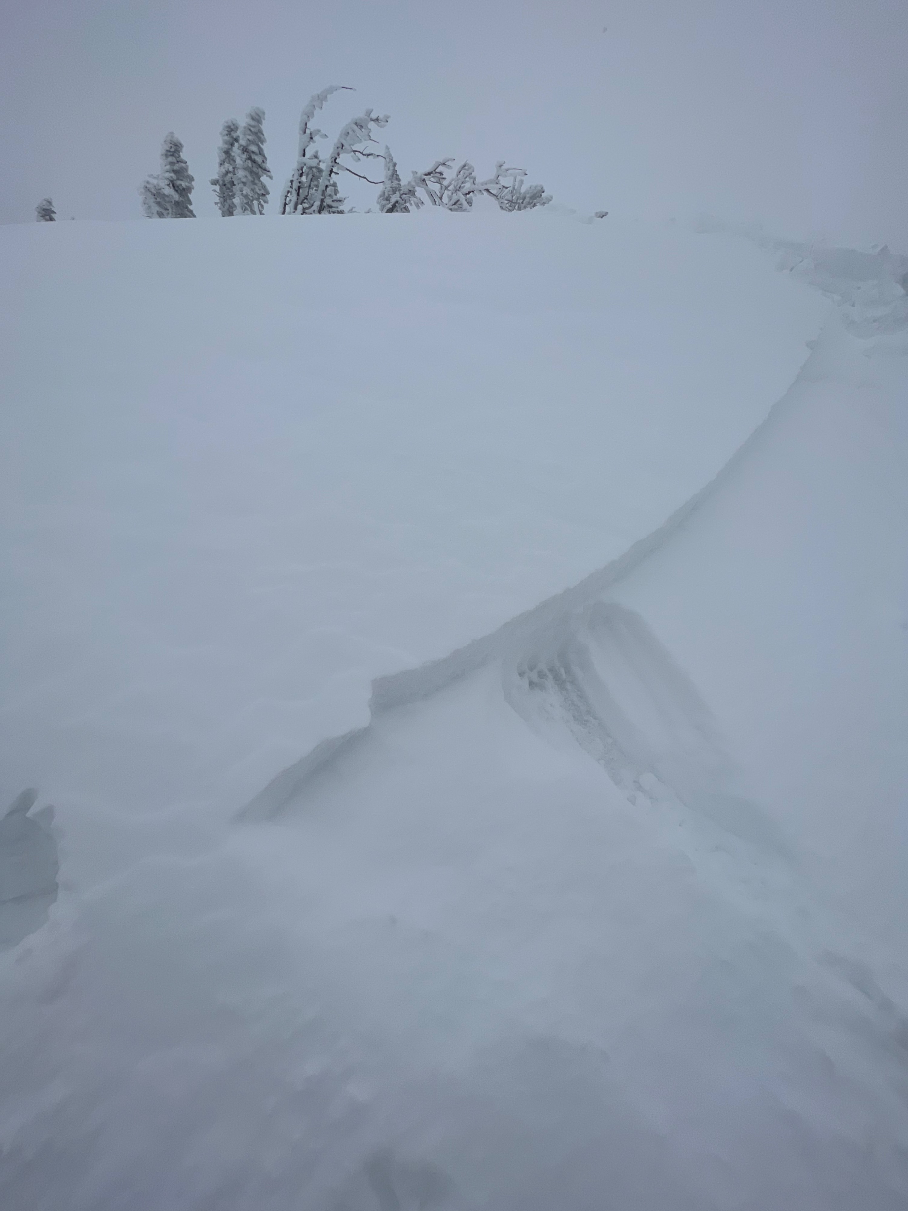
Quick report
- Cracking
- specific
Mayuary continues! Got out in the late afternoon. New snowfall amounts varied based on wind transport. Wind drifts were reactive to triggering on hardness changes 4-6" deep. Wind drifted areas held up to 10" of snow sitting on melt freeze crusts on W-S-E aspects. Active wind transport visible with moderate westerly wind. No significant snowfall accumulation in the afternoon. Scattered cloud cover with intermittent periods of full sun slightly altering snow surfaces, especially SW aspects.
More heavy snowfall forecasted tonight-tomorrow with sustained winds in the 20s and higher overnight slightly tapering off during the day Wednesday. Wind slabs will remain a concern with continued cool temps and cloud cover. Watch for quick changing conditions as mentioned in the General Bulletin (temps and solar).