
Weather
- Air Temp
- 48
- Cloud Cover
- clear
- Wind Loading
- none
- Recent Snowfall
- 0
- Snow Avail For Transport
- none
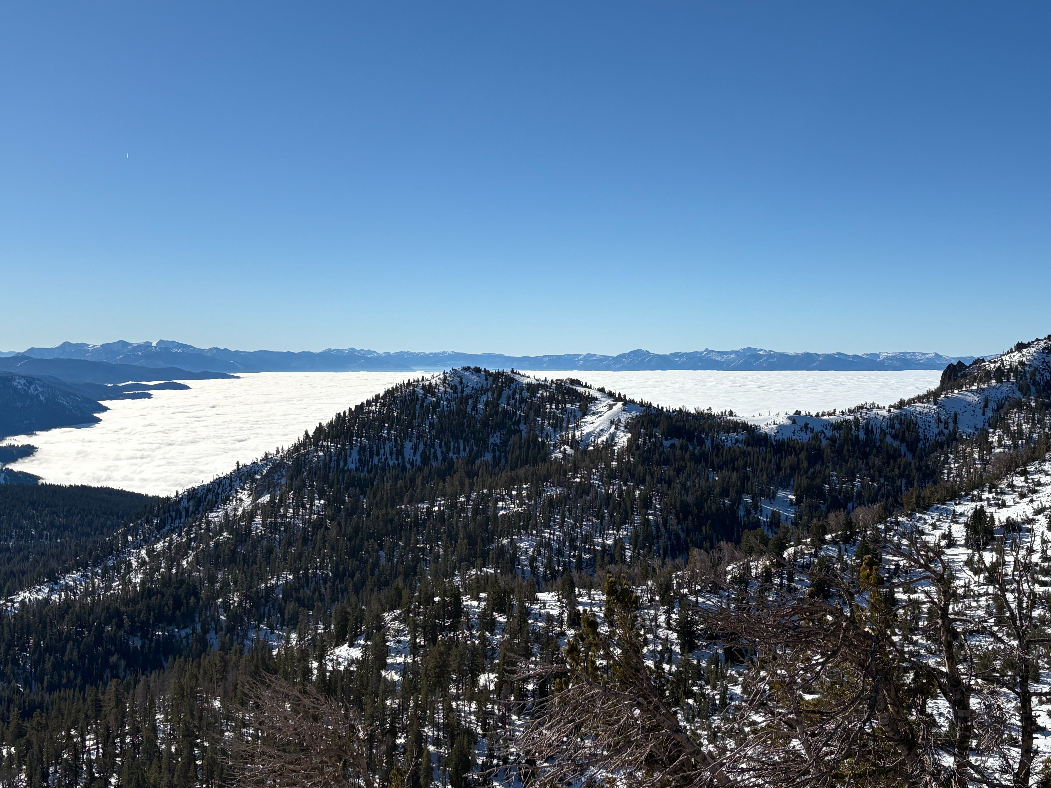
Foggy with temperatures this morning in the low 20's in the town of Truckee clearing by midday. The Lake Tahoe area has had low lying fog and low clouds for multiple days. Temperature inversions continue with sunny skies, well above freezing temperatures, and mostly light winds at upper elevations.
Snowpack
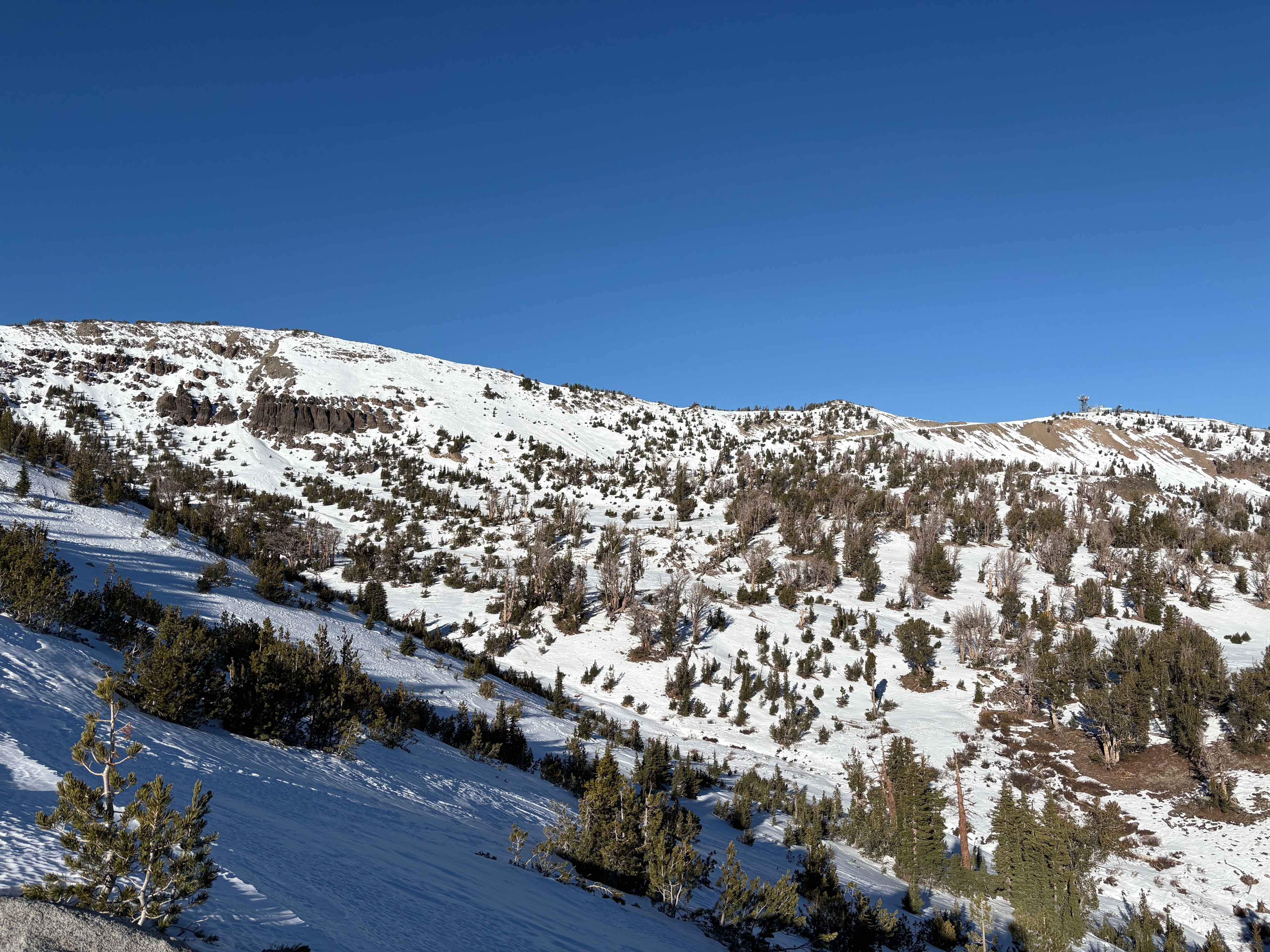
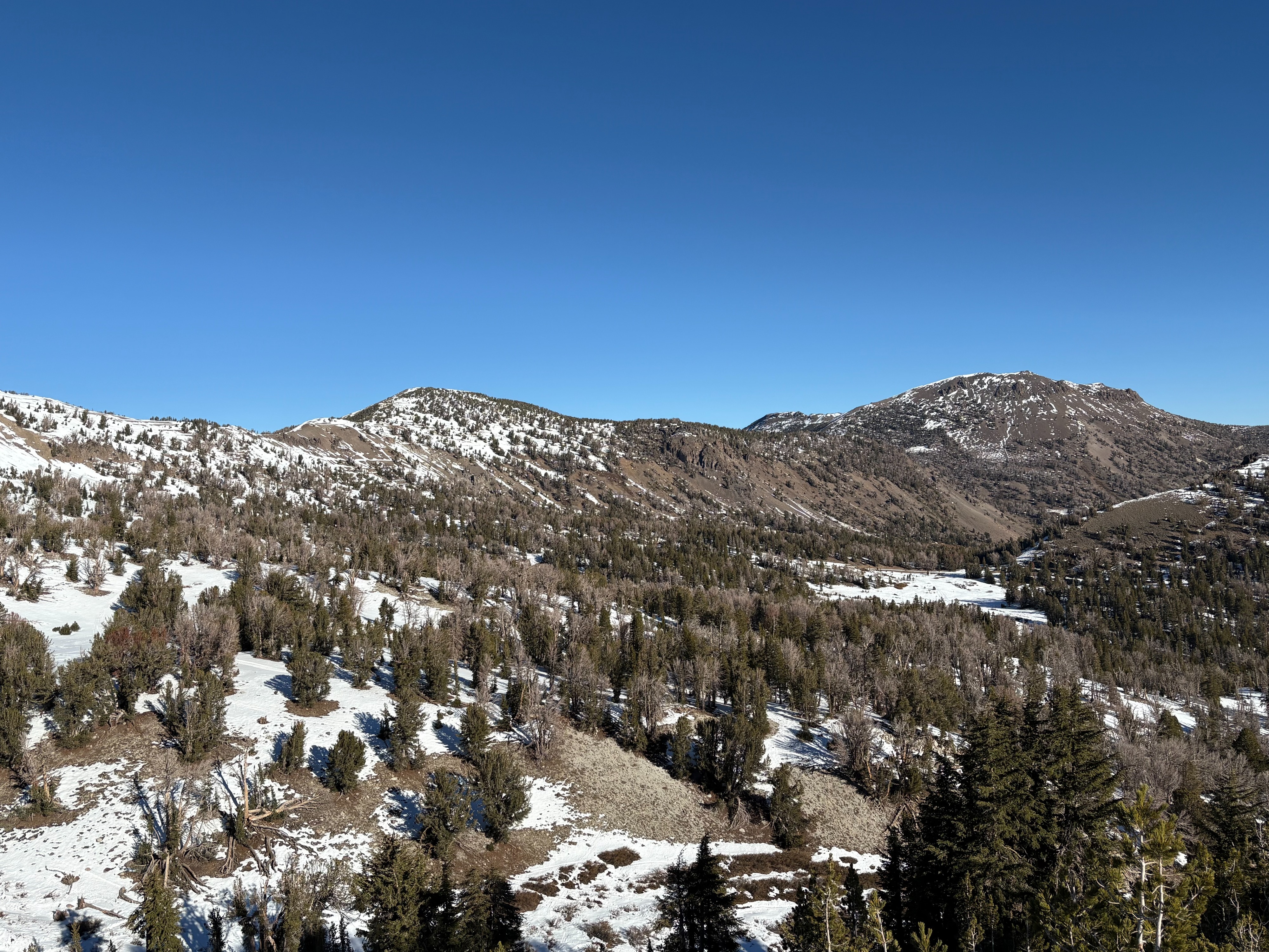
I made observations on Relay Peak in the Mt. Rose area today. My last observation in this area was on Nov. 18 with a snowpack depth of 83cm, compared to today with 56cm. Snow loss has been dramatic in this area over the last 3 week dry spell with more dirt and rock showing on all aspects except North. The snowpack is around 1.5' on northerly aspects above 9000' with weak faceted snow on top of a firm rain crust on the ground. The facets in this area remain dry to moist and more developed than in other areas of the forecast region. This layer of weak snow could become problematic as forecasted storms are expected for next week.