
Quick report
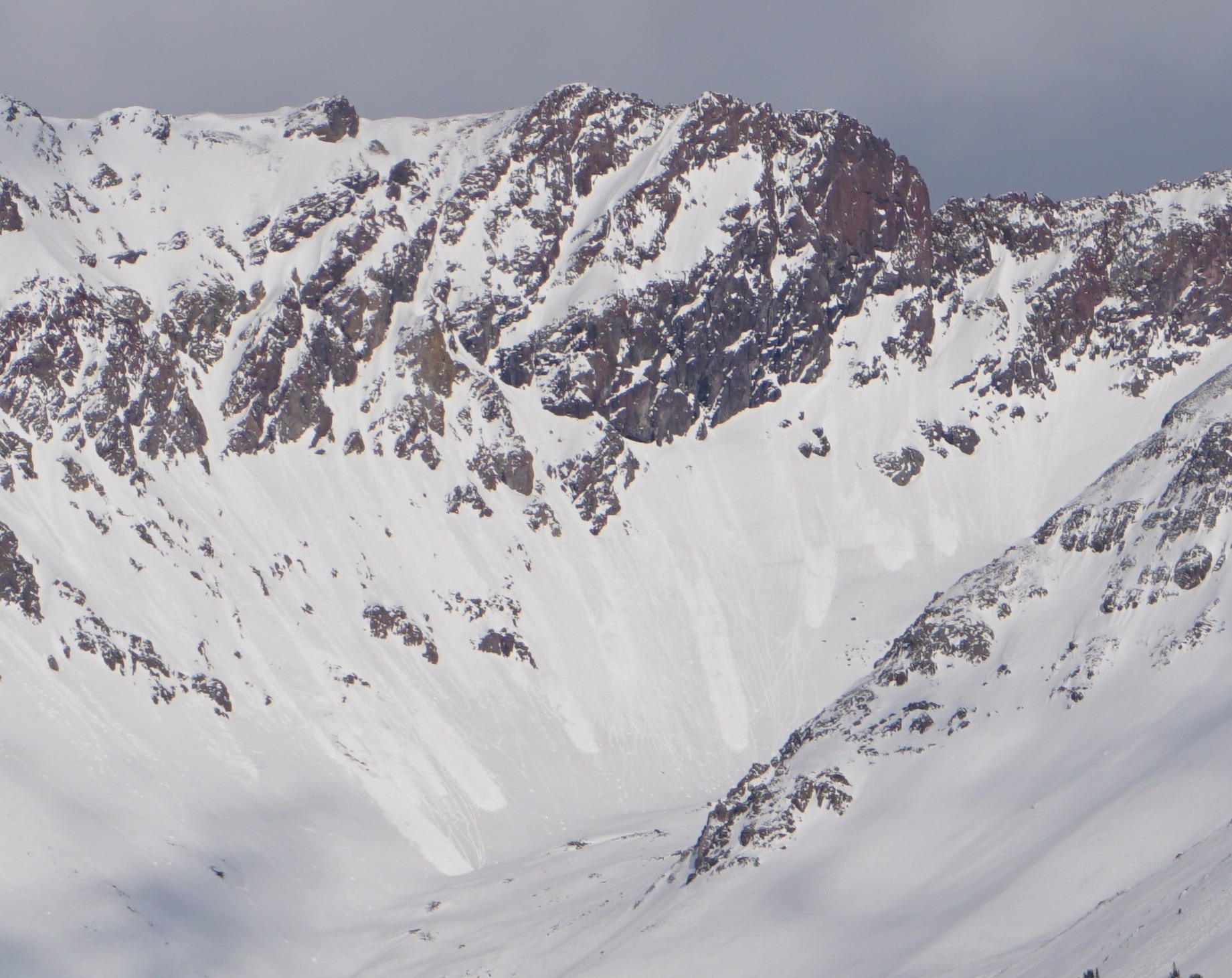
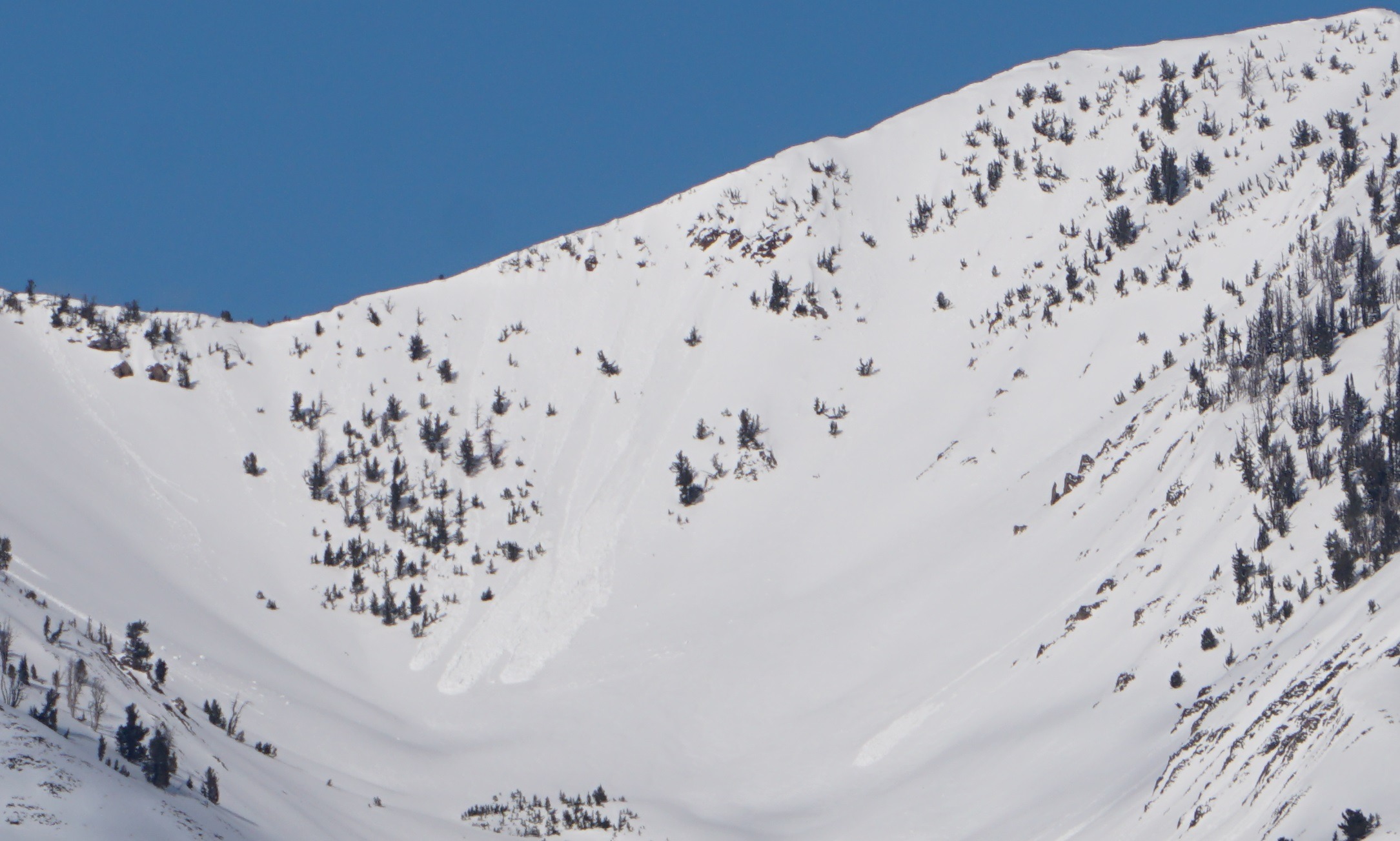
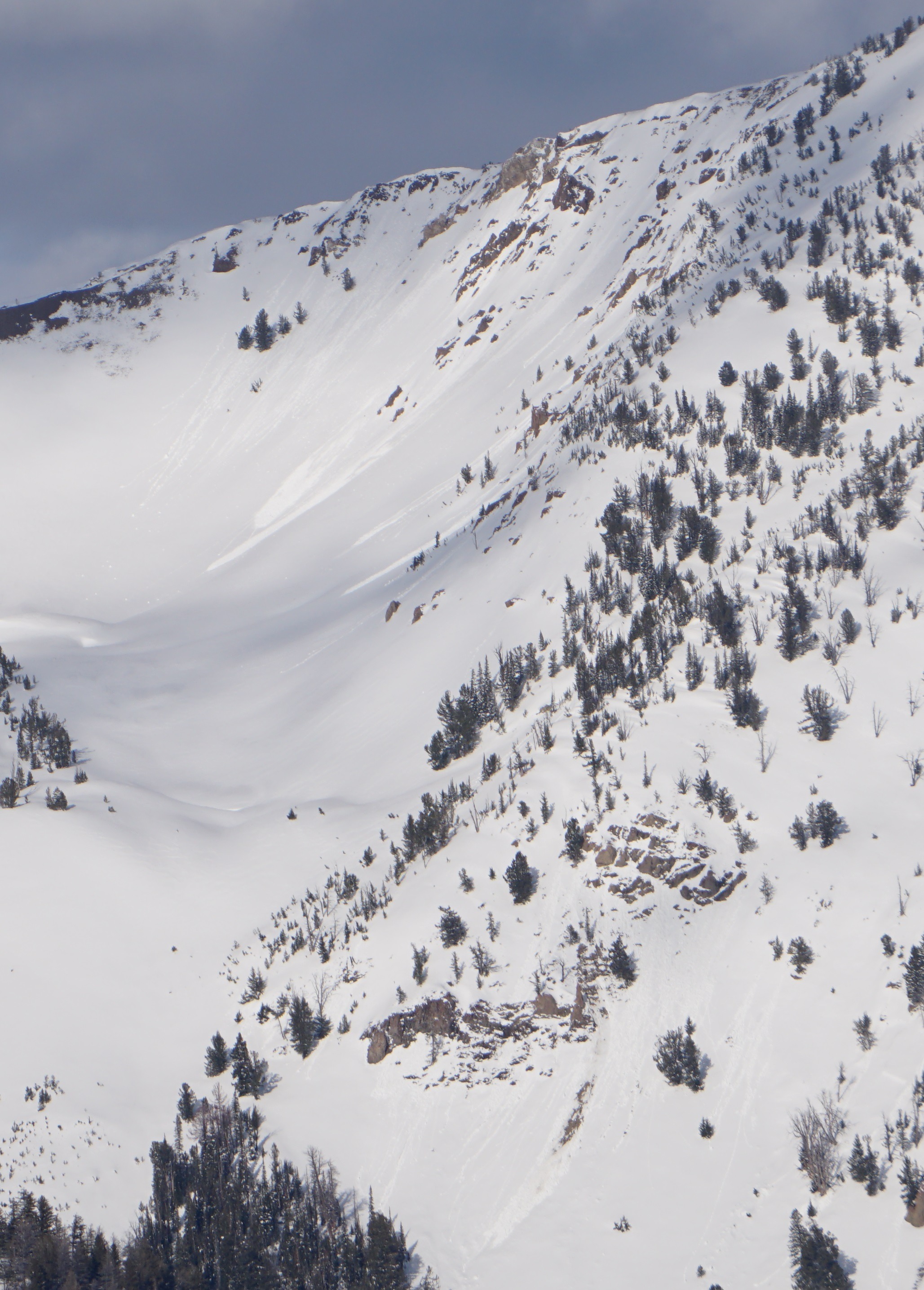
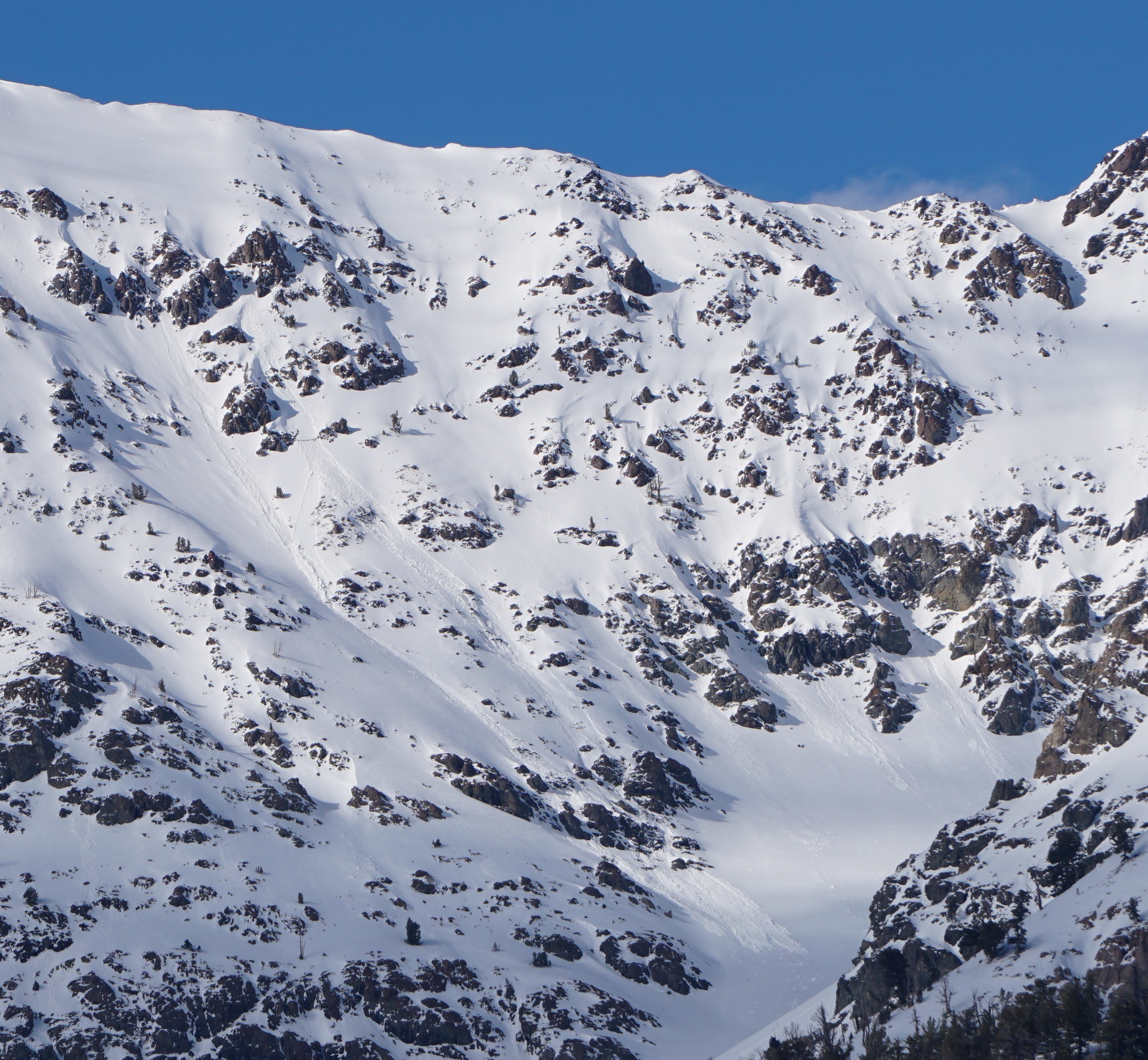
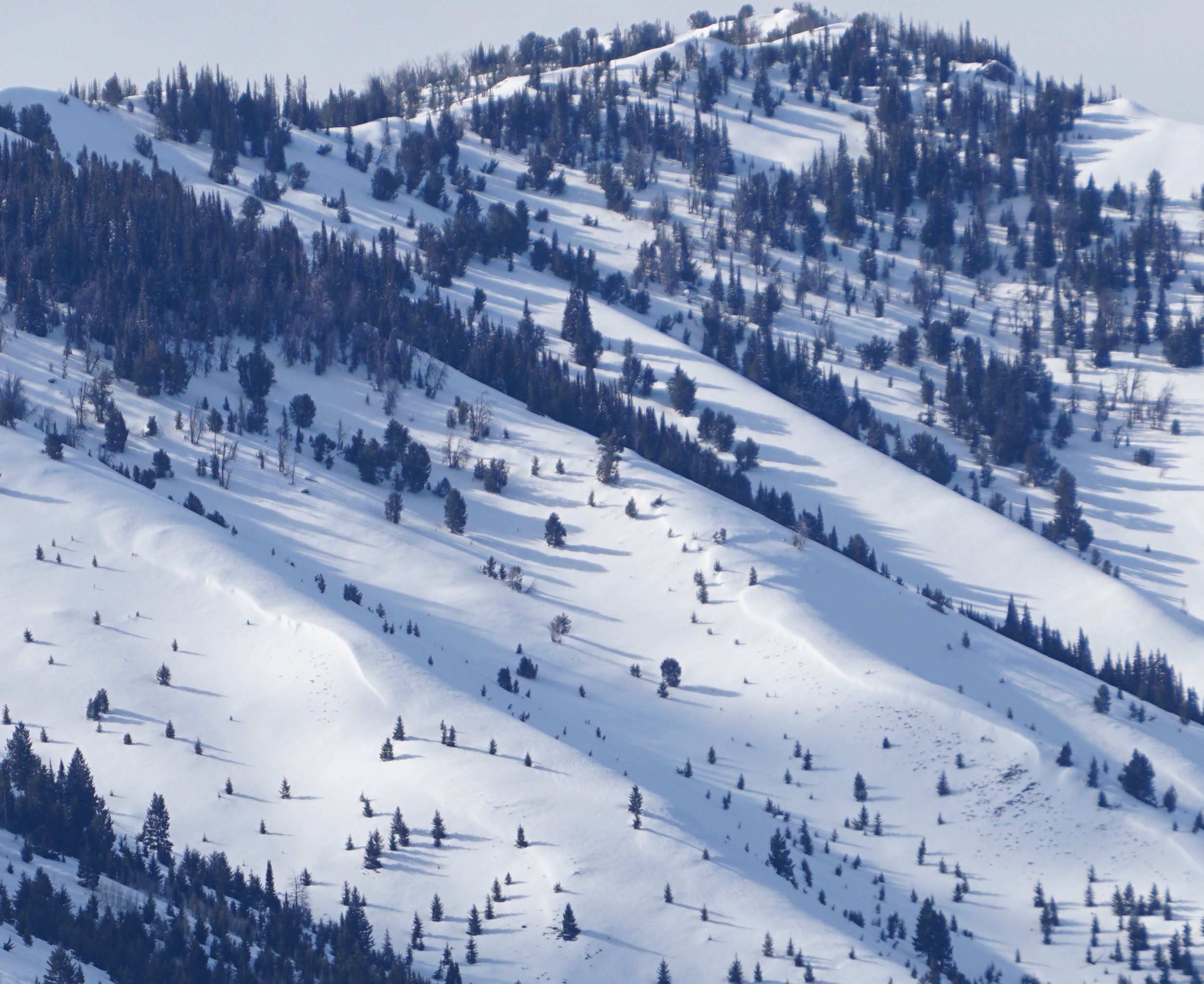
I saw 30-40 recent, wet loose avalanches in the Boulder Mtns (rocky, wind-sheltered W-SE-S-SE aspects above 9000'). I'm unsure how many released today versus yesterday. Strong winds were still transporting some snow at upper elevations in the Boulder Mtns late this afternoon. While much of the wind transported snow was sublimating (blowing into the sky and dissappearing), some could have been building cornices and existing wind slabs below alpine ridges.
Cracking and collapsing are N/A - roadside glassing observations only.Weather
- Air Temp
- 30s pass level, 40s lower elevations
- Cloud Cover
- broken
- Wind Loading
- light
- Recent Snowfall
- 0
- Snow Avail For Transport
- small smounts
Plumes coming off of high peaks in the Boulders, on Saviers Peak, and alpine terrain in Prairie Ck (appeared to be strong NW winds up high, breezy in the valley floor). Skies were clear to PC Kethcum to Durrance, PC to Prairie Ck, MC around Galena Summit, and MC to obscured in the western Smokys, Sawtooths, and White Clouds.
Avalanche
I saw about 30-40 wet loose slides in the Boulder Mtns, rocky W-S-SE aspects above 9000'. Most were D1-1.5, but a few may have been D2's. I'm unsure if these happened today or yesterday. Some of them looked quite fresh.