
Quick report
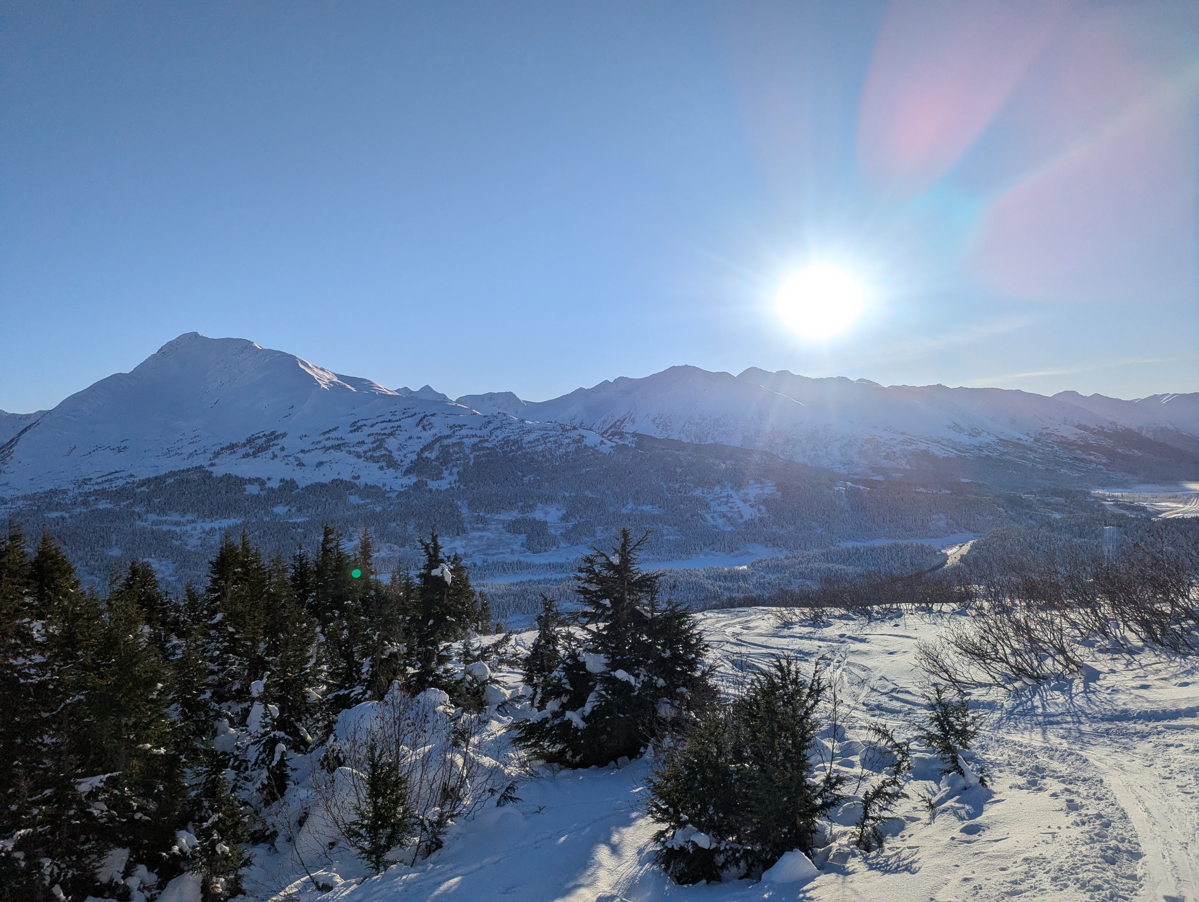
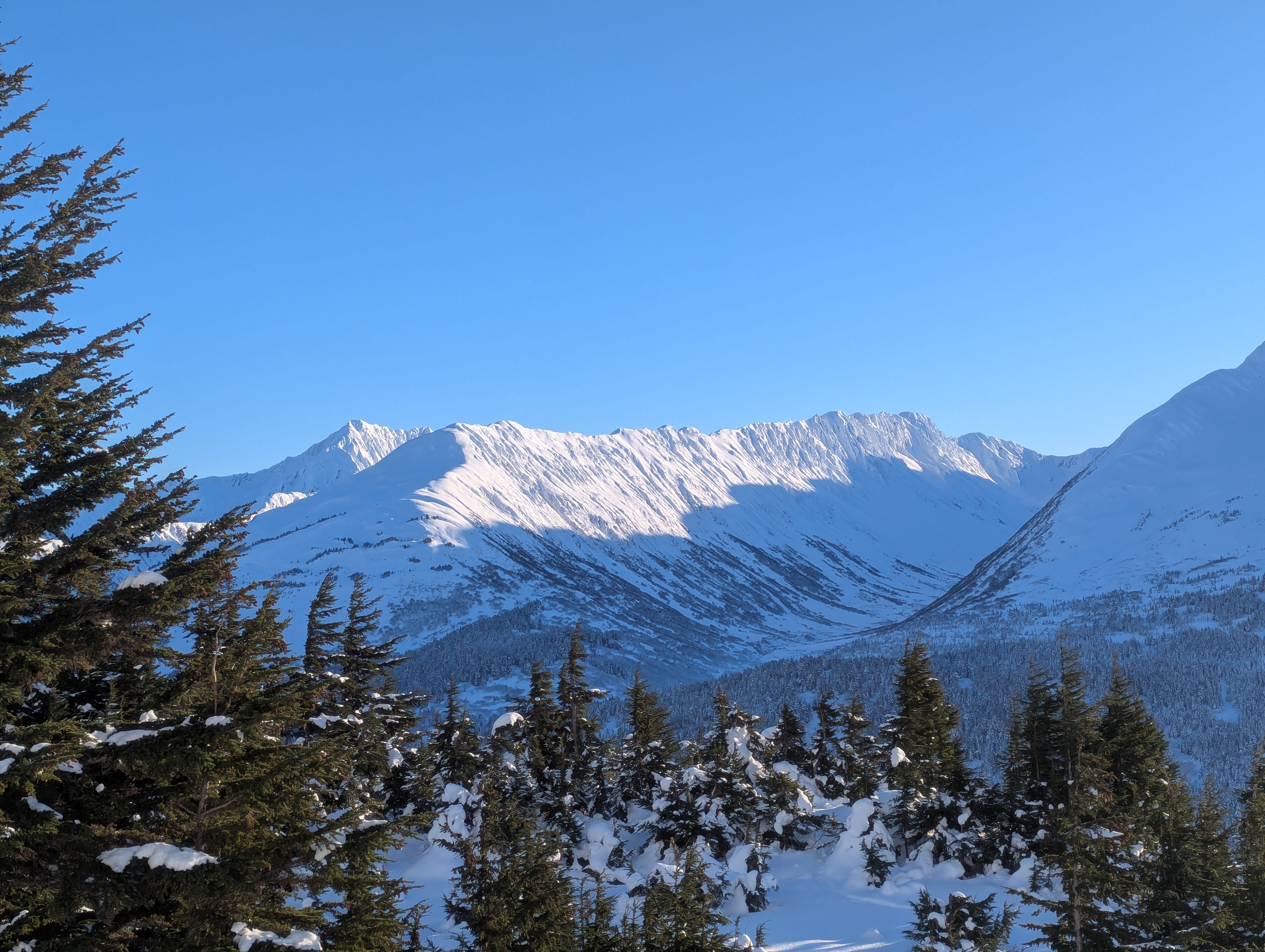
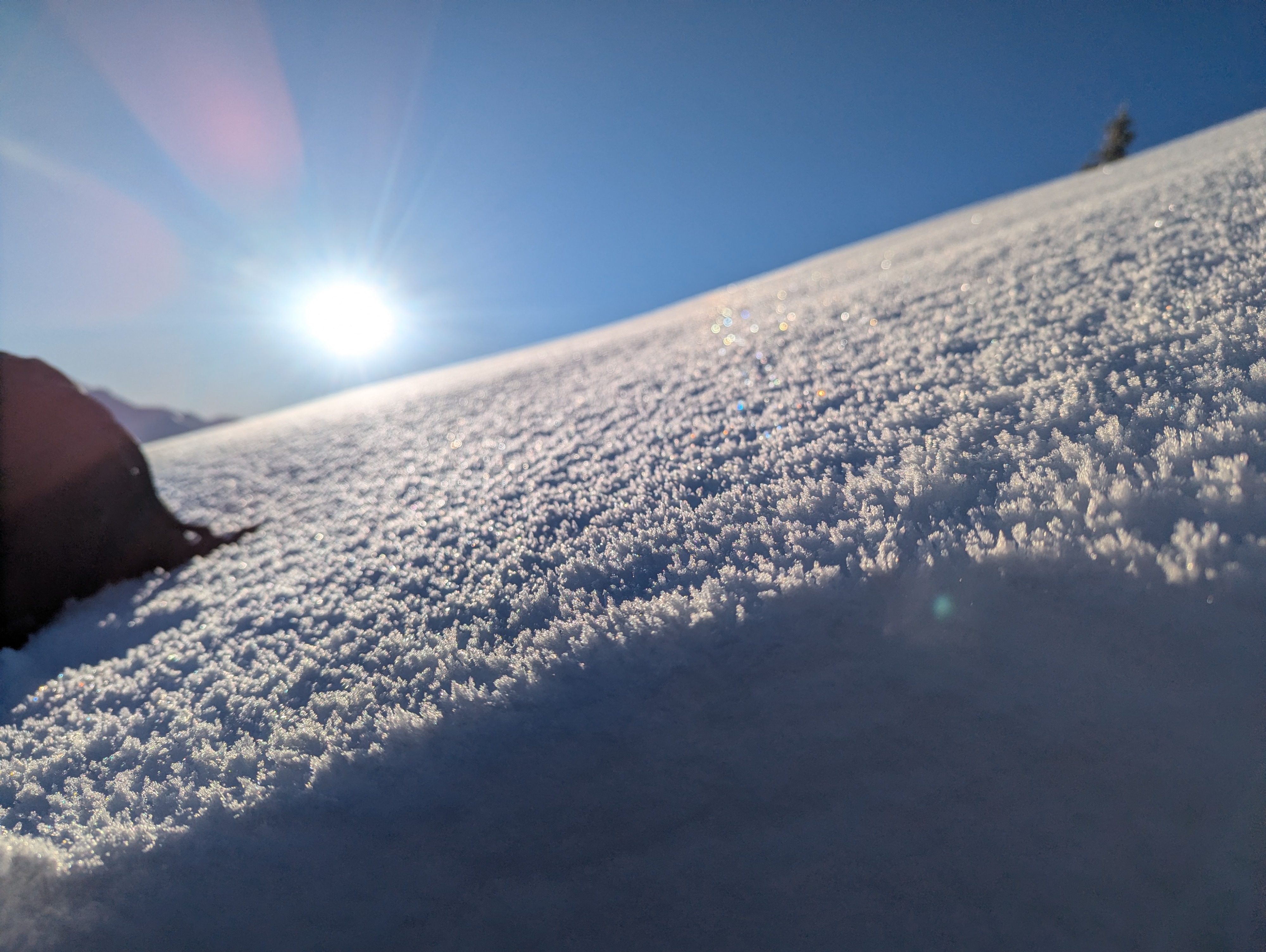
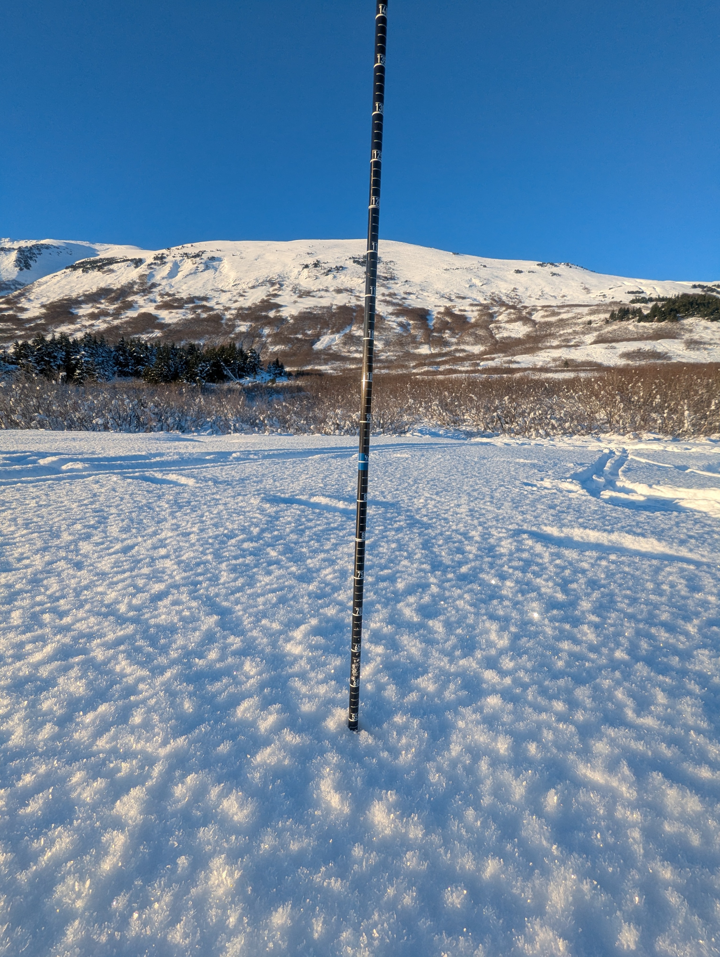
Conditions were great for mid-November, with good snow cover to skin from the parking lot. On the way down, there were a few alder stumps to look out for, but otherwise travel was pretty easy. Our main concerns are the widespread layer of large surface hoar crystals currently on the surface of the snowpack that should get buried by the next storm starting tonight, and the layer of buried surface hoar about 16" deep that failed in our snowpack tests, which could cause larger avalanches in areas where that weak layer is preserved in the snowpack. The surface snow was definitely still feeling the strength of the sun, with a notable just below the surface crust on solar aspects.
Weather
- Air Temp
- upper 20s
- Cloud Cover
- clear
- Snow Avail For Transport
- moderate amounts
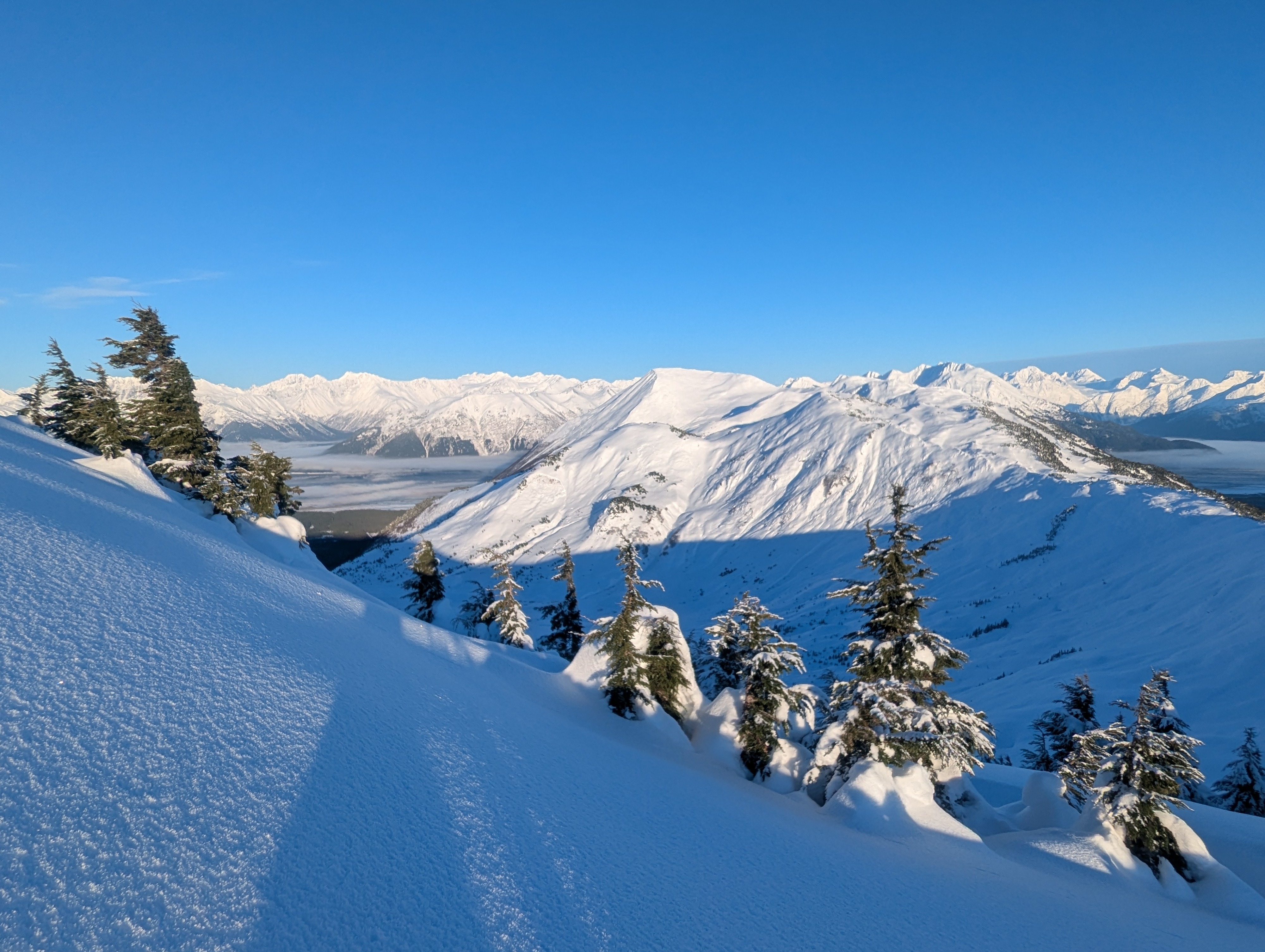
Beautiful day to get above the fog. In the sun, the temps felt warm with very light winds and clear skies.
Snowpack
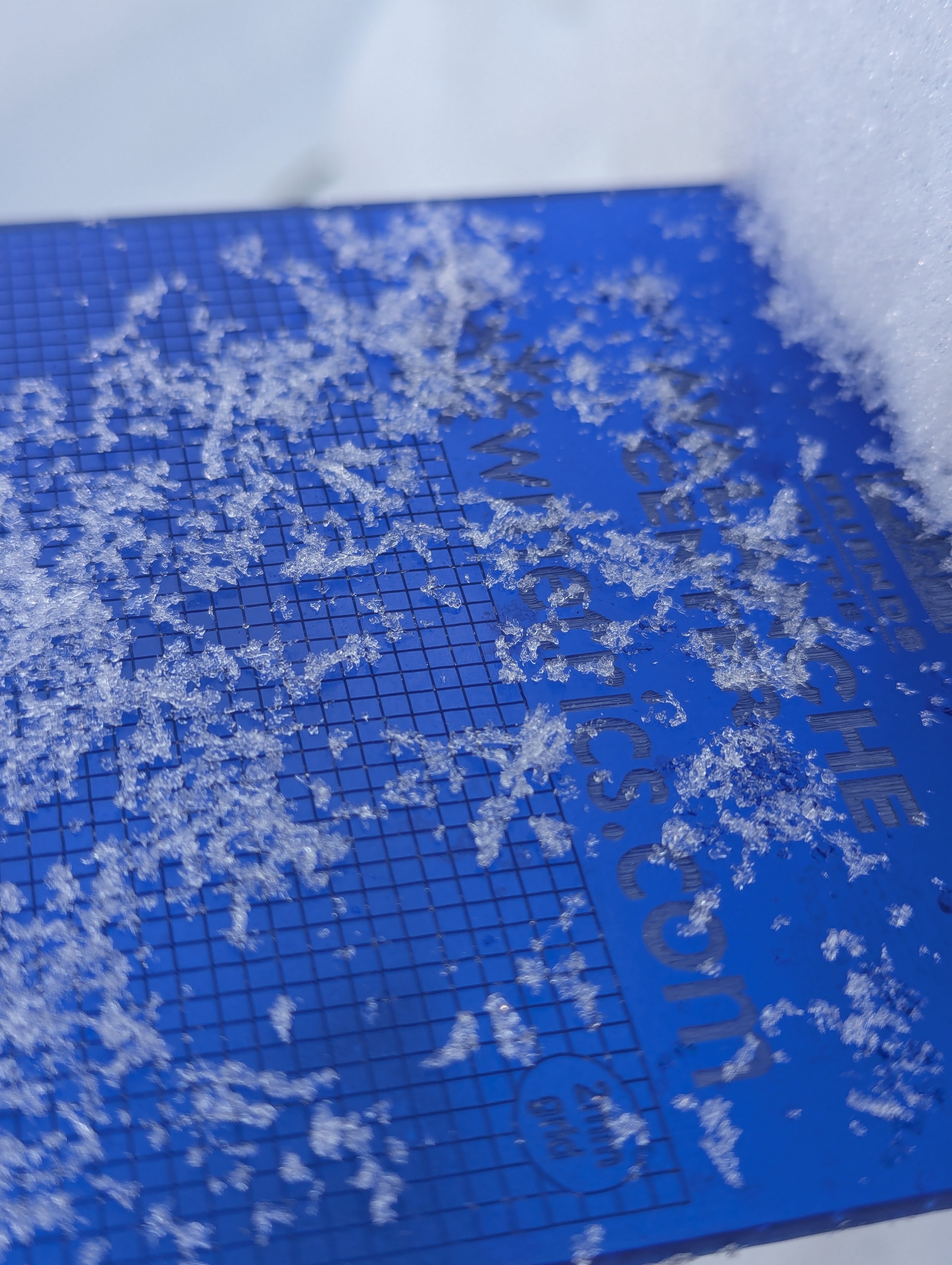
We found surface hoar on the snow surface from the parking lot up to our high point around 2600'. There was a notable difference in surface conditions between the south and north aspects. With south aspects having a crust of some kind (maybe radiation recrystallization) just under the surface, and northern or flat aspects having dry faceted loud powder on the surface.
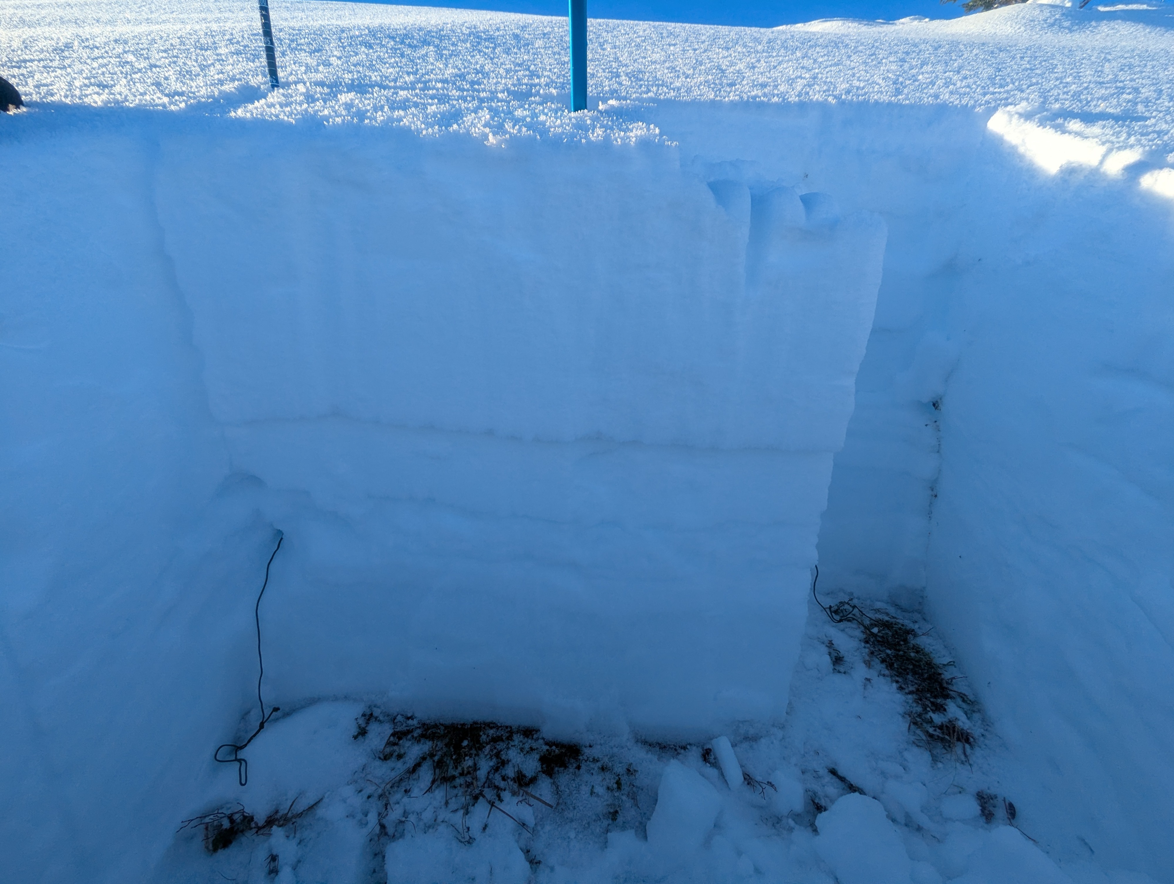
We dug two pits on E and N aspects at about 2600' just above main bowl. We found a weak layer of surface hoar about 16" deep (45 cm) that failed in all our stability tests (CT 25 SC, ECT P 18, ECT P 21). The layer was made up of 2-4 mm needle-shaped surface hoar that was very hard to spot in the pit wall and even after the test failed on the layer, we still needed a crystal card to spot the surface hoar. This is the most concerning layer we saw and could lead to natural avalanches during the next storm cycle which is expected to being about a foot of snow and strong winds.