
Quick report
- Cracking
- specific
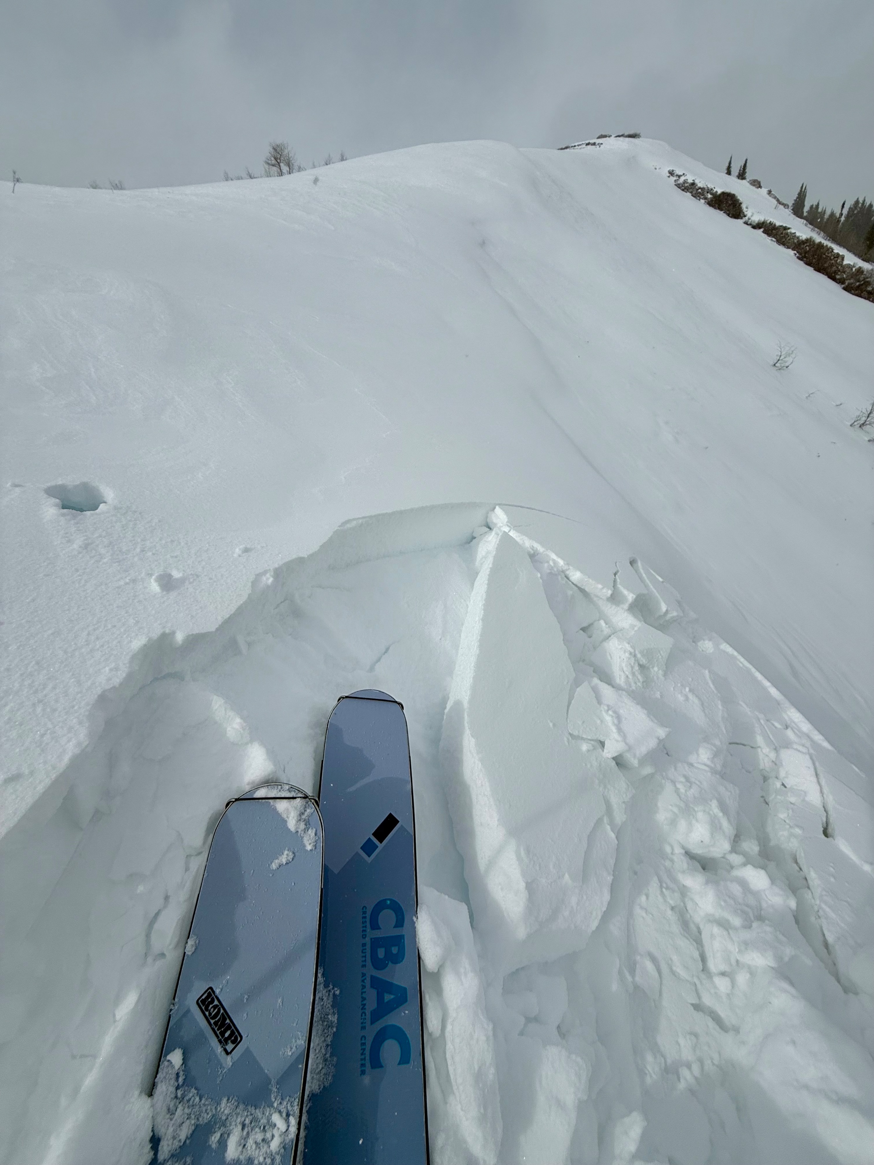
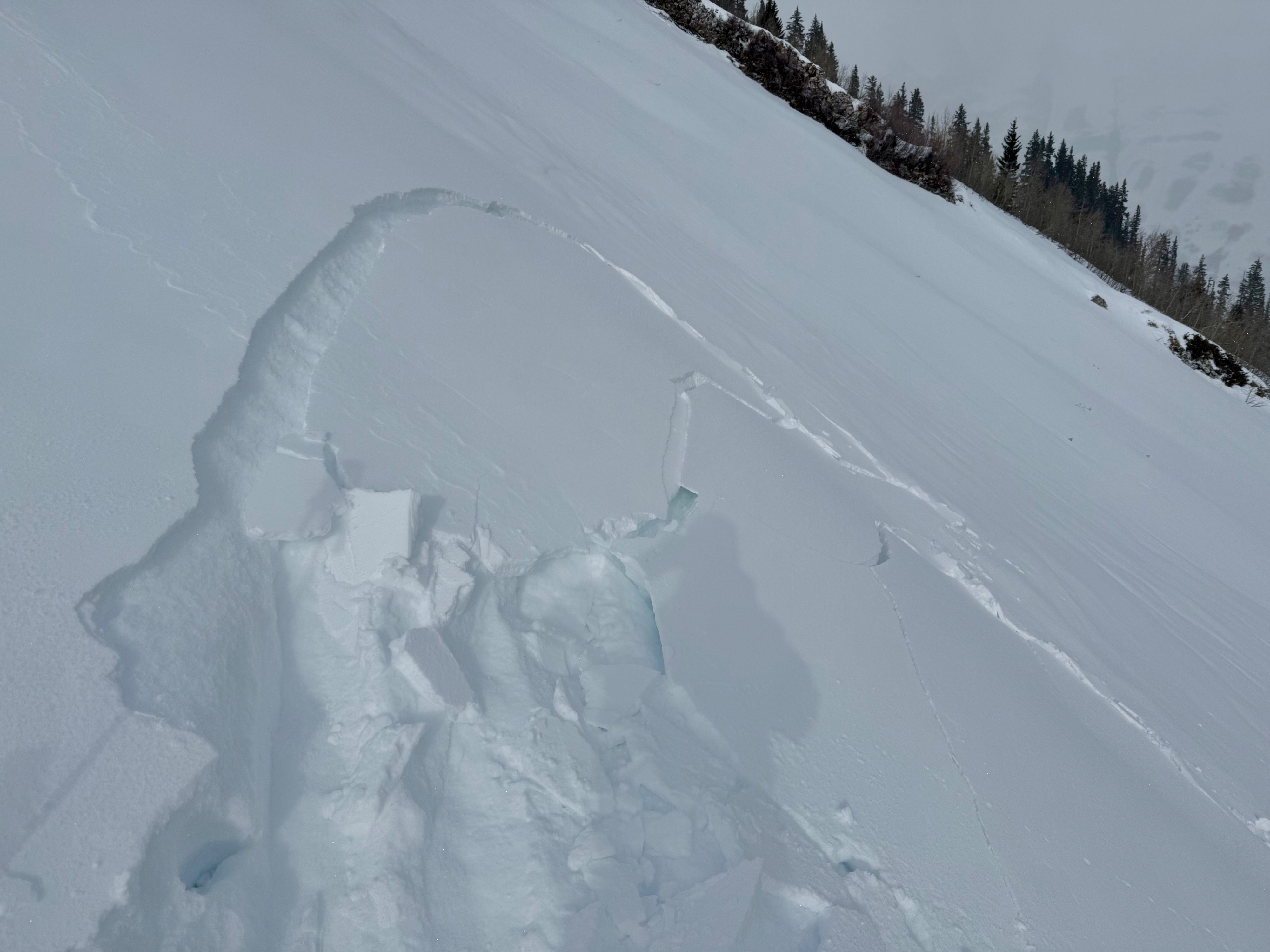
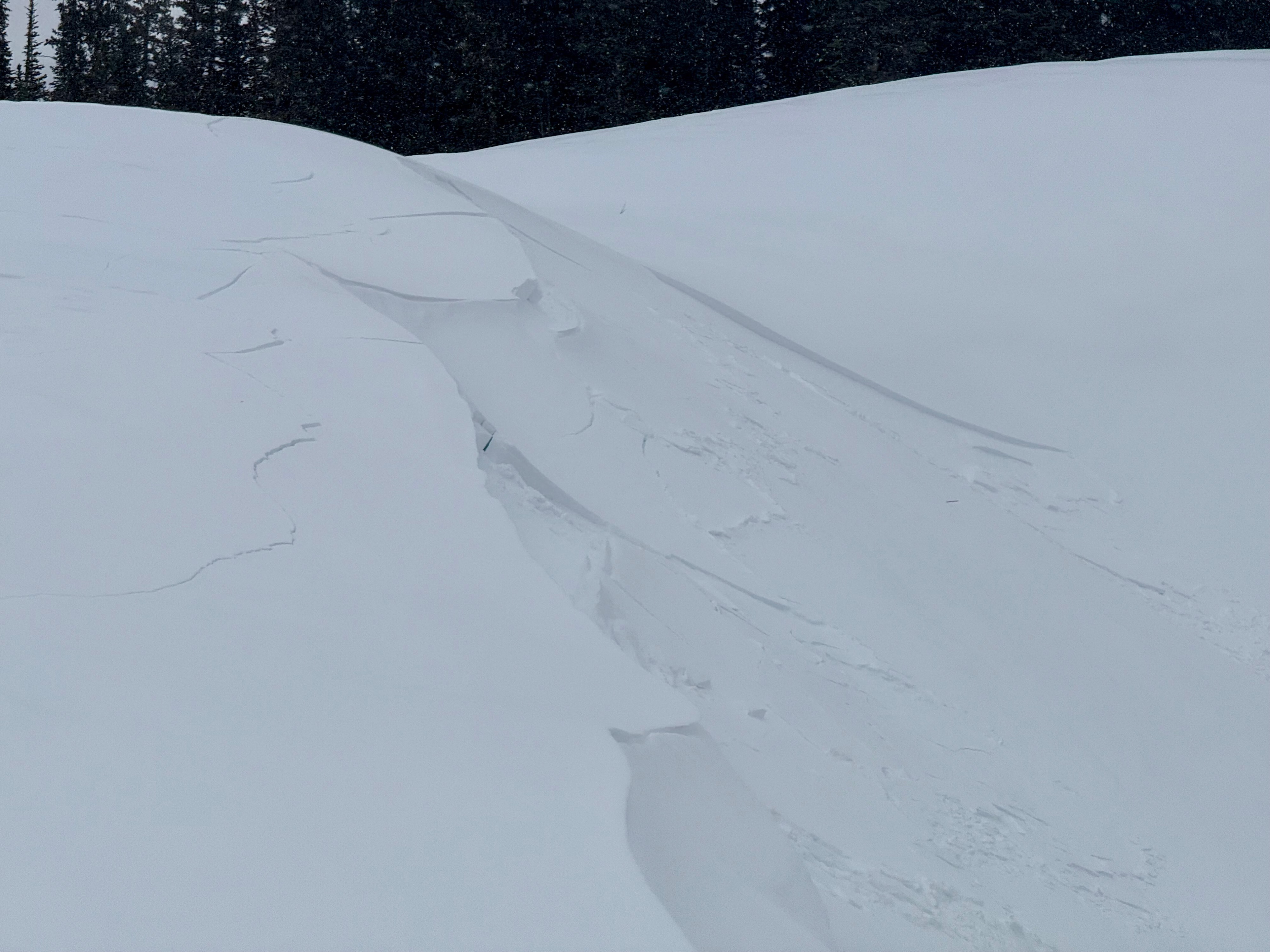
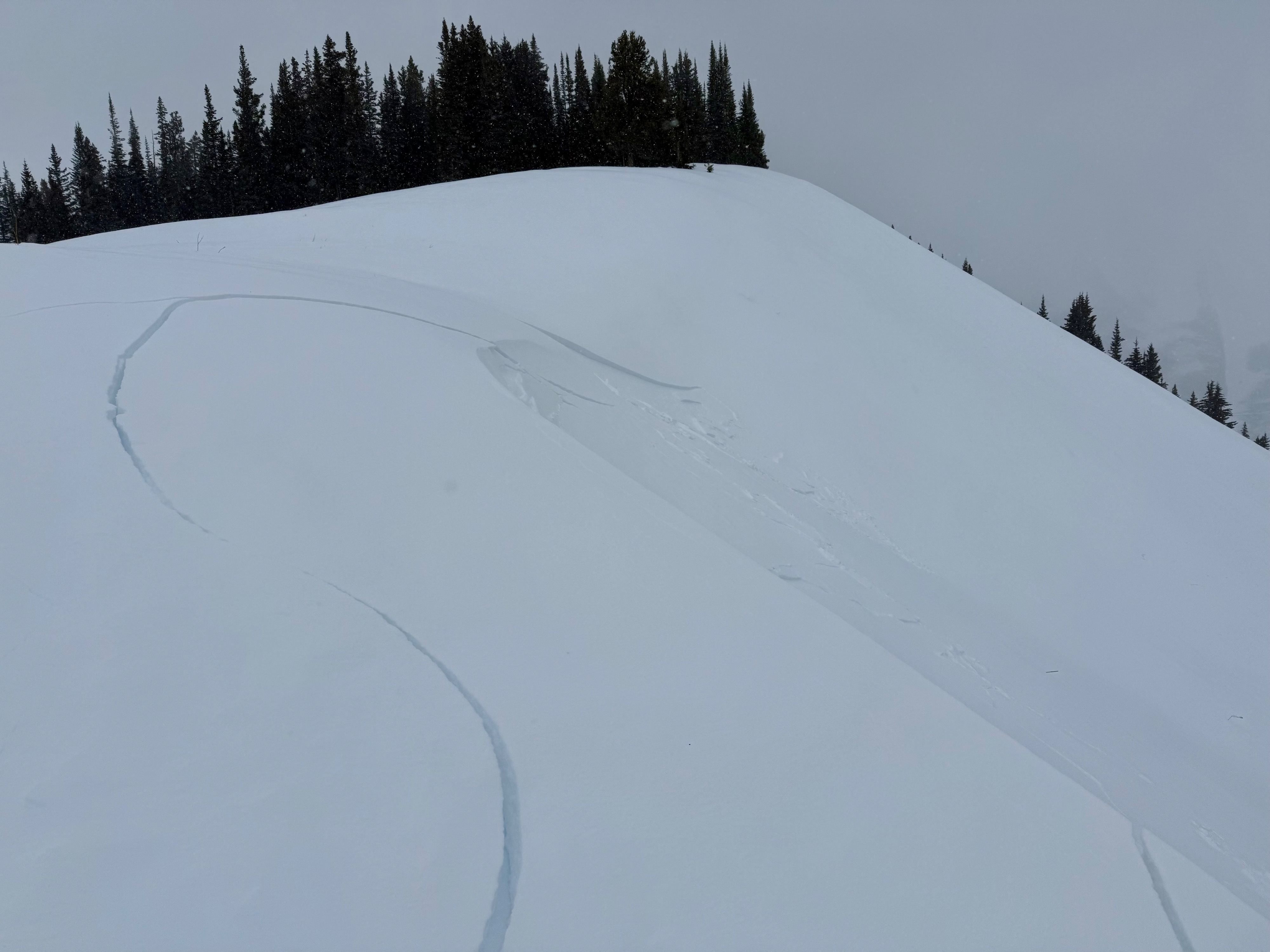
Obvious signs of instability and shooting cracks were specific on east and nonexistent on northeast-facing terrain.
Weather
- Cloud Cover
- broken
- Wind Loading
- light
- Recent Snowfall
- 3
- Snow Avail For Transport
- small smounts
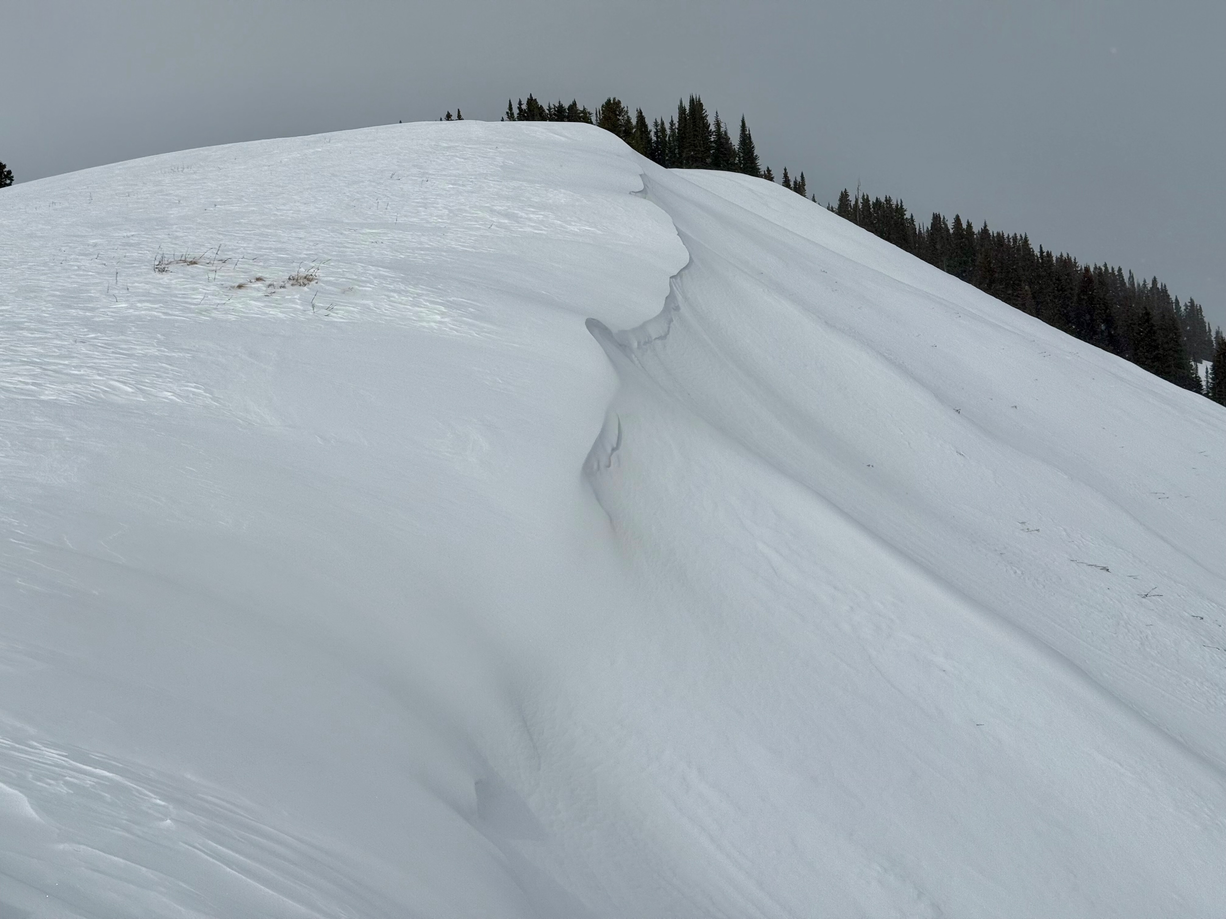
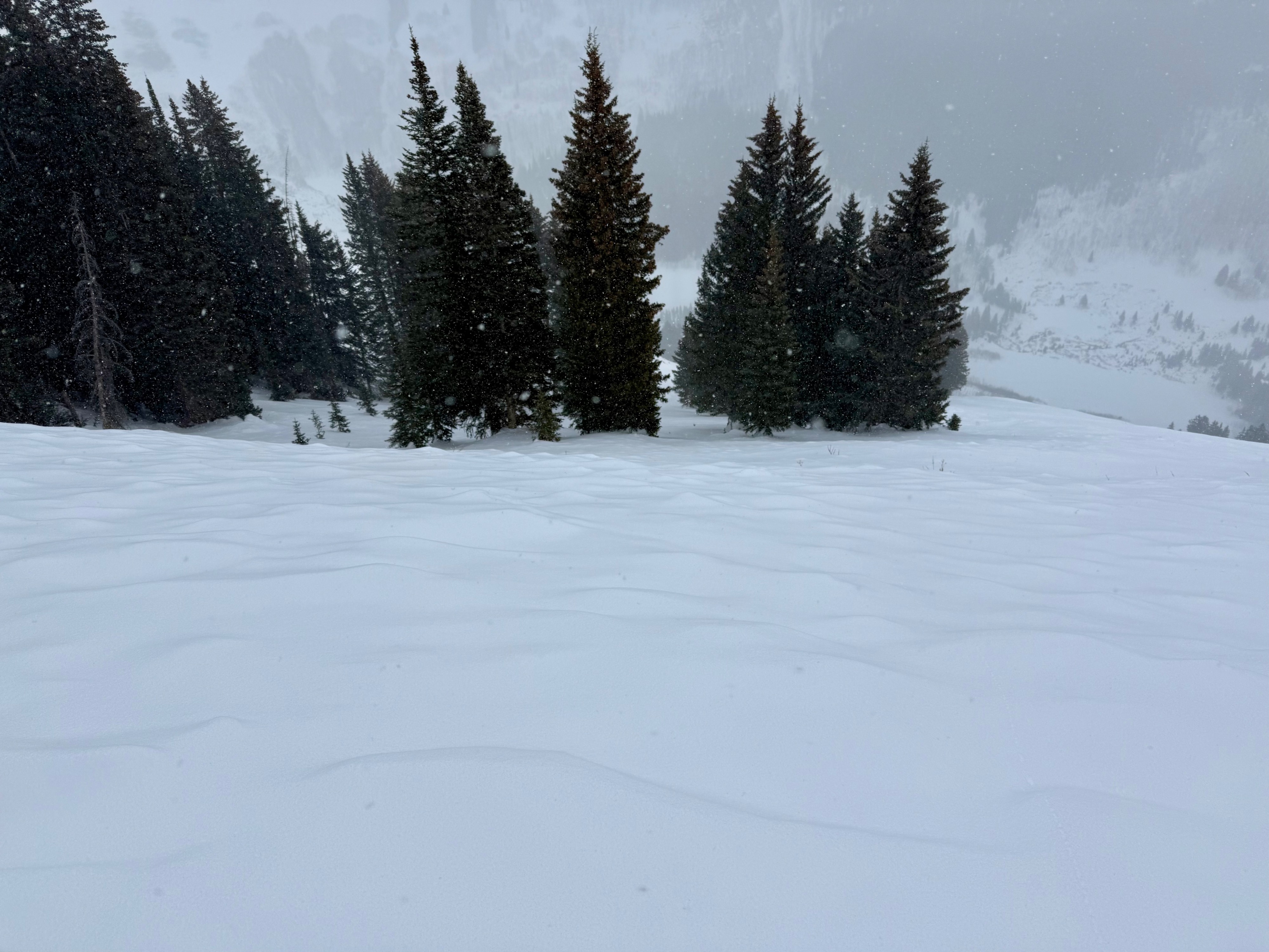
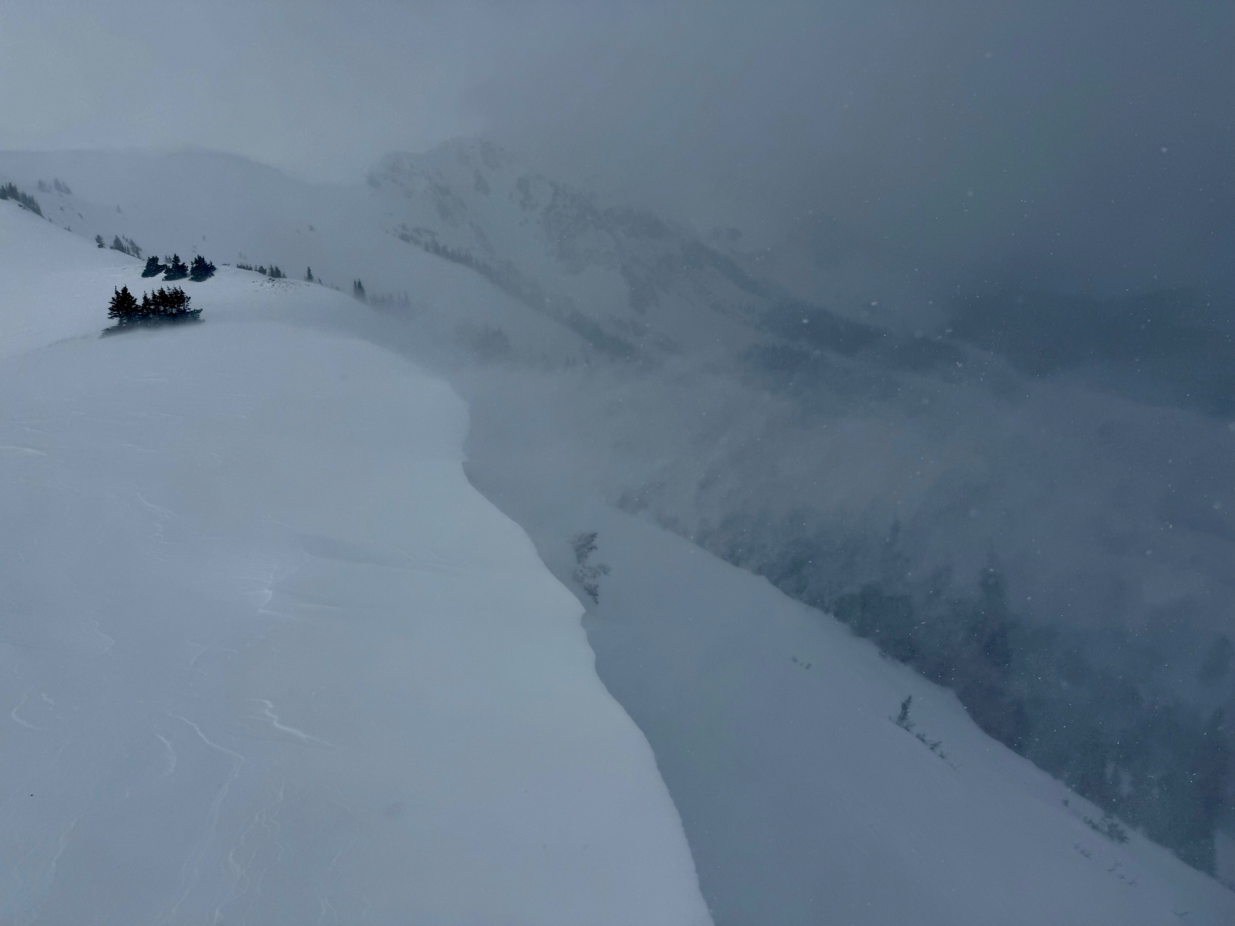
Snowfall picked up mid-day, with about 1" of new snow by 2pm. Consistent moderate winds were continuing to drift what little snow was available for transport at 11,500ft.
Snowpack
Below 11,800ft, slab avalanche concerns were very small and specific to a few previously wind-loaded terrain features. The easterly facing terrain that I traveled through had a very small and reactive hard slab confined right to the ridgeline. Those slabs were typically a few inches thick and didn't extend far into the slope. Northeasterly terrain was mostly blown out by the wind event that occurred earlier this week. New wind slabs were trying to form today, but there still wasn't much snow available for transport between 11,000 and 11,800ft.
All the NE and E-facing avalanche paths that I crossed were all a pile of sand, with a shallow snow depth and large-grained facets making up what little snowpack remained. All those paths avalanched during the Thanksgiving event.