
Quick report
- Collapsing
- Observed
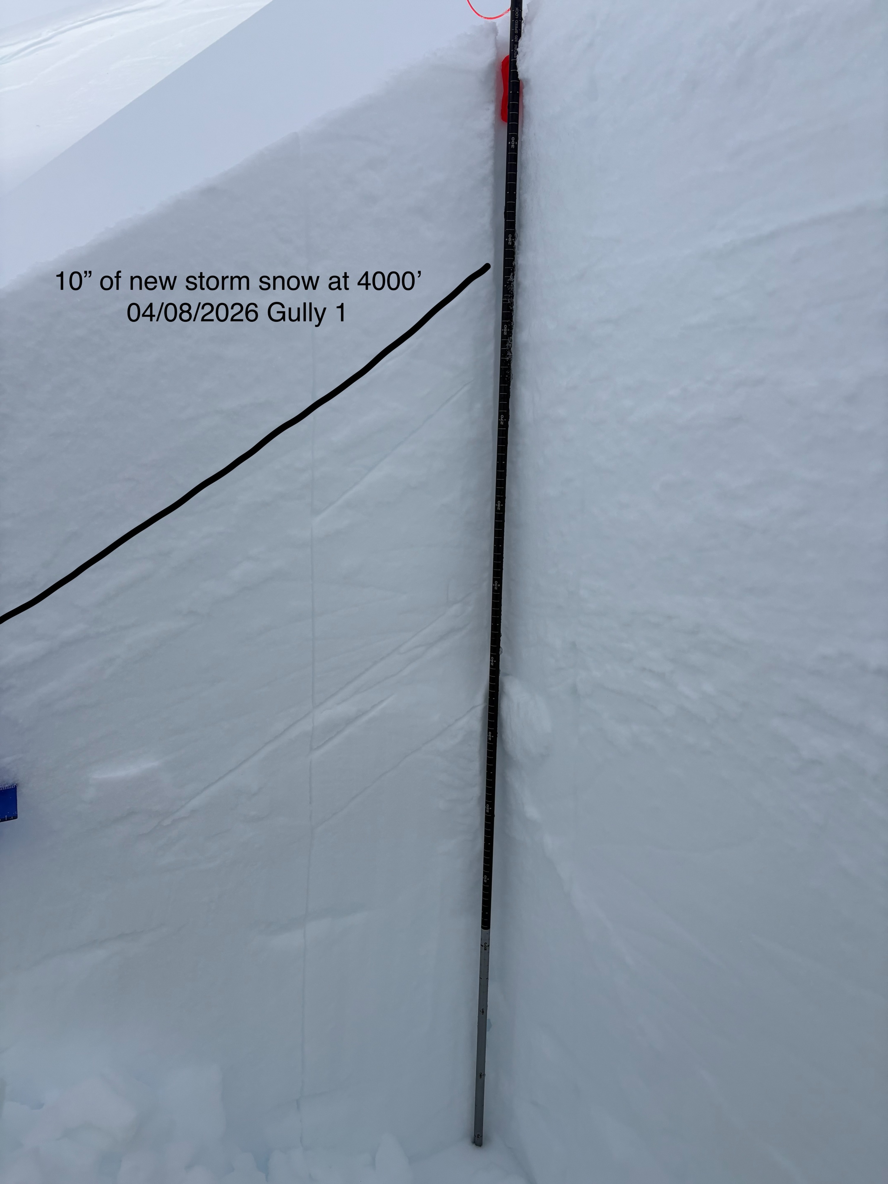
Toured up Gully 1 to take a look at storm slab development at upper elevations and see how warming temperatures were affecting the snowpack. Below 3000ft 3-4" of new snow has fallen over the past 5 days and the top 12" of the snowpack was moist as warm temperatures and sun penetrate the porous faceted snowpack. In specific areas above 4000ft that were slightly wind drifted the storm slab was found to be up to 10" deep and was not well bonded to the underlying near surface facets that it fell on. Around 4000 ft in an area that had been wind drifted by down slope (katabatic) winds I felt a large collapse indicating there is a sufficient slab to create an avalanche. This issue seems to be specific to accumulation zones where wind has slightly drifted the snow creating a deep slab. In most other locations above 4000ft the slab was 6" or less.
Large whump on a deeper pocket of slightly wind drifted storm snow.Weather
- Air Temp
- 32
- Cloud Cover
- broken
- Wind Loading
- light
- Recent Snowfall
- 25
- Snow Avail For Transport
- small smounts
Dynamic weather with some sun popping out before the next storm front moved in bringing some light snowfall. Temperatures were at or above freezing until around 3000 ft.
Snowpack
On a west aspect at 4000ft the height of snow was 315cms. 25cms of new snow sat a top a mostly faceted snowpack.
Got an ECTN4 down 25cms at the new/old interface. Several hasty CT tests also revealed easy to moderate results at the new old interface.