
Quick report
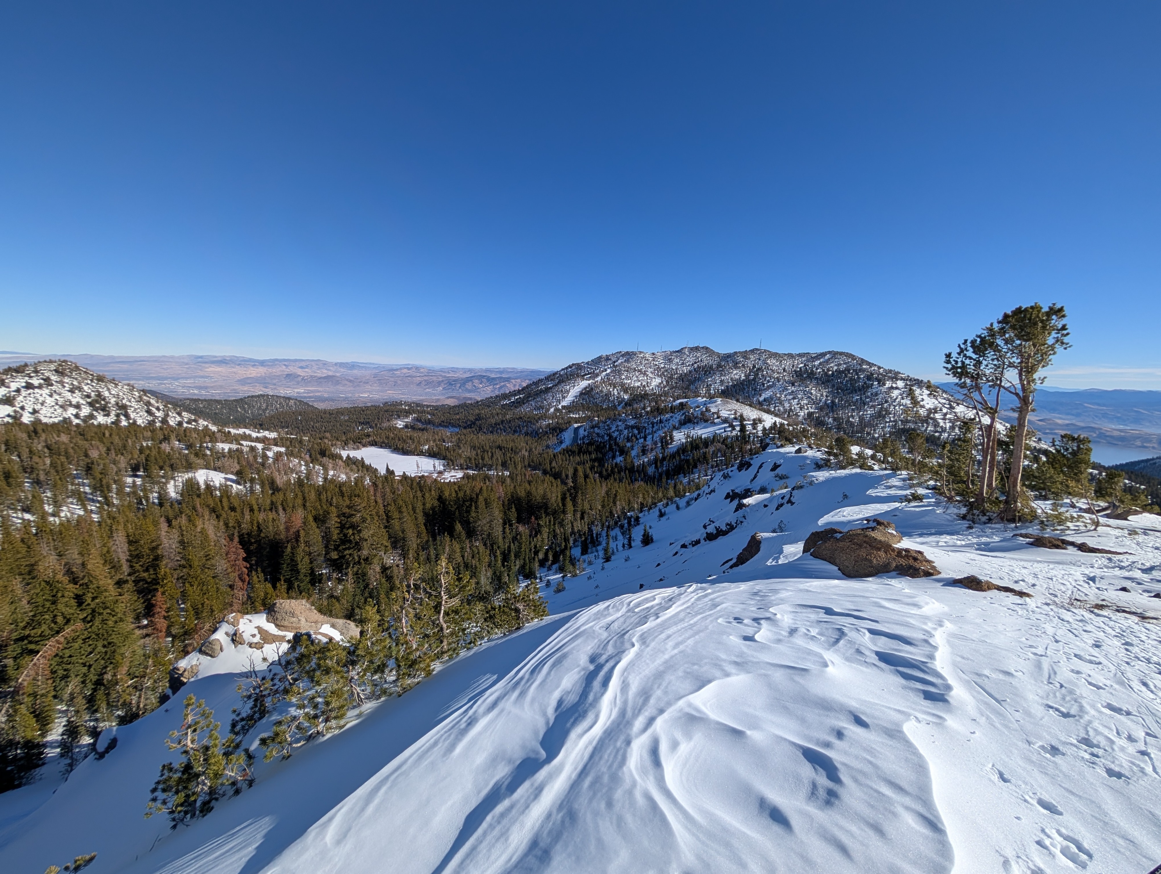
The snowpack in this area remains shallow but mostly supportable. Most places had snow depths ranging from 20 to 30 inches (50 to 75 cm), and there were still plenty of bushes, rocks, and other obstacles poking through the snow.
Shady northerly facing aspects still held soft snow on the surface, but wet snow and thin sun crusts existed on more sun-exposed southerly facing slopes. E aspects were somewhere in between.
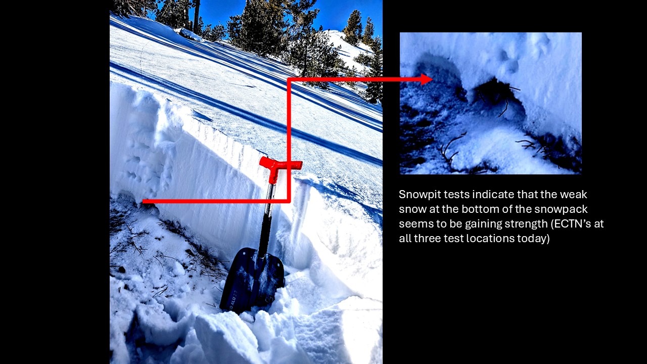
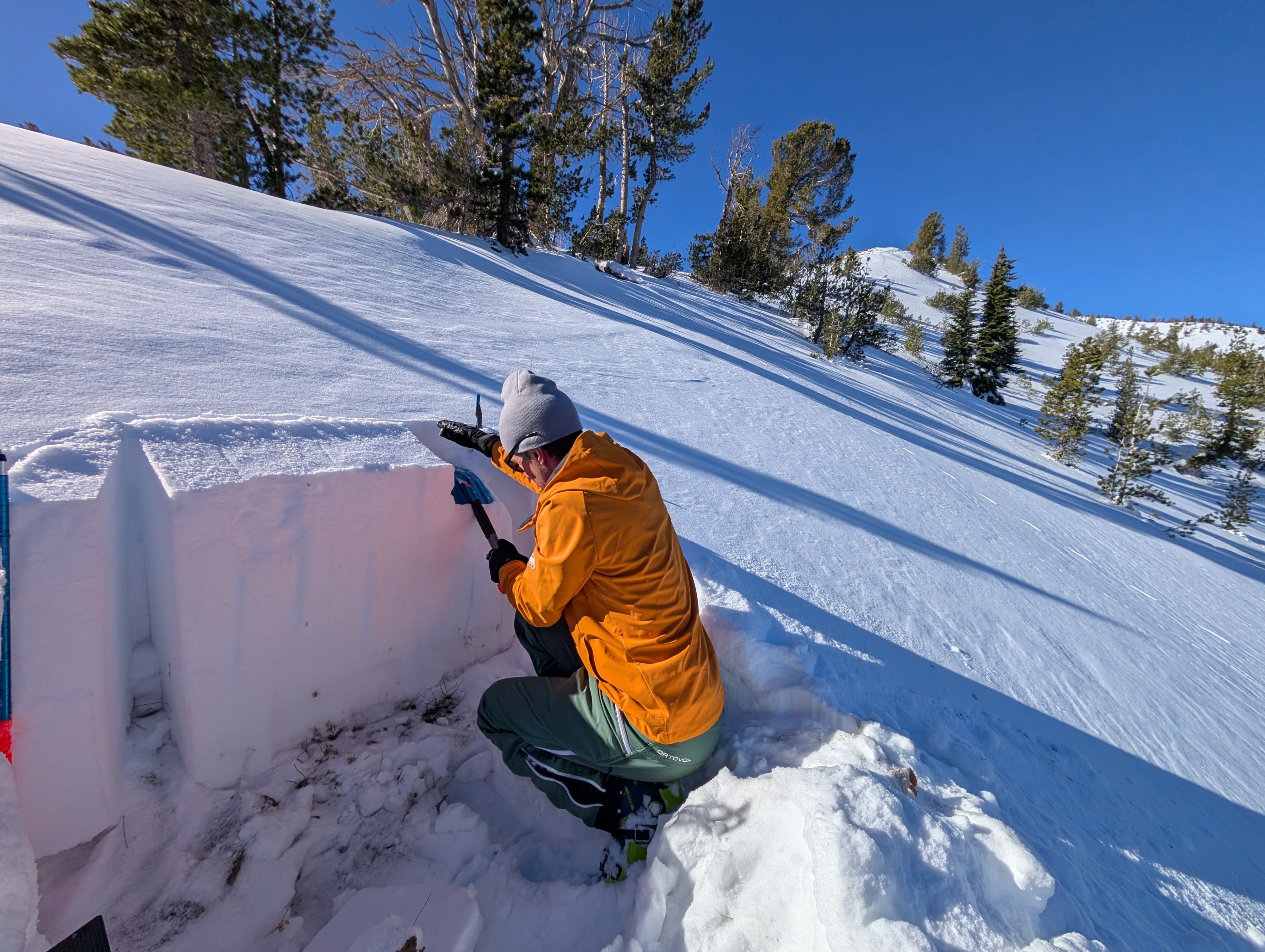
We dug into the snowpack several times to test the weak layers below the surface but did not find signs of ongoing instability (see the snowpack section).
Weather
- Air Temp
- 36 ° F
- Cloud Cover
- clear
- Recent Snowfall
- 0
- Snow Avail For Transport
- moderate amounts
The weather felt spring-like, with sunny skies, light winds, and warm temperatures.
Snowpack
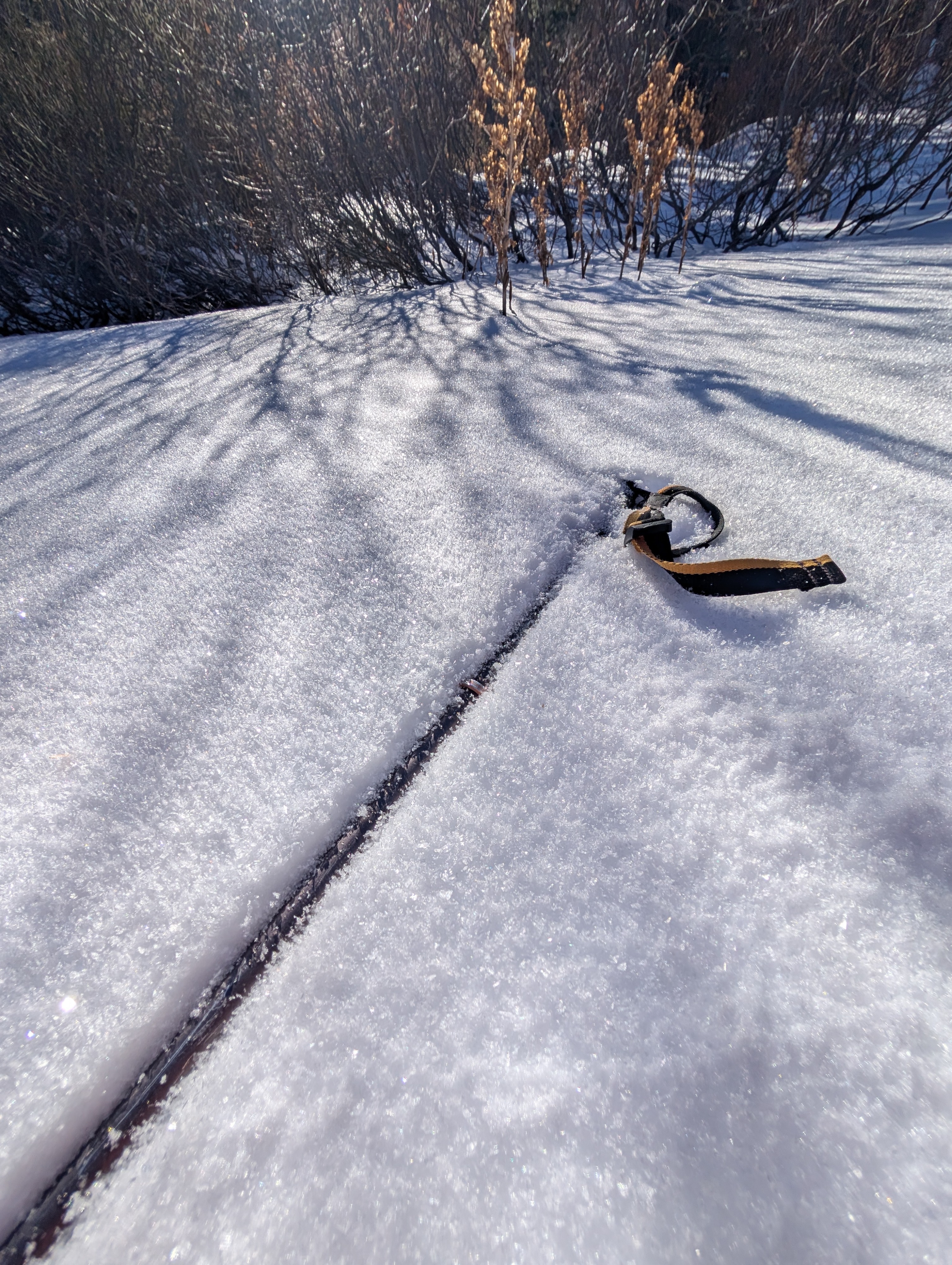
The snowpack structure resembled an inside-out Oreo: a layer of soft, sugary snow (near surface facets) on top of a more dense layer on top of another soft layer of larger-grained weak snow (basal facets). Tests indicated that these weak layers have gone dormant (ECTNs on N aspects @ 8800 ft, 9200 ft, and 9500 ft) in this area, but additional loading may reawaken them (PST 30/100 END @ 9200 ft).