
Quick report
- Collapsing
- specific
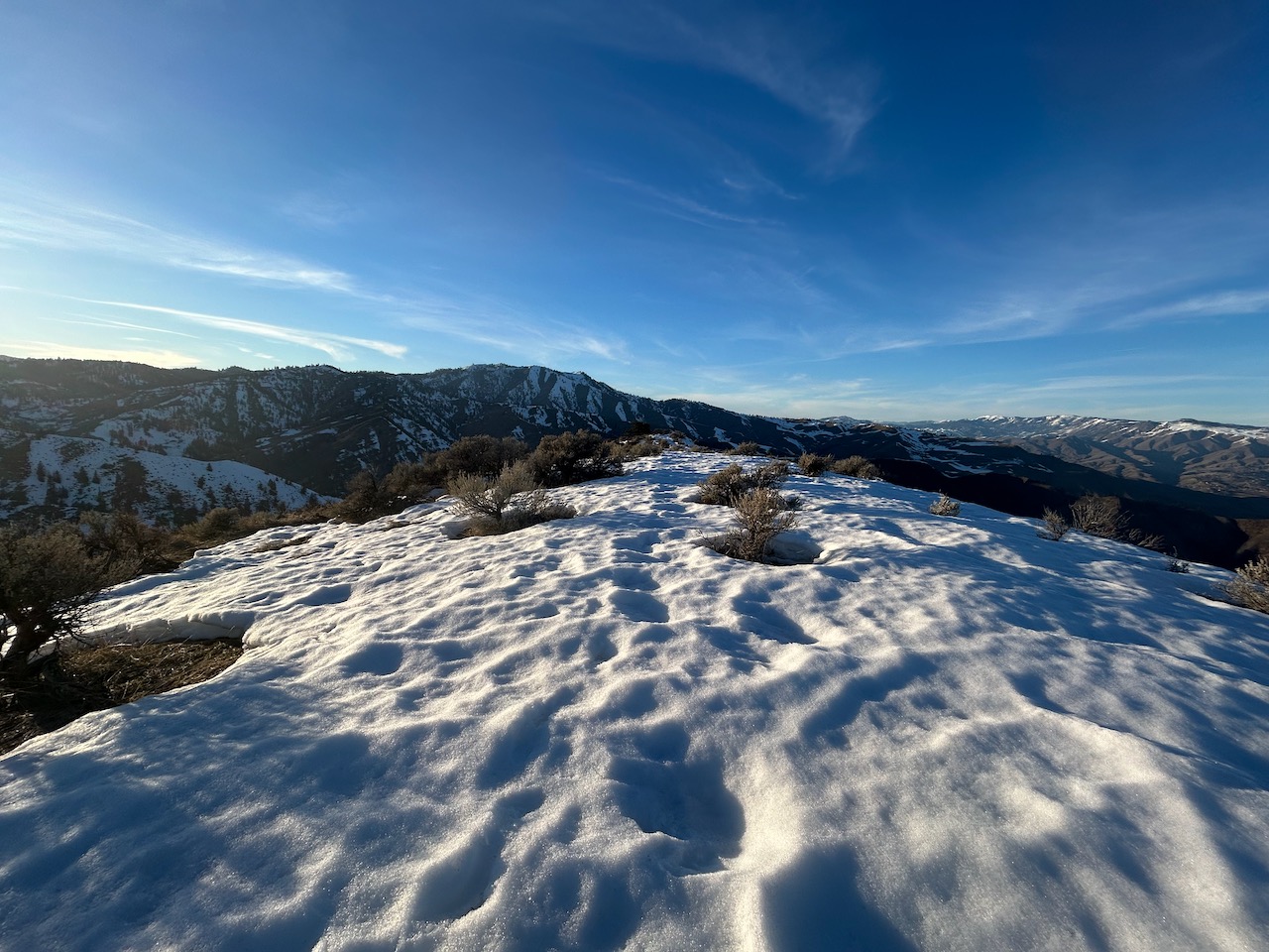
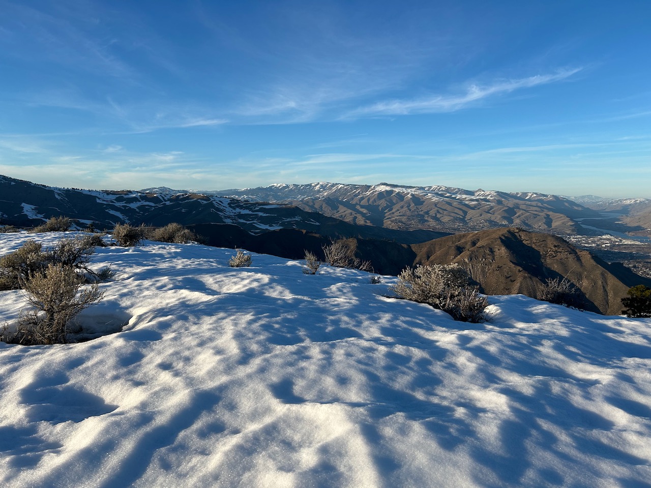
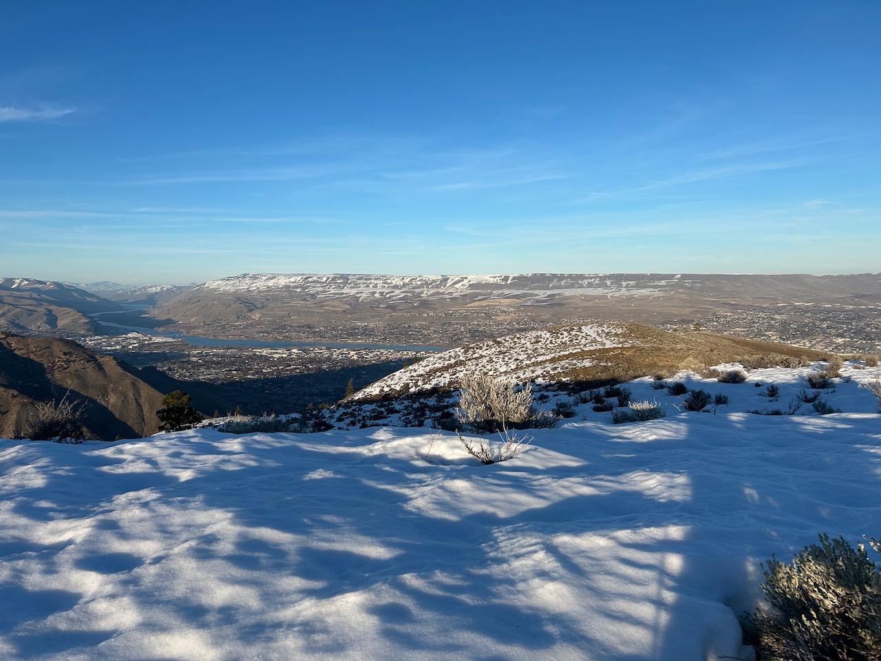
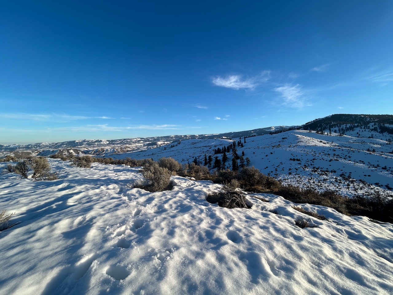
Booted up to Peak 2930 later on in the afternoon. Snowpack was fairly low coverage up to around 2.5k' on eastern aspect of the ridge (anywhere from 2"~1', generally), but deepened above ~2.6k' (1'~2'). It was surprising to see how much of the snowpack had retreated around the south face of Castle Rock Ridge and the surrounding foothills below ~1.5k'. The warmer temps last week and the AR event that preceded it really did a number on the snowpack.