
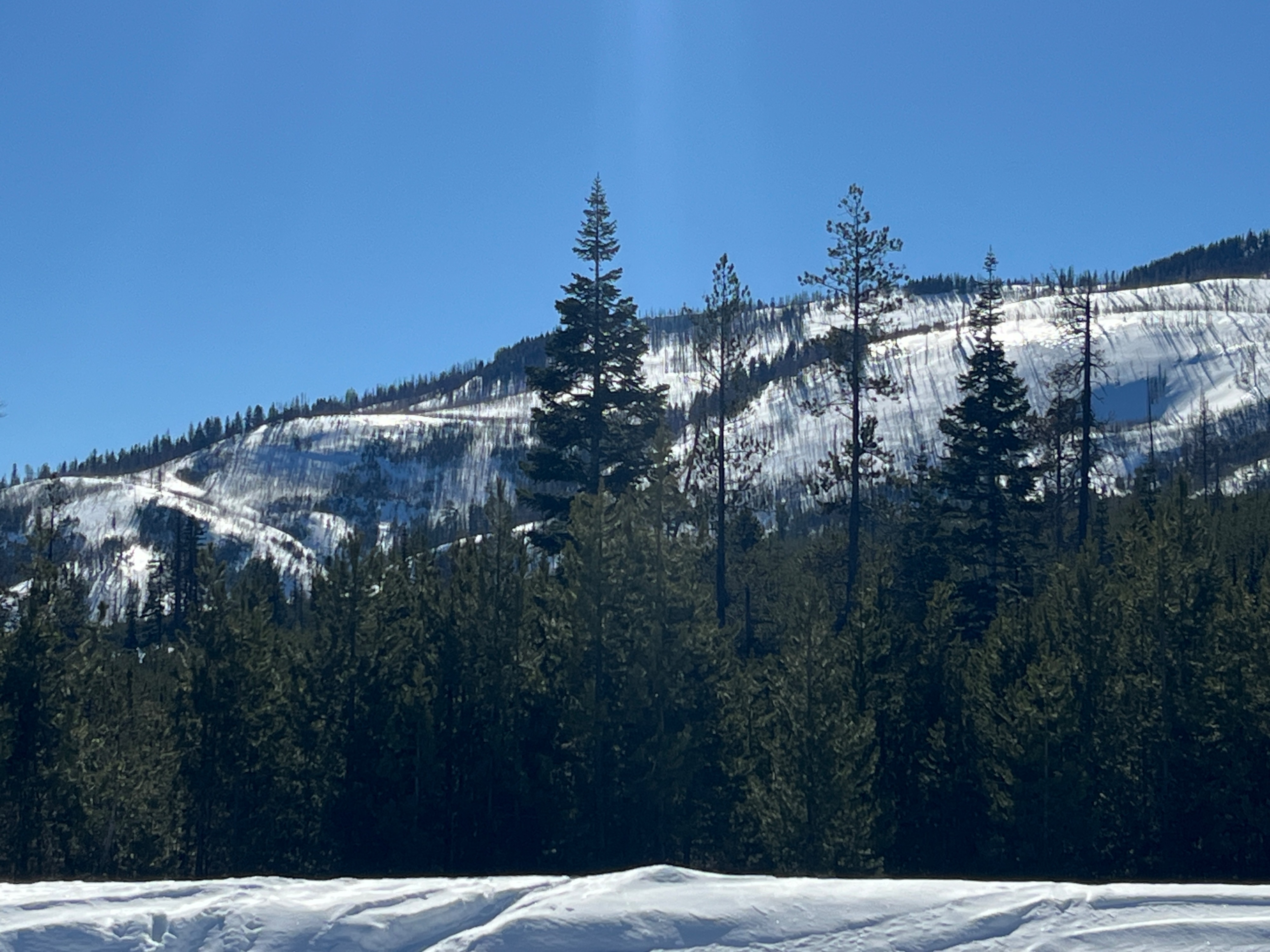
Quick report
We did not see any avalanches that we could confirm were today's, although we saw many previously reported from the last few days on Chief Joseph and First Bowl. After confirming a high of 48F, once the sun set over the ridge at 3:30, we missed the corn window and SE Phat ridge refroze surprisingly quickly. Fingers crossed for a cold night.
Weather
- Air Temp
- 48
- Cloud Cover
- clear
- Wind Loading
- none
- Recent Snowfall
- 0
- Snow Avail For Transport
- small smounts
Clear skies and Light S wind dropping to Calm.
Snowpack
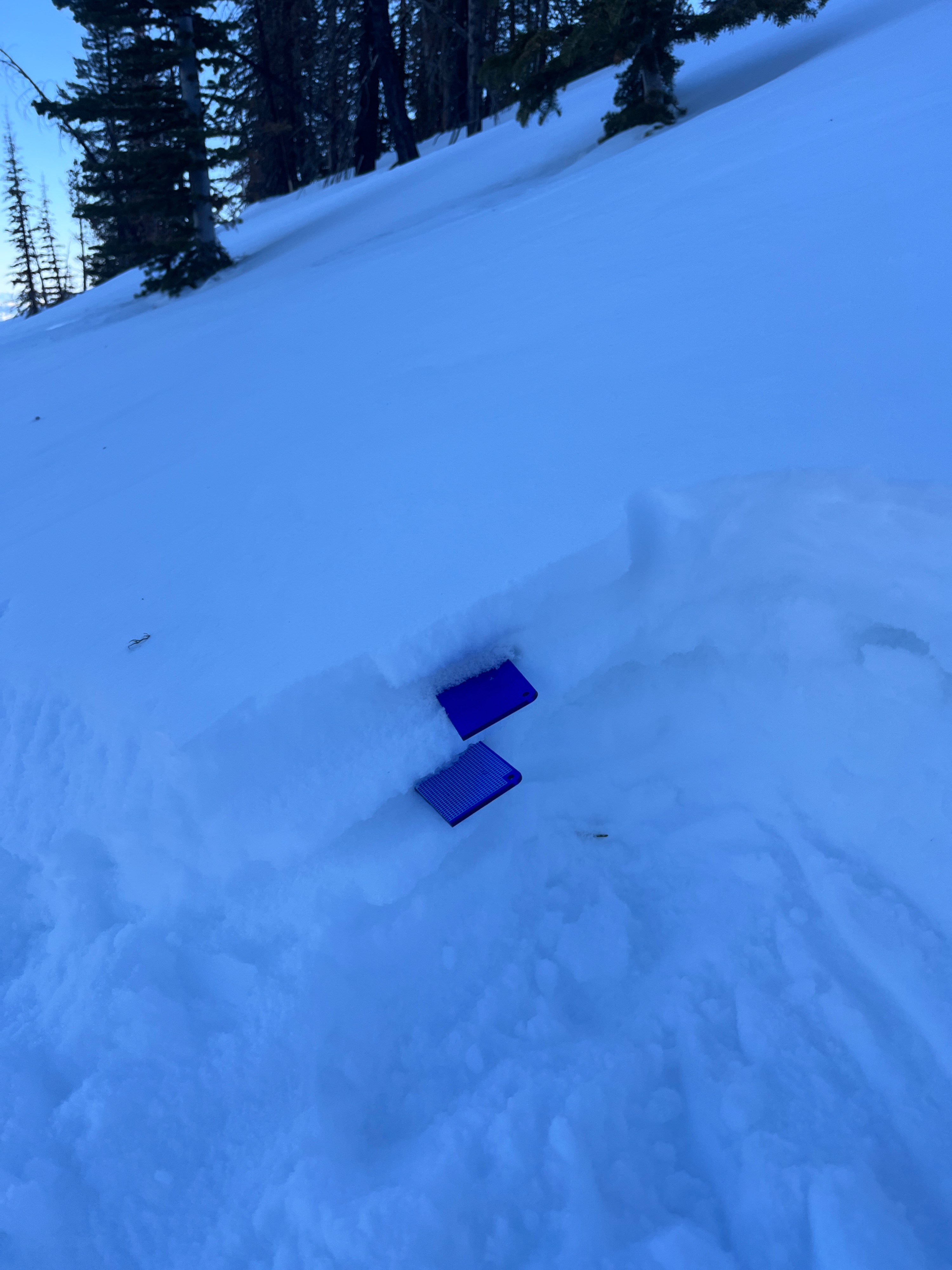
Below 7500 on E-S aspects, the top 5cm was saturated or moist depending on tree shading. A moist upper snowpack with a variety of thin crusts led to boot penetration of 20cm.
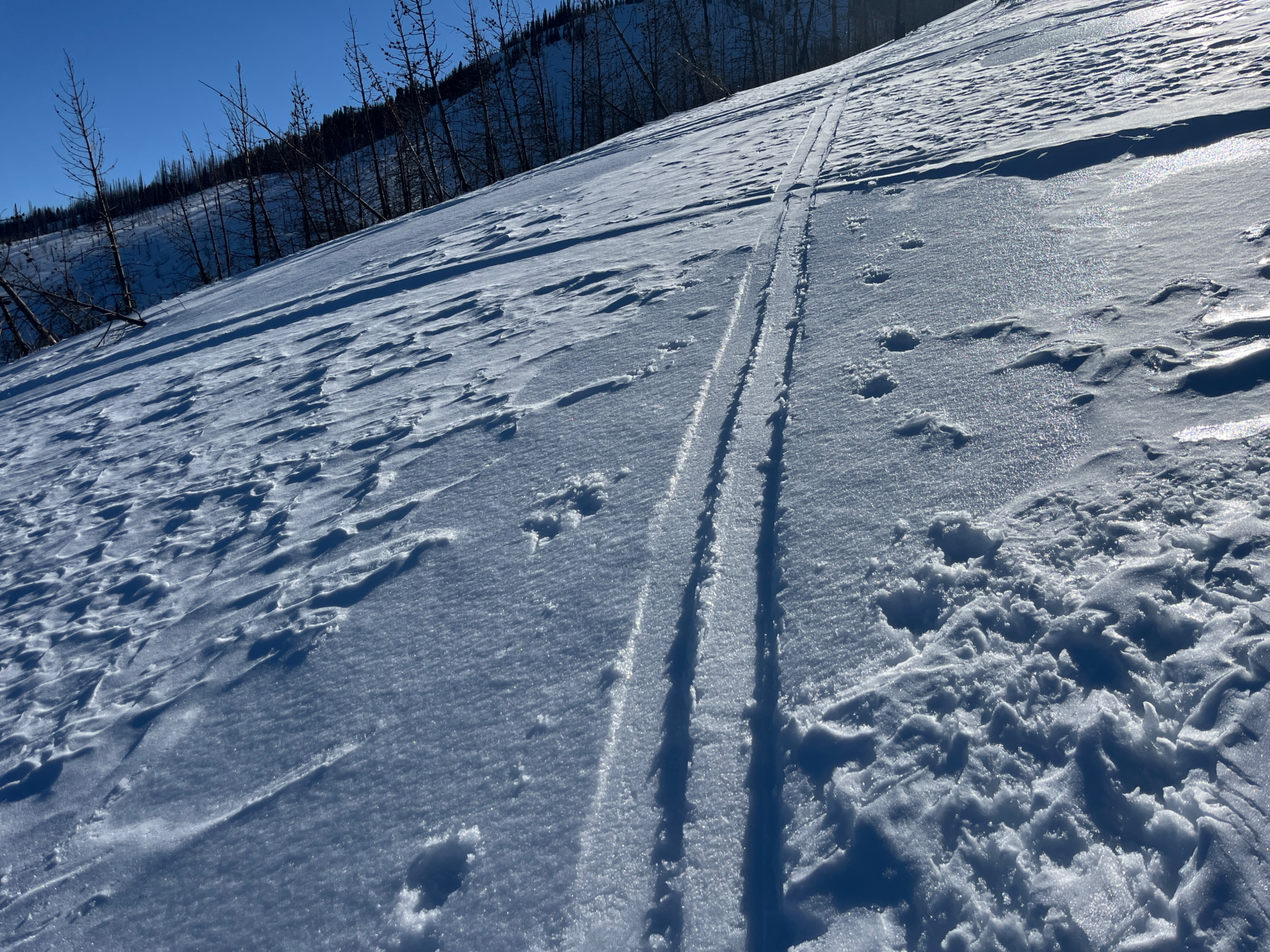
In locations observed, there is a variety of surface forms, especially at mid elevations. Shallow cold dry snow above the 2/23 rain crust on NE aspect. Diurnal corn cycle on SE. Mix of old wind effect texture that is going through melt-freeze cycles and sun crust/firnspiegel on E.
At 7300 E, Tair was 48F/8.9C, T10: -1.0C, T20: -1.5C. At 7700' SE avg HS100cm and 7700' NE avg HS250cm.
Avalanche
- Size
- D1
- Type
- SS
- Count
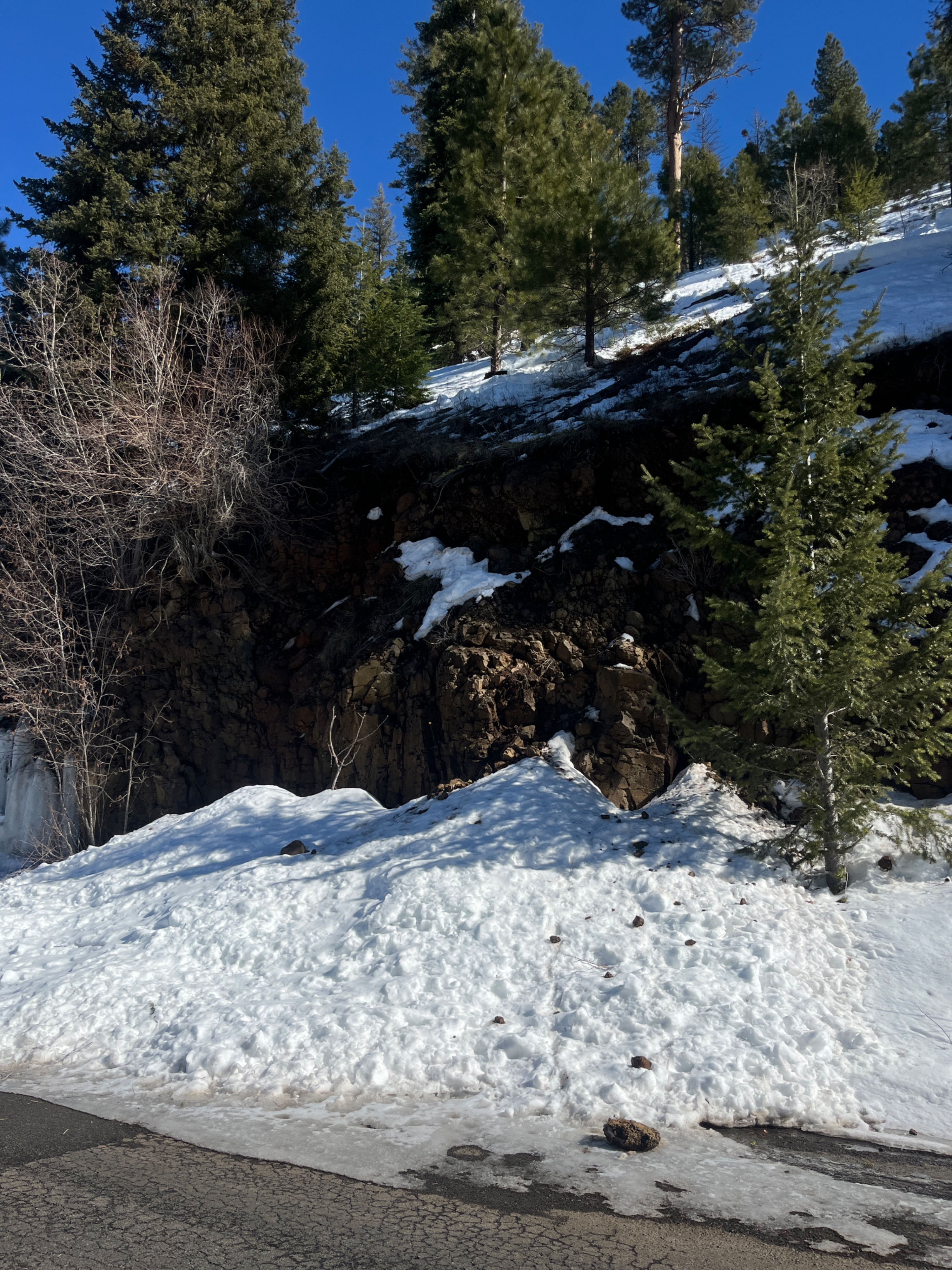
- 2
- Aspect
- W
- Trigger
- N
- Elevation
- 5400 ft
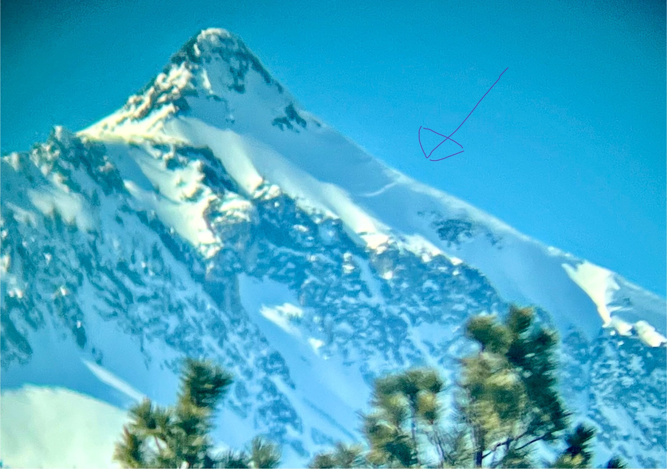
Sawtooth peak avalanche may have occurred during 2/23's loading event or during warming of 2/27 or 2/28.