
Quick report
- Aspect
- Northwest
- Red Flags
- Wind Loading, Cracking, Poor Snowpack Structure
- Elevation
- 3078 m
- Slope Angle
- 30°
- Red Flags Comment
- <p>Wind was the biggest red flag of the day with sensitive wind drifts being formed on the ridgelines and in open, wind exposed terrain.</p>
Southwest winds blowing massive amounts of snow off Long Peak.
On the wind exposed ridgelines sensitve wind drifts were common and propagating with ease.
The wind was really cranking today and there's plenty of soft snow available for transport. Wind slabs on the north half of the compass will be something to look out for tomorrow. These slabs have the potential to overload the basal facets of the snowpack either on their own or from a step down scenario if they're triggered.
The other area of concern are slide paths that released in the Christmas storm cycle. These areas are shallow and weak and will easily fail again when enough weight in put on the pack. Between today's windloading and the upcoming forecasted snow, these areas will be prime for avalanching.
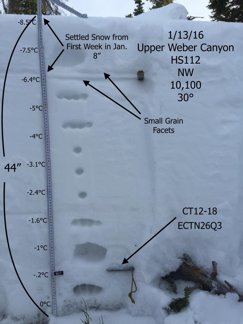
Snowpit tests still reflect the basal facets as the weakest interface in the snowpack.
Snowpack
- Instability Comment
- <p>The strong SW winds were moving the soft snow from last week into sensitive wind slabs on N and NE facing slopes. </p>
Mostly soft settled snow but in the wind zone sensitive slabs were being formed.