
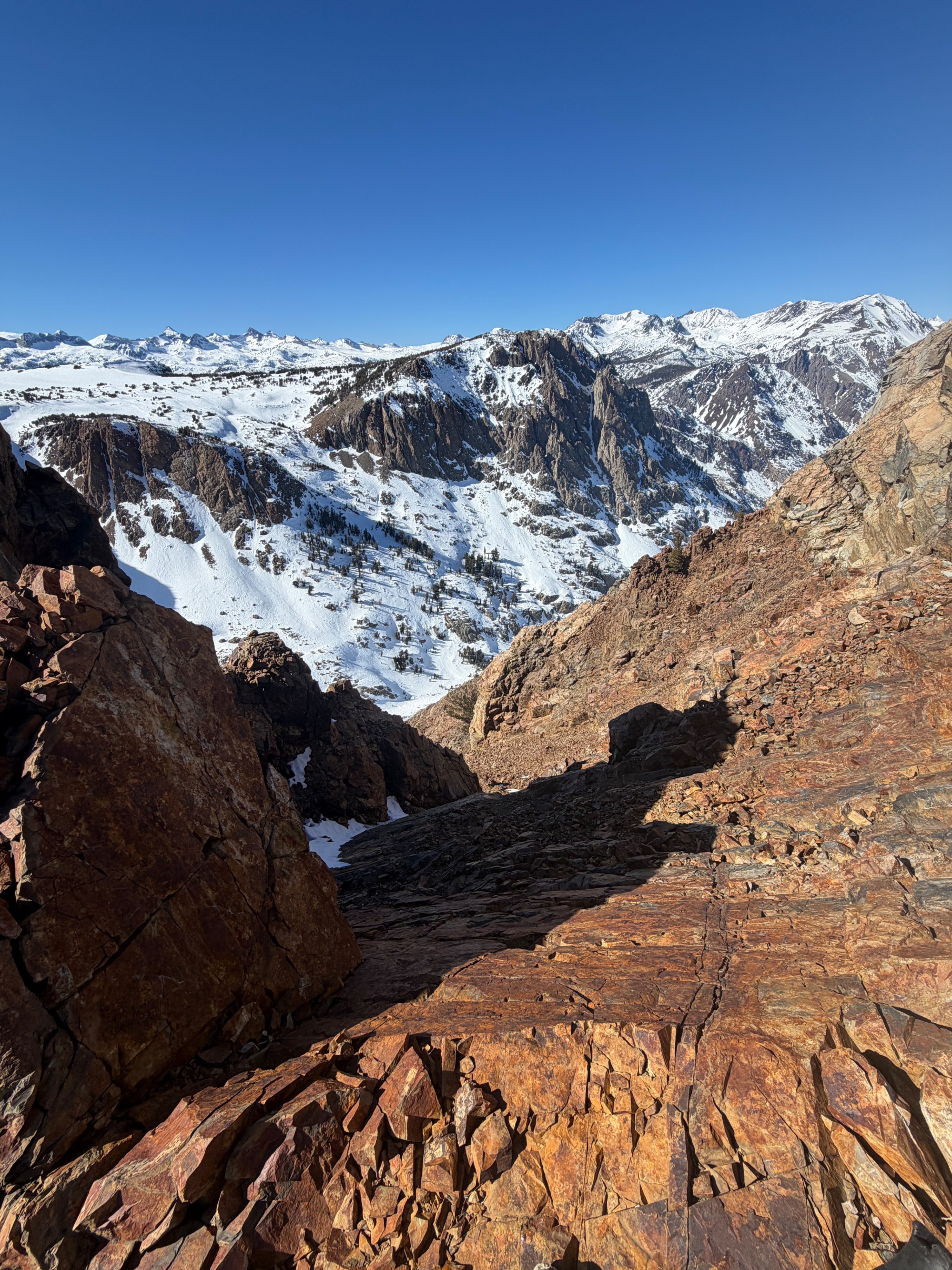
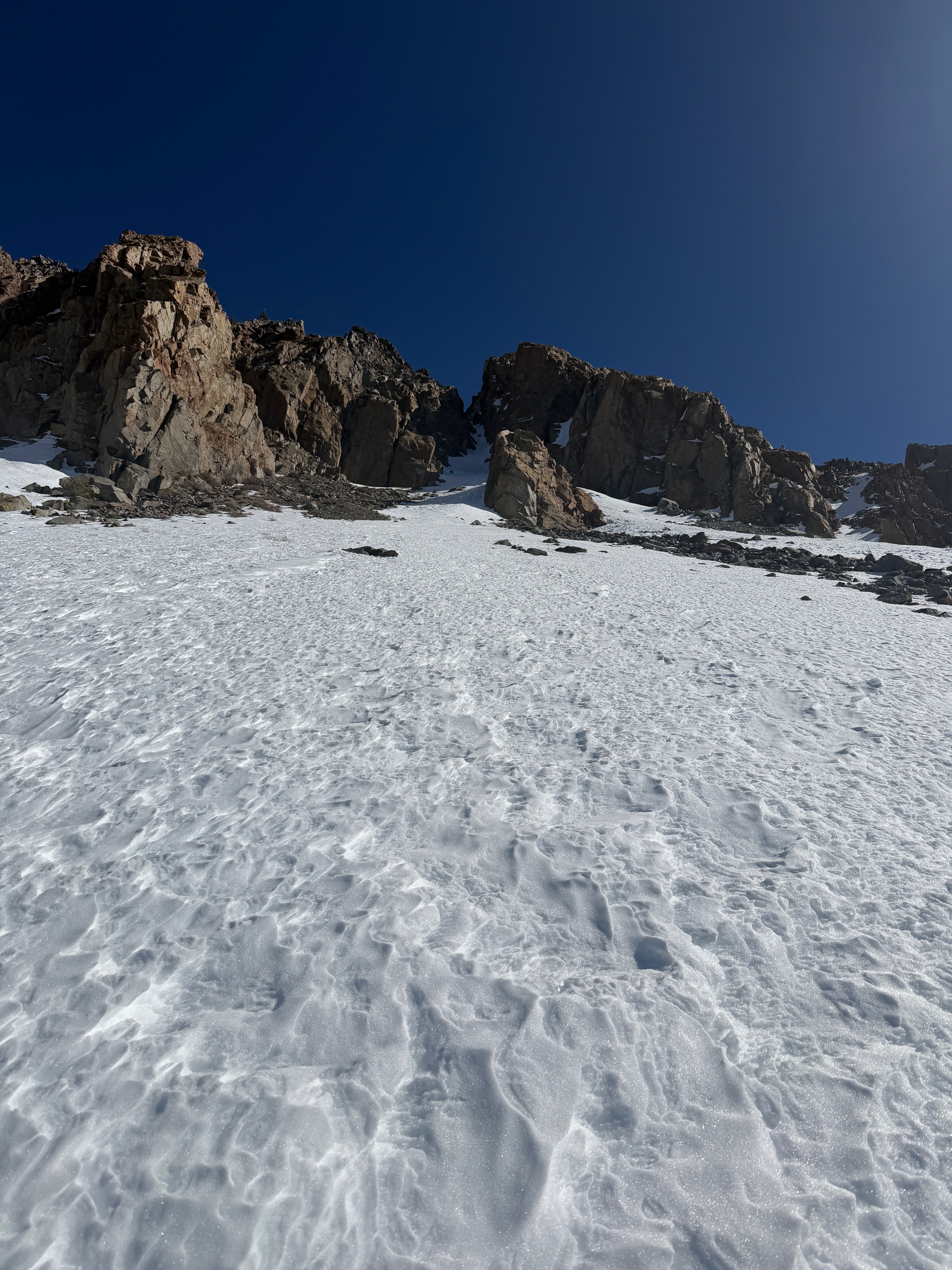
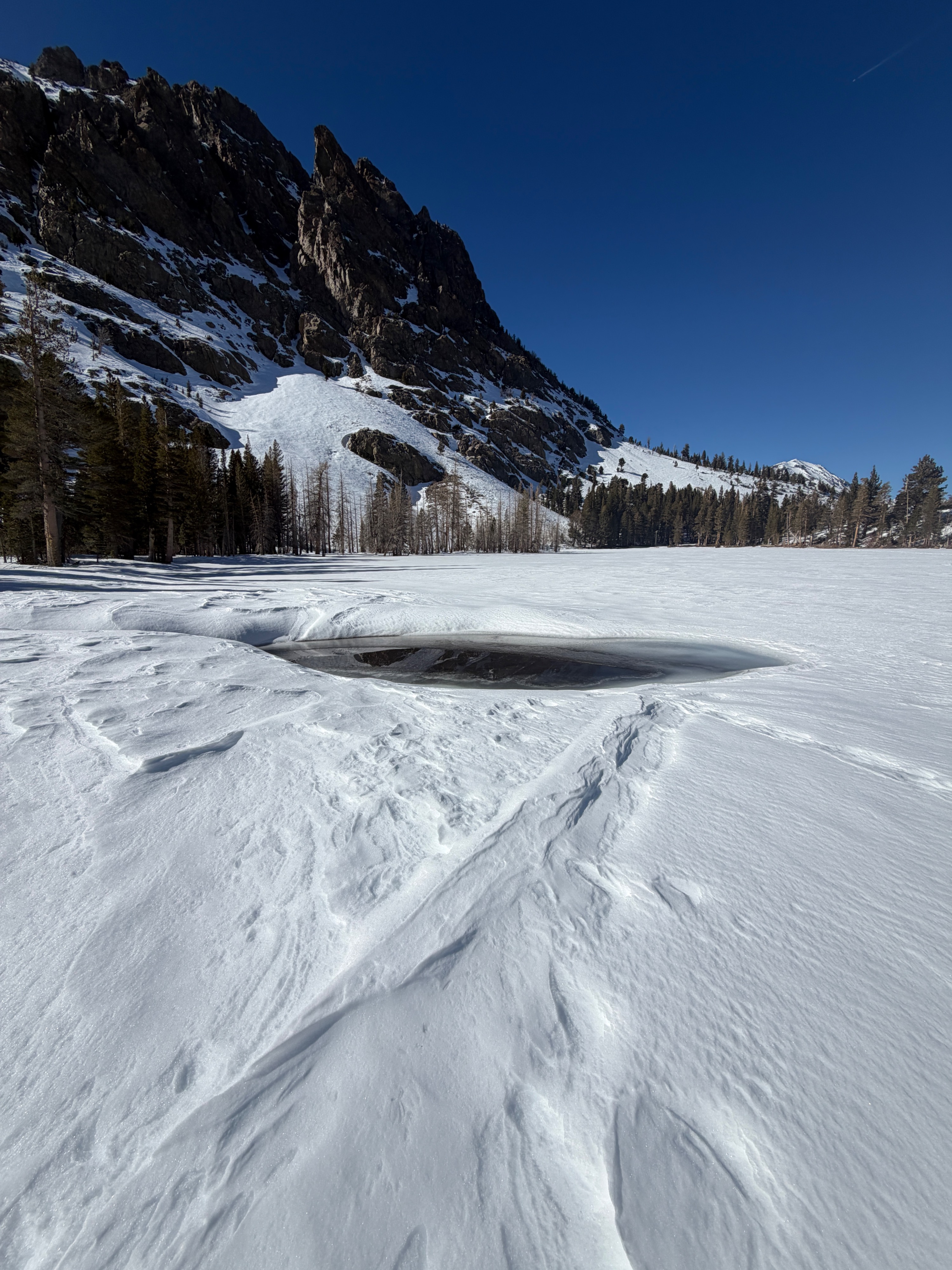
Quick report
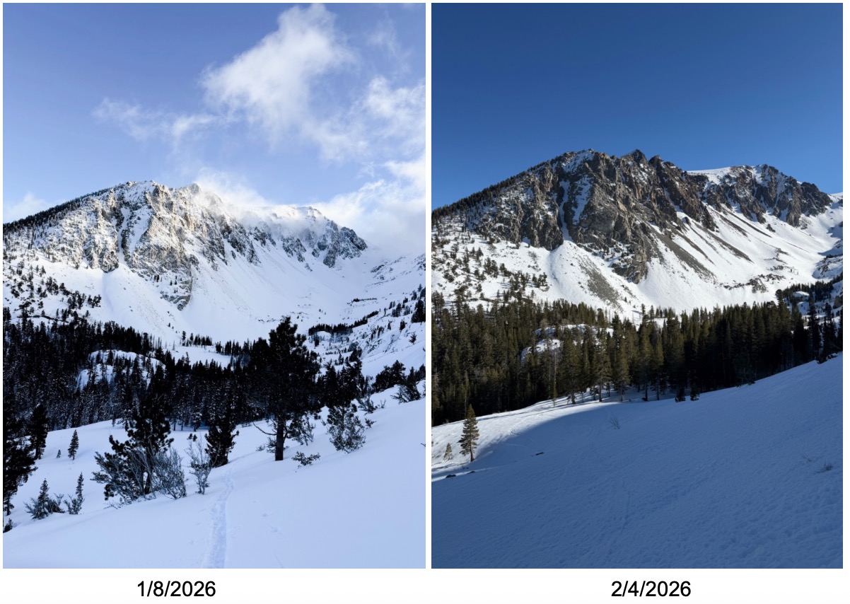
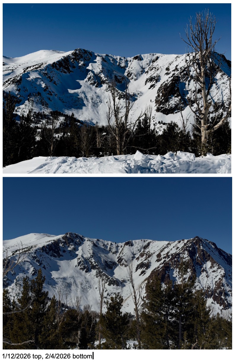
I got out today in the Yost to Fern Lake area and expected worse coverage than I actually found. The depth of snow in the June Area remains significantly deeper than locations north of June or south of Mammoth. Generally, I found our average depth of snow to still be over 100cm above 8500' on northwest, north, and northeast slopes. As you travel onto other aspects of the compass, there is a much more drastic drop in snow depth.
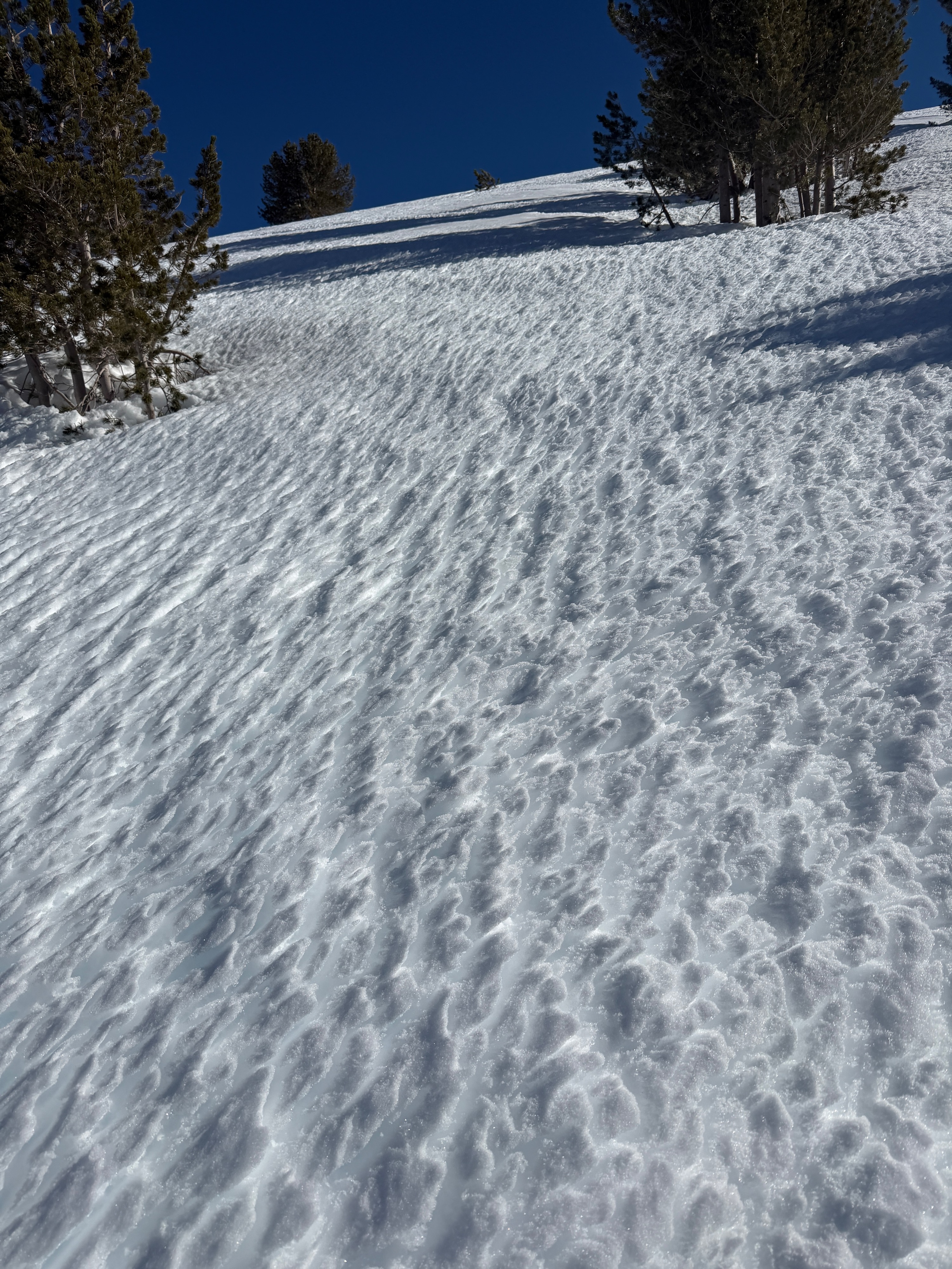
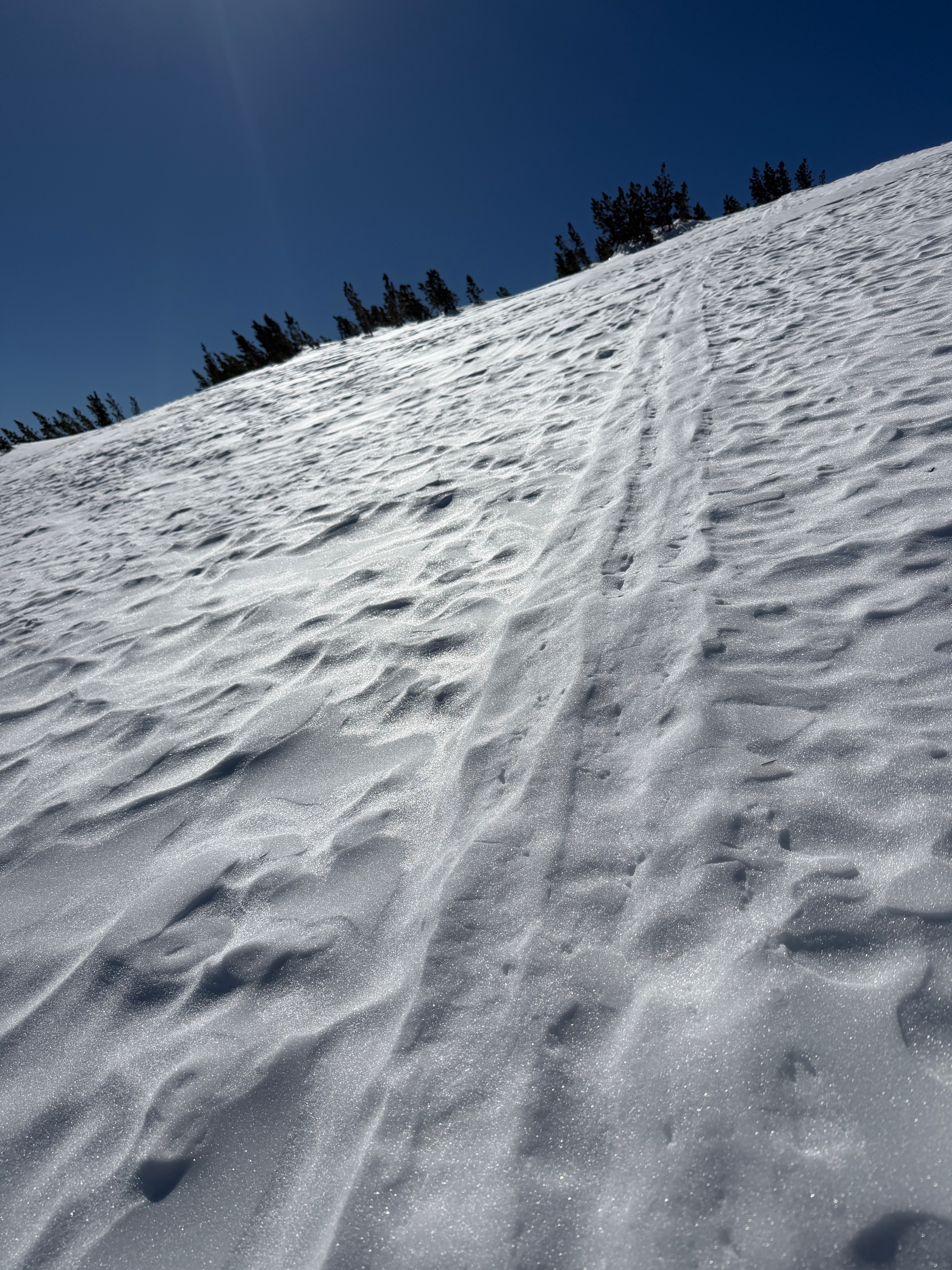
The surfaces were as variable as expected, and ski crampons proved useful today. Below 8500', a melt-freeze crust at the surface (leftover from sustained warm temperatures on 1/22-1/23) made for some very poor snow quality.
I found no signs of instability.Weather
- Air Temp
- 35
- Cloud Cover
- clear
- Wind Loading
- none
- Recent Snowfall
- 0
- Snow Avail For Transport
- none
Clear skies, calm to light southerly winds, and warm temperatures made today another beautiful day to walk in the mountains.
Snowpack
On a NE aspect less affected by the wind, at 9850' above Yost Meadow, I calculated a loss of 31.3% of our depth of snow from 1/9 to today, 2/4.
415cm, 1/9
285cm today, 2/4
130cm difference over the last 3 1/2 weeks. 31.3% loss via settlement and sublimation.