
Quick report
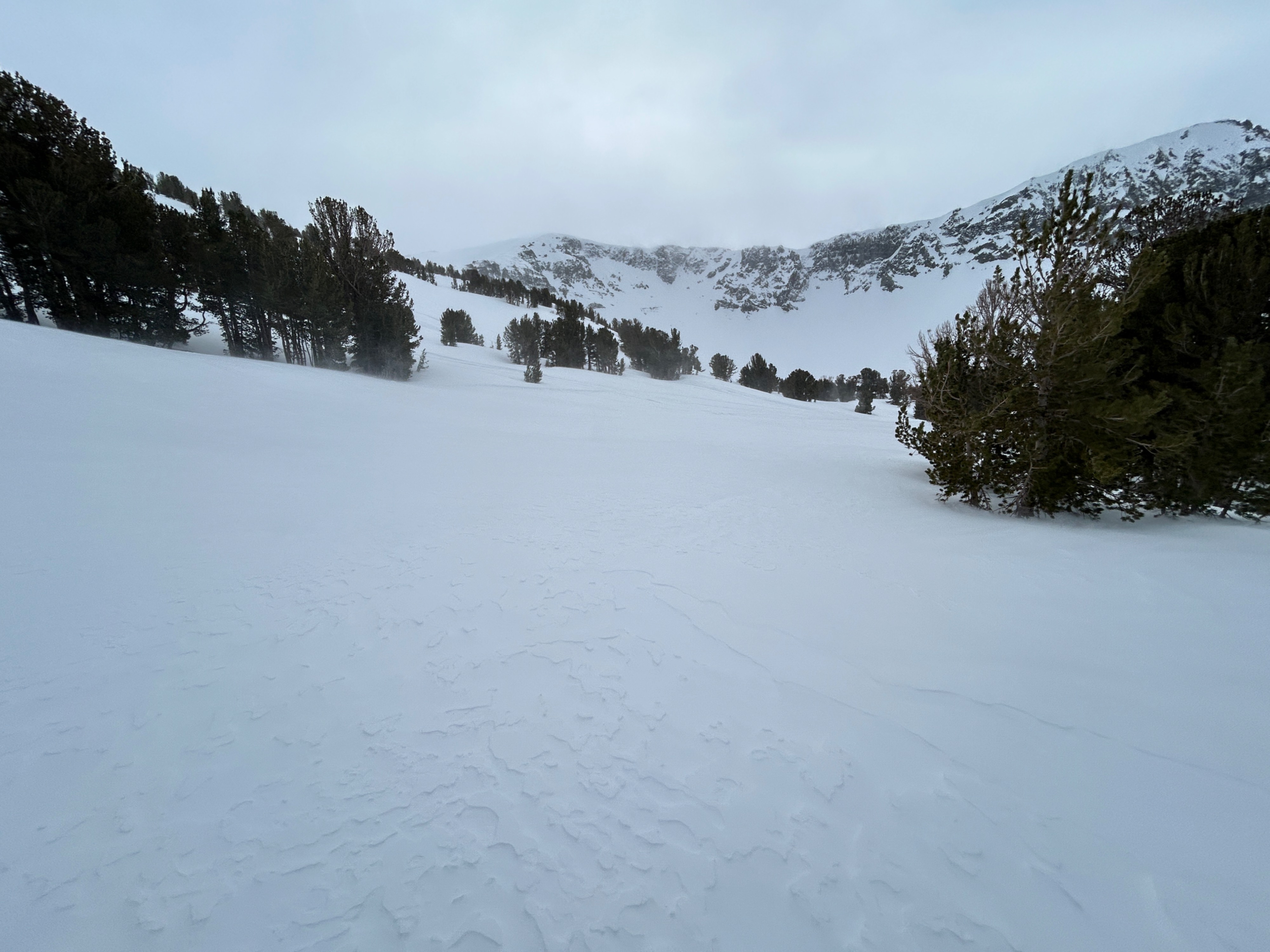
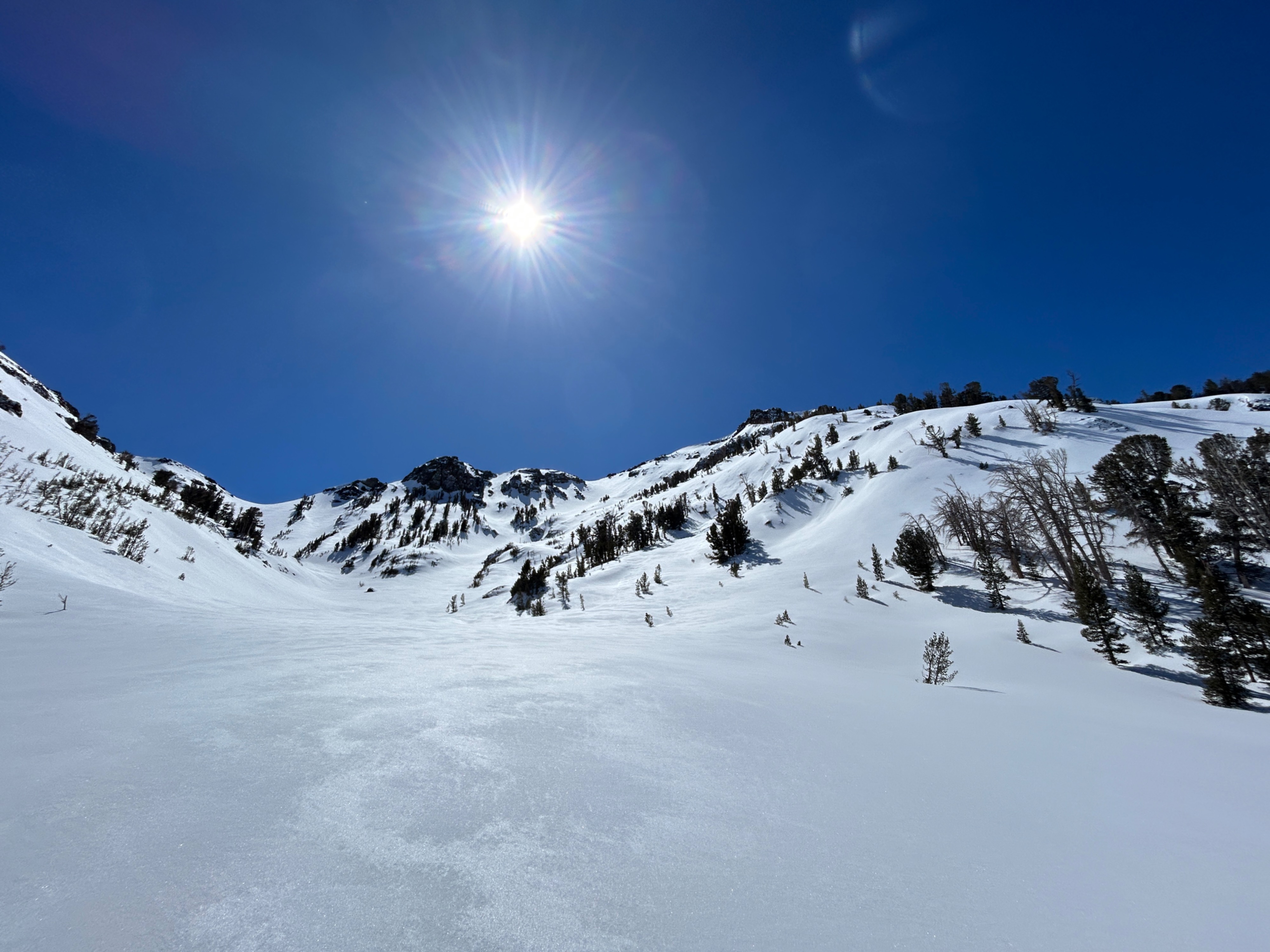
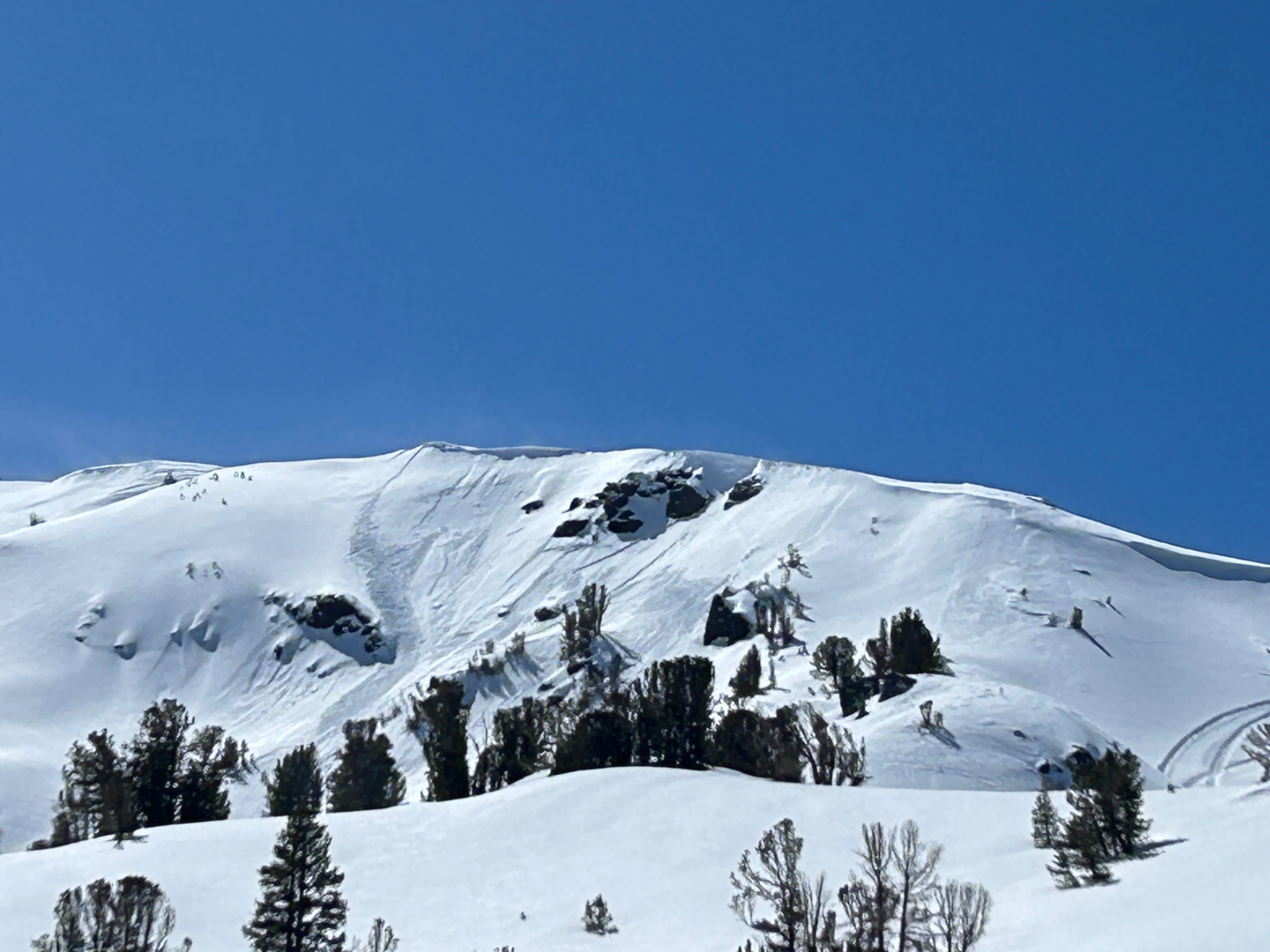
New snow consolidation. Wind transported snow in Above Tree Line zones. Cold'ish powder still found in high NTL, shaded slopes and polar aspects warming and consolidating quickly under the late, almost Spring March sun. No surfaces signs of recent slab avalanches. Continued Wet Loose formation on solar aspects as temperatures increase this week. Look for a new avalanche forecast Friday morning and through the weekend.
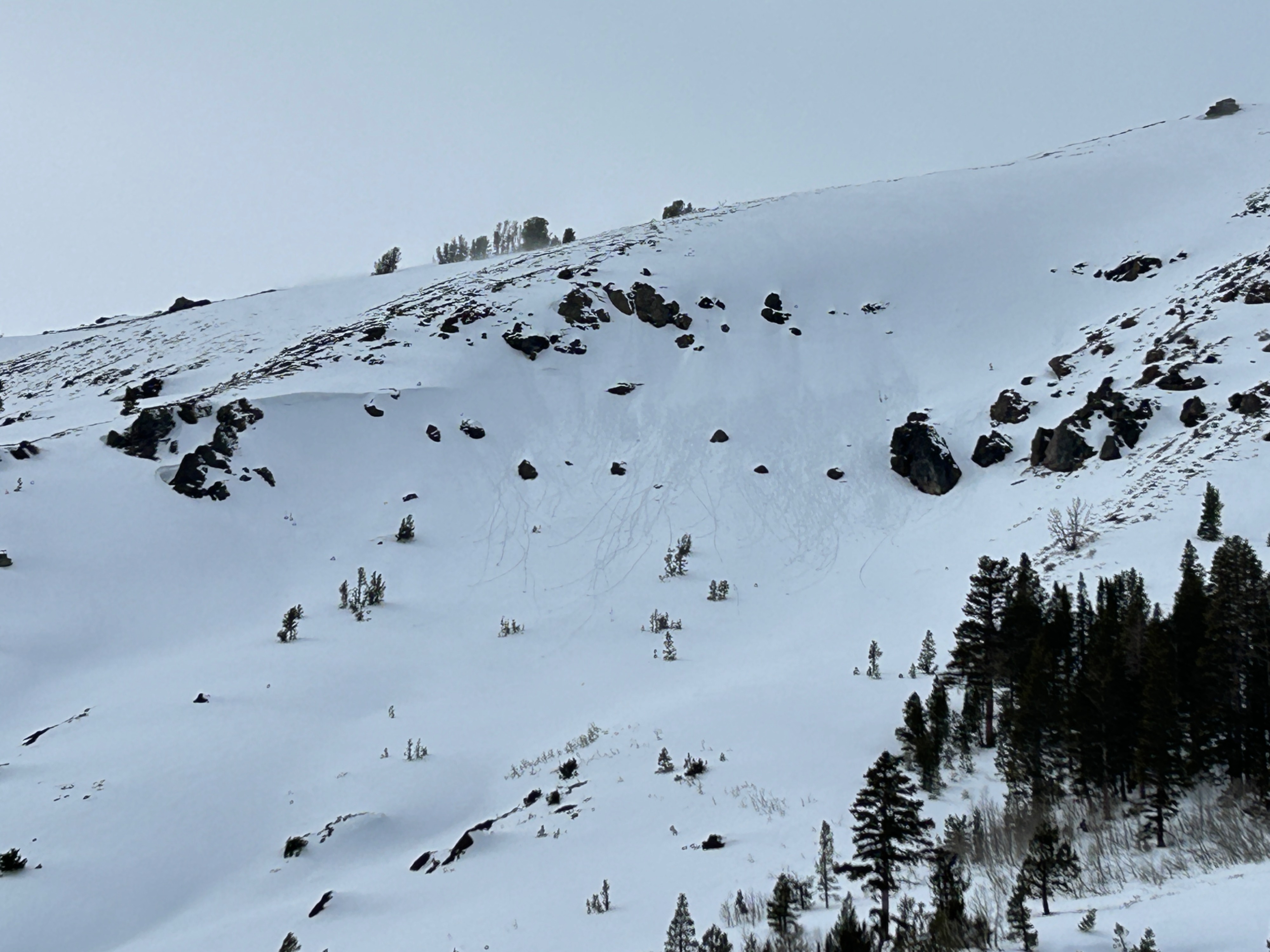
Only signs of surface instability ive seen in 2 days since new snow is, steep terrain surface sluff (dry) yesterday and todays roller balls (wet) caused from warm temps.Weather
- Cloud Cover
- overcast
- Wind Loading
- light
- Snow Avail For Transport
- moderate amounts
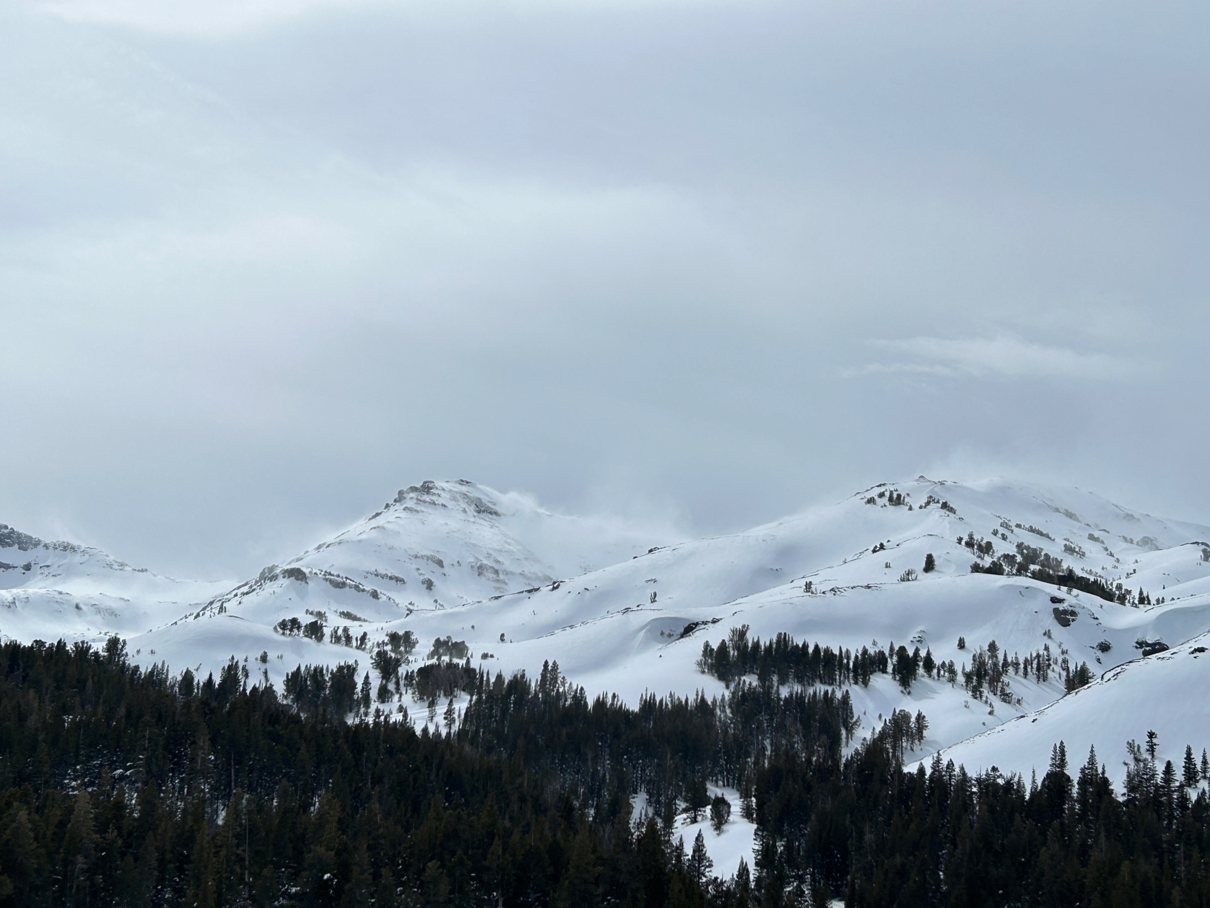
High clouds, warm temps and moderate to strong winds.
Snowpack
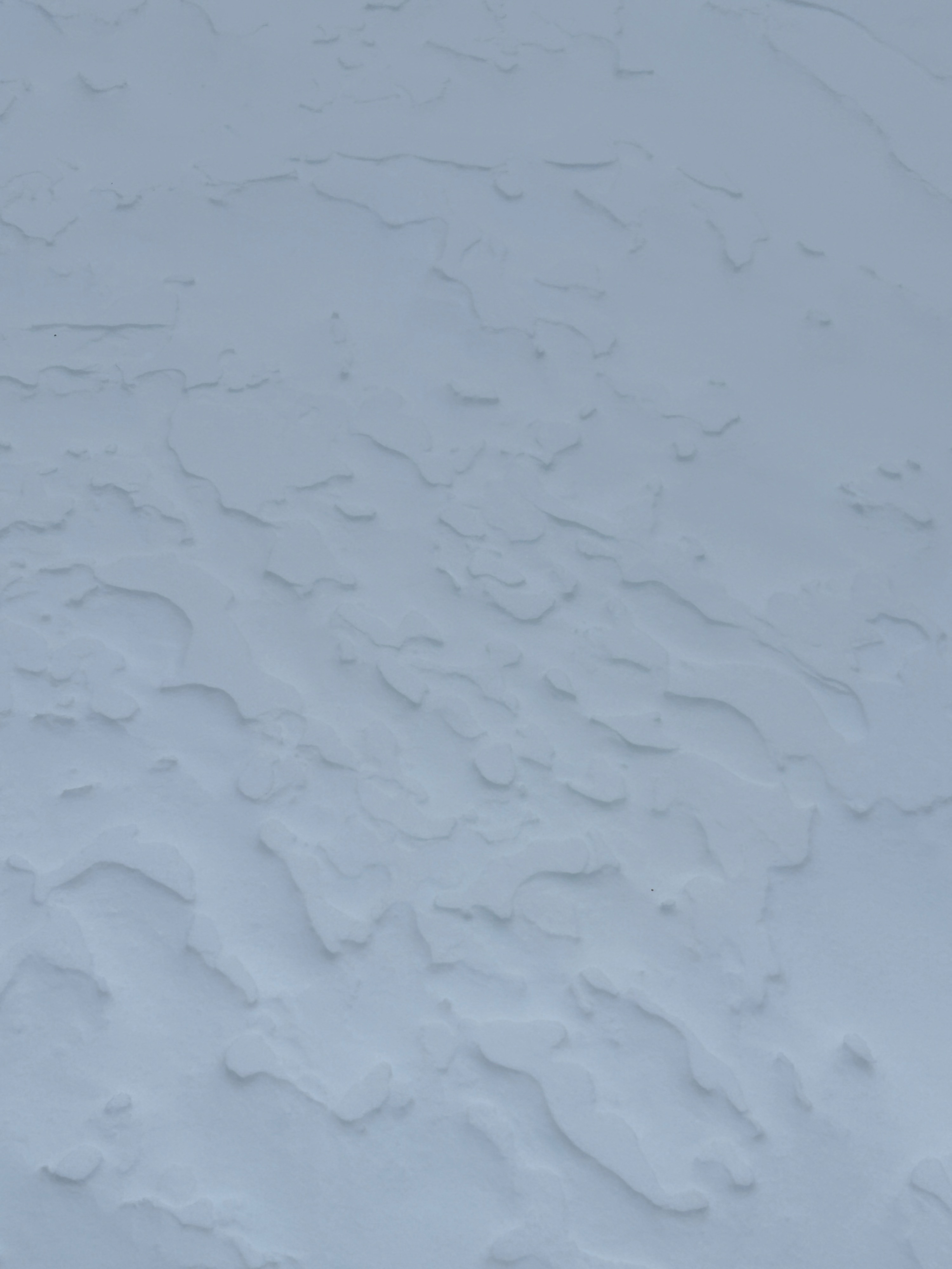
Current condtions vary from aspect and elevation. But overall new precipitation partices exist from this past weeks storm and most recent 3.13 snow fall. March solar aspects have warmed quickly and turned into melting slush to hot pow in lower elevations to polar-high aspects which are still holding consolidating powder snow. At this rate we will have melt-freeze corn snow on the solars and chalky wind packed snow in the shaded high elevations in no time. Today winds increased up high, across the ridges and small-moderate amounts of wind transported snow was visible. Most sun exposed east and south faces were riddled with evidence of new roller ball formation, especially near dark rocky terrain.
Avalanche
None observed besides evidence already mentioned.