
Quick report
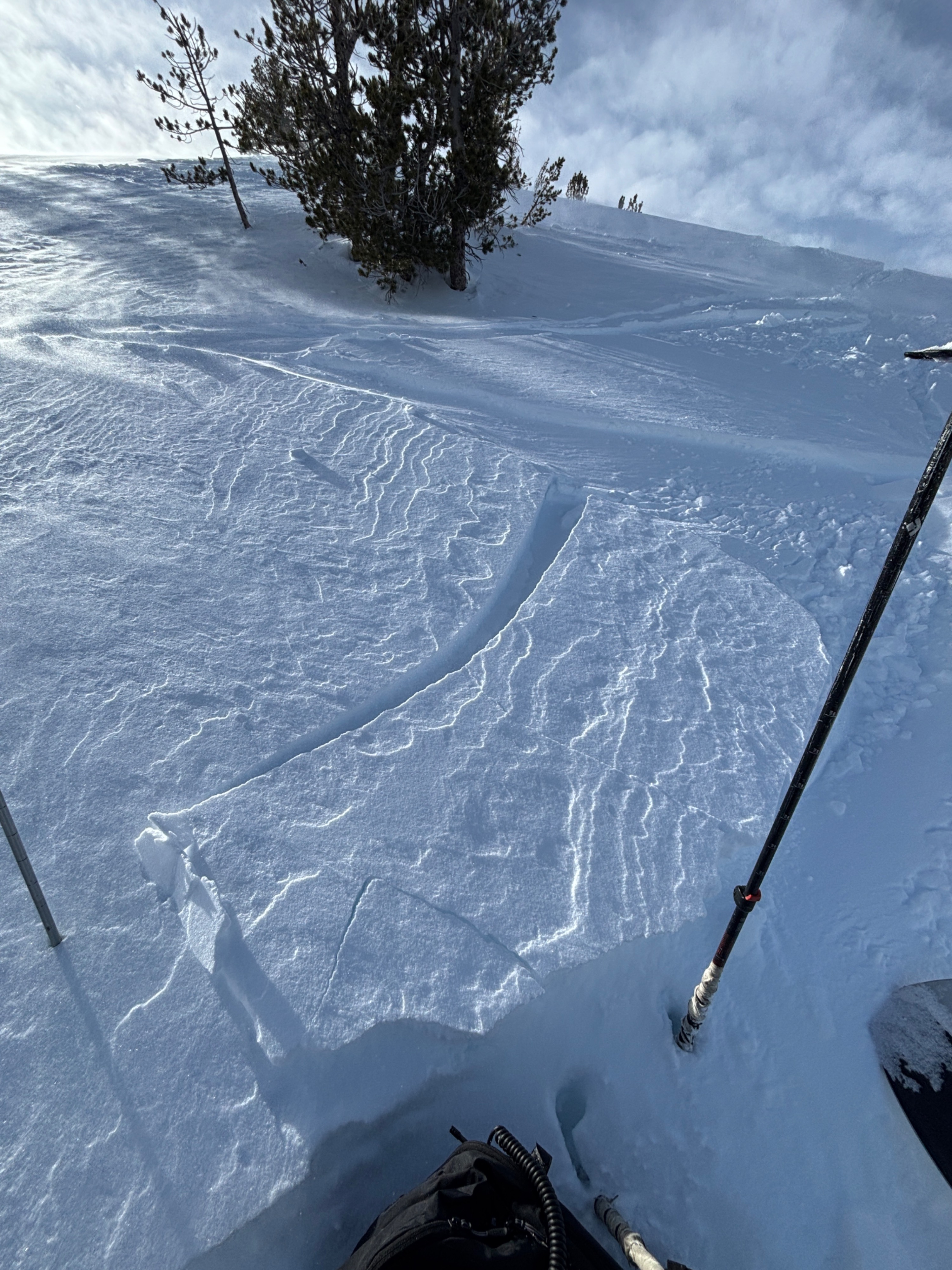
- Cracking
- isolated
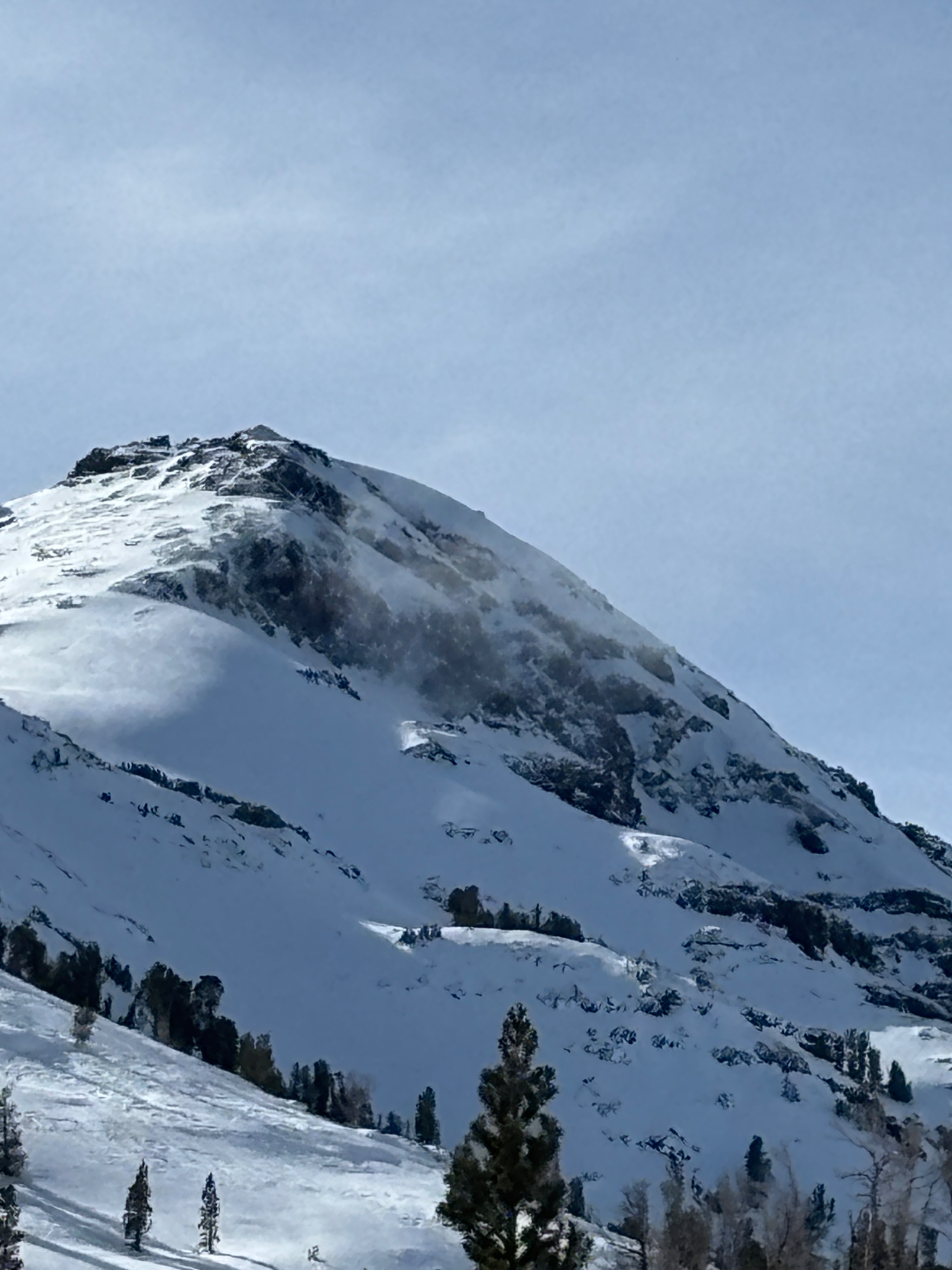
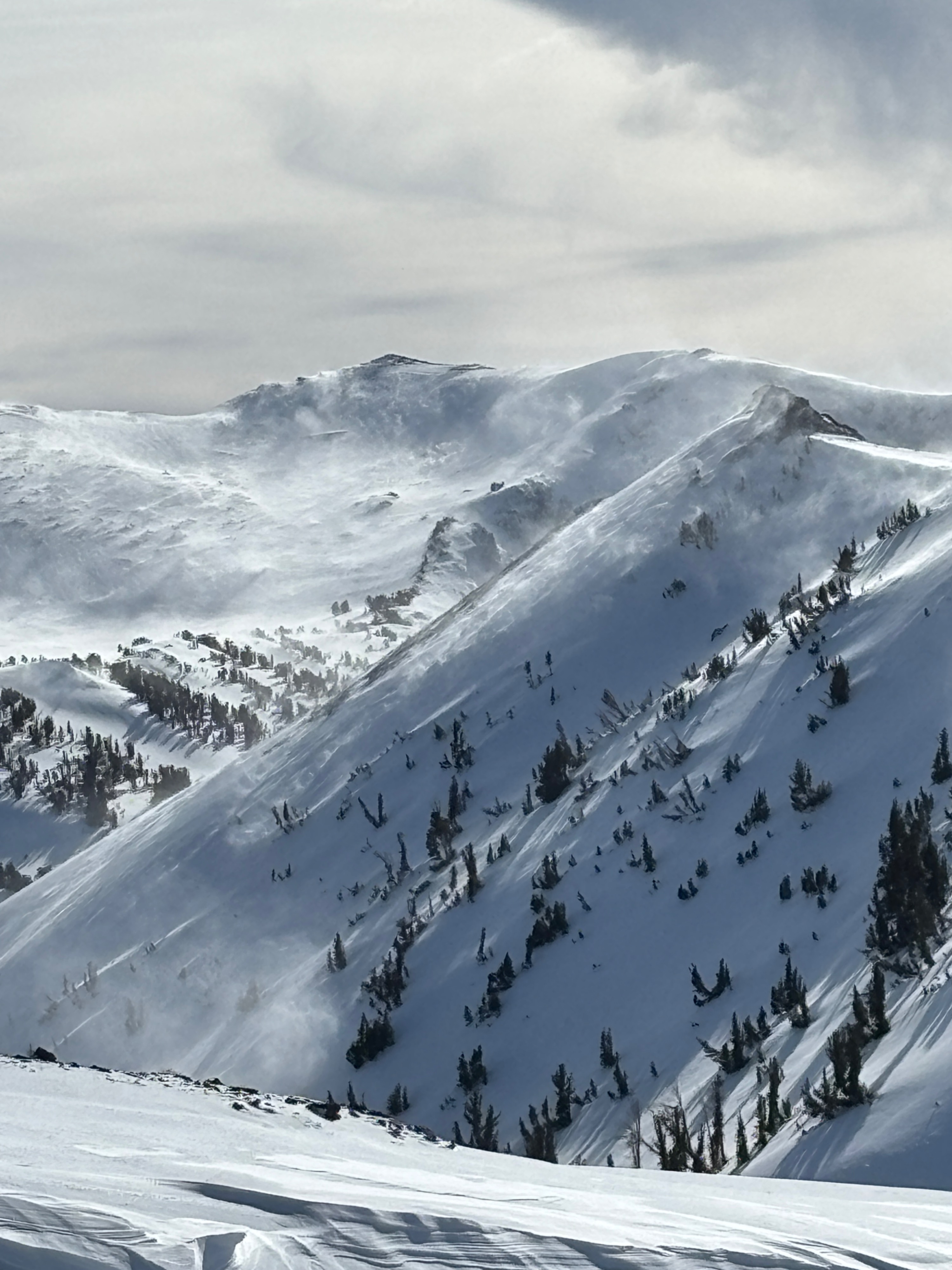
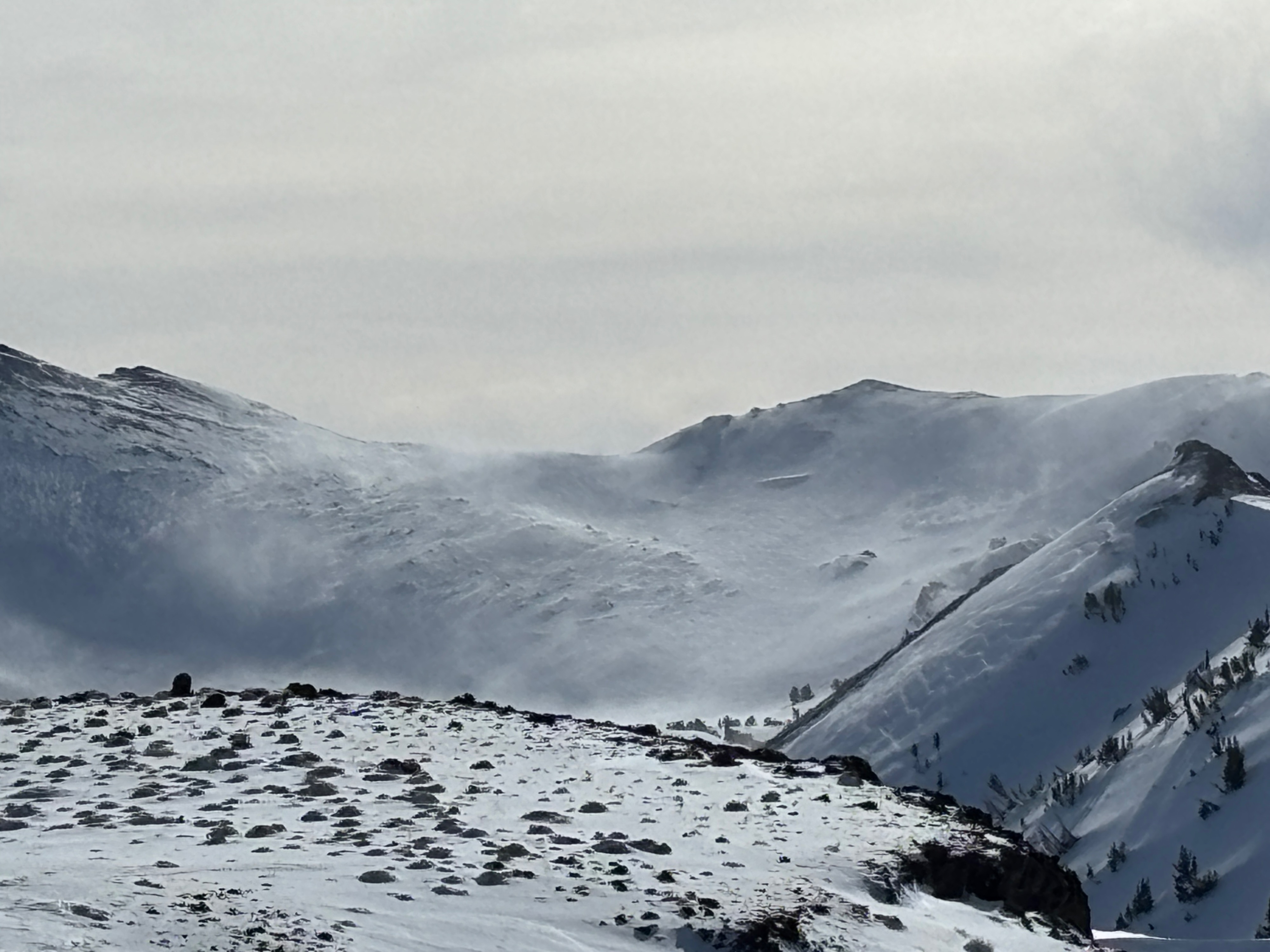
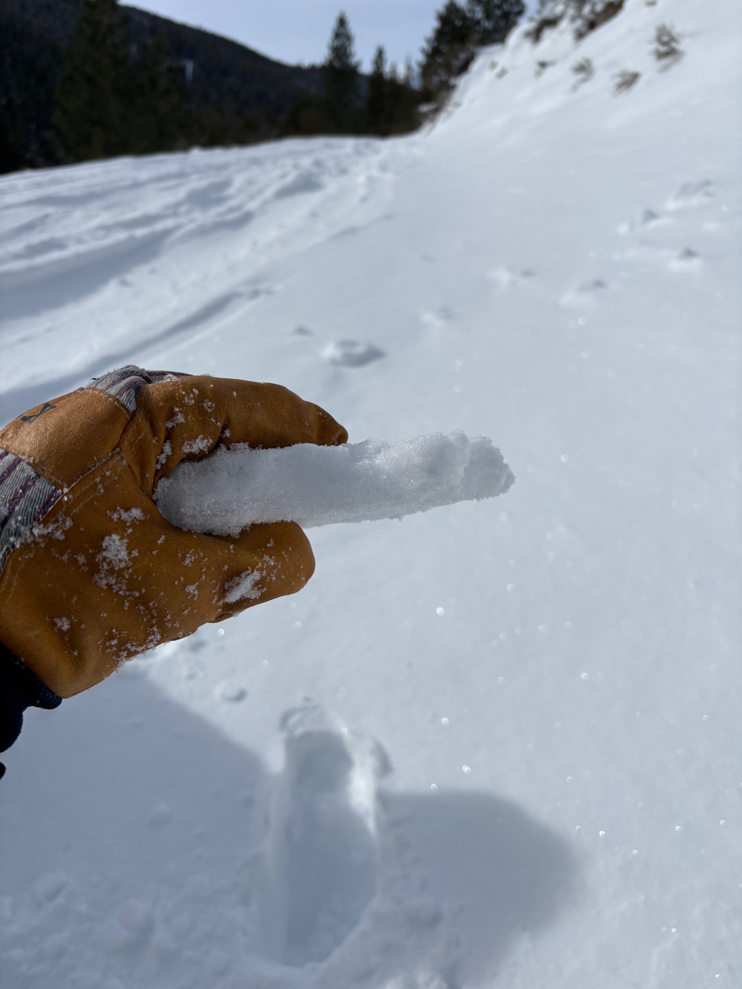
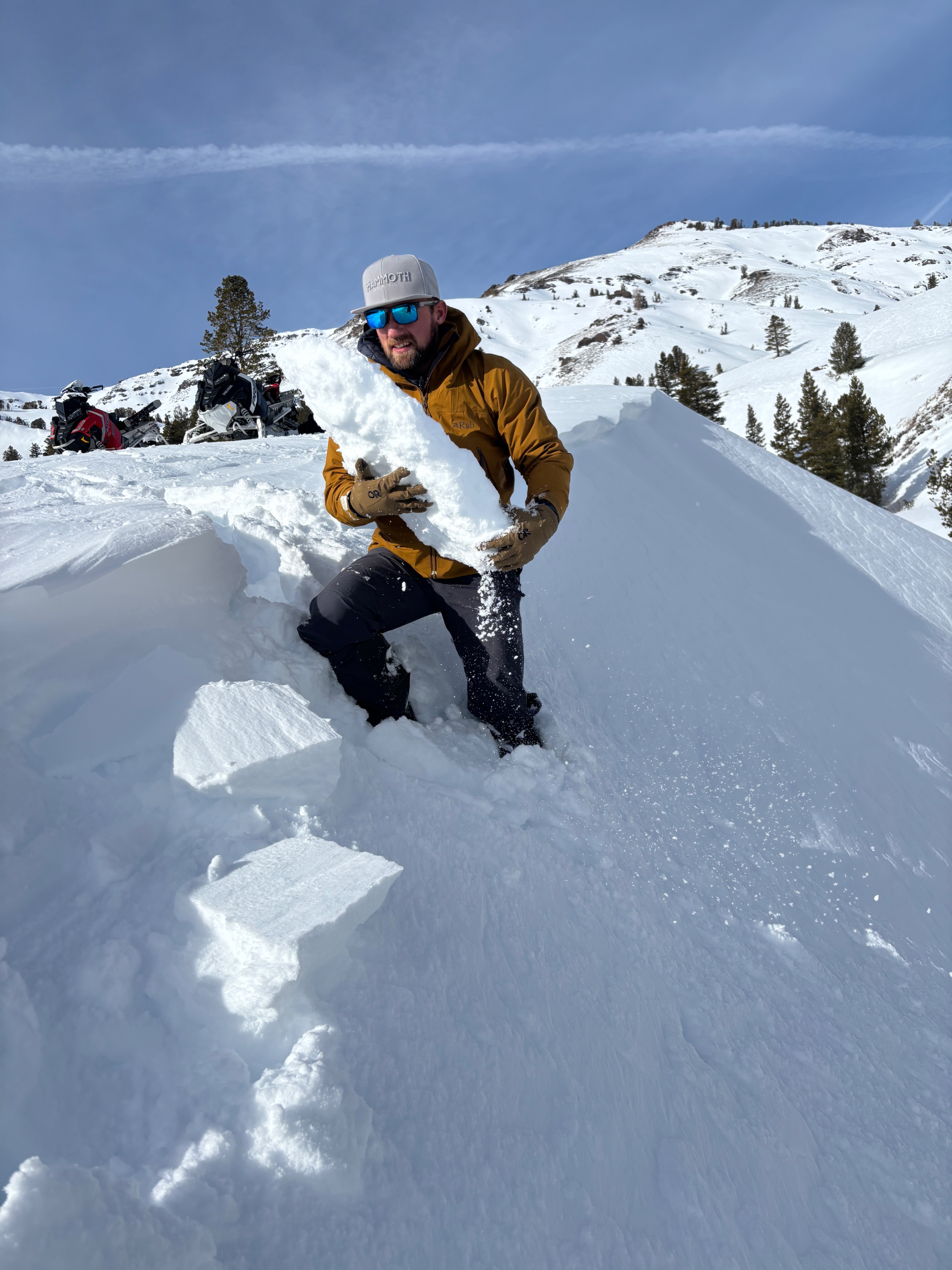
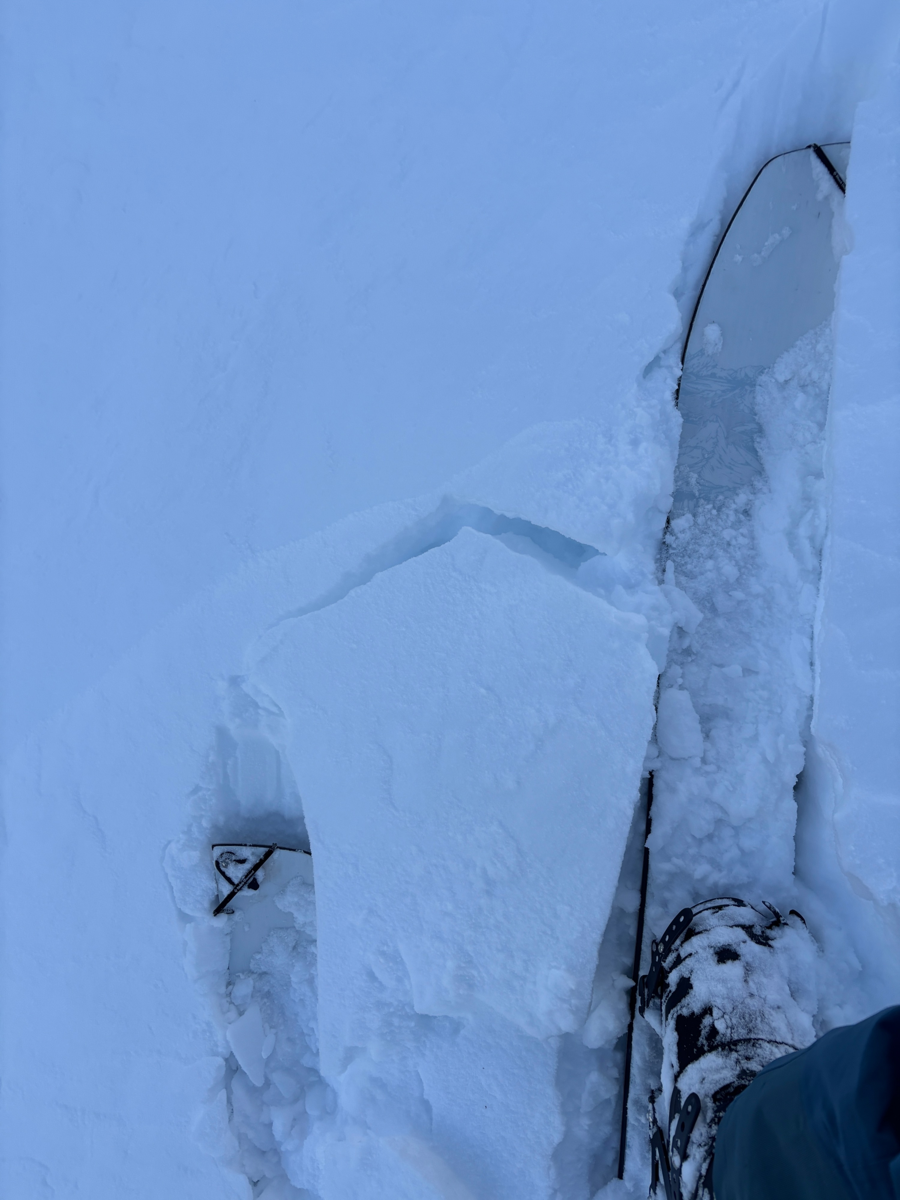
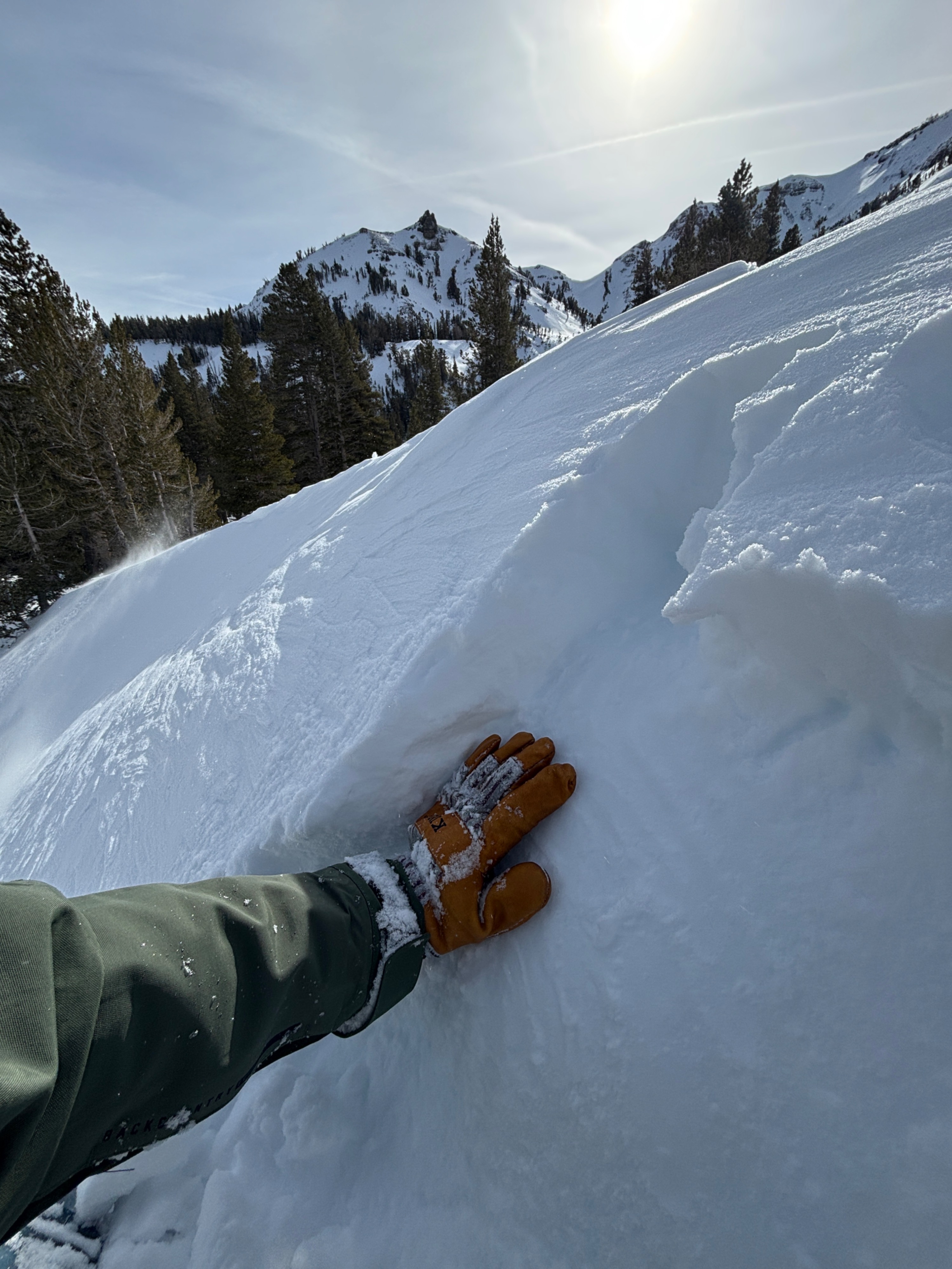
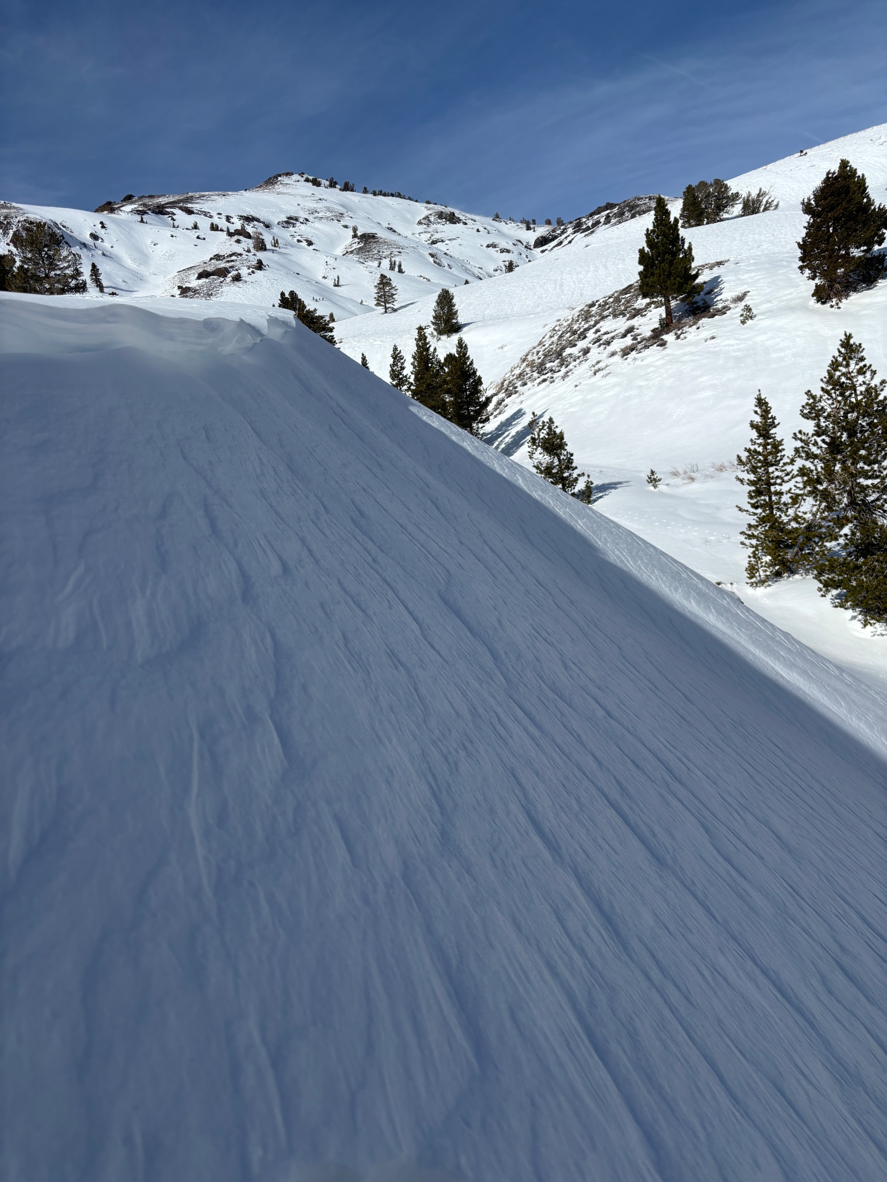
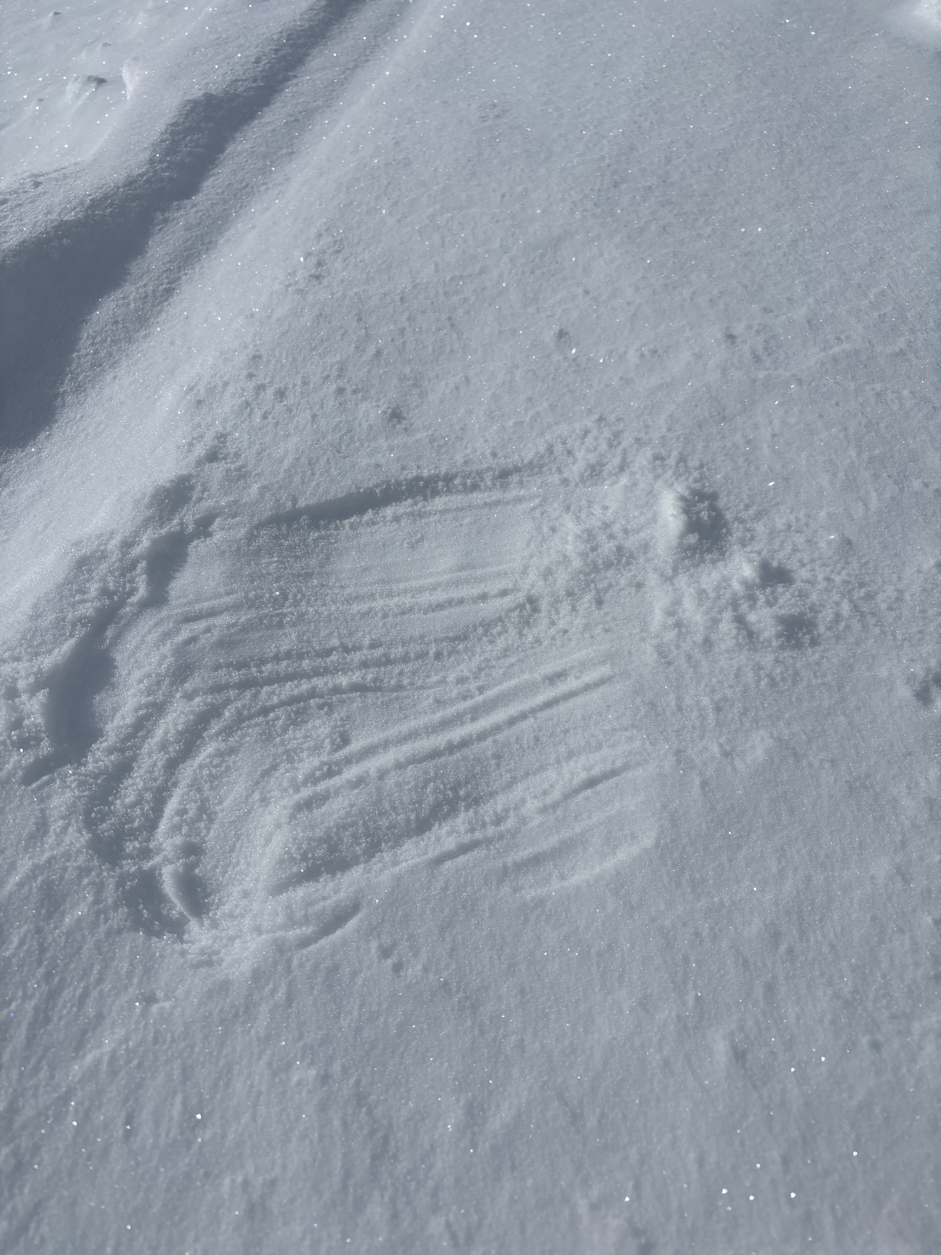
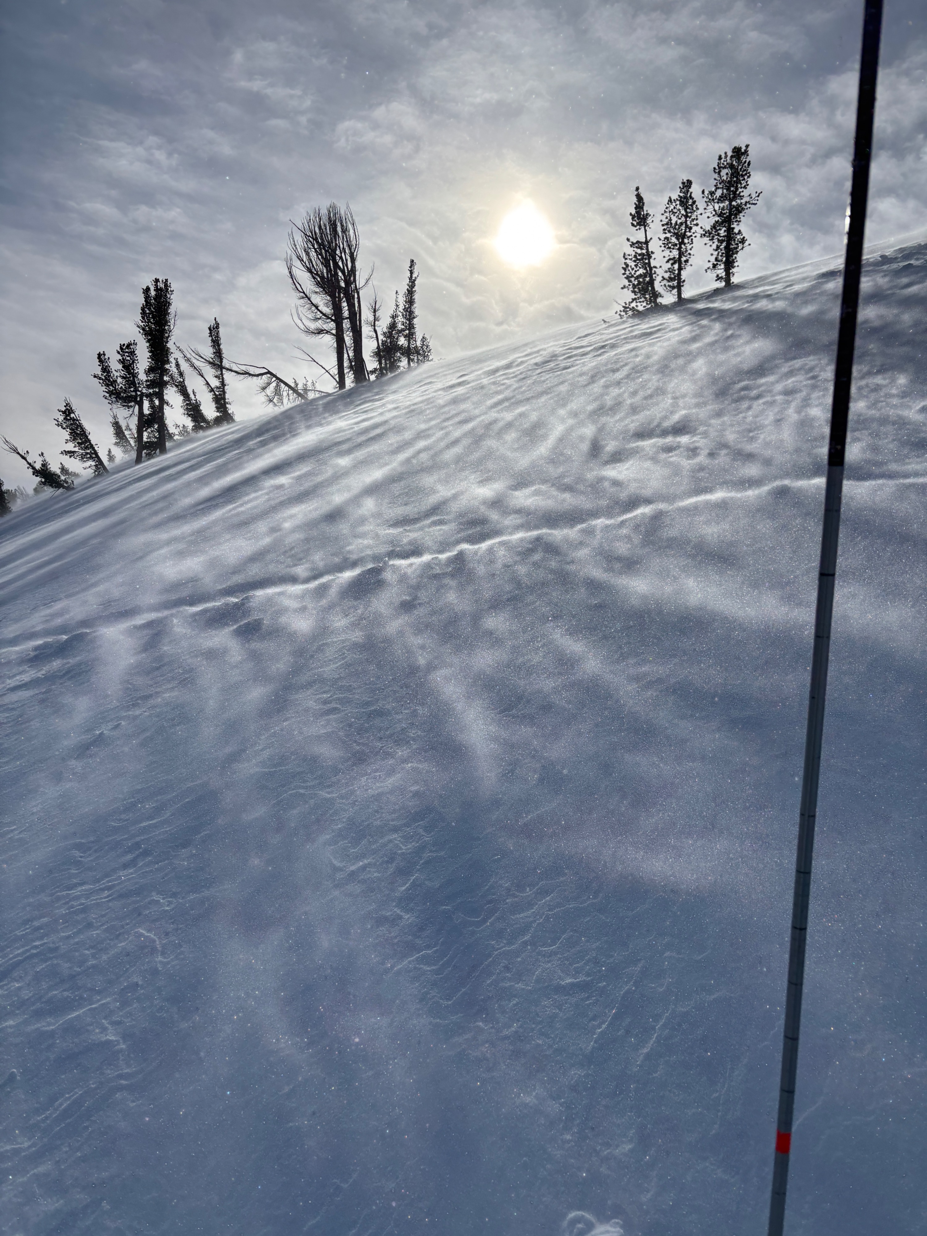
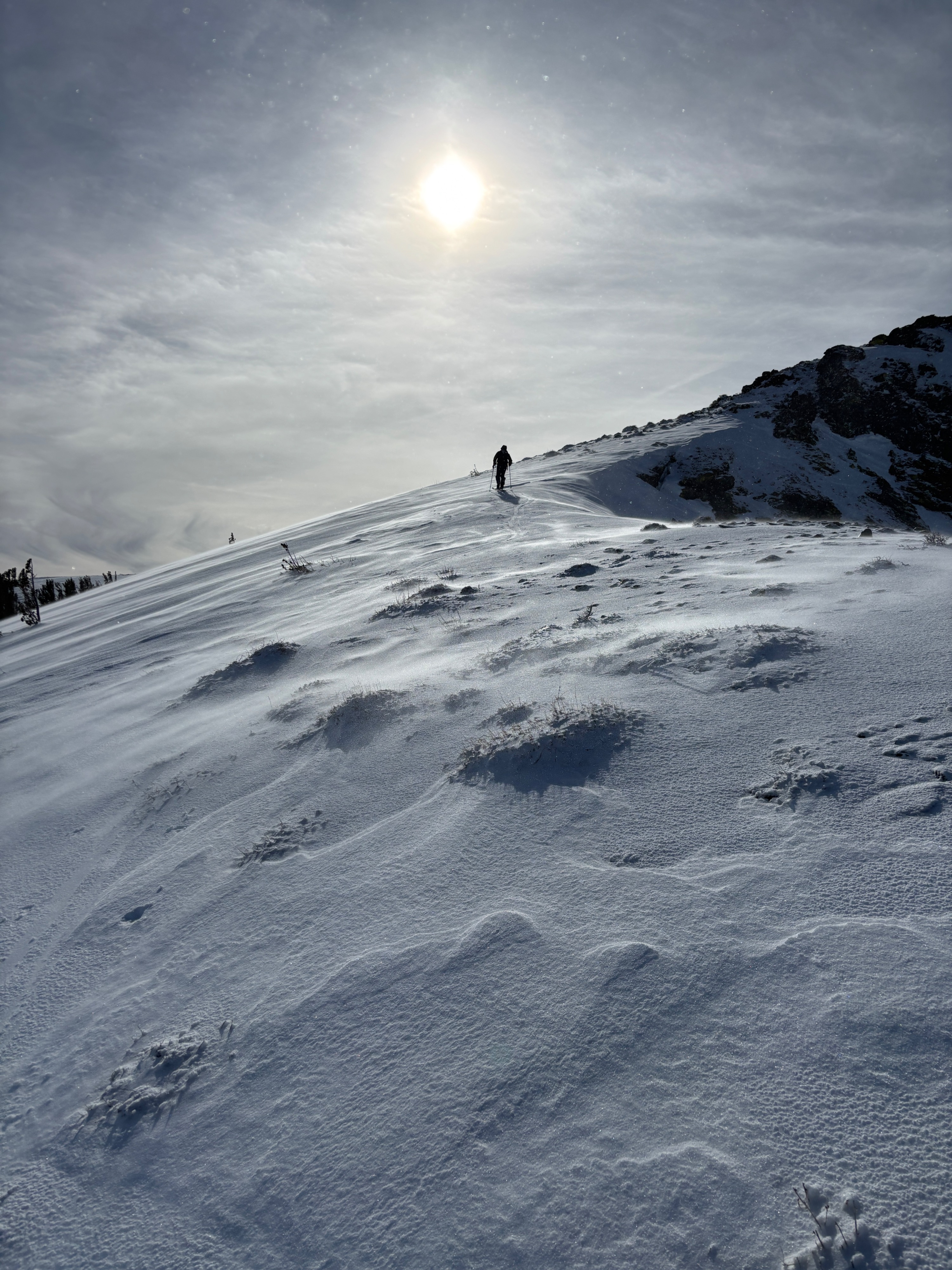
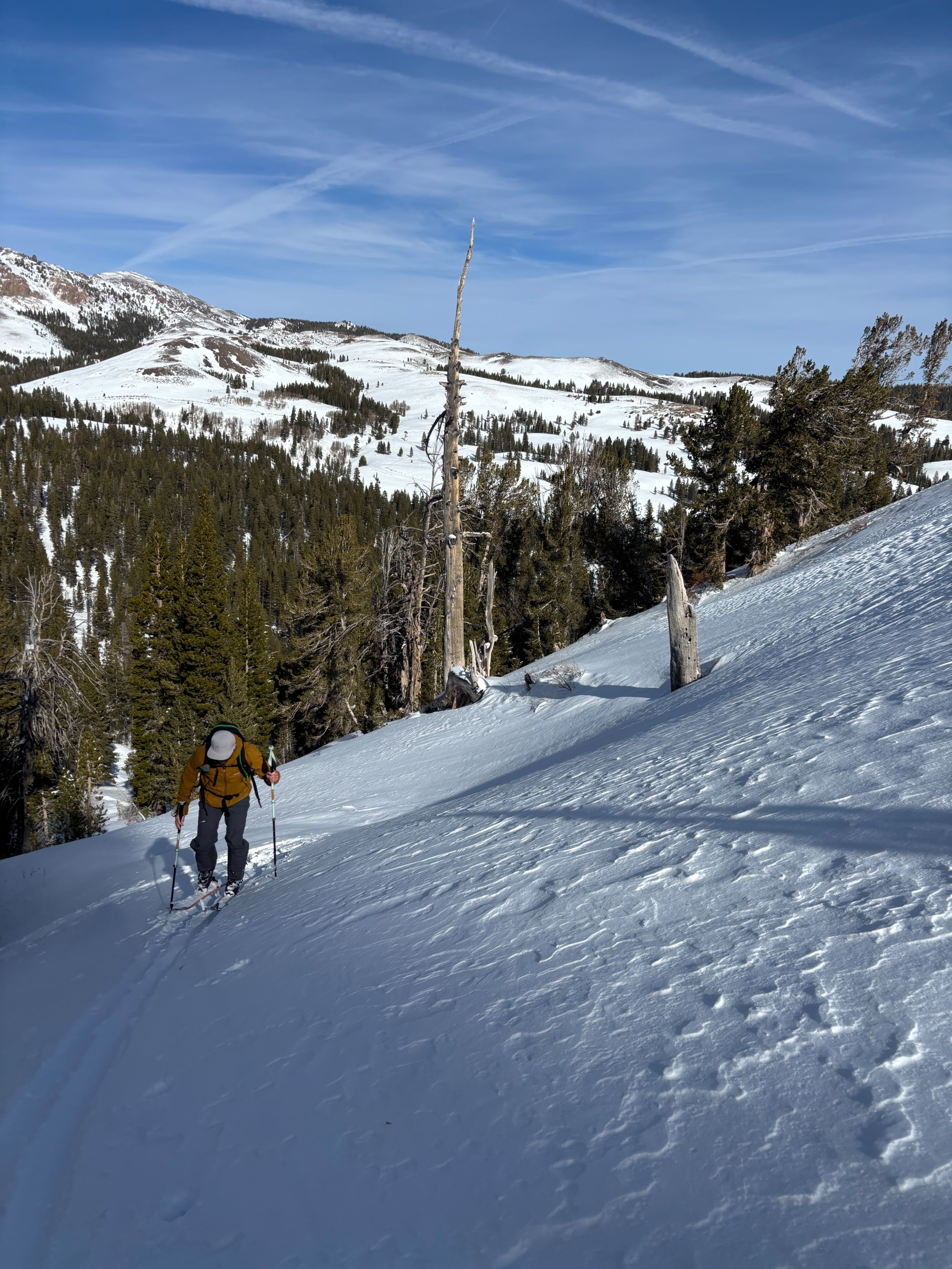
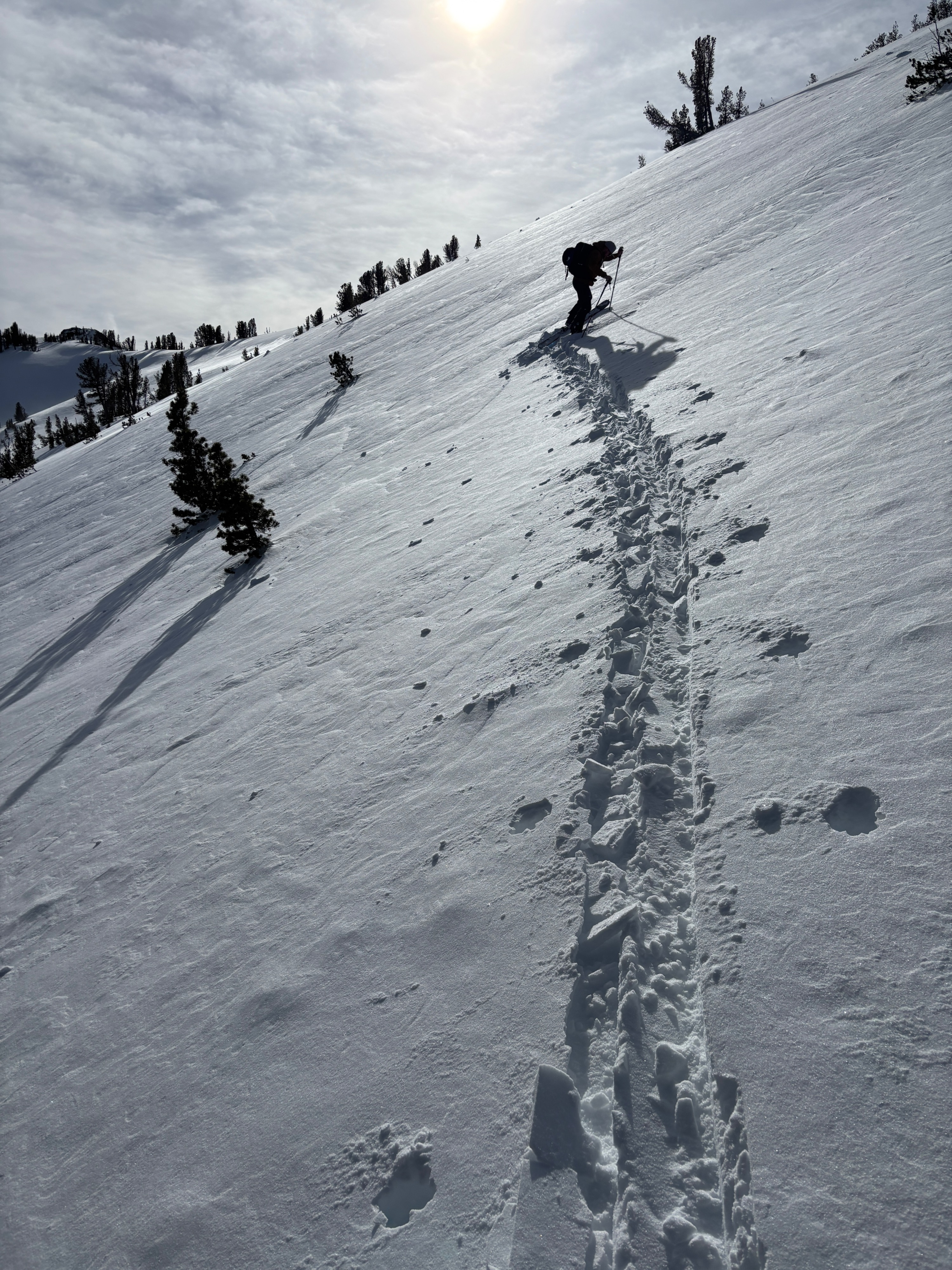
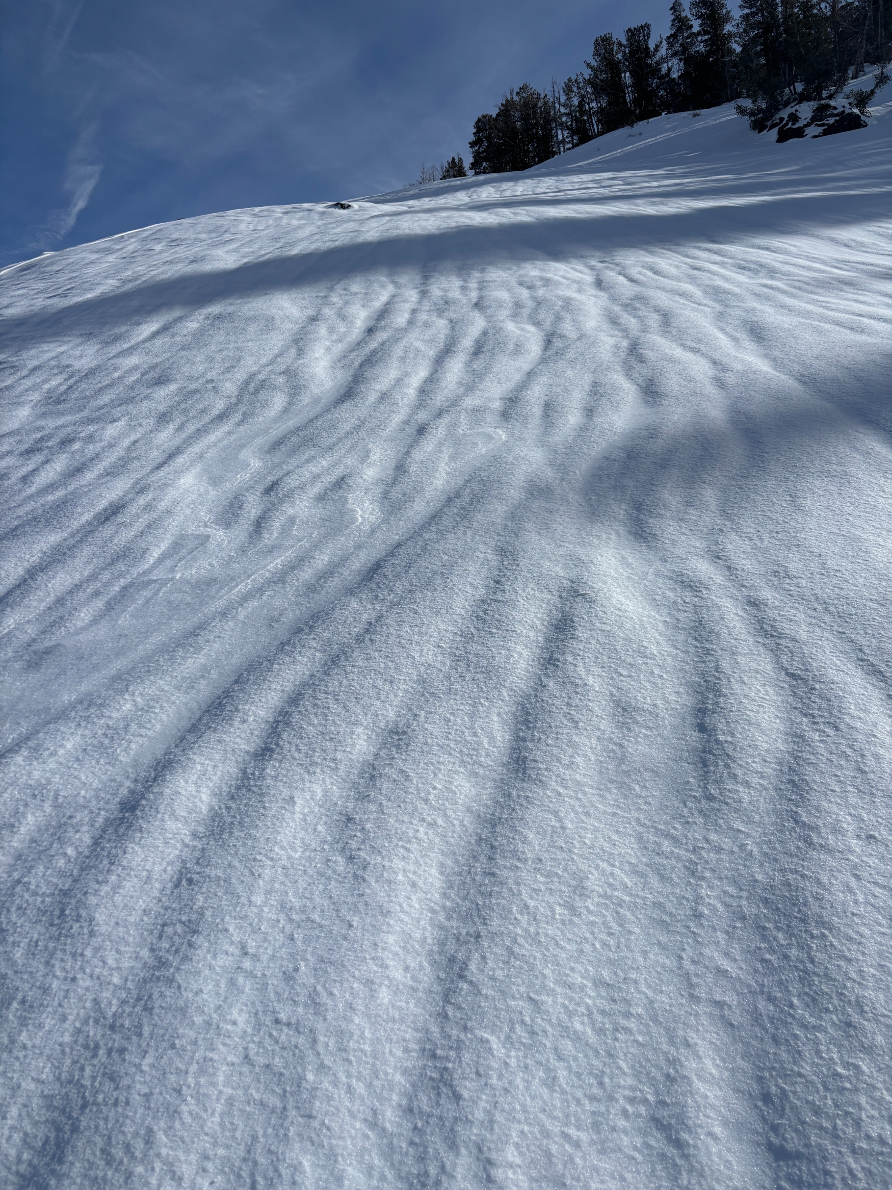
Today we went into the field for 2 objectives. #1 Verify the wind slab problem in the forecast and #2 continue to investigate the Deep persistent slab problem. Yesterday's Rain and subsequent refreeze made for firm conditions today. The only amount of soft snow we were able to find was on Lee aspects where we had forecasted for wind slab problems. Wind drifted snow collected in sheltered terrain forming wind slabs with a rain crust under the surface. The slick rain crust acted as a bed surface as wind slabs were easily ski cut on test slopes. We stayed near the tree line so we could reduce our exposure to strong SW winds on the ridge line. From our vantage point we could see significant blowing snow in the alpine near Leavitt Lake and Big easy. Seeing actively blowing snow and finding wind slab problems I felt confident we completed the first objective for the day.
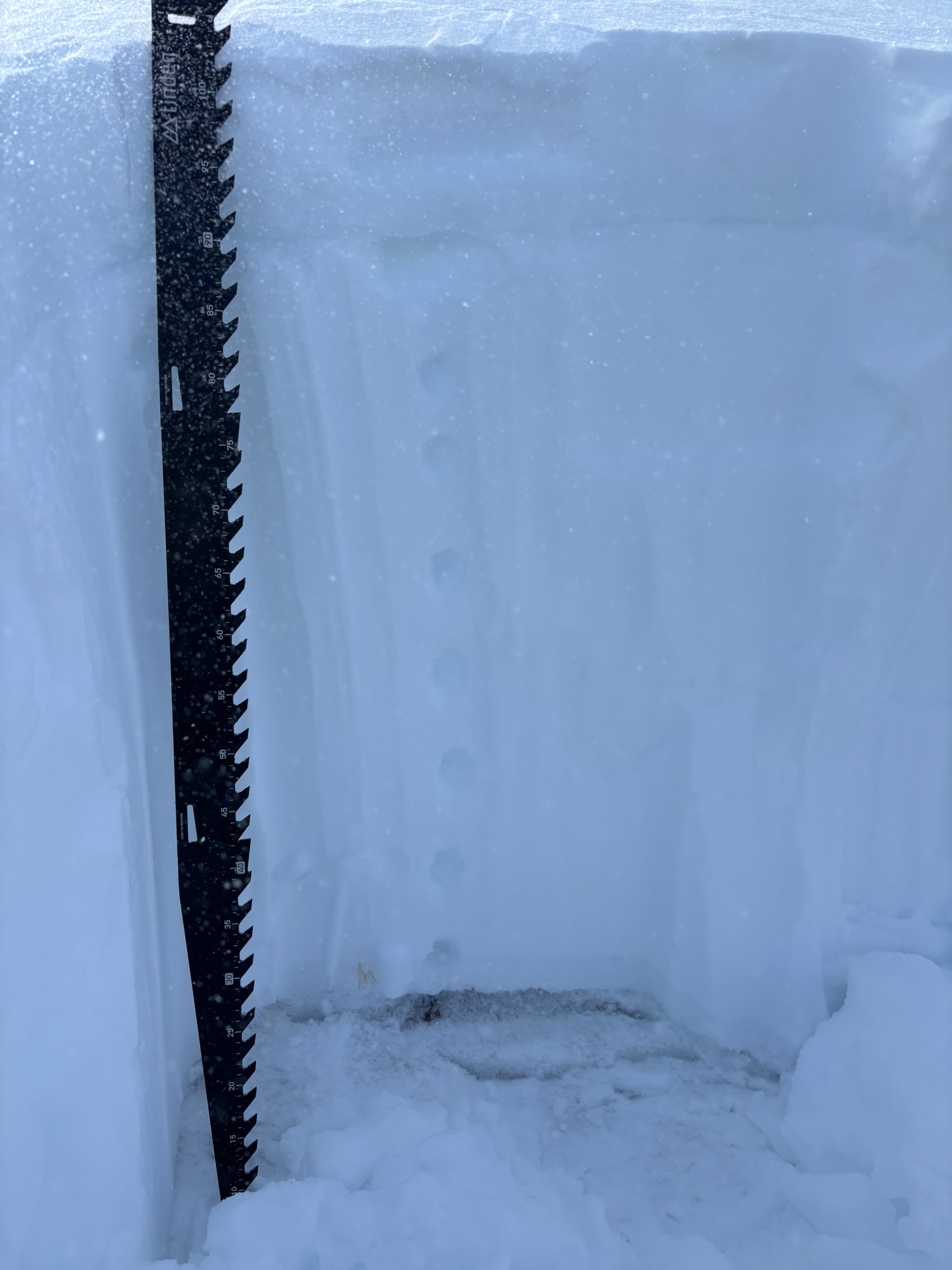
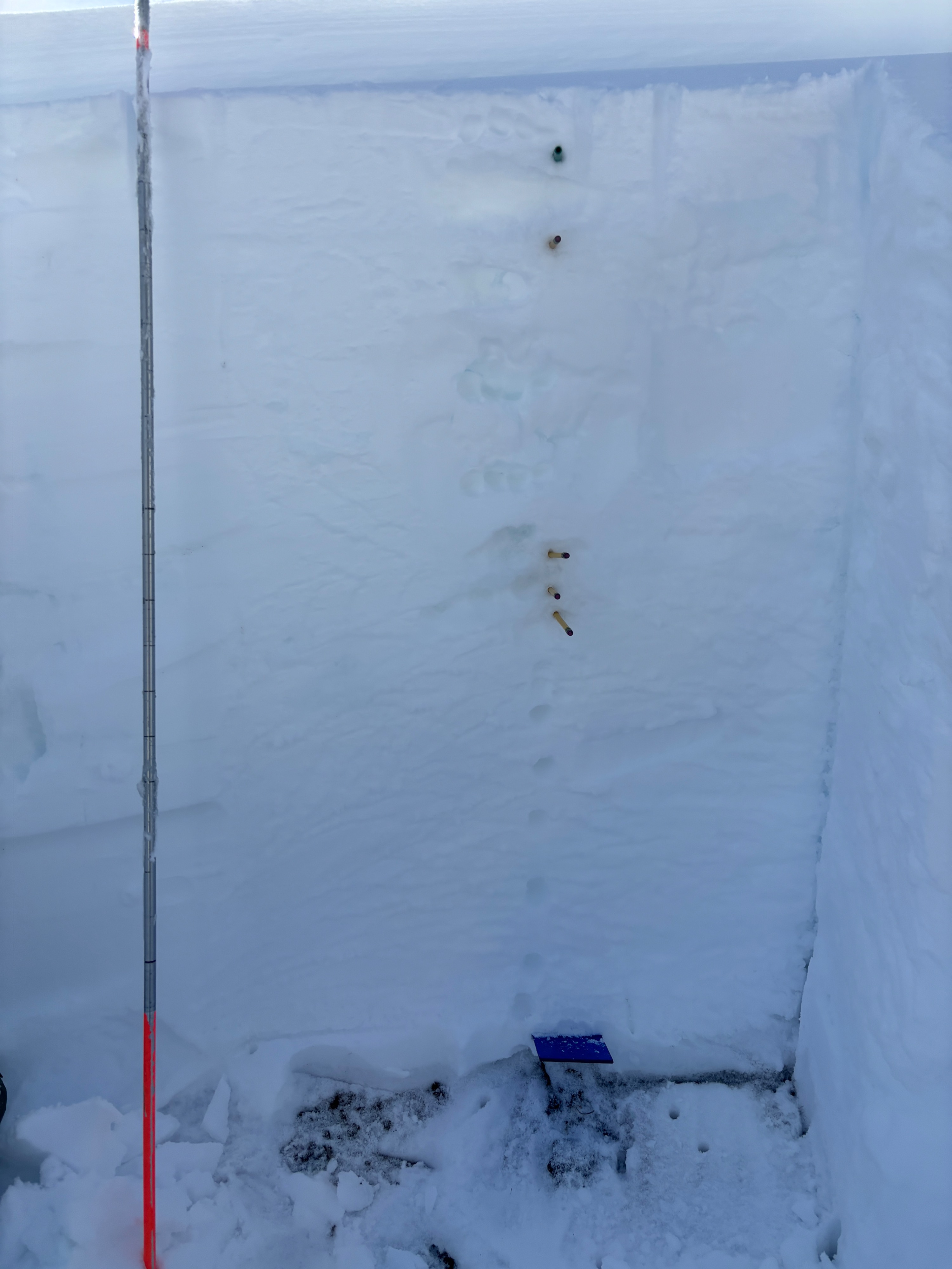
In order to look for the deep persistent slab I decided to probe on Northerly aspects and feel for a hollow snowpack near the bottom, this would indicate basal facets. I ended up digging 2 pits. One at 9000ft and one at 1000 ft. Both had a height of snow around 120cms, and had dense 1F snow in the middle of the pack with Basal facets at the ground. Neither pit produced results on CTs and ECTs ( CTX& ECTX). The deep persistent slab we currently have is tricky to nail down, it exists on northerly aspects where early season snow lingered. These northerly aspects are also where most of our snow is deposited from the prevailing S-SW winds we receive. So the layer is often buried very deep in the snowpack but a thin spot in the snowpack may just be enough to trigger an avalanche at the ground and cause the entire slope to fail. For now we continue to look for shallow areas in the snowpack and perform stability tests.
Weather
- Air Temp
- 29
- Cloud Cover
- broken
- Wind Loading
- intense
- Rain Elevation
- 9000
- Recent Snowfall
- 20
- Snow Avail For Transport
- large amounts
Broken clouds 29 F with Moderate S winds that ramped up to strong SW winds by early afternoon