
Quick report
- Cracking
- isolated
We headed out for a quick mission to see how the storm was progressing above 9000' Saturday afternoon.
- Only a few inches of new snow had accumulated.
- A thin freezing drizzle crust capped today's new snow.
- There were isolated, small, soft wind-loaded pockets of snow along the ridgeline. We did not see any significant fresh wind slabs.
- By 4 PM, the freezing drizzle turned to snow and picked up in intensity. Winds were also increasing.
Weather
- Air Temp
- Mid-20s to near freezing
- Cloud Cover
- obscured
- Wind Loading
- light
- Rain Elevation
- At least 9600' (above our highest elevation)
- Recent Snowfall
- 2-6
- Snow Avail For Transport
- small smounts
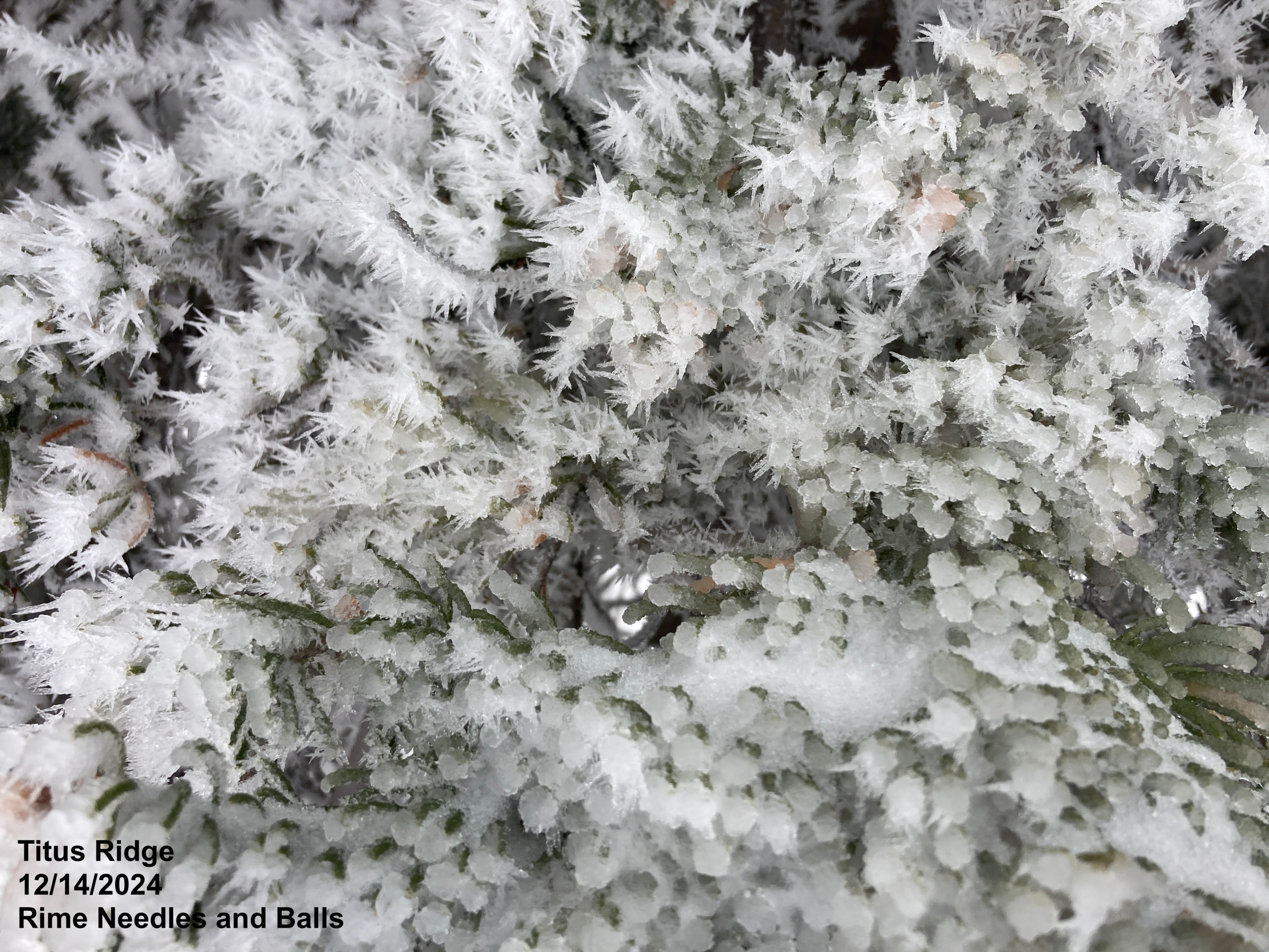
We started our tour with freezing drizzle-rime at the trailhead (2pm) and light SE winds. The freezing drizzle stopped around 3pm and it began snowing (S1 max) around 4pm with trace accumulation at 8700' at the trailhead by 5pm.
Snowpack
We expected to find a lot more snow than we did...
- 1-4" of new snow that was capped by thin breakable crusts: a widespread upper crust at the surface (12/14 freezing drizzle/rime crust) and a sporadic, thinner crust below that may have formed yesterday afternoon (12/13 rain?)
- As expected, shady aspects have a nice layer of FC (and some SH but not standing proud) below the new snow and crusts (12/13 weak layer).
- In non-standard hand tests, failures near the top of the 12/13 PWL were cleaner and more consistent on slopes with the freezing drizzle/rime crust than on slopes lacking that crust.
- Solar aspects have a more variable mix of crusts and FC in the upper part of the snowpack (the snow below the recent snowfall).
- Basal FC on shady slopes are still there: not looking great, not looking awful. We did not perform stability tests.