
Quick report
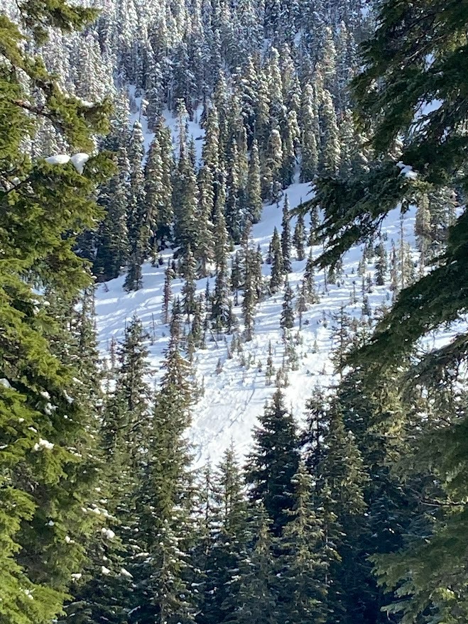
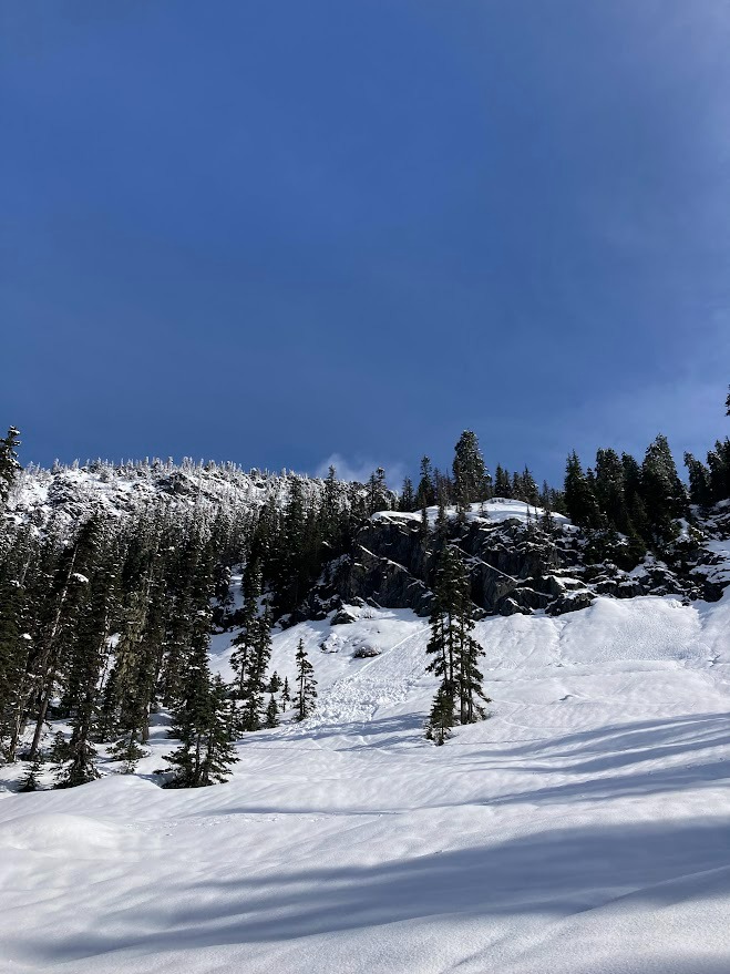
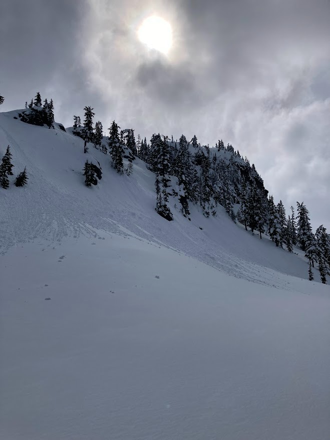
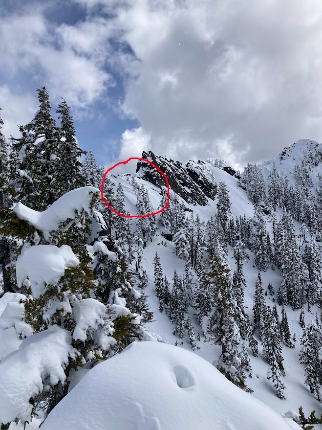
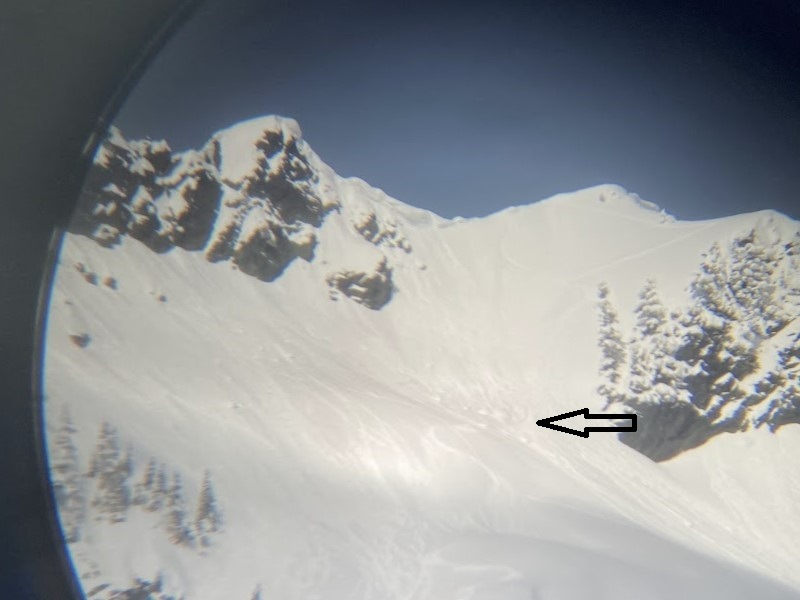
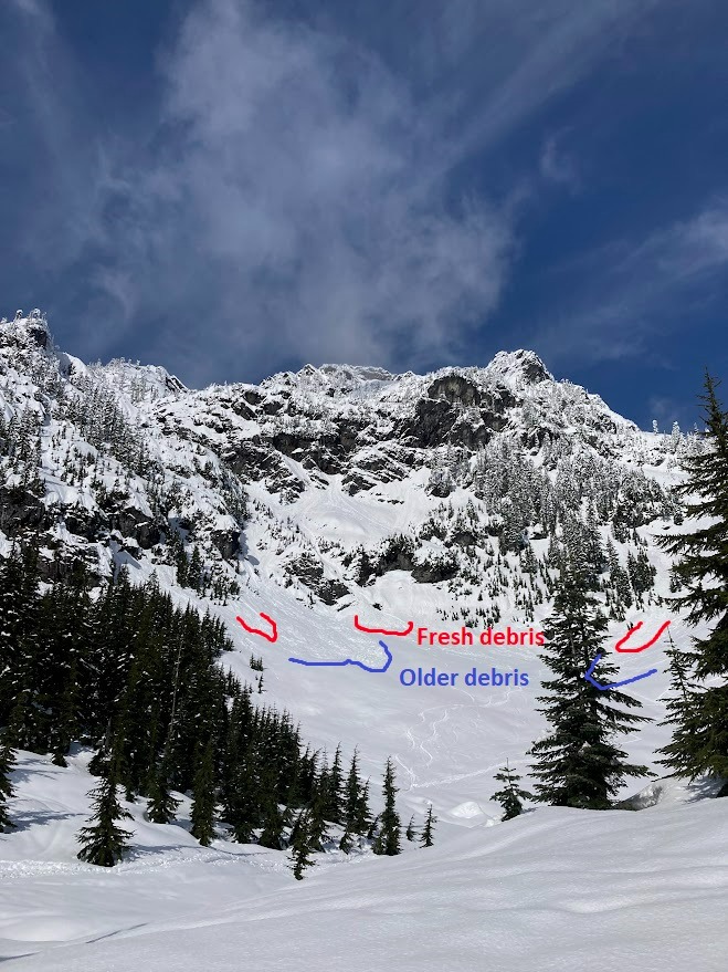
My overall impression of today's outing was that while snow was certainly warming and sluffing, snow was moving around a bit less than I anticipated with the sunshine. These was were widespread roller balls , a few fresh D1 wet loose on a variety of aspects (but mostly S and E), and small amounts of snow shedding off cliffs and trees, but the variety of breakable crusts which are sitting over nearly everything are helping keep things contained, or at least delayed. I left the field at 1:30PM, so it is possible that wet slides became more active later in the afternoon. There were slightly larger debris piles from Sunday’s cycle, and a few which I’m guessing were from inter-storm warm ups over the past week. I also saw debris from a cornice collapse off one of Chair Peak's ridgelines.
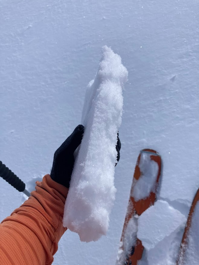
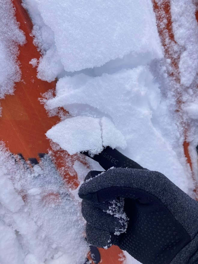
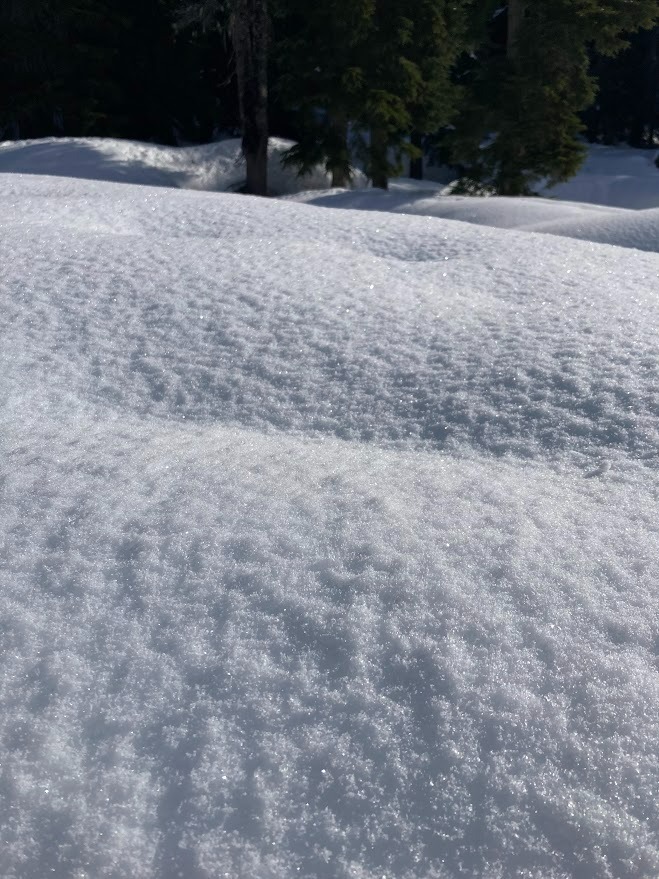
Surface crusts ranged from stout at lower elevations (which warmed and softened as the day progressed), to extremely delicate and thin, but I did not find a location which didn't have some sort of skin on the surface. Skiing on shaded aspects above 4600' was still quite enjoyable. It was a bit hard to tell, because it too was capped with a delicate crust in locations which were moving in and out of the sun, but I believe it snowed about 2in above 4000' overnight.
There were signs of previous wind transport near ridgeline. Small test slopes, even ones which were wind loaded, did not produce any cracking or fracturing, just roller balls without any propogation. Granted, I was on N facing terrain, so a solar slope may have been more primed to slide.
Weather
- Cloud Cover
- scattered
- Wind Loading
- previous
- Recent Snowfall
- 4cm
- Snow Avail For Transport
- none
It was a really lovely day, cumulus clouds were definitely building up and casting shadows, but still had lots of sun. Very little wind. Temps were near freezing at the trailhead in the morning, and warmed as the day went on, but it was still probably near freezing at upper elevations even by early afternoon.
Snowpack
I dug a pit at 4800 on a NNW aspect. I found 26in (67cm) of this week’s storm snow well bonded to a layer of huge, slightly slushy melt forms. I found two layers of barely-dry rounds below this, but water seems to be percolating and slowly turning these layers into part of the slush as well. There were a few mid-storm interfaces. None produced results in formal snowpack tests, but in informal shovel-prying, the snow seemed to prefer to break at an interface 32cm down which was a thin, 1F-hardness crust with some graupel on top of it - likely the interface between Monday/Tuesday AM snow and the Wednesday snow.