
Quick report
- Cracking
- Observed
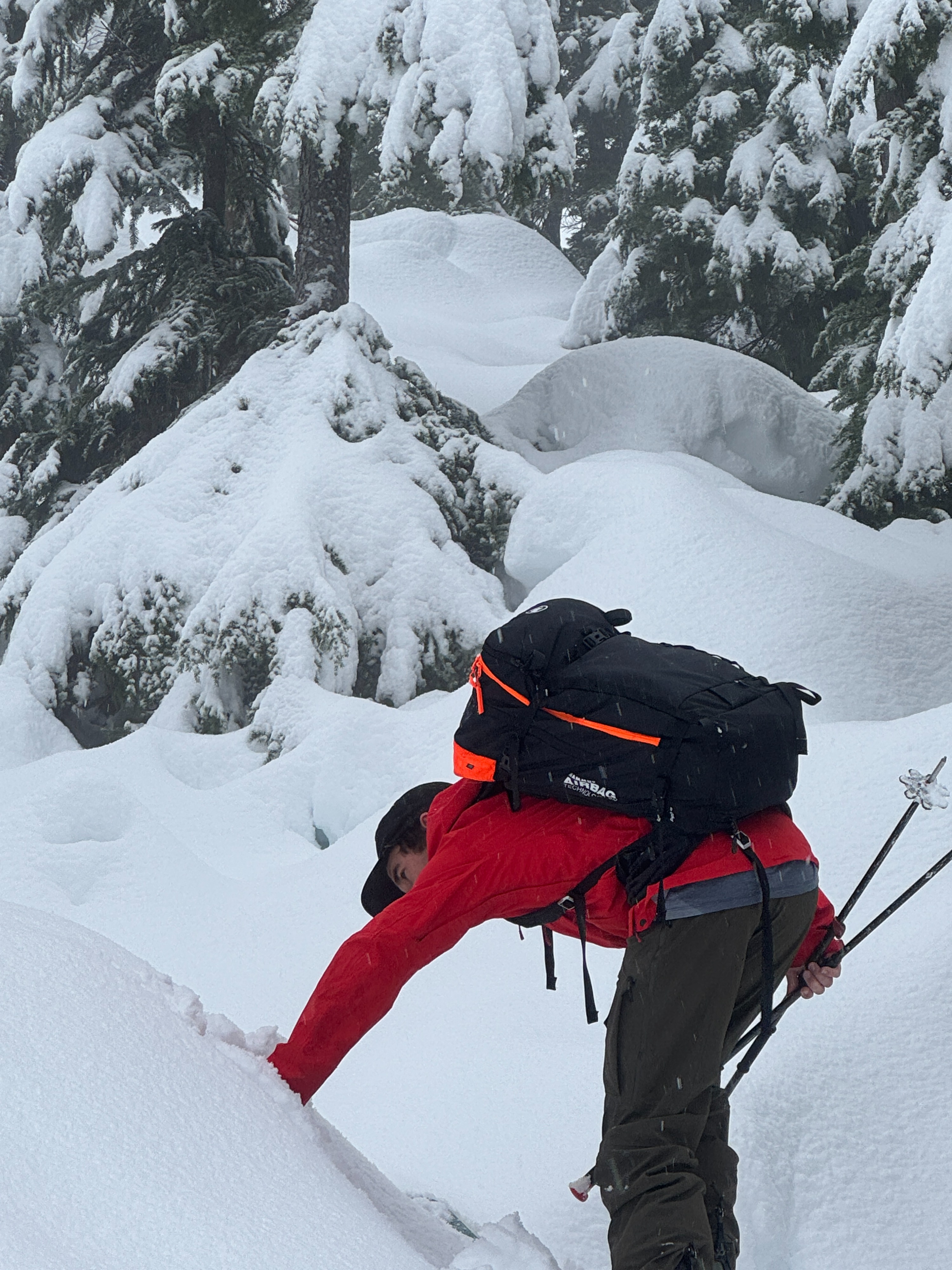
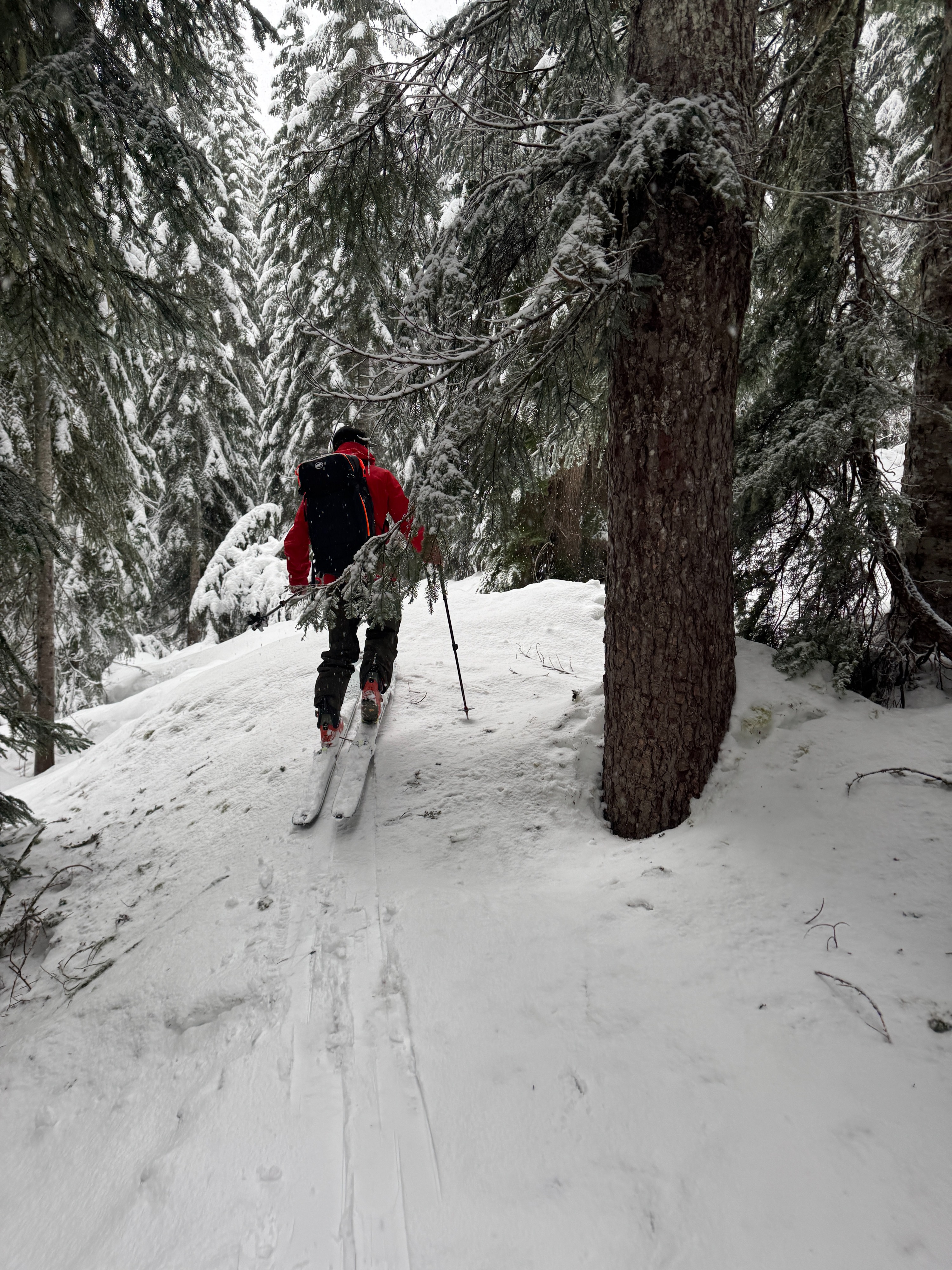
SNOW!!!! After this long dry spell, it sure was nice to see snow in the trees! We found about 4 inches of snow near the trailhead and about 8 inches above 4500ft. It's not exactly blower powder, but we'll take the heavy wet snow. Overall, the storm snow was sticking well to the burly old crust. The most notable observation was the warming trend throughout the morning. Rollerballs became prevelent and snow shed from some of the extremely steep rocky faces in the Great Scott/Pineapple Pass area.
Minimal cracking was noticed in the new snow on very steep and often convex slopes. Cracks were very short and only extended a foot or two from our skis at most.Weather
- Air Temp
- 31
- Cloud Cover
- obscured
- Wind Loading
- none
- Rain Elevation
- 3500
- Recent Snowfall
- 0
- Snow Avail For Transport
- small smounts
Snow in the morning turned showery before lunch, then picked up again as we exited the field. Winds were noticeably calm. When we left the trailhead (3100ft) it was snowing, as we descended, it was noticably warming and the snow line had risen to around 3500ft.
Snowpack
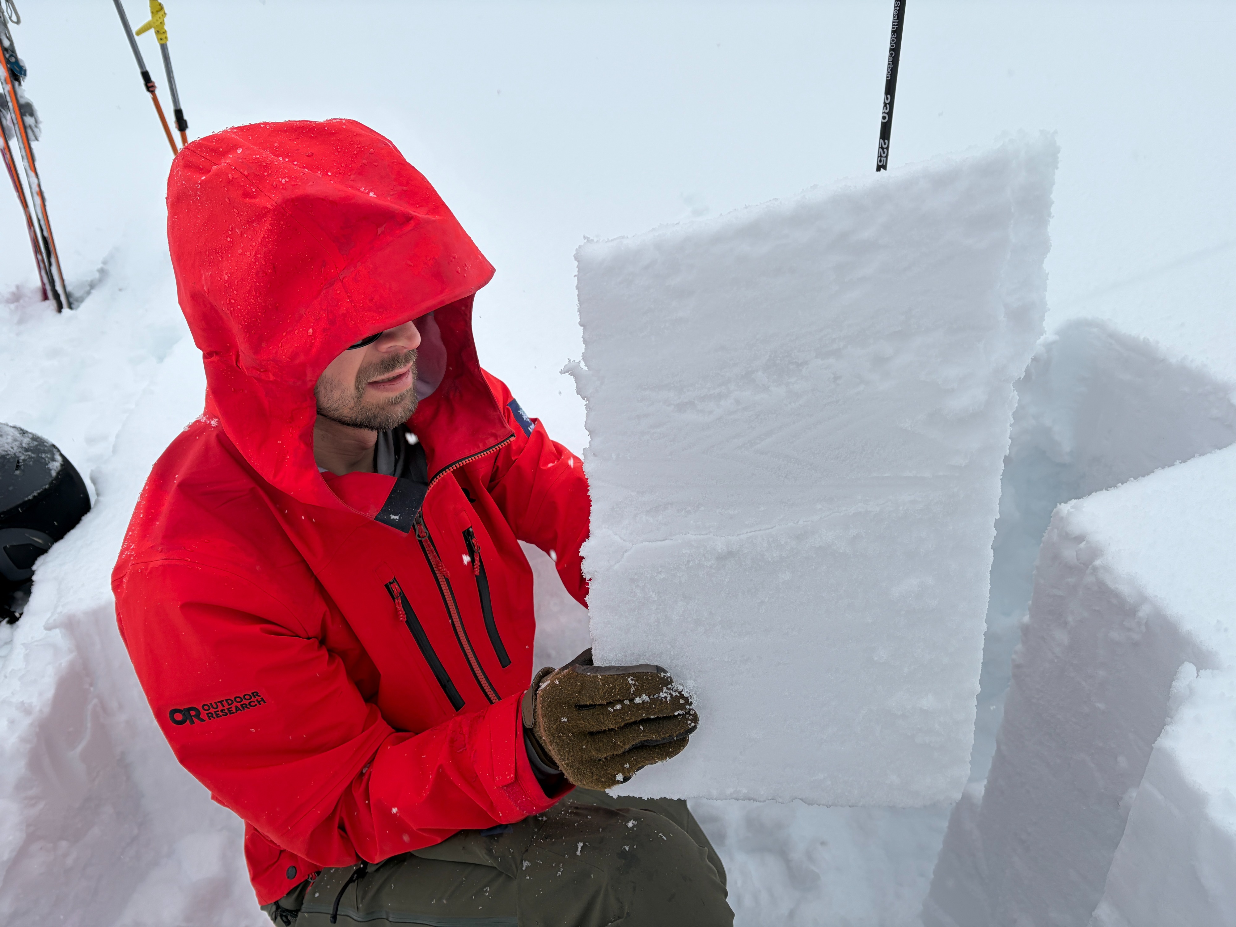
Let's start with the old crust. It's stout! You won't miss it. You can easily feel it just below the new snow. Where we traveled, this layer was so thick and so solid that we weren't worried about anything below. So, we focused our attention on the new snow and its interface with the old crust.
Below about 4500ft, we found some weak snow right at the new/old interface. Small facets and surface hoar allowed small blocks to fail easily. However, small slope and uptrack tests didn't produce any notable results. This may be due to the irregularity of the old surface and the variability of these weak grains.
Above 4500ft, we didn't find these same weak grains, although we traveled less terrain in this area. This elevation loosely corresponds with the general top of the inversion layers during the prolonged dry stretch. In these locations, the 8 inches of new snow appeared to be bonding well to the old surface. A thin, subtle interstorm crust was noticeable, likely from the afternoon of 1/28.
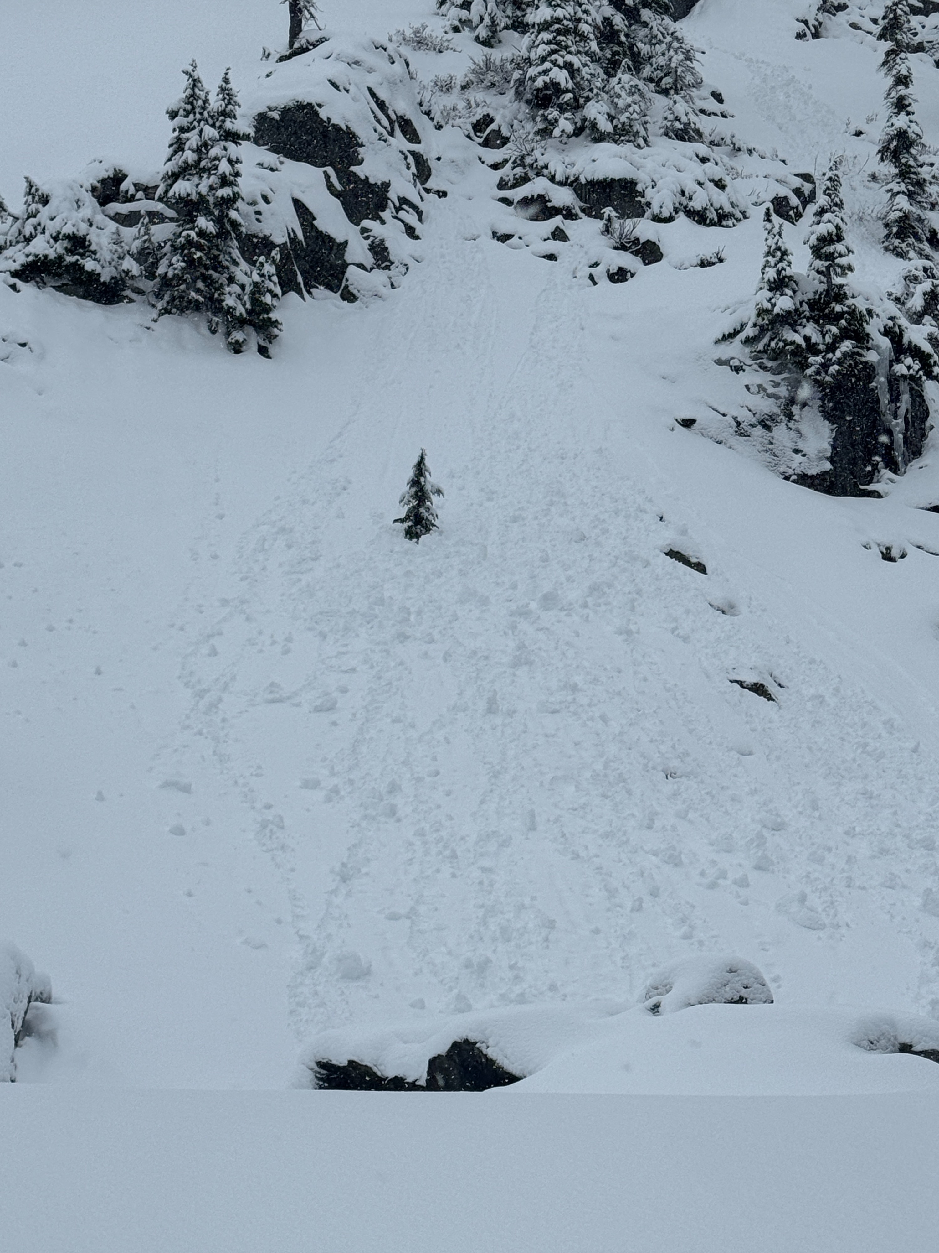
As conditions warmed, rolleballs began to release from very steep and rocky faces. In a few locations, these initiated very small wet loose slides. As we descended, we were also able to produce rollerballs, but they never really caused a wet loose slide.
Notably, there was no wind effect on the snow where we traveled. The new snow was evenly distributed across the terrain. Maybe we were wind protected, or maybe it was windier up higher.... hard to say.
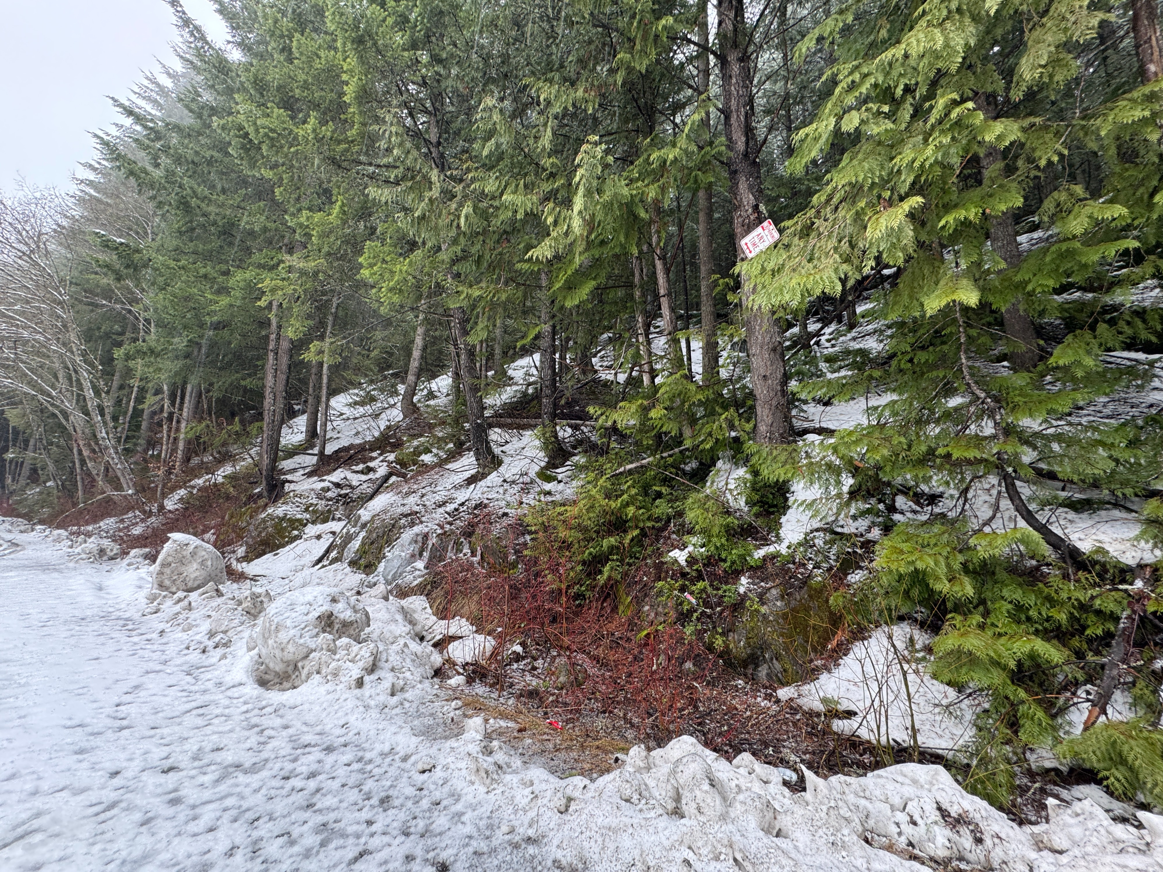
Snowmobile Areas: We also took a quick trip over to Gold Creek to look at motorized access. Patchy snow on the road was nearly absent in the trees. The short, it, this long dry spell took a toll on the coverage in the eastern portion of the zone.
Avalanche
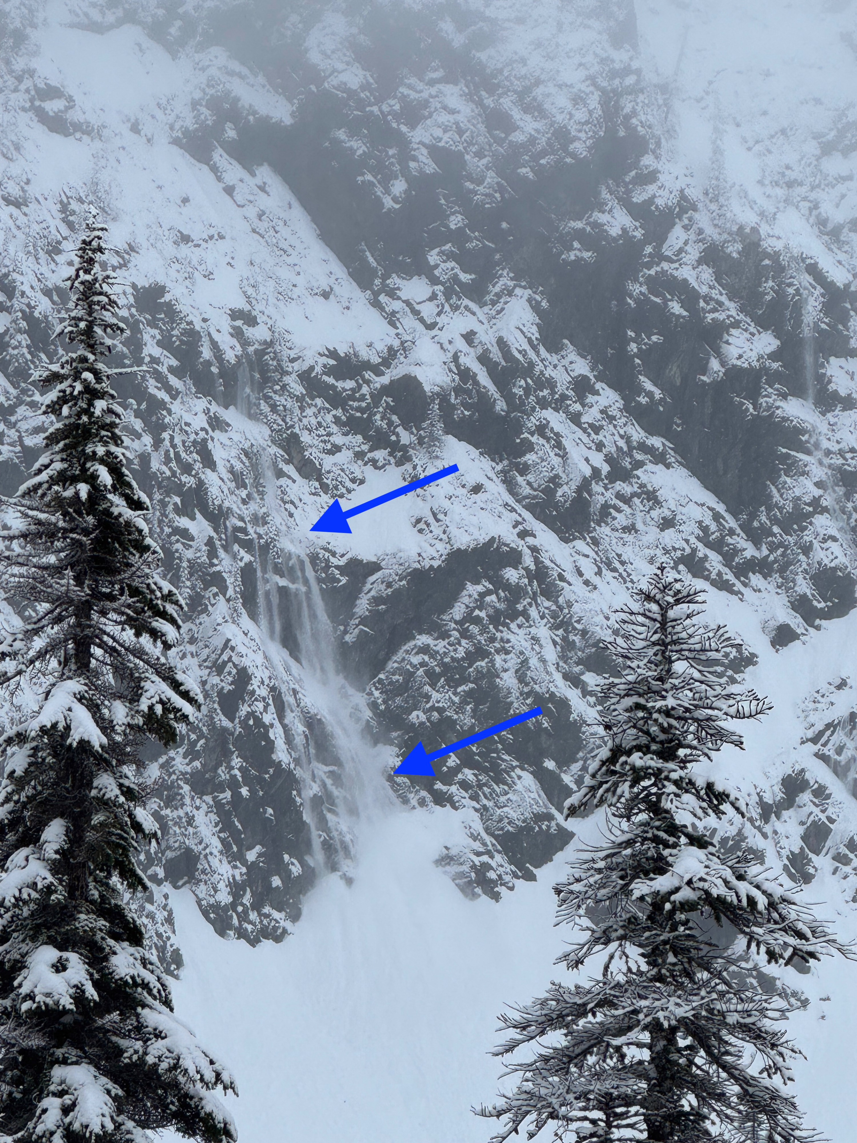
Mostly natural loose avalanches were releasing off the cliffs of The Tooth and Hemlock Peaks. These extremely steep, cliffy faces often shed snow during a storm. One slightly larger, more notable avalanche released from Hemlock Col (NE, 5300ft) and reached near the bottom of the basin. Additionally, a few shallow crowns were noted in the cliffs around Bryant Peak (E, 5400ft).