

Weather
- Air Temp
- 7
- Cloud Cover
- overcast
- Wind Loading
- light
- Recent Snowfall
- 38
- Snow Avail For Transport
- large amounts
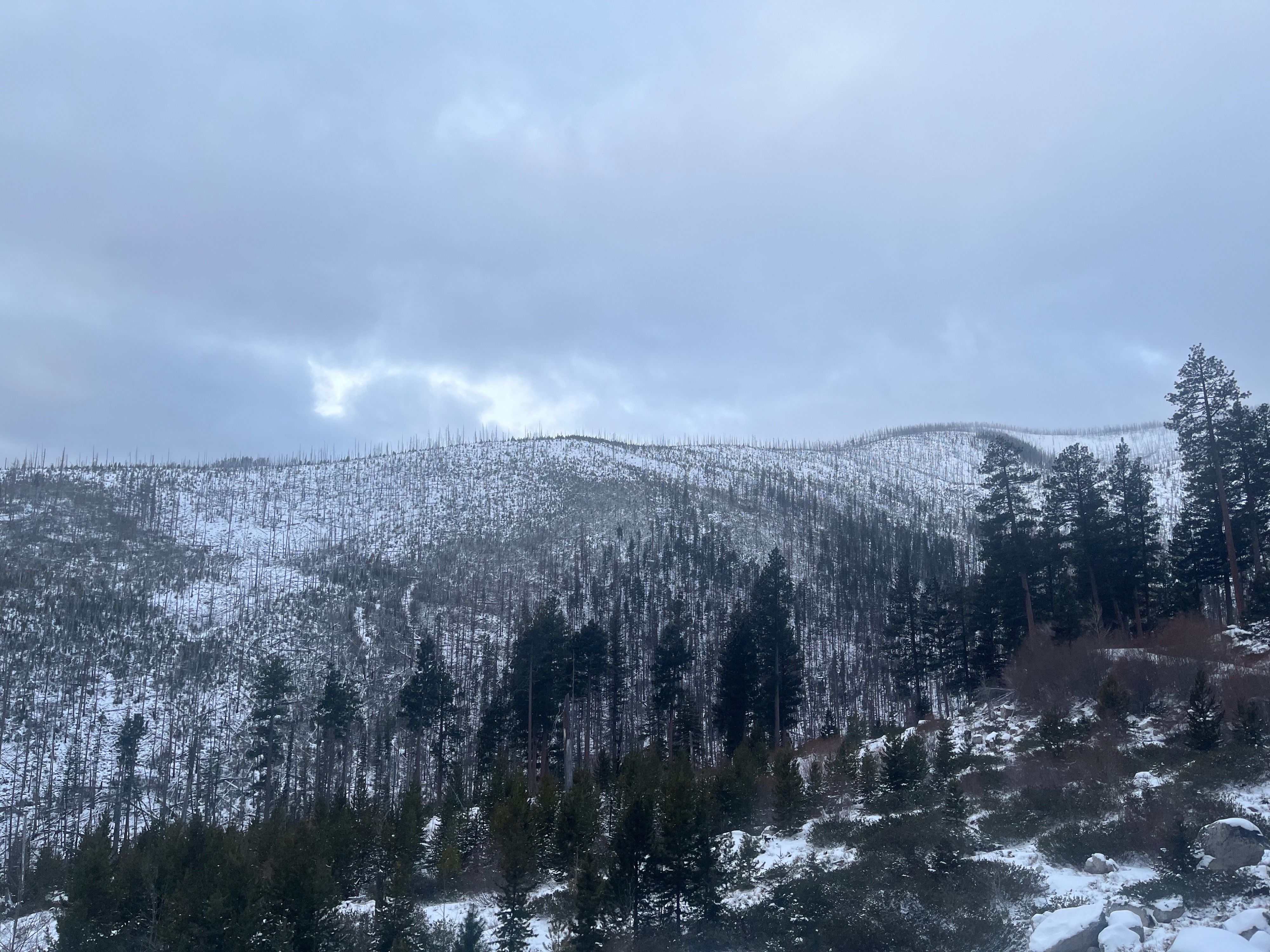
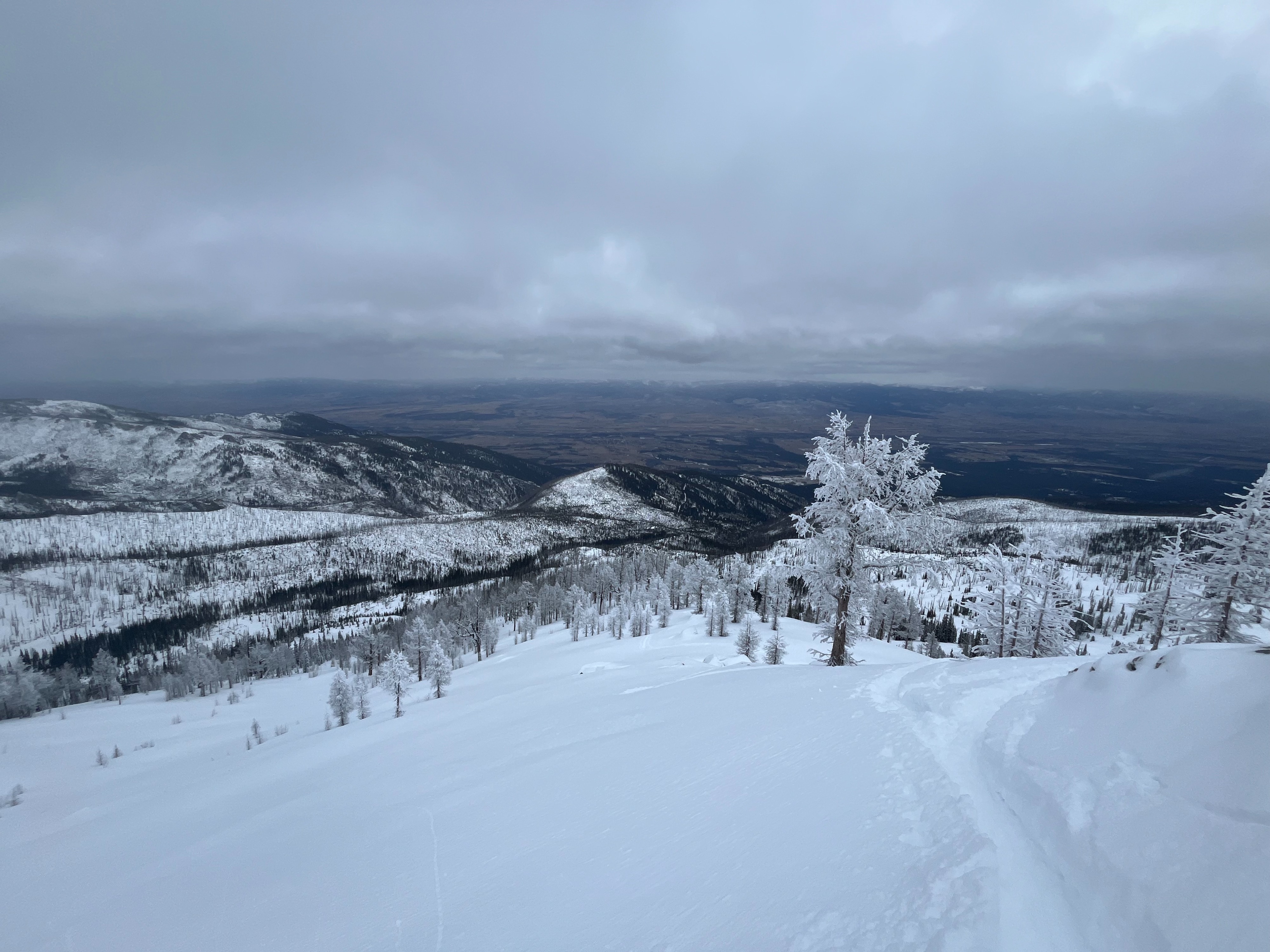
The sky was overcast all day as a storm rolled in. Temperatures remained cold throughout the day. In the afternoon, the storm reached us and very light snow and light wind from the south began. The snow increased to a light snowfall rate as we descended but then stopped as we dropped down to below 6400 ft.
Snowpack
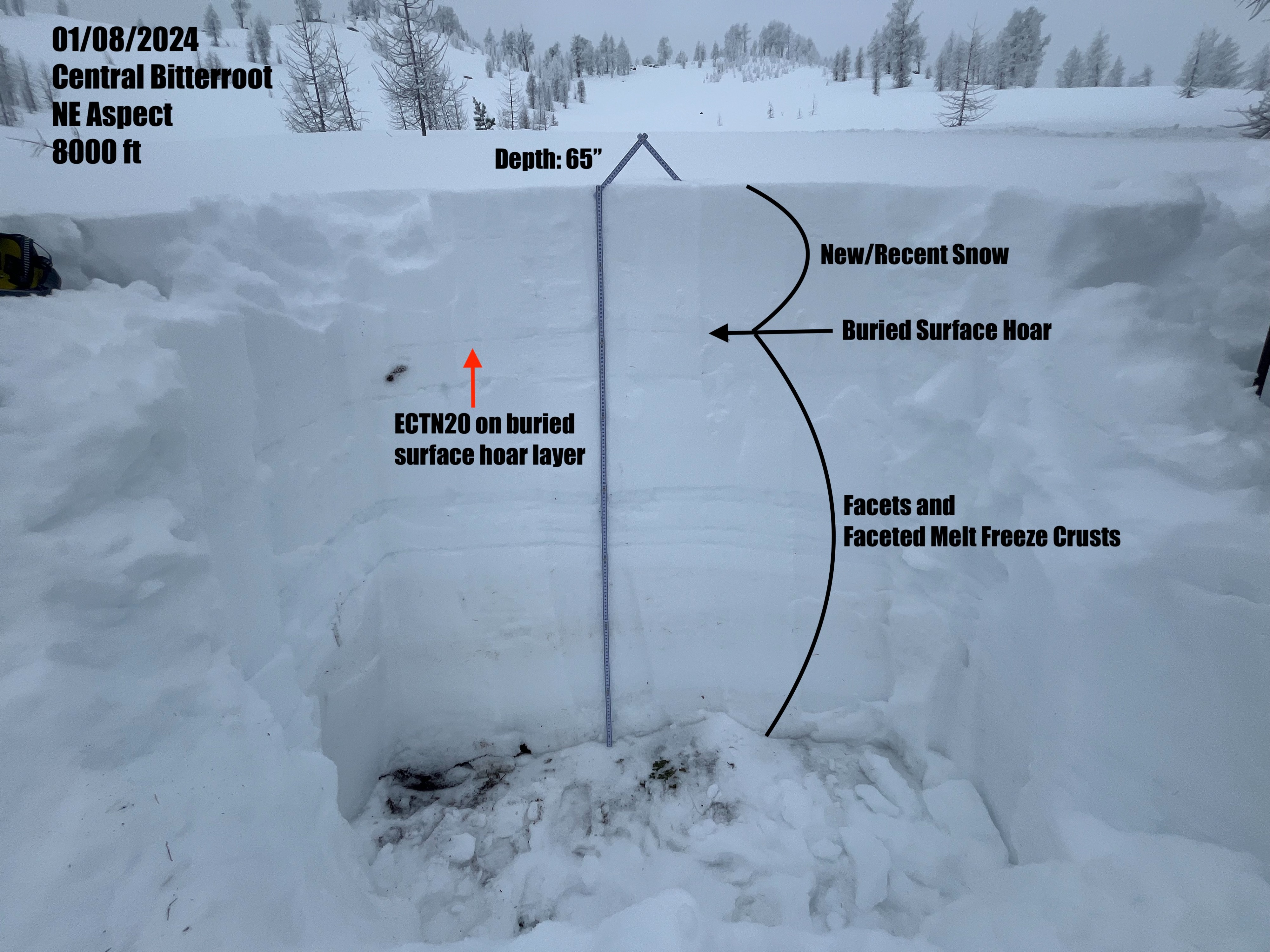
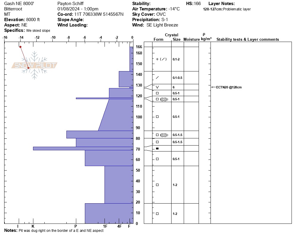
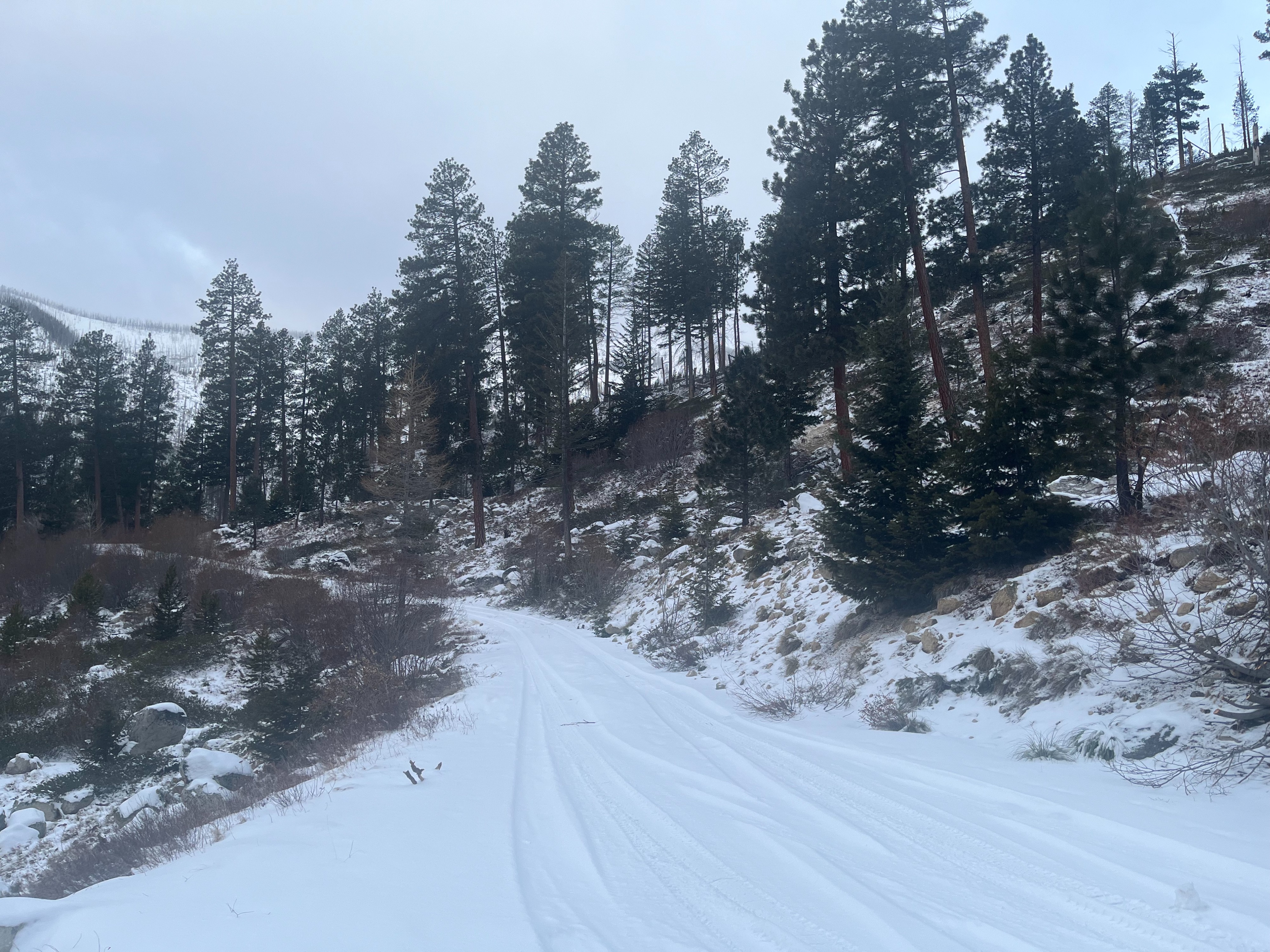
There is little to no snow below 6100' on north and south aspects. From 6100' - 6700', there is about 1 foot of snow. From 6700', snow depths increase to 2-3 feet and are deeper in previously wind-affected areas. We dug a snowpit at 8000' (treeline) that had a depth of 5.4 ft (166cm).
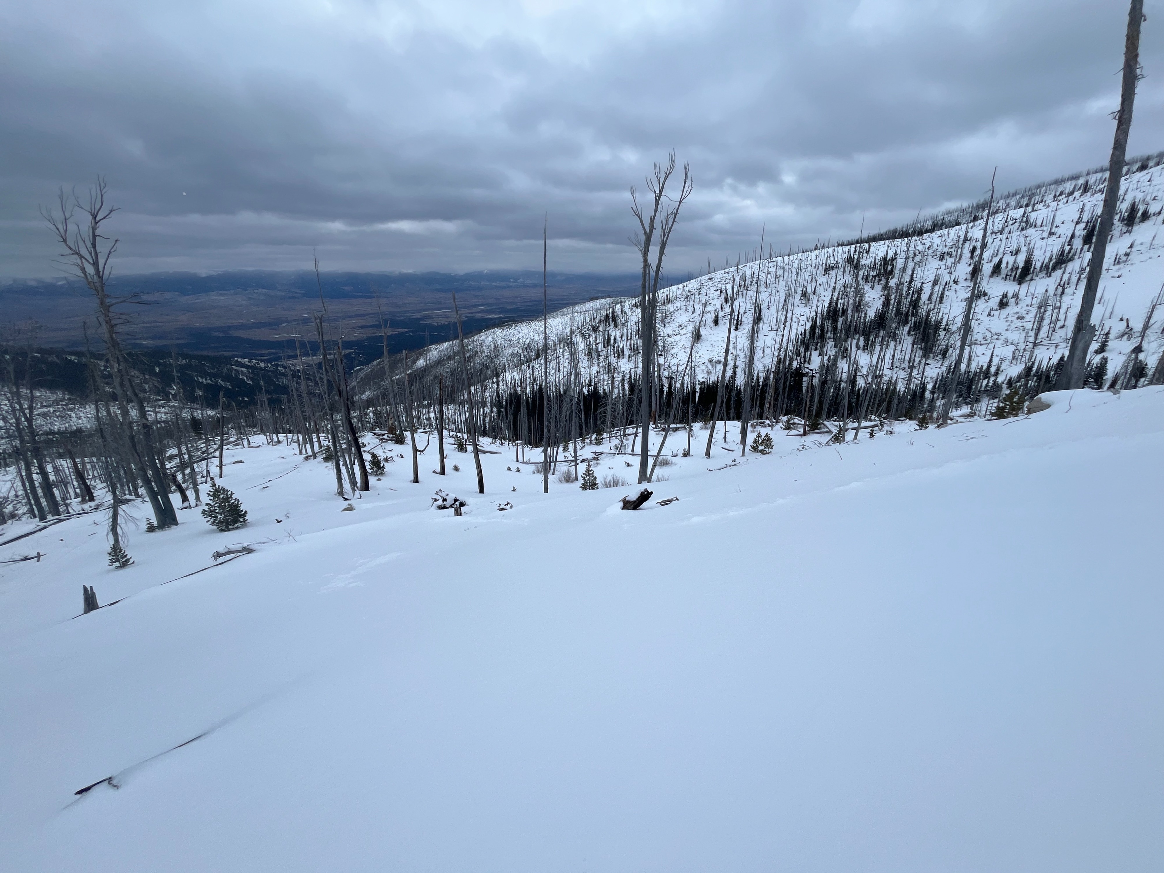
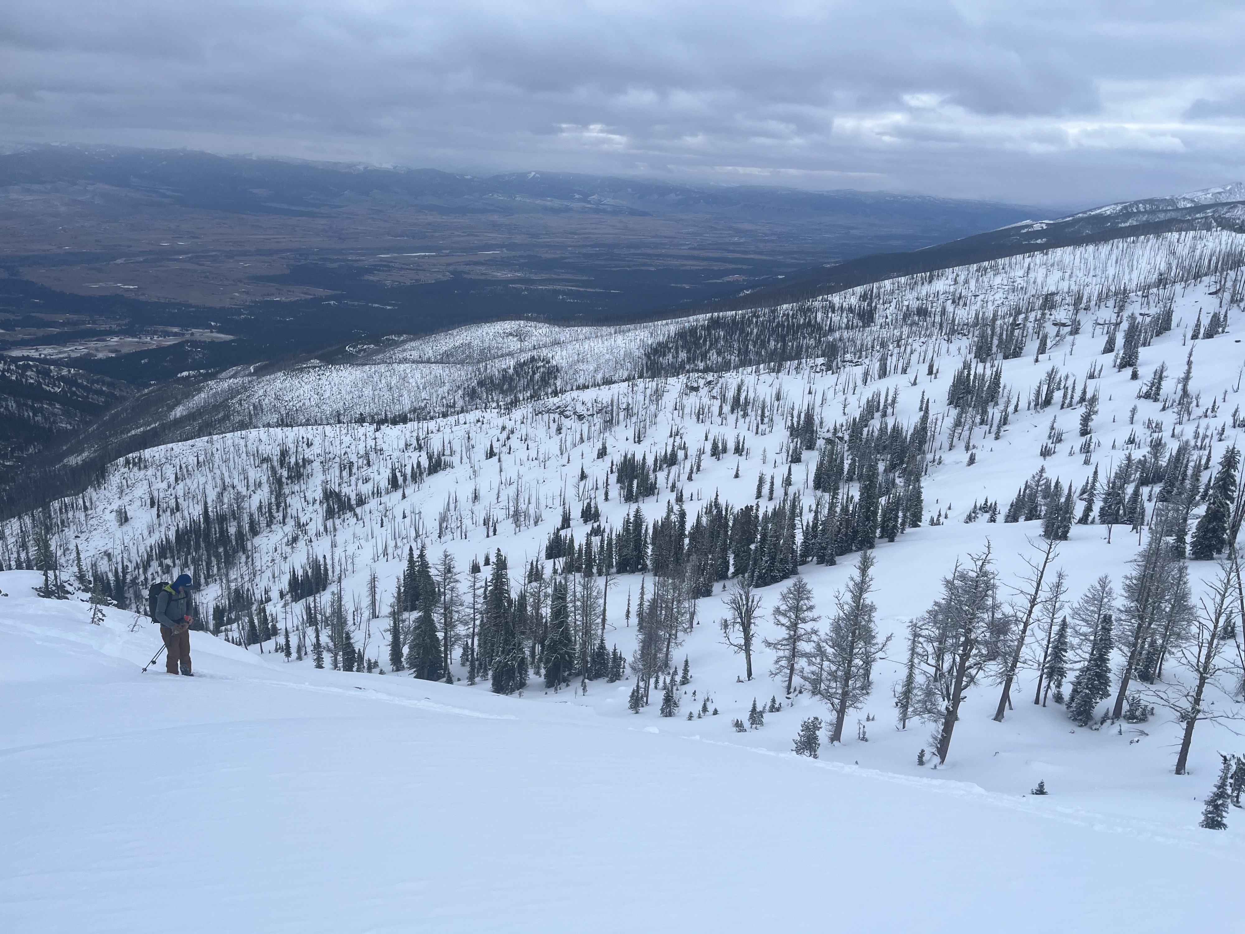
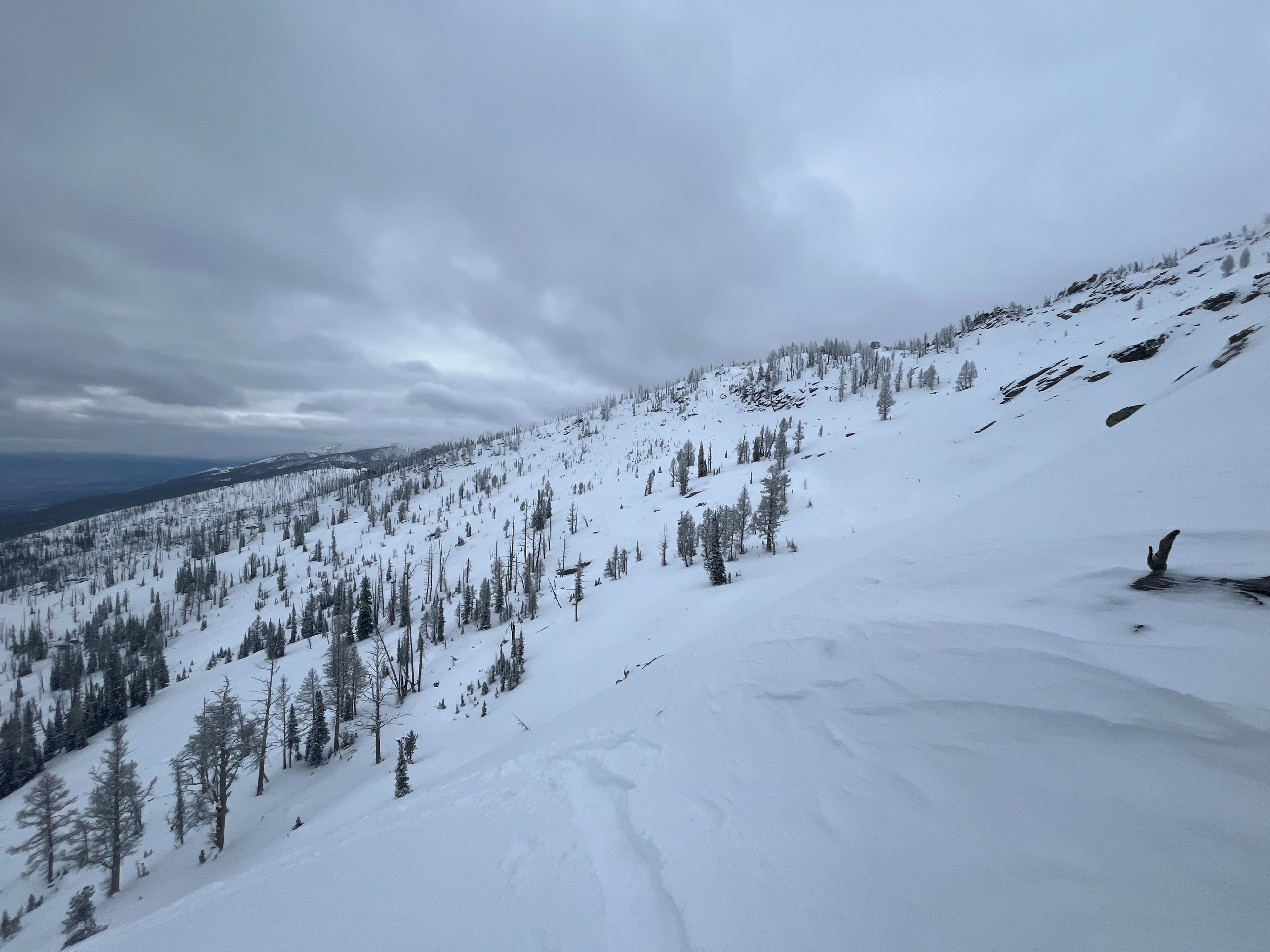
At lower elevations, there was 1-2" of new snow on the ground. At 6300', there was 2-3" of new. At higher elevations where the wind has carried snow around, we found around 1 foot of new or recent snow at the top of the snowpack on south and north aspects. The new snow was dry and unconsolidated.
In middle and upper elevations, south aspects have a well-defined crust below new and recent snow. North and east aspects are largely faceted below new and recent snow. Old melt-freeze crusts from early December that have been faceting during our dry spell are still identifiable on north and east aspects.
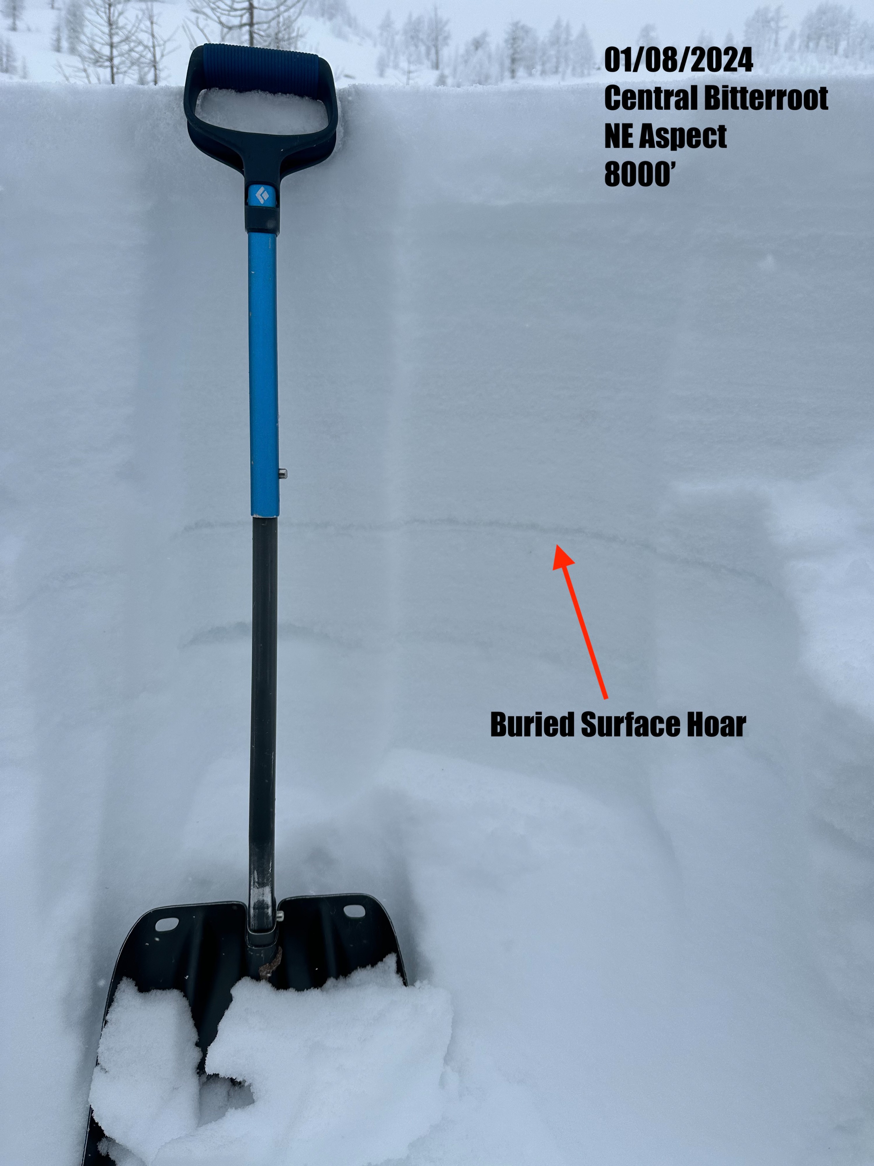
Previous wind indicated snow being moved onto both north and south aspects however we did not find wind slab formation today. We did find a buried surface hoar layer underneath new and recent snow in our pit on a NE aspect at 8000'. We performed an Extended Column Test and got a moderate non-propagating result on this layer (ECTN20).
Current snowpack conditions are set up for avalanche danger to rise dramatically with another incoming storm. Crusts and persistent weak layers make for prime avalanche bed surfaces.