
Quick report
The trees still had snow on them near the parking lot at midday, but it was a dripping forest until about 7,000'. The shaded air temp above 7500' stayed near freezing all day and due North aspects in the trees held cold snow in the afternoon.
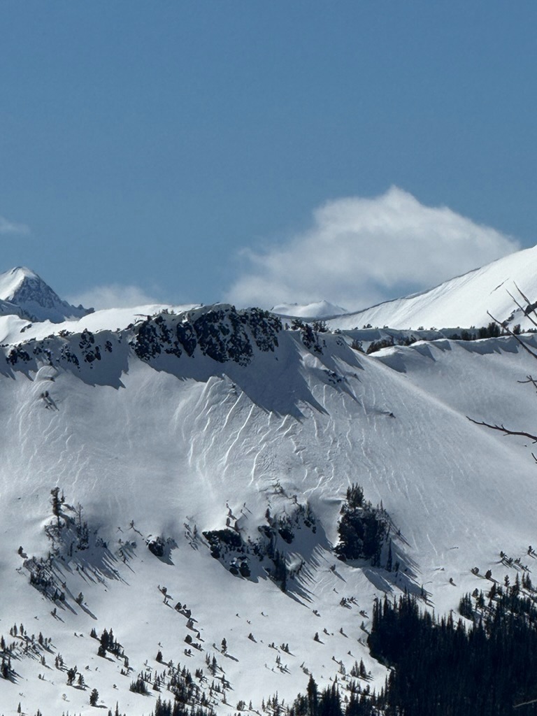
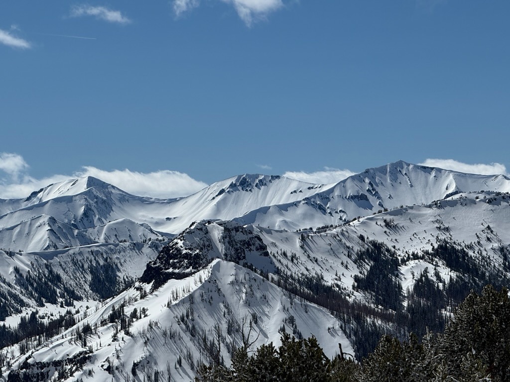
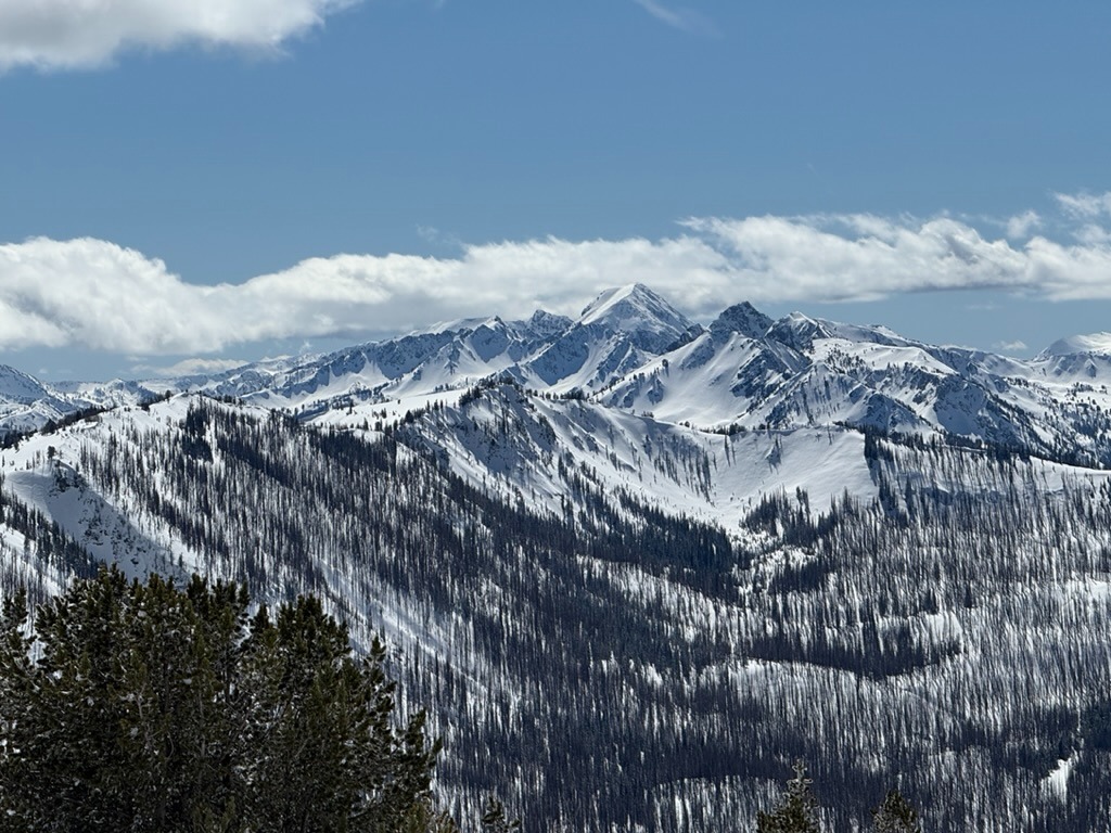
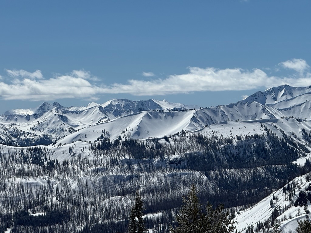
I did not see any natural avalanche activity when looking out into the Eagle Cap from Wing Ridge. The cooler temperatures/clouds helped to temper any wet snow issues until later in the day. I only saw roller balls, and did not see any wet loose avalanches.
Weather
- Air Temp
- 32
- Cloud Cover
- broken
- Recent Snowfall
- 20
It was in the upper 30's °F around noon at Salt Creek Summit when I left the parking lot. Broken skies until 1400, then scattered. No precip and light/variable winds.
Snowpack
The snow surface was becoming warm on solar aspects by 1300.
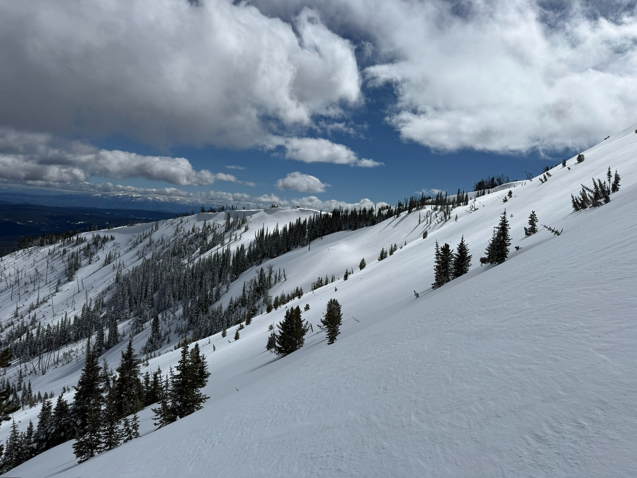
Around 7,000', there was about 4" of new dense snow. At 8,000', I found closer to 6" of new dense snow. There had been evidence of wind transport, and it was isolated to above 8,000'.
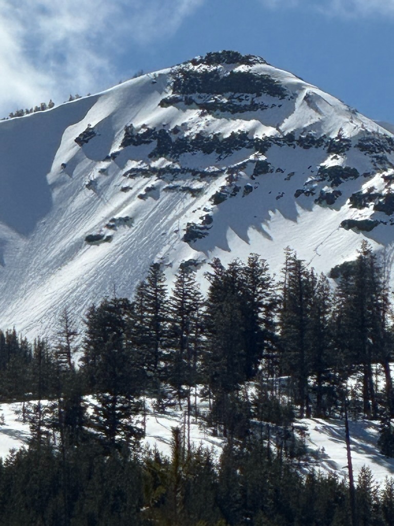
I saw 2 minor roller balls on SE slopes in the salt creek drainage and one out of the East facing rocks at the the top of Pyramid.