
Valanga
Vedi sulla mappaWestern PWS/ Whittier/ Portage Valley
Graham Predeger
Quick report
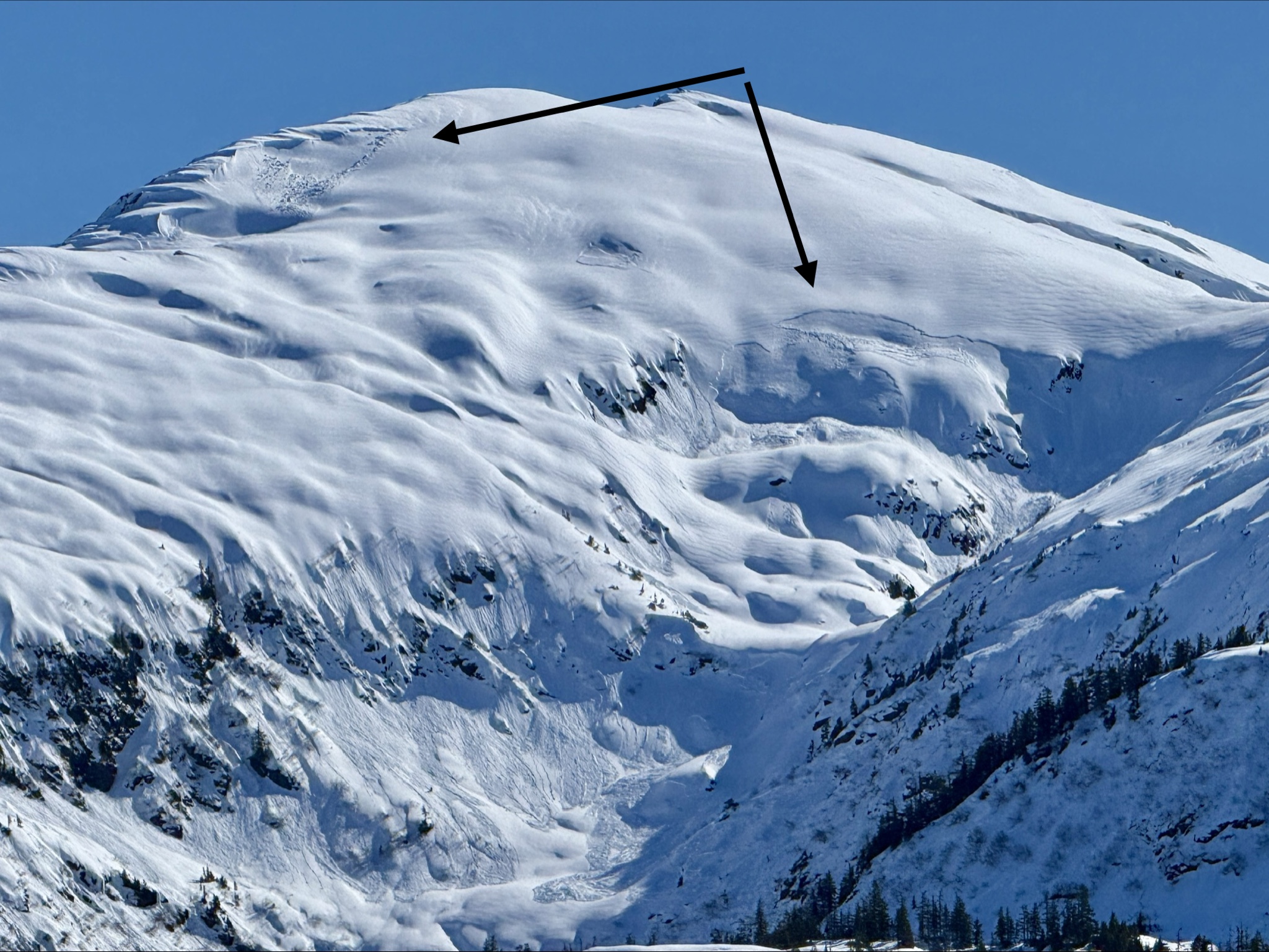
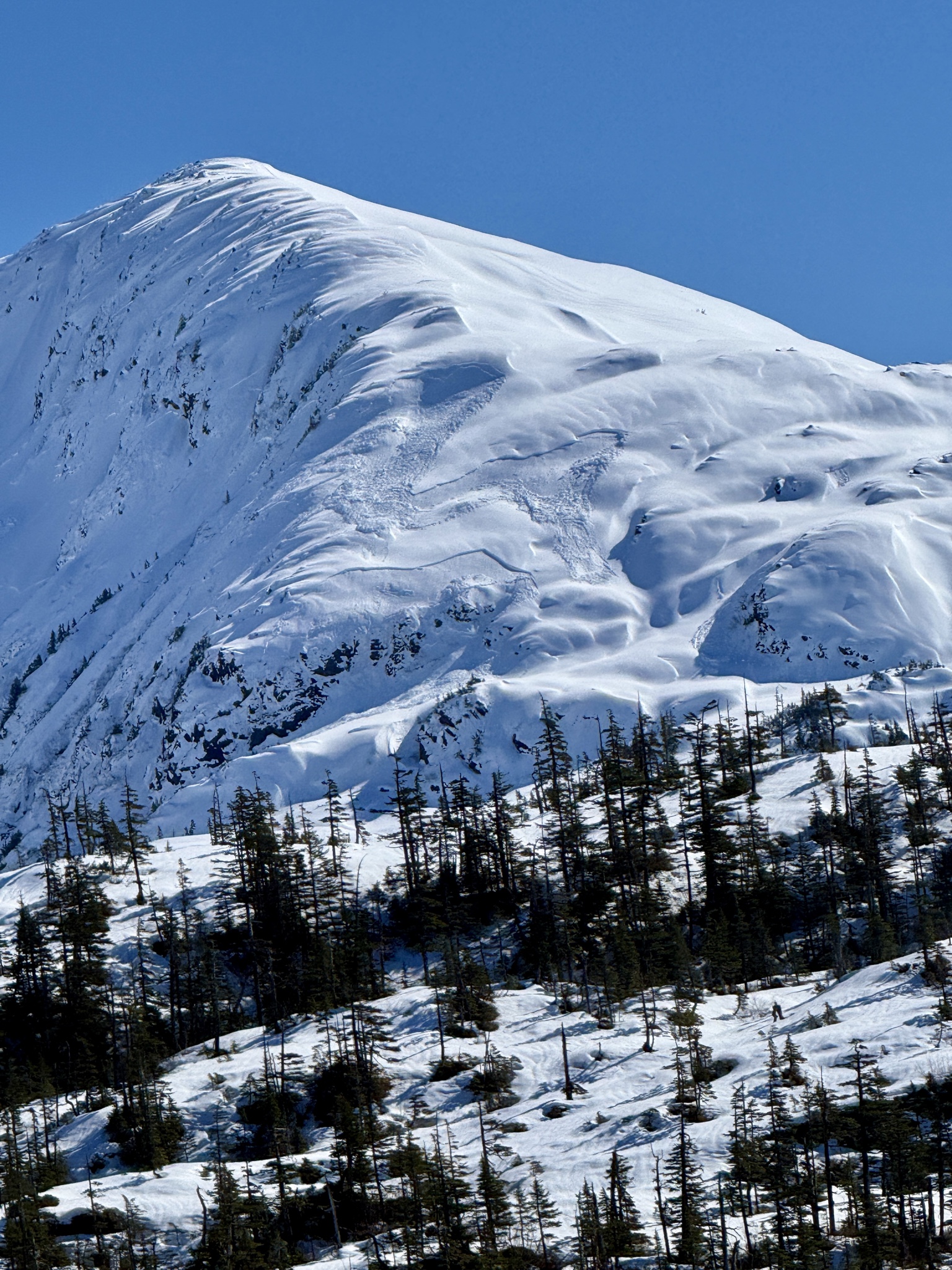
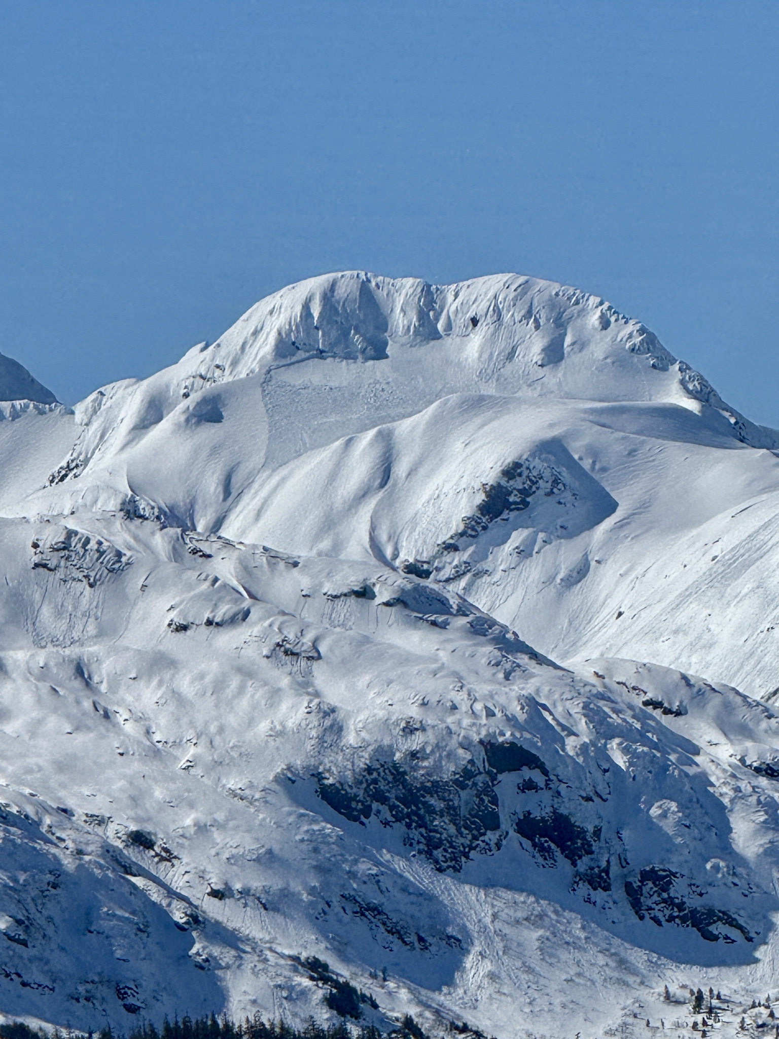
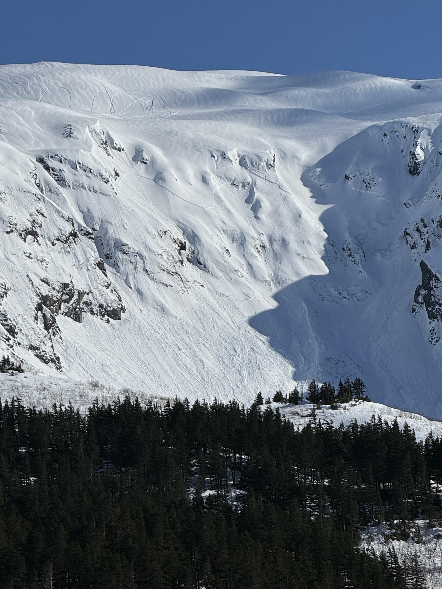
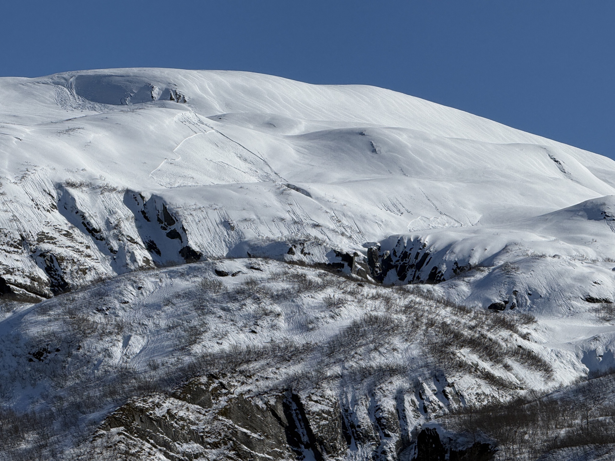
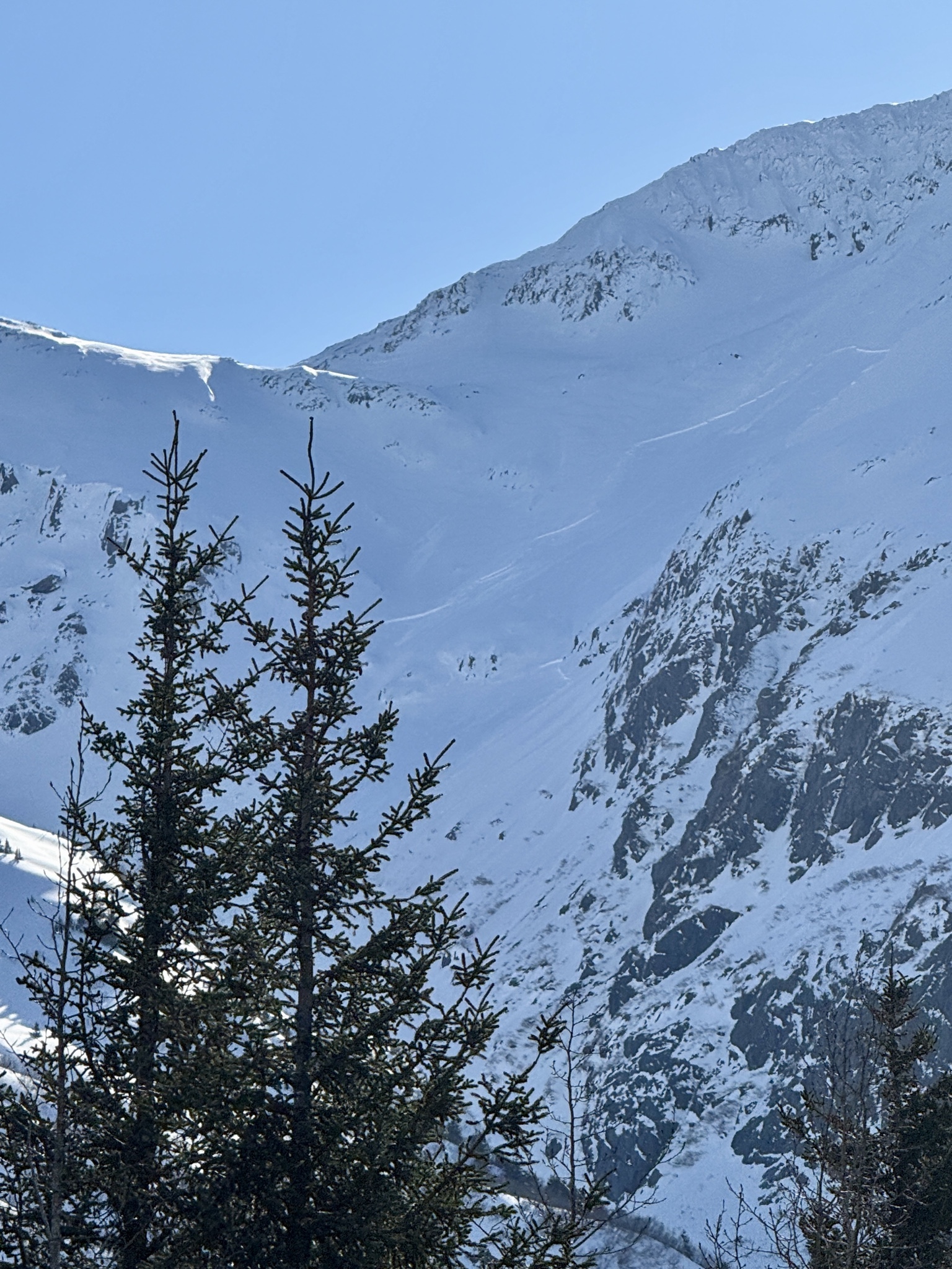
In general, most slabs we saw today appeared to be similar in character: mid-elevation band and ~1' deep, likely comprised of the storm snow from earlier this week that fell on a variety of weak surfaces.
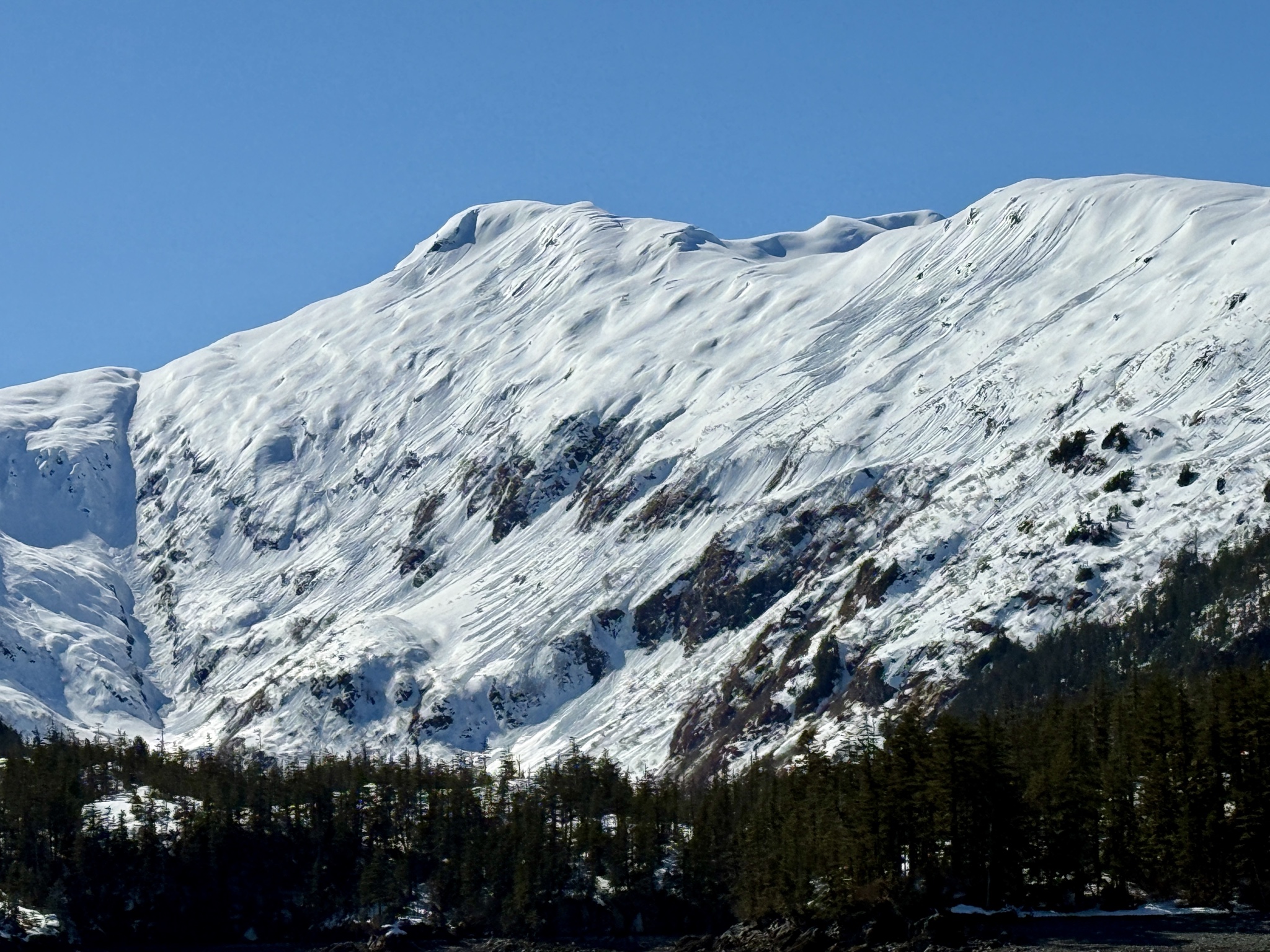
Plenty of wet loose avalanches on solar aspects, a few of which appeared to have pulled out slabs later in the day.
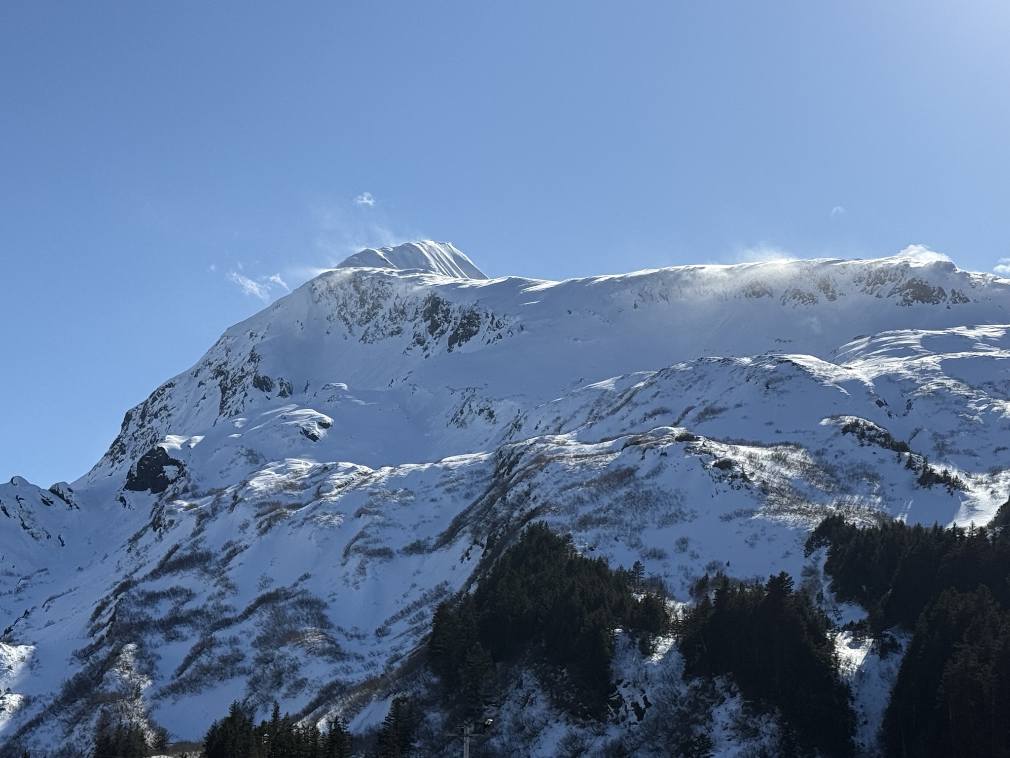
PWS: Multiple slabs and wet loose avalanches in western PWS. Most slab activity we observed was on Culross Island in the 1,000-1,500' elevation band. These looked to be 'storm snow' from earlier in the week. ~1' deep. One deeper slab observed between Blackstone Bay and Cochrane Bay, ~2,500' NE aspect. Whittier: Multiple natural slab avalanches appear to have released today, visible from town. These were all similar elevation band (~800' - 1,200') on multiple different aspects and look to be ~1' deep. Portage: Plenty of debris in the Byron Glacier Valley at trail level. LOTS of snow still up high, and definitly not the time to be hiking or skiing toward Byron G. We saw one very connected slab above the Williwaw CG (1,600-1,800') on a East aspect. This appeared to be ~1' deep.Weather
- Air Temp
- 40
- Cloud Cover
- clear
- Wind Loading
- light
- Snow Avail For Transport
- small smounts
Calm winds and clear skies for most of the day. Wind did start to pick up from the West in the afternoon, transporting some snow off the Bard and Maynard.
Snowpack
Low snowpack at sea level at both Goose Bay Cabin and Paulson Bay Cabin compared to the last several springs.
Avalanche
Multiple natural avalanches seen today on Culross Island (Goose Bay vicinity), Paulson Bay, Whittier, and Portage Valley.