
Quick report
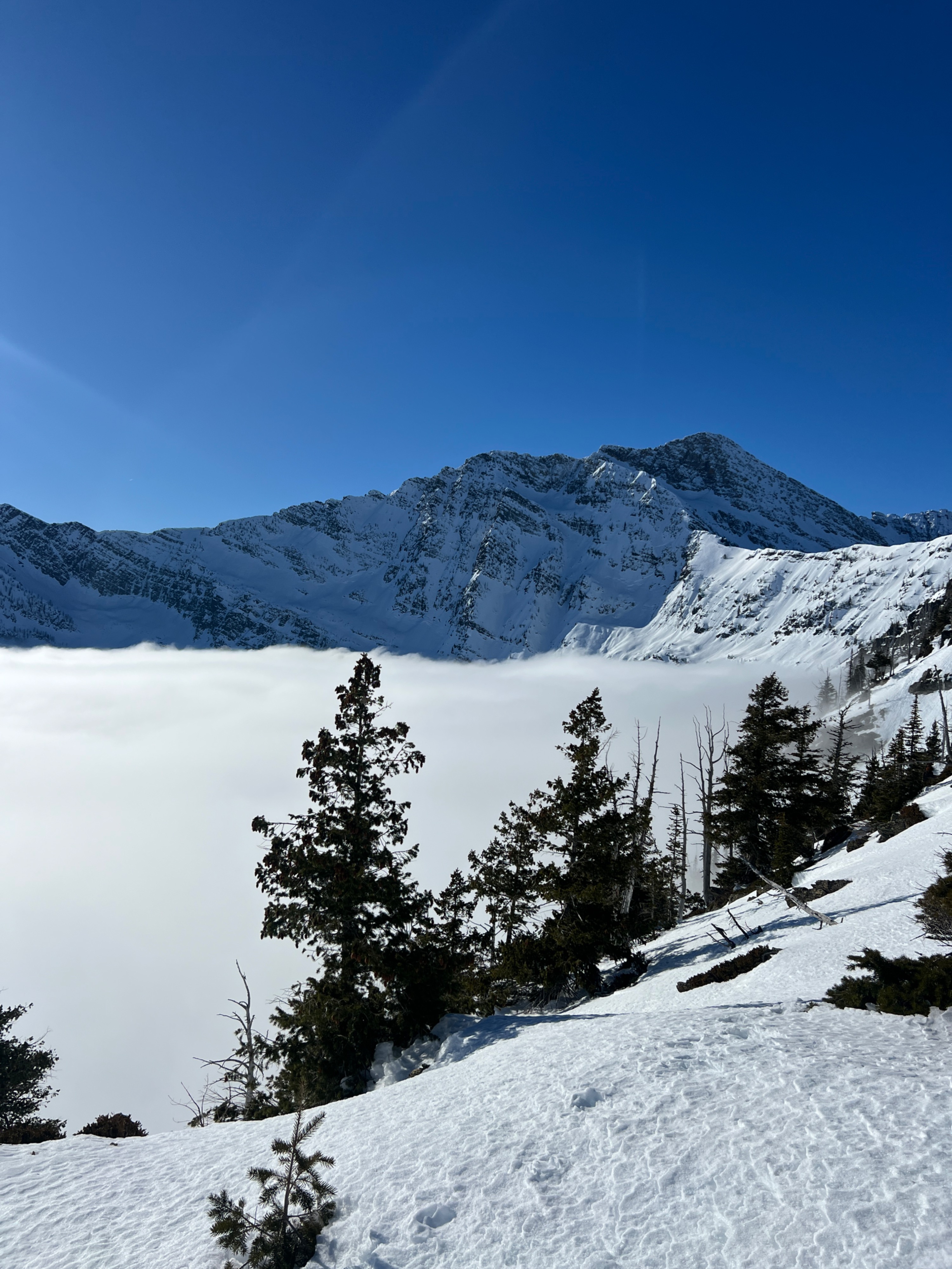
A stunning blue bird day above the high level inversion. Ample sunshine above the clouds softened south facing slopes. Below that, temperatures were cooler and breakable to supportable surface crusts exist on most slopes. Lots of dry faceted snow is continuing to advance day by day under this spell of high pressure with cold night time temperatures.
Surface hoar is widespread on the variable crust, with the feathers being more elongated and slender.
None observedWeather
- Air Temp
- Not observed
- Cloud Cover
- clear
- Wind Loading
- previous
- Rain Elevation
- Not observed
- Recent Snowfall
- 0
- Snow Avail For Transport
- small smounts
Another thick inversion with a higher hanging stratus deck from previous days. We finally broke above the clouds around 6500' and welcomed abundant sunshine and warmer temperatures. Clear skies above the inversion, and overall light winds. Wind speeds picked up along ridge line around 3pm from the N/NW.
Snowpack
We found quite a few similarities in the East Cabinets that we are seeing in the other zones in the forecast region:
-Like other observations, surface hoar is growing widespread and is getting to be very large in sheltered locations between about 4500'-5500'.
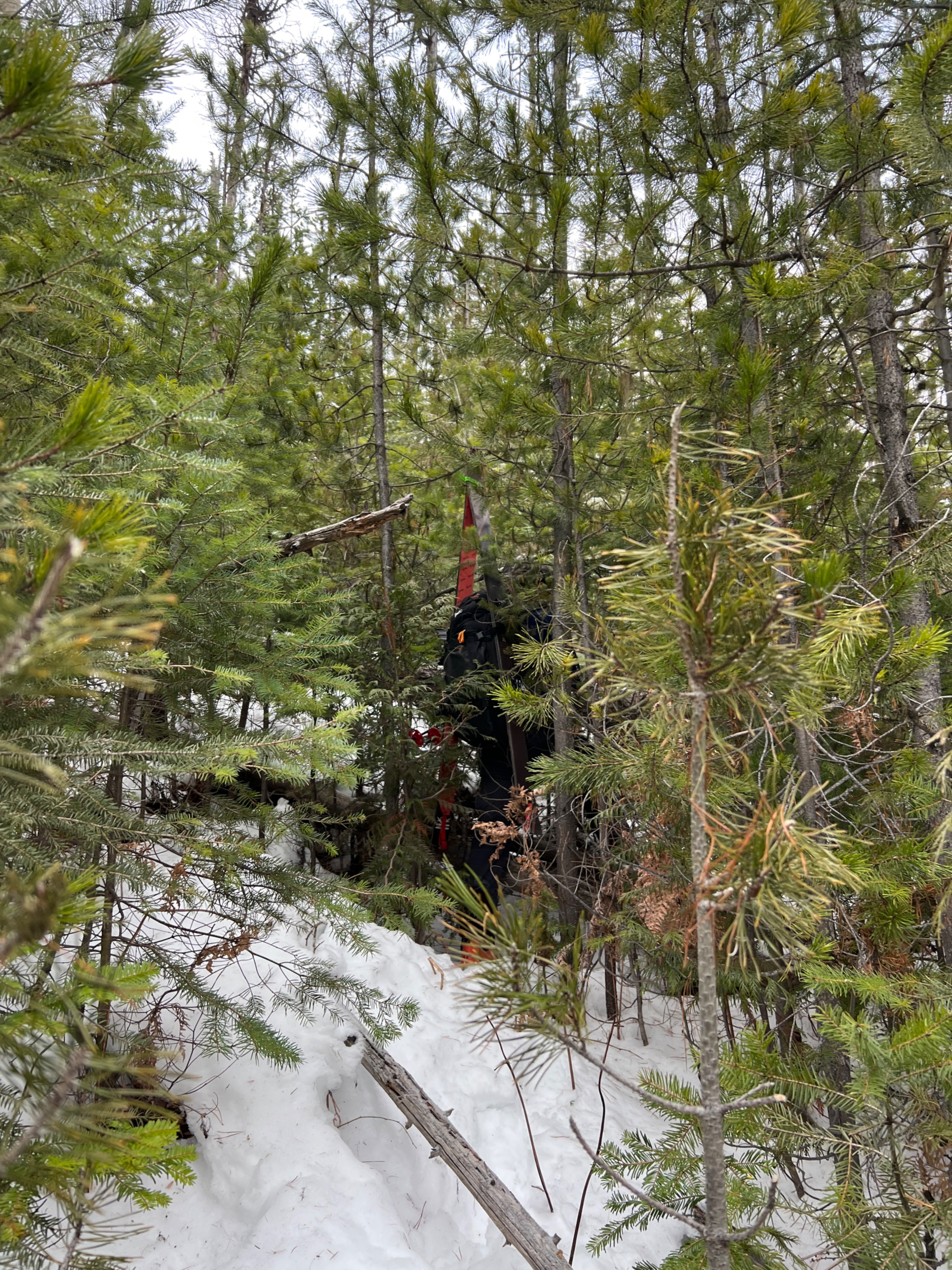
-Low snow coverage below tree line.
-Surface conditions were a mixed bag, but most slopes had some form of a breakable crust. The exception was south facing and solar aspects above the inversion, which had softened up enough to be very close to corn skiing. Below the inversion, which was persistent all day and reached up to about 6500', southern slopes were firm and refrozen.
-Where a surface crust is present, the snow below is faceted, weak and dry.
Avalanche
- Size
- D2.5
- Count
- 3
- Aspect
- E
- Trigger
- N
- Elevation
- 8050 ft
We saw numerous crowns on the east face of Snowshoe Peak, and a couple near A peak and the surrounding mountains. All avalanches were old, and likely failed around January 12 during the significant warming event.