
Quick report
- Cracking
- isolated
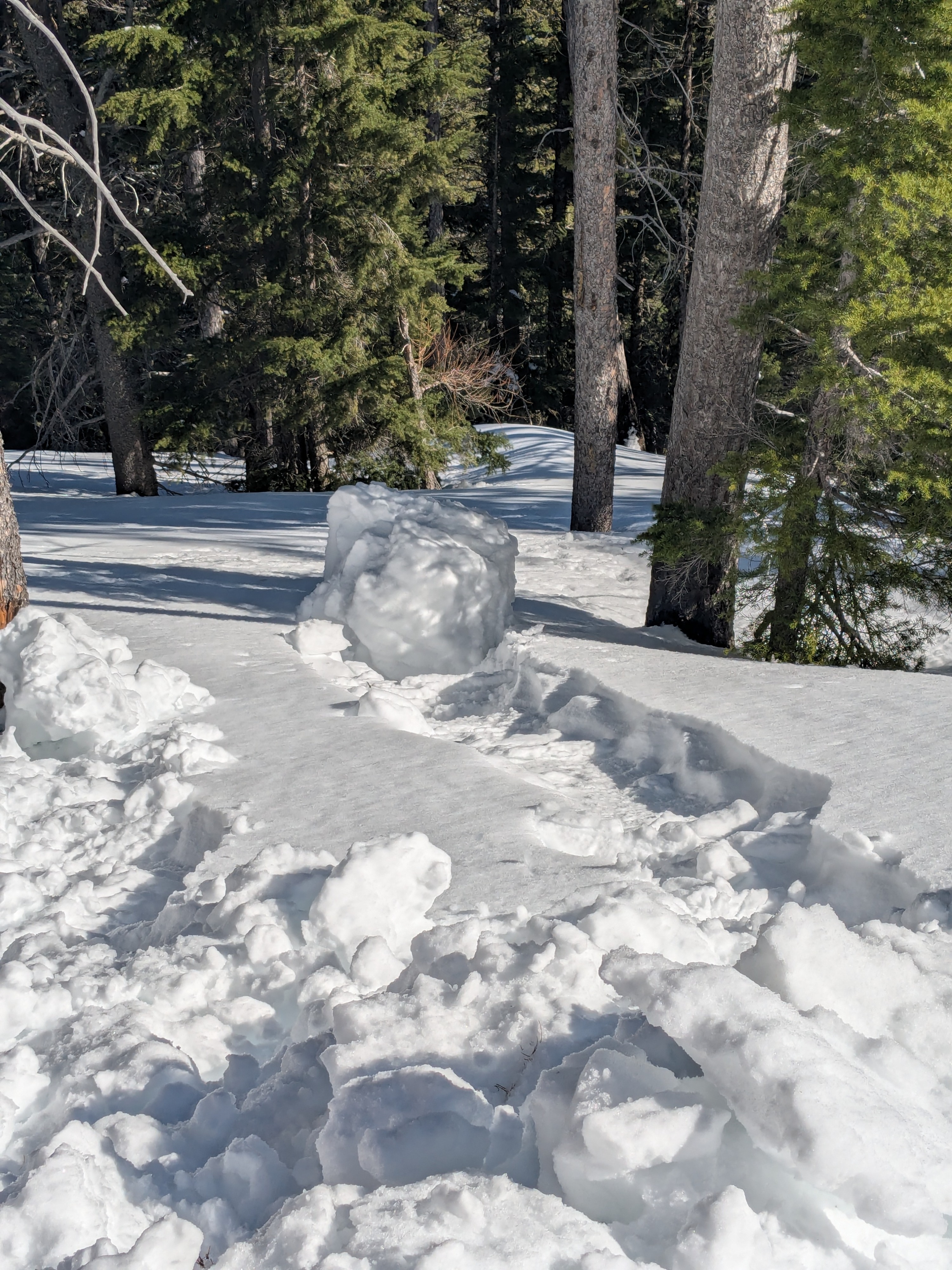
The snow surface has begun to shed from abundant sunshine and warming temperatures. As temperatures climb to near 40F in the coming days, the threat for wet snow hazards will continue and potentially increasing. The snowpack is currently in a stubborn state, but a complex upper snowpack layering has problematic potential from a number of weather influences. As storm snow consolidates into a more cohesive slab, it may make trigger a slide near the surface more likely. Have an investigative mindset and evaluate the consequences before blindy jumping into steeper terrain.
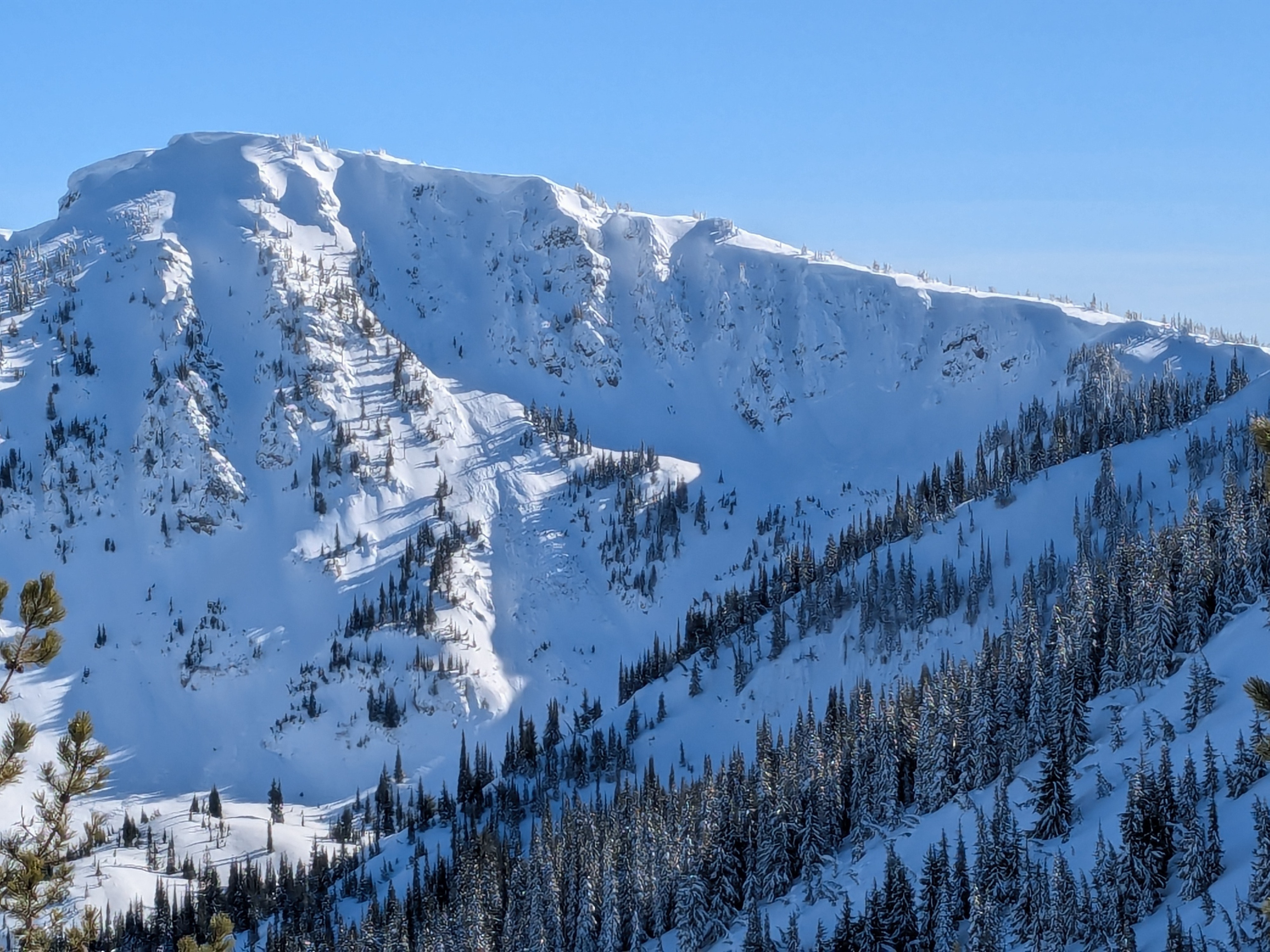
Small wet loose avalanches (likely in the previous 24 hours) were observed on solar aspects around rock bands and steep terrain. These small releases were classic fan shaped, and got bigger as they spread out. Older avalanches that likely failed during the last storm cycle still had visible crowns and debris piles. The larger slab avalnches were observed on north and east facing aspects in steep terrain below a ridgeline.Weather
- Air Temp
- 40
- Cloud Cover
- few
- Wind Loading
- light
- Recent Snowfall
- 10 to 20
- Snow Avail For Transport
- small smounts
Low hanging valley clouds cleared in the morning and gave way to a bright and sunny day. Mountain temperatures hit 40F degrees . Snow was observed transporting along a high ridge in the morning but decreased and was inconsistent for the rest of the day after that.
Snowpack
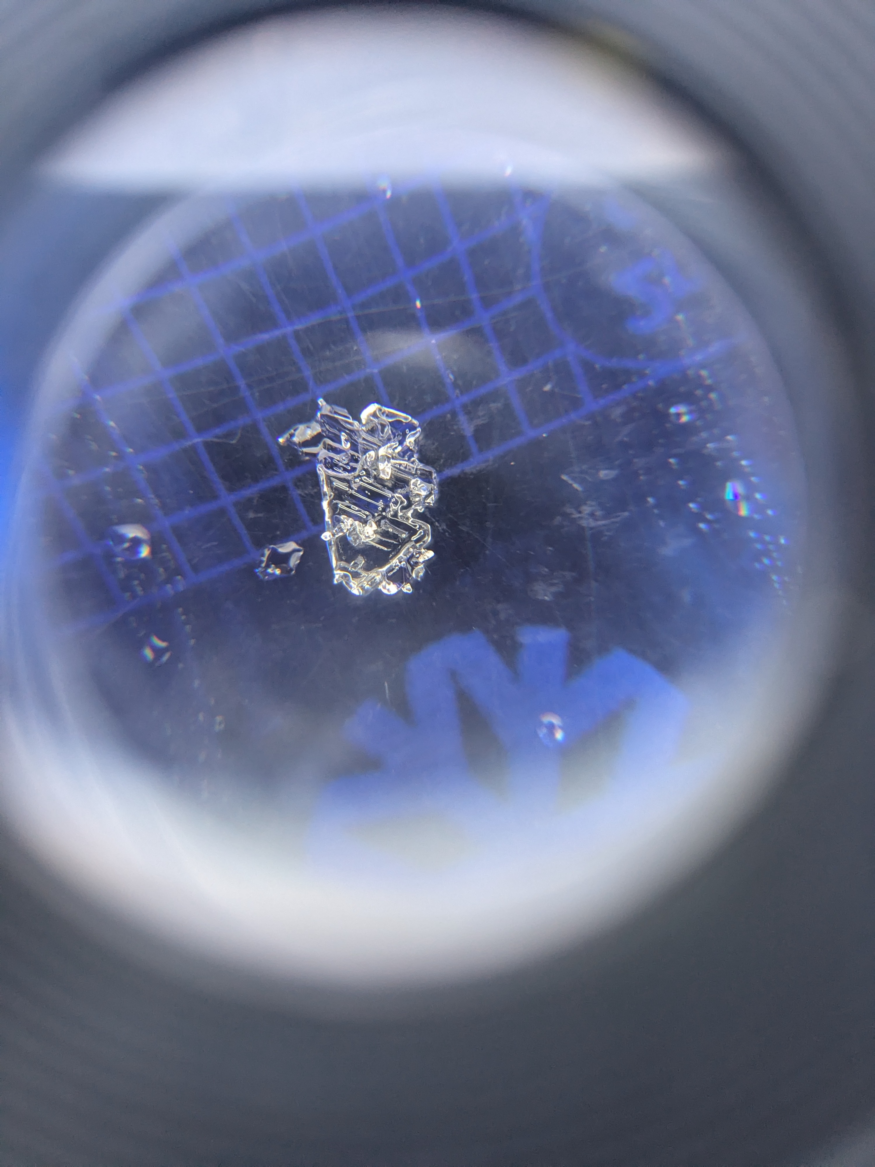
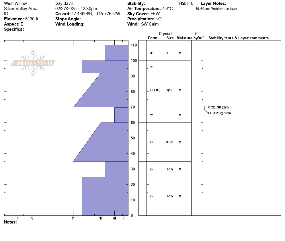
Our most notable snowpack results were on an east-facing slope around 5,100 feet. We observed CT SP 20 and ECTP 20 in wetted JDL grains. This interface is around 40 cm deep. This set up on sunny slopes is a prime Wet Slab avalanche setup - more likely from rider or human triggering versus natural occurrence. We noted a lessening influence of recent rain wetting the snowpack around 5,700 feet. Below this elevation, the snowpack is mostly wet and moist grains to the ground. Above that, we found a mostly dry snowpack and wet/ moist grains confined to the surface and associated with the recent rain crust. The JDL layer at mid and upper elevations is still dry and we found lingering surface hoar 8 to 12 mm on a northeast aspect at 6,100 feet. The rain crust in our northeast pit was on average 8 cm thick with faceting above and below. This robust layer is likely helping keep the snowpack in check until it gets wet from more rain or softens from accelerated snowmelt. Winds were moving snow onto leeward slopes and we encountered a few drum sounding slabs near ridges. One produced a fast shooing crack with ski pressure but didn't produce moving snow.
Avalanche
- Size
- D2
- Type
- HS
- Count
- 4
- Aspect
- N
- Trigger
- N
- Elevation
- 6700 ft