
Quick report
- Cracking
- isolated
- Collapsing
- isolated
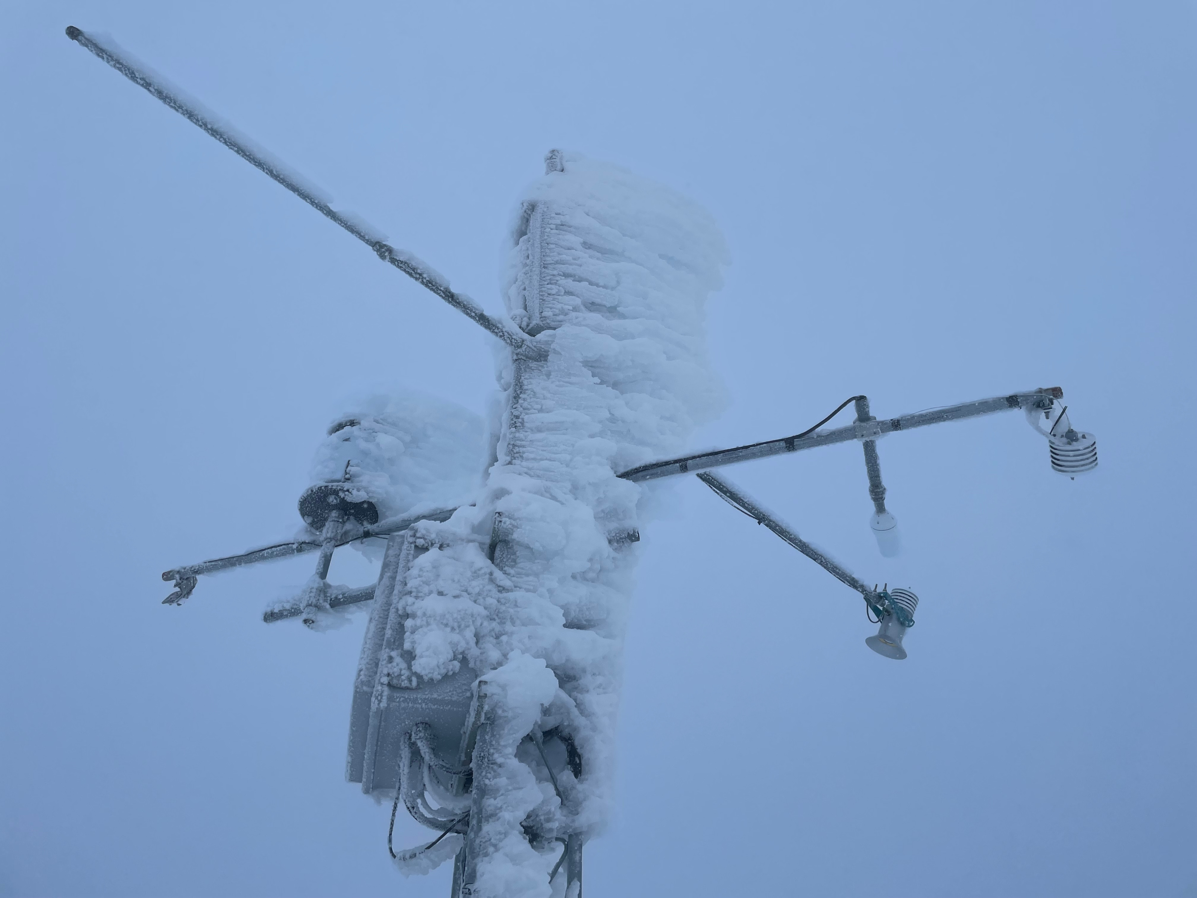
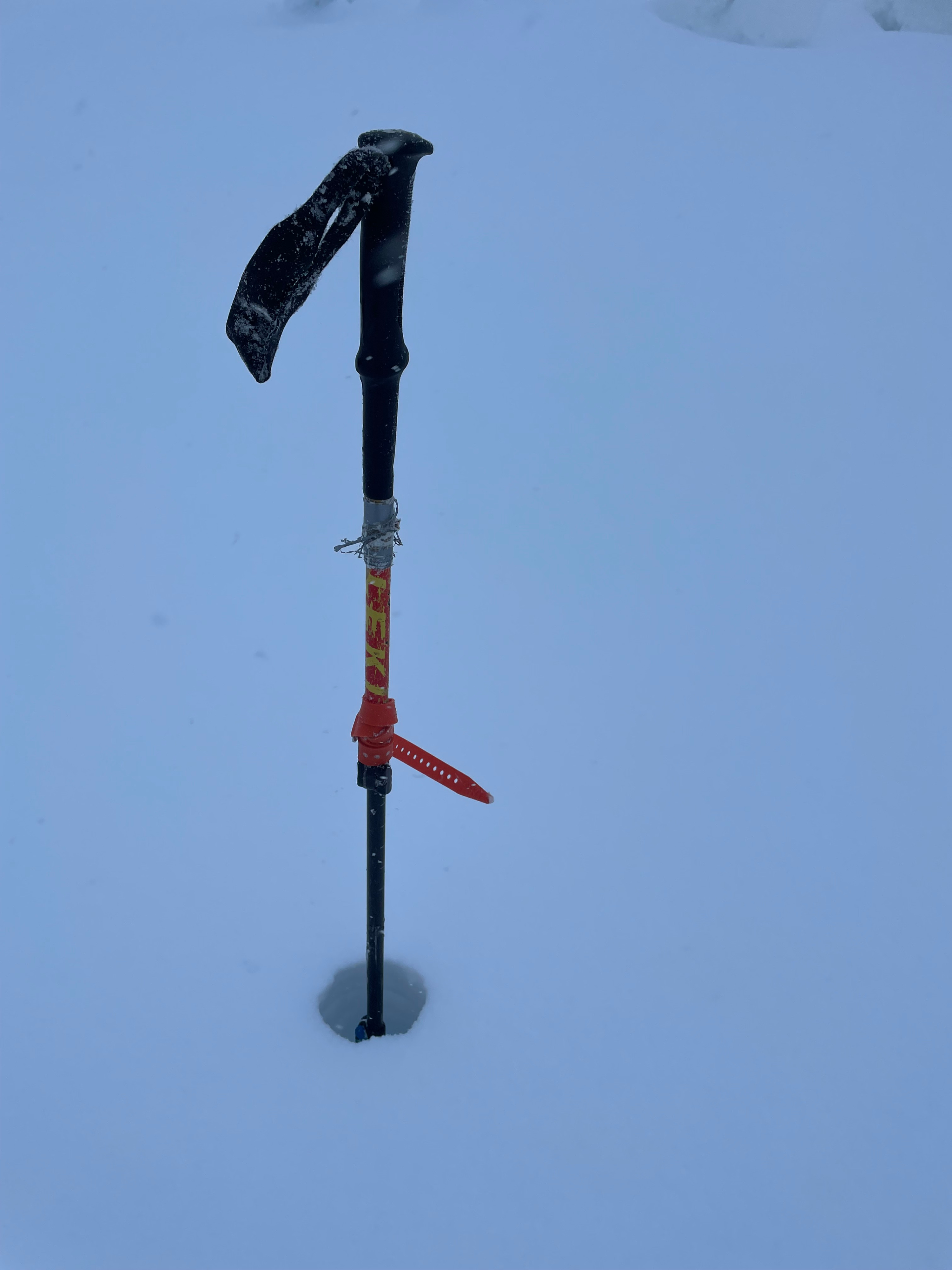
The Lutak Zone saw storm totals from today in the 6-8"+ range and totals from this long weekend of about 2ft. Above 2,000' yesterday's thin "cruel" freezing drizzle crust seemed to get worse and acted like a zipper crust riding down. Checked out the weather station for future servicing and probed 8ft+ total snowpack height at 2,500'.
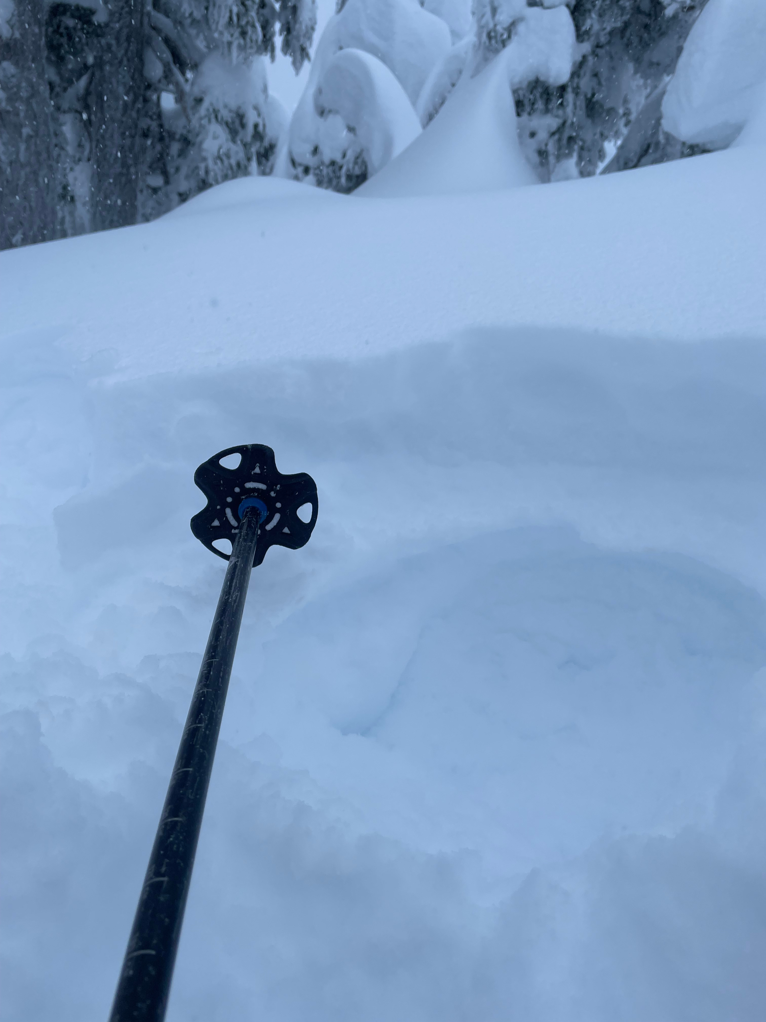
There was cracking with the new snow over the freezing drizzle crust that happened yesterday. Above 2,000ft had isolated and soft collapsing on deeper weak layers.Weather
- Air Temp
- 25
- Cloud Cover
- obscured
- Wind Loading
- none
- Recent Snowfall
- 15
- Snow Avail For Transport
- moderate amounts
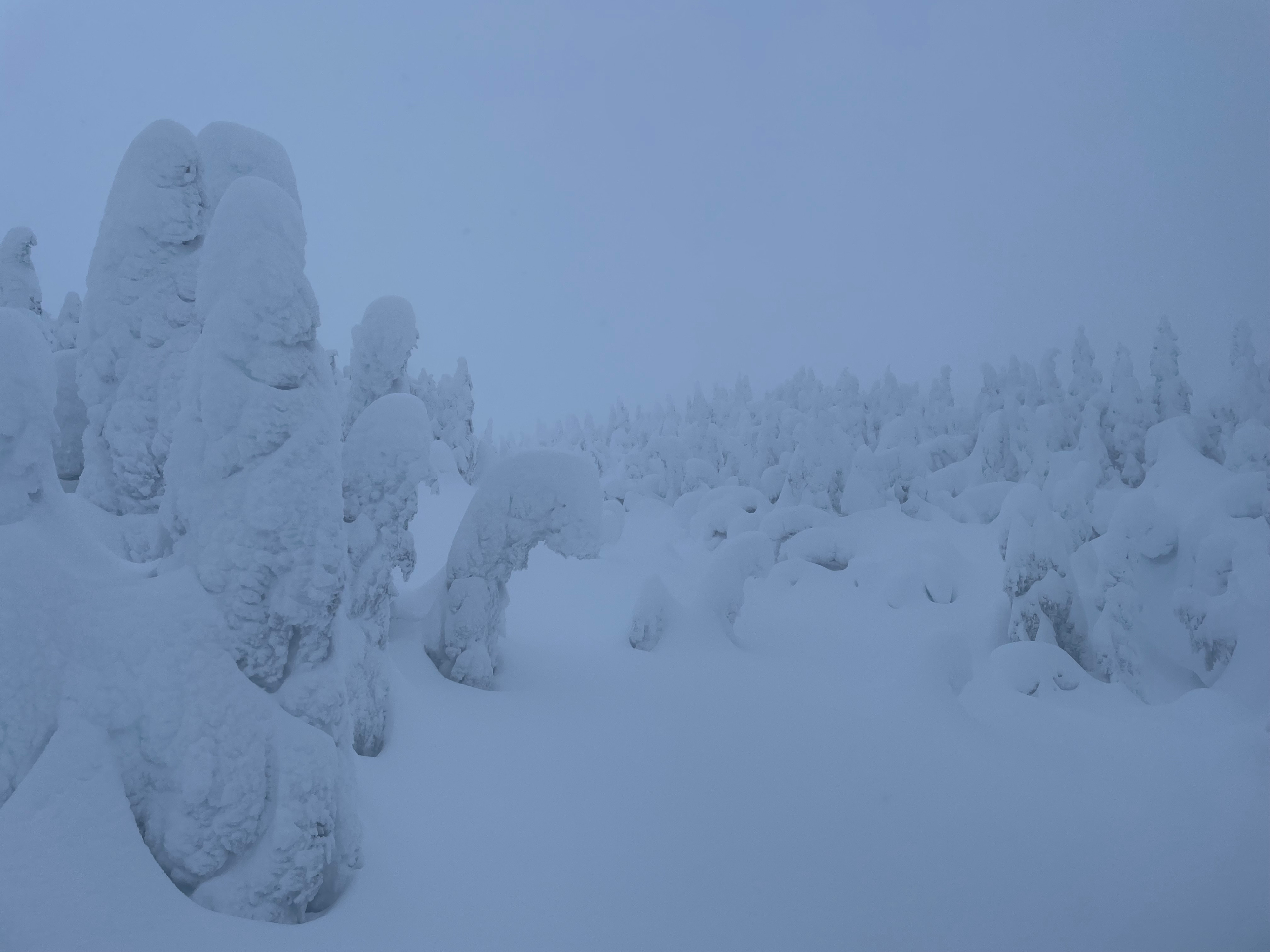
Overcast and snowing. Temperatures stayed below freezing the whole way. Light south winds near tree-line with a few gusts.
Snowpack
A thin 1mm freezing drizzle crust capped over 50cm+ of new snow since Friday with 15cm of new snow on top. This cruel freezing drizzle crust was more noticable the higher in elevation as we climbed and in open areas out the trees. Total snowdepth at the Ripinsky Weather Station at 2,500' was 250cm. The snow sensor is tilted slightly from pointing straight down which is why the station is reporting 50" as opposed to the actual 100". It also is not picking up on new snowfall total accurately which came as a suprise breaking trail in almost two feet of snow. The anemometer that measures wind speed and direction is rimed and not reporting.
Please don't attempt to service the station without contacting HAC staff. Submit field observations to help verify snow depths and snowfall totals.