
Quick report
This was mainly an assessment day to determine the extent of any flood damage to common access points in the East Central Zone north of Leavenworth. Thankfully, once we finally see some valley snow, access looks okay along these corridors. While I can't say there isn't more damage as you get closer to the Cascade Crest along these roads. You can still easily access the common Sno-Parks.
Little Wenatchee: The road is gated at the typical snowpark, and there is no flood damage or downed trees up to this point.
White River: Has obvious signs of flooding and shoulder damage, but the road is easily passable until it turns to dirt at approximately mile 6. At this point, a small stream crossing had deep mud and ruts. I stopped here, but other wheeled vehicles had continued further up the road.
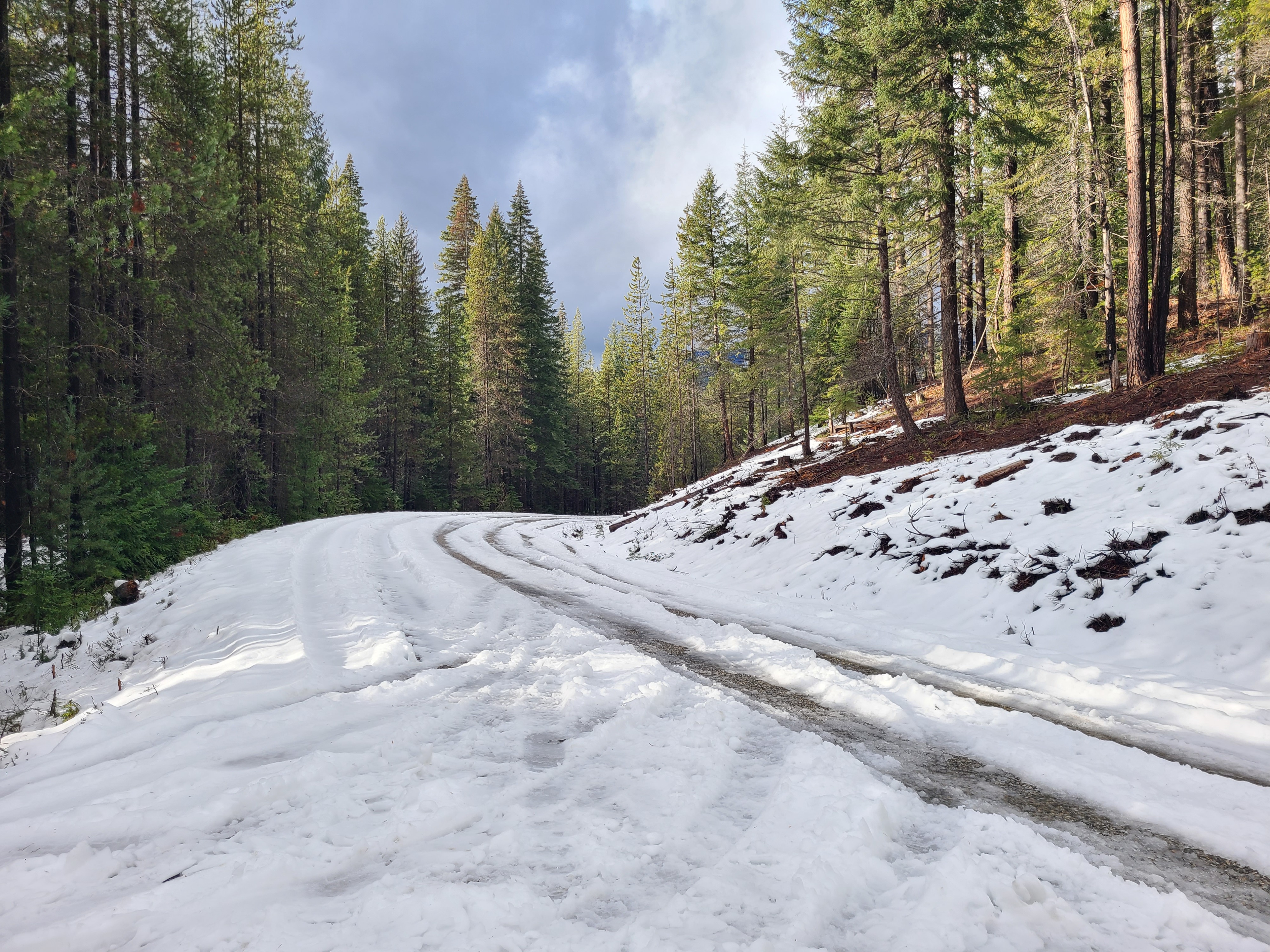
Chiwawa: Clear to the Sno-Park and up to Grouse Creek Campground, except for a couple of small downed trees that you could drive around. Interestingly enough, I found some longer patches of snow and ice here at the campground at 2600ft in a shady, sheltered spot and decided to turn around.
Weather
- Cloud Cover
- overcast
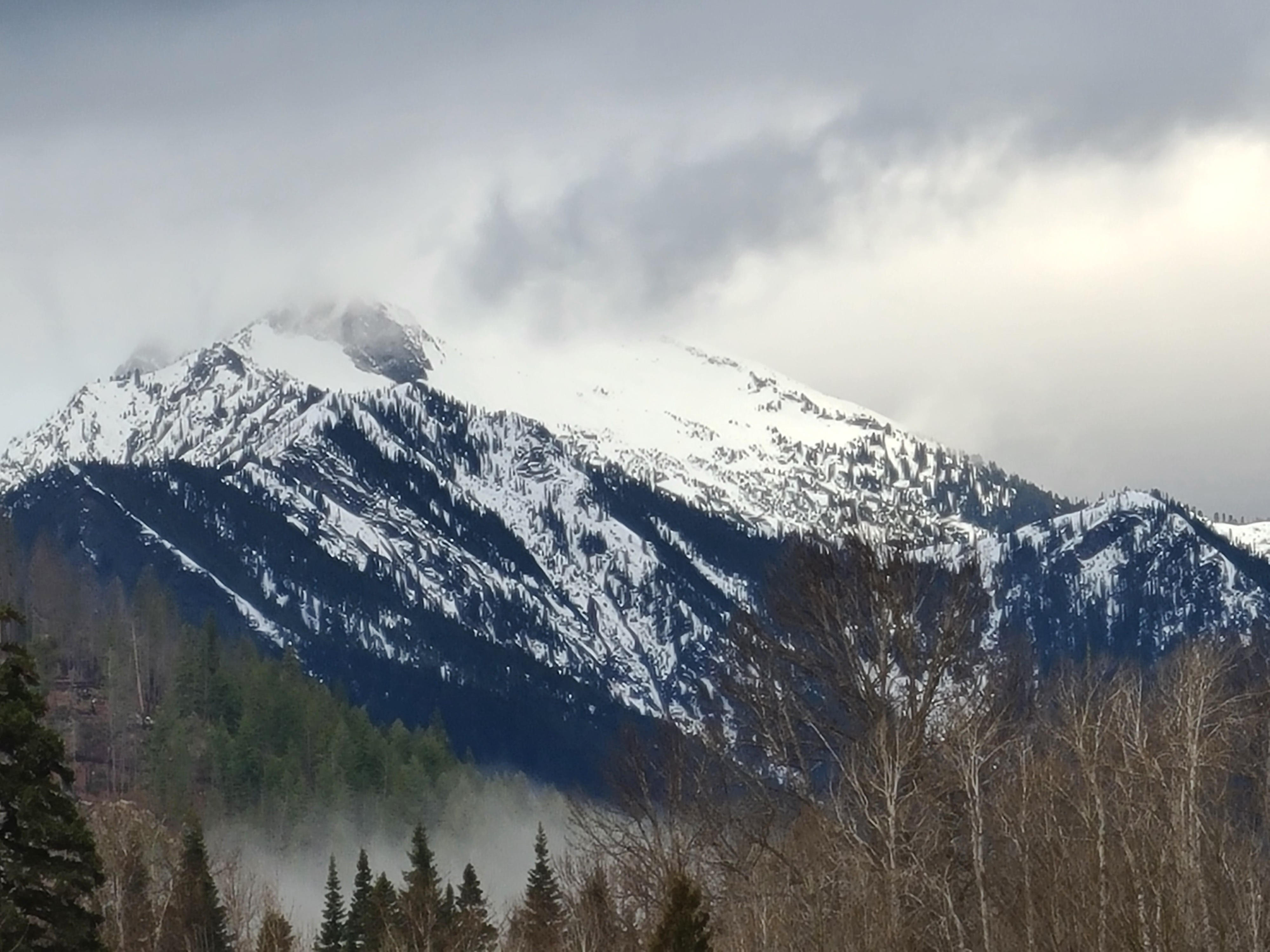
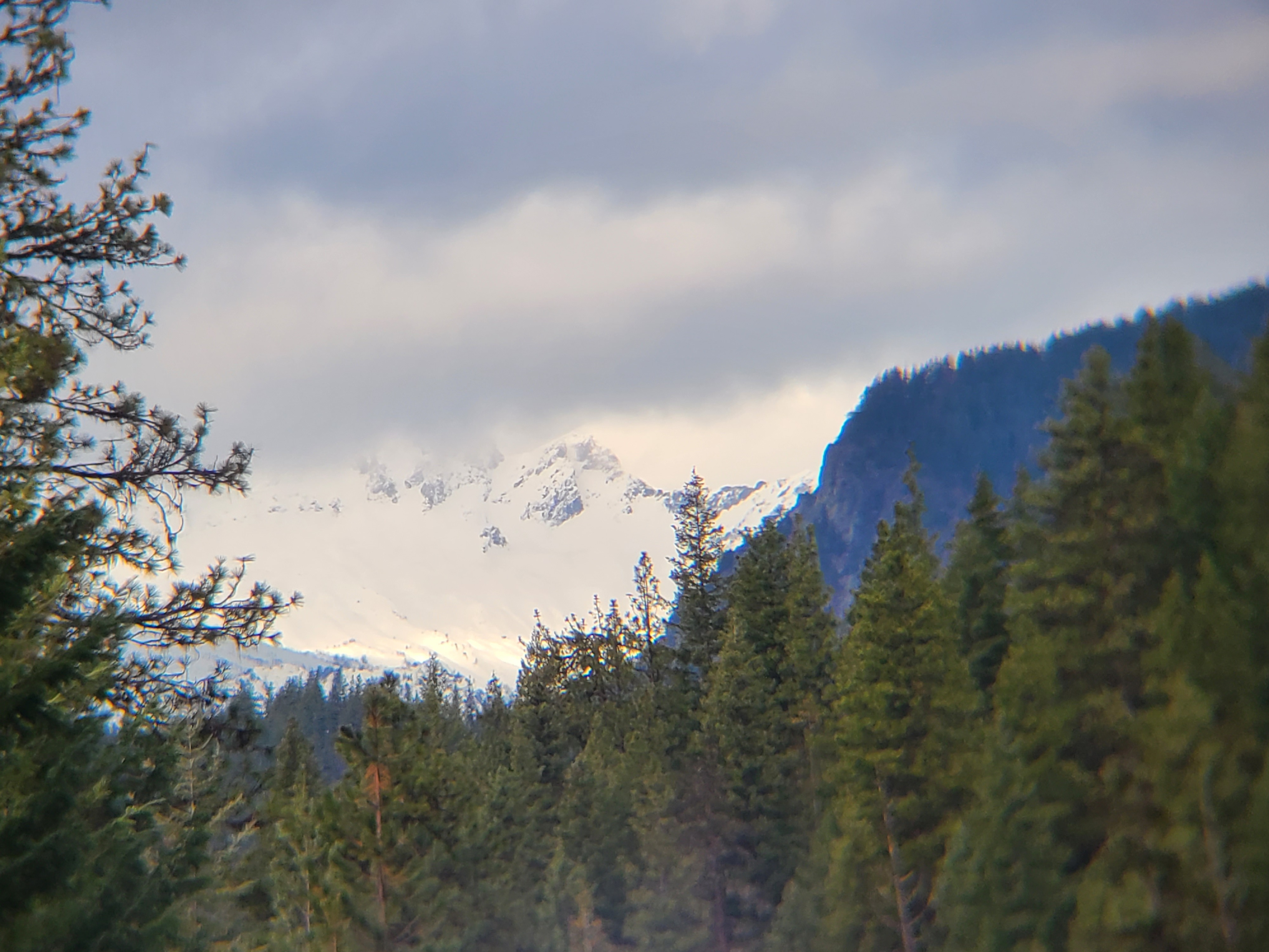
Temperatures continue to be unusually mild for December, and there wasn't any wind to speak of down in the valleys. Mostly overcast skies in the eastern part of the zone, but significantly more cloud cover closer to the Cascade Crest. A few sprinkles made it over the crest, but no real precipitation fell during the morning on the east slopes in this area.
Snowpack
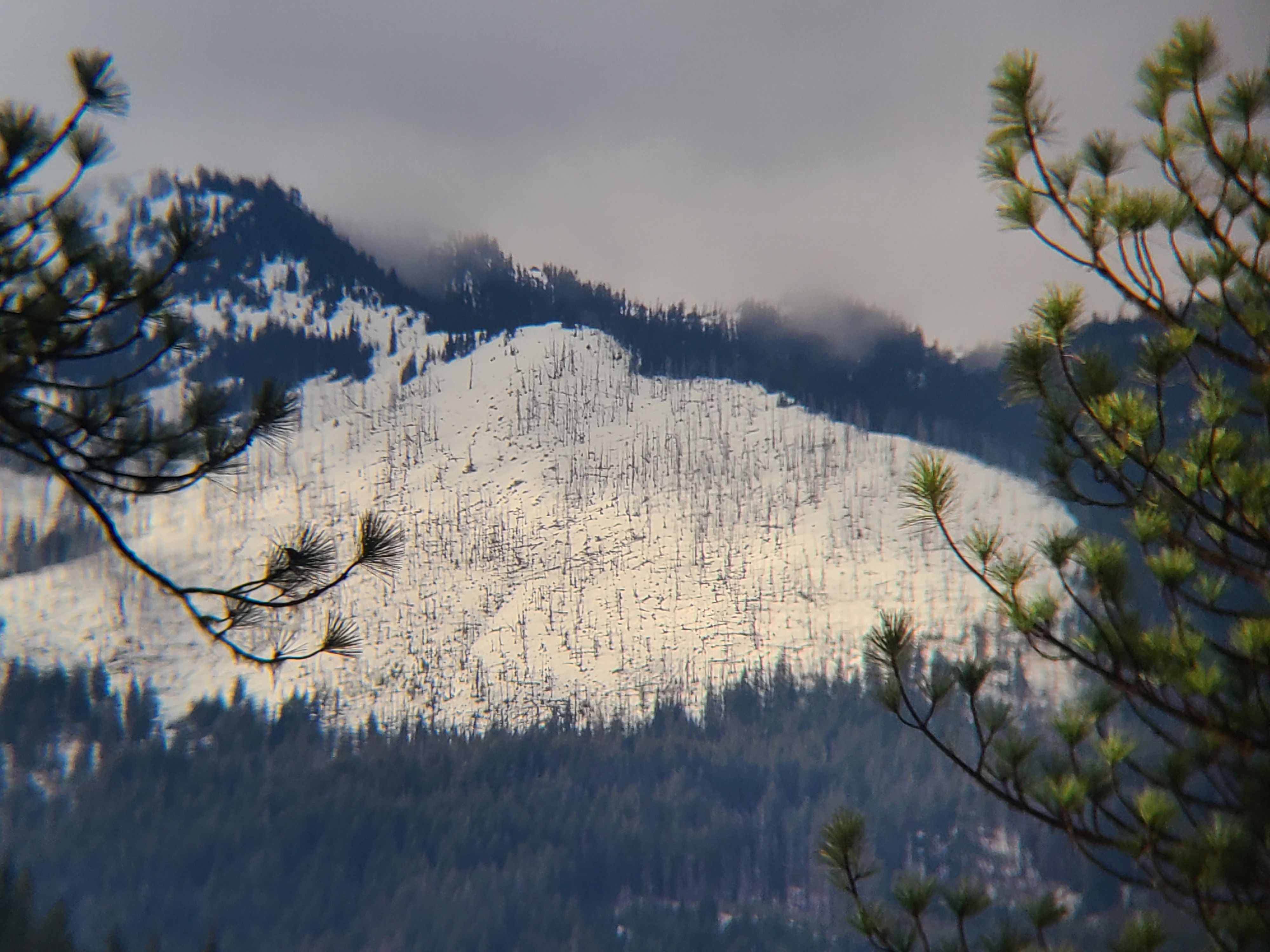
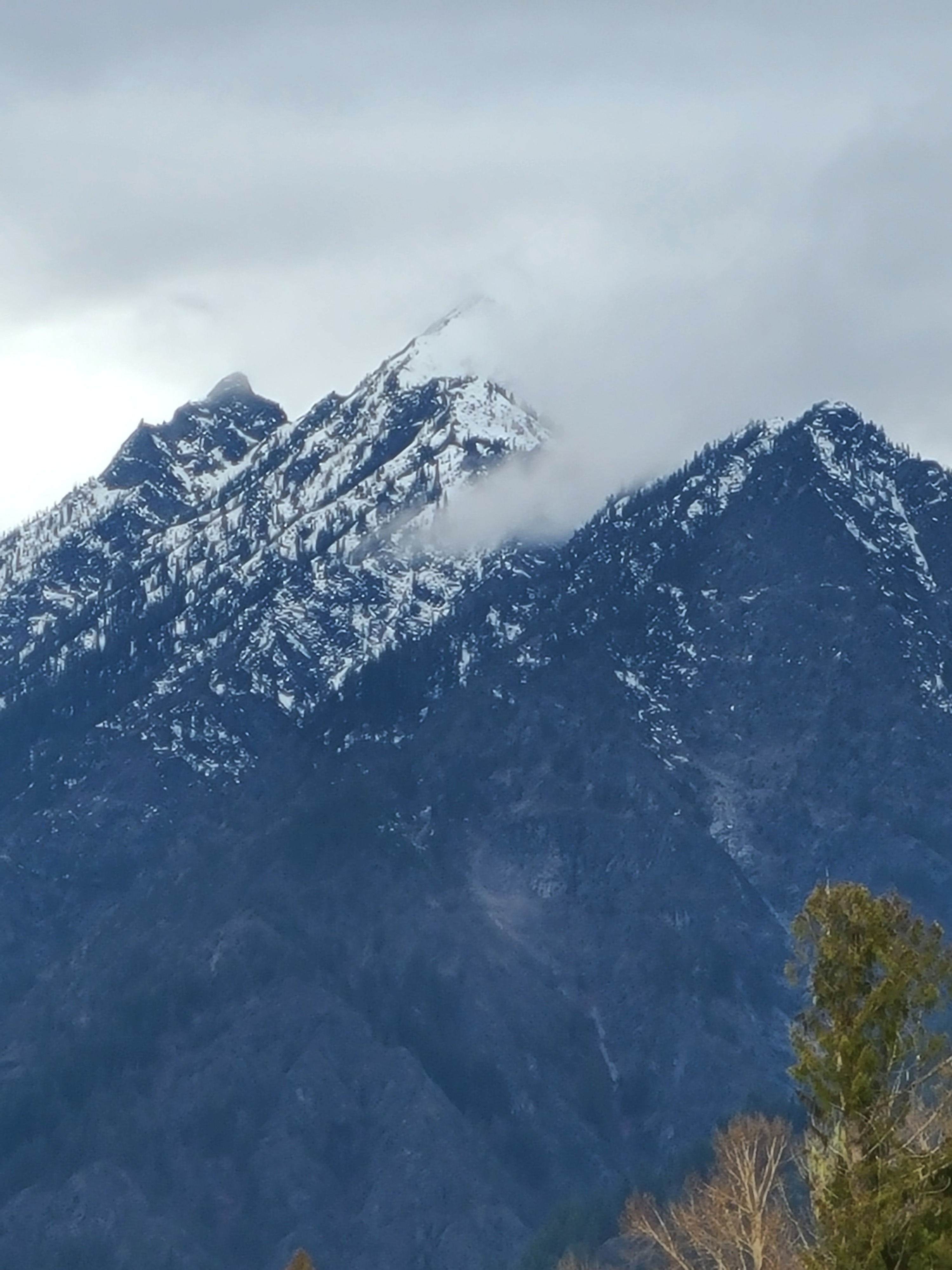
Snowpack varies by aspect, but in general, recreational depths of snow look to begin above 5500ft. North and East aspects are holding onto better coverage than South or West aspects, which remain bare well into the upper elevations.
A look around with my lens showed no signs of recent avalanche activity. But I expect that after all the rain, avalanche debris would be hard to spot from these distances.