
Quick report
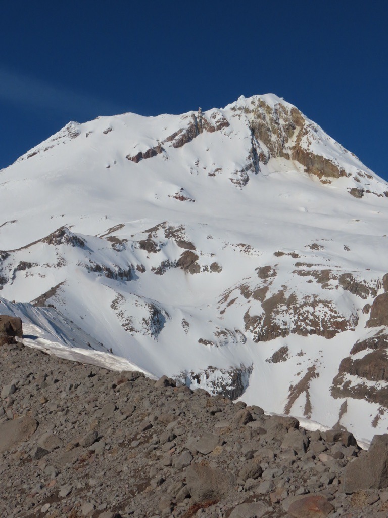
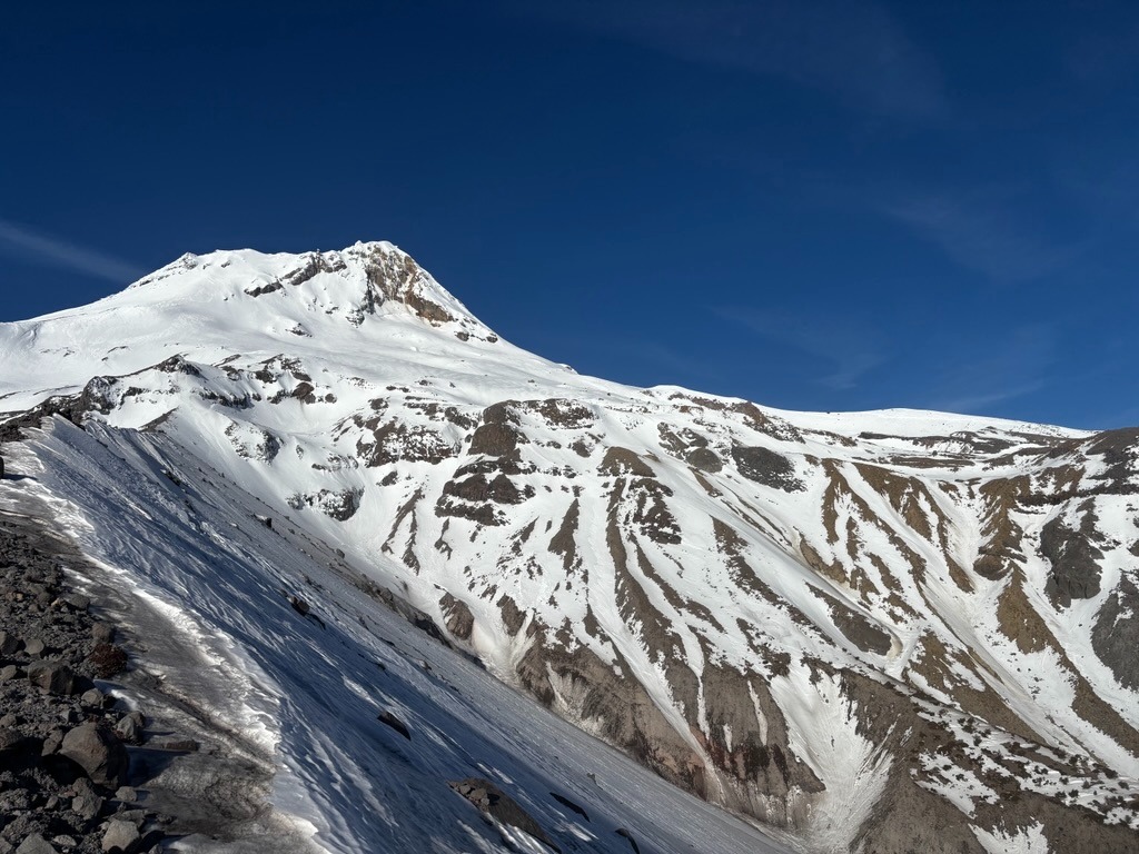
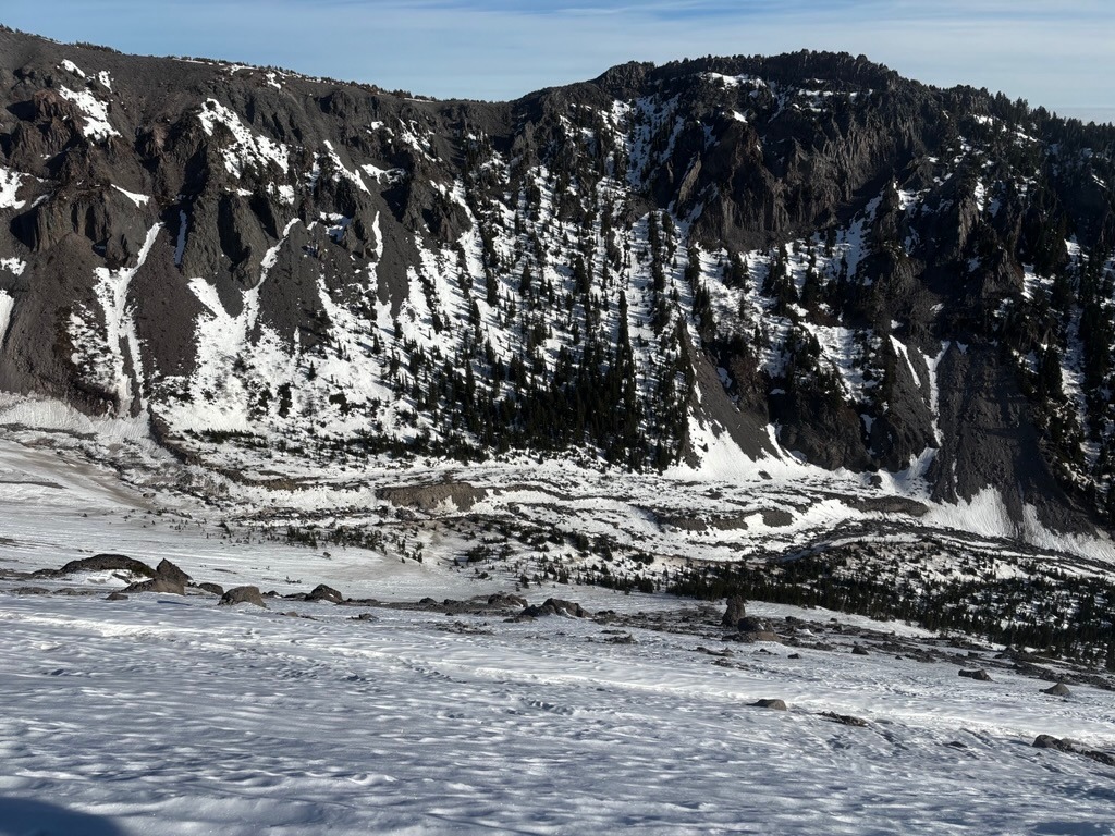
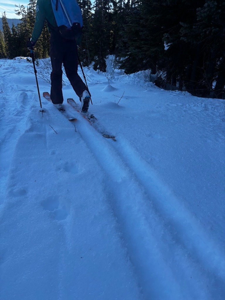
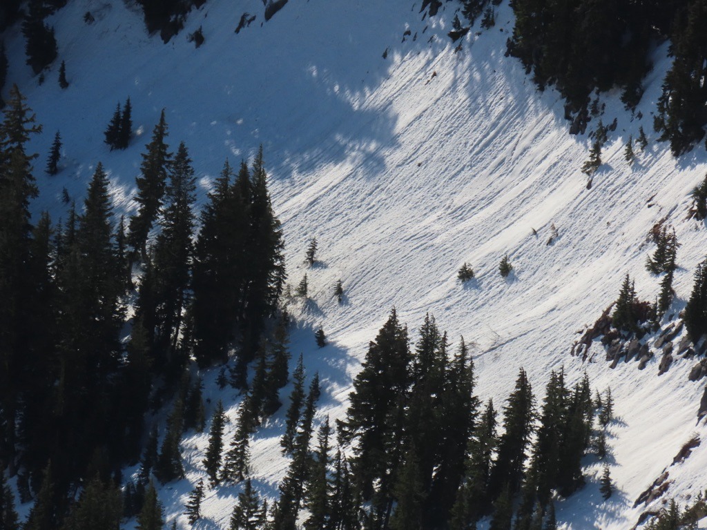
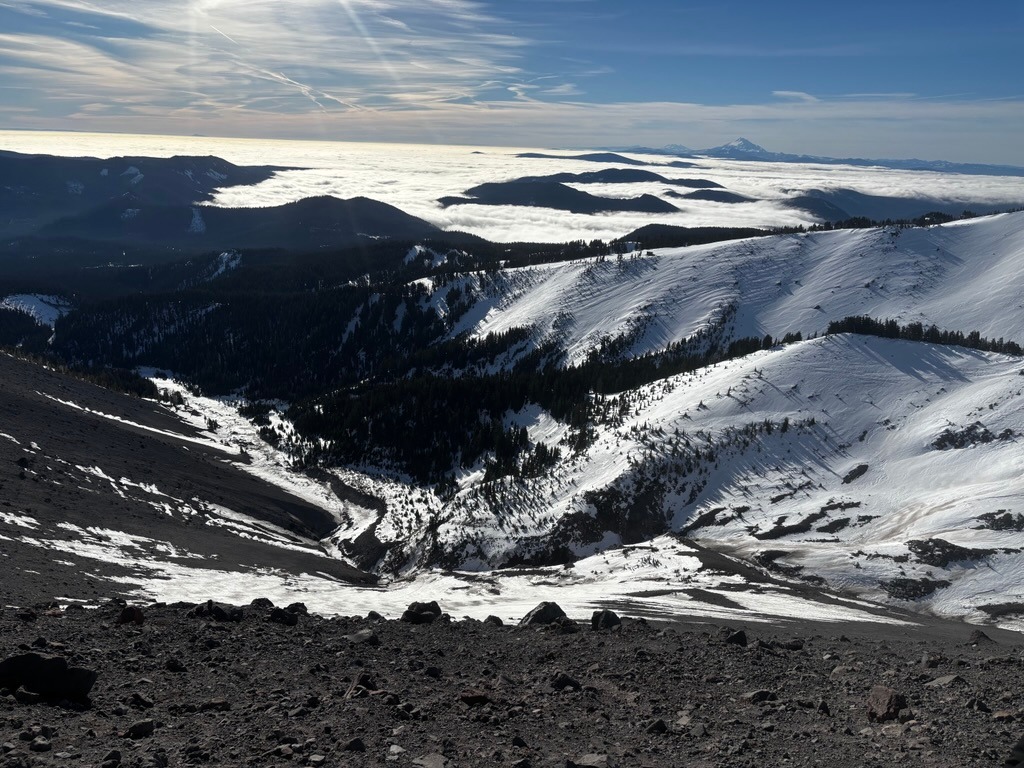
The snowpack has endured a beating with over a week of high pressure around Newton Canyon. It's receded significantly around south-facing rock bands and along previously wind-scoured areas, such as west-facing canyon walls. The snowpack resembles something you'd see in November or late June rather than late January. There really isn't much left to come down avalanche-wise. Slick surfaces and challenging low-elevation travel were our bigger concerns on today's tour. Today was a good reminder that a small avalanche or long, sliding fall would not look pretty with all the rocks, creeks, and trees that plague the run-outs of steep slopes.
Weather
- Air Temp
- 40s
- Cloud Cover
- few
- Wind Loading
- none
- Recent Snowfall
- 0
- Snow Avail For Transport
- none
Snowpack
Dry, faceted surfaces are isolated but can still be found on north-facing, wind-sheltered terrain or in canyon bottoms that have remained significantly colder during recent inversions. E-S-W aspects have caught enough sun and warming to be in a daily melt-freeze cycle. North aspects above 6500 ft are staying locked up through the day with a mix of old wind-drifted snow or firm crusts.