
Quick report
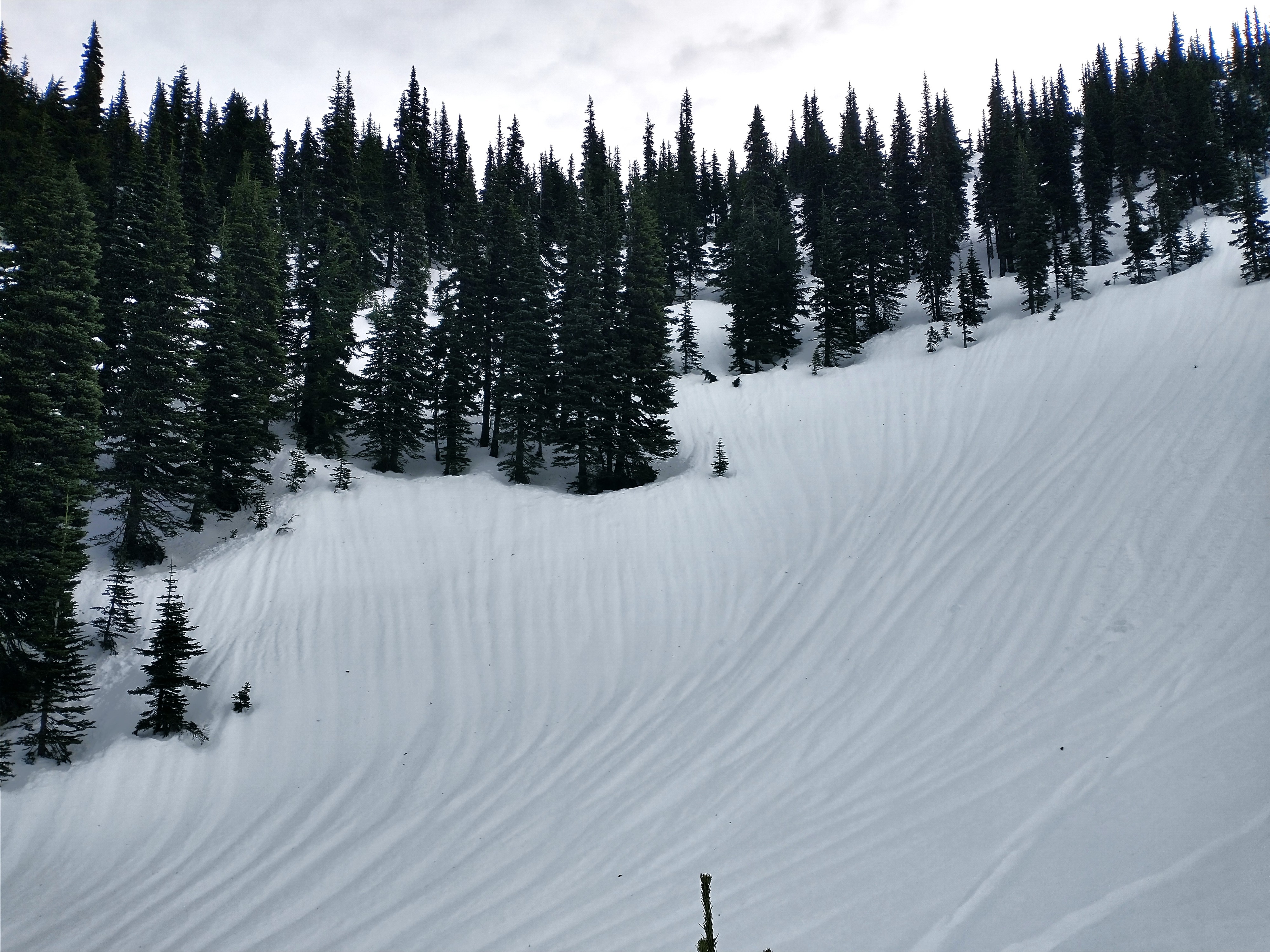
Well, we certainly took a hit this week due to an atmospheric river and multiple days/nights above freezing. The snow surface is variable - in open areas, a mostly ski-supportable crust exists (not boot-supportable) and skis something kind of like corn. As you move toward trees or non-open areas, the crust weakens and is eventually replaced by punchy, heavy snow. These areas produced horrible skiing. May be fun on a sled? But you'd have a tough time keeping your sled cool.
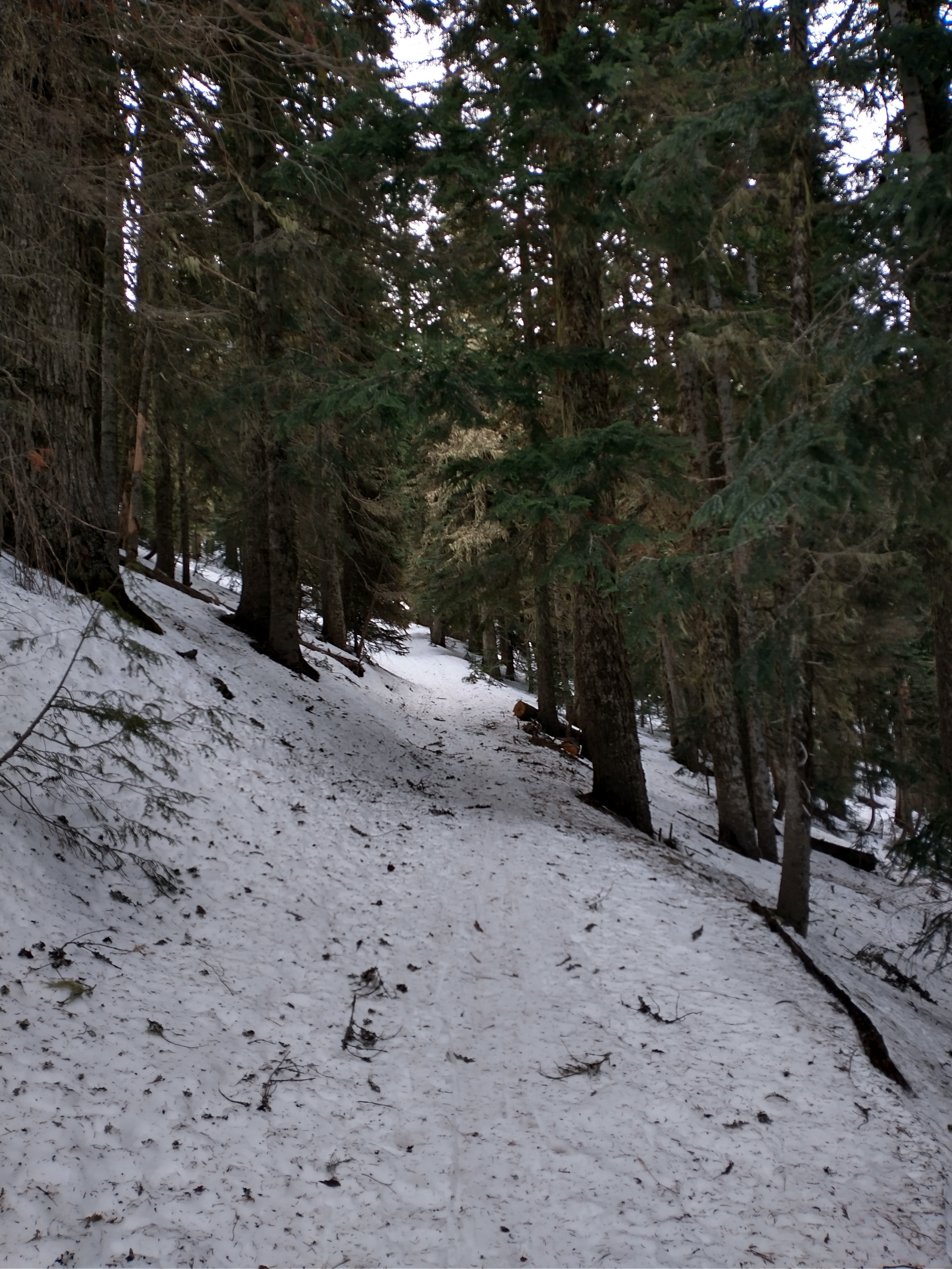
Lower elevations contained no surface crust. Seems like it mostly existed in wind-exposed open areas up high.
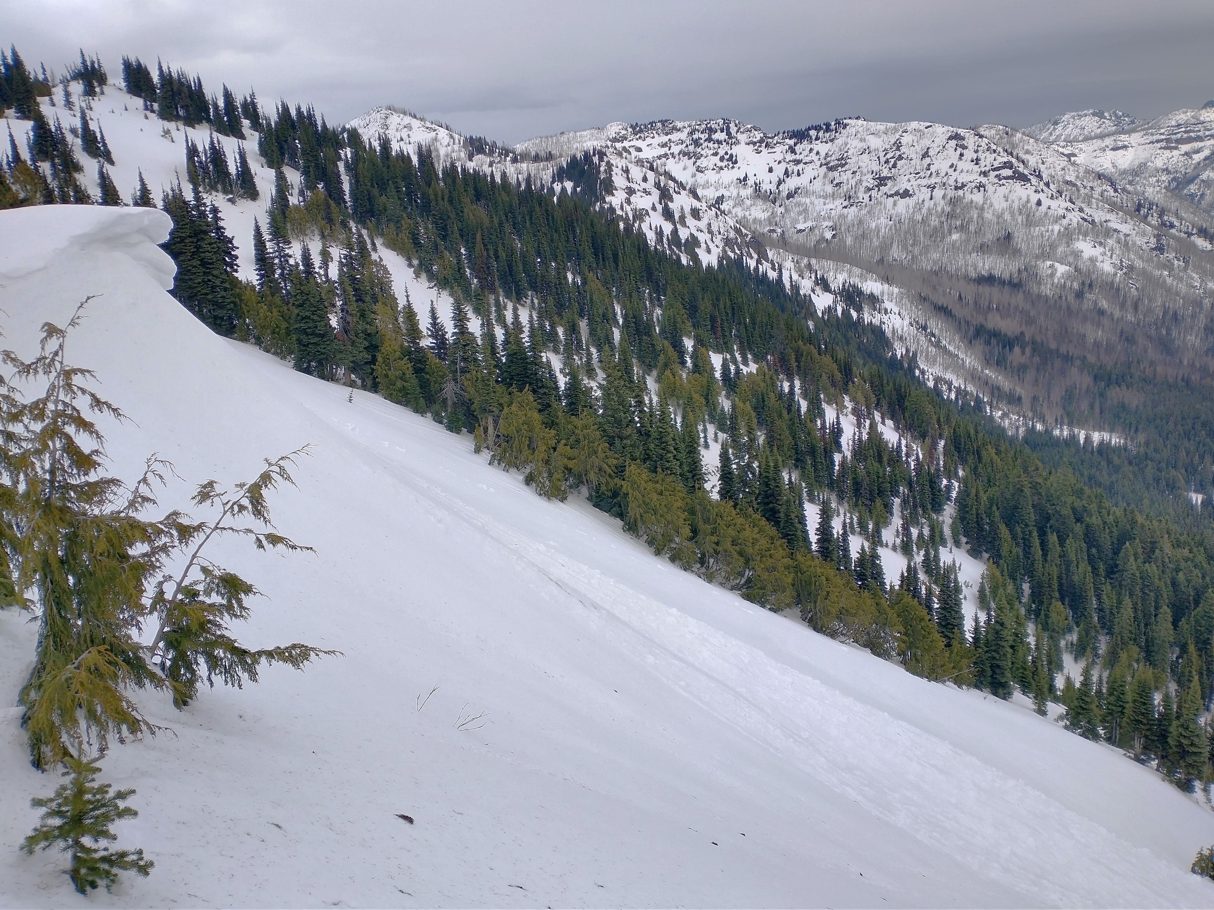
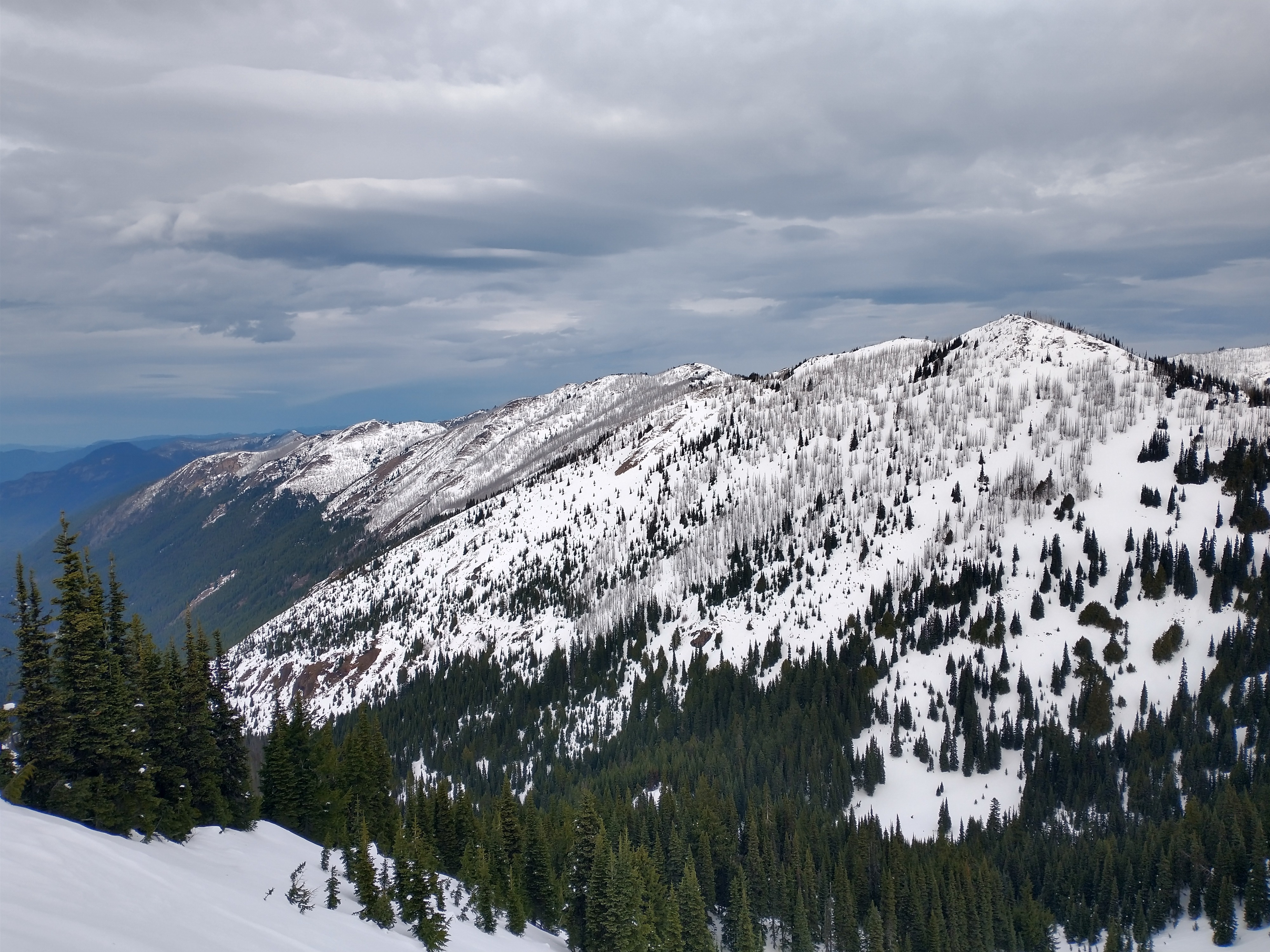
Looking around, the loss of snow is easy to spot. Trees are bare, ridgelines are down to the ground in places, rocks are sticking out everywhere. Coverage is still ok, but holes are coming back out again.
Cornices are really trimmed back - due to flip-flopping winds and the warm weather. Some of them definitely failed this week, but we'll need some more snow and wind to build em back up again.
No red flag signs of instability were noted.
Weather
Very springlike out there today. A warm breeze, a few periods of drizzle, overcast, but warm.
Snowpack
The snowpack has changed a lot in the past week. Our cold, layered, early-season pack is mostly gone. It's been replaced by a warm and wet upper snowpack, with a well-settled mid and lower pack.
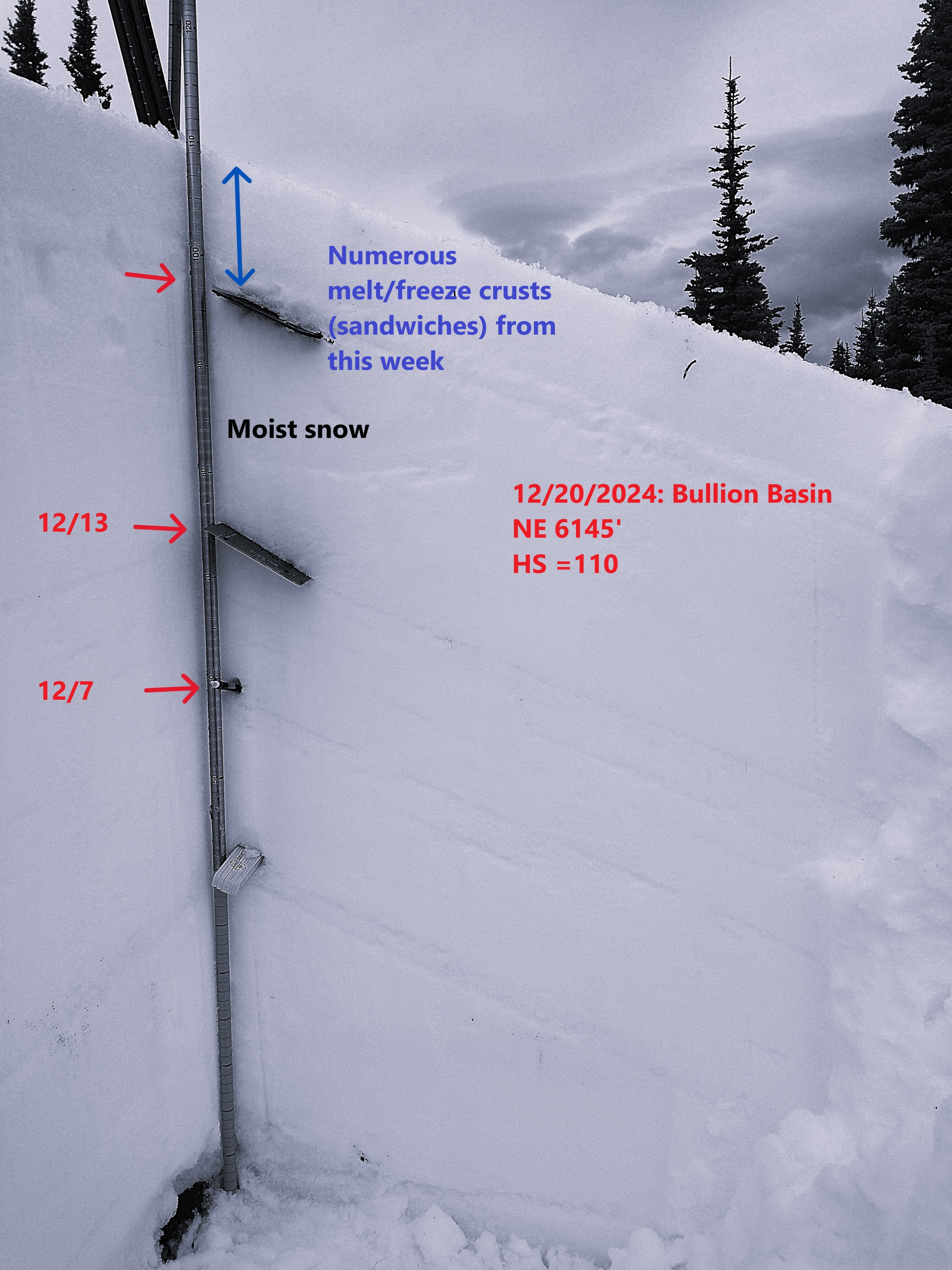
NE 6145' - HS was 110cm, a significant drop from prior to the storm when we were closer to 150-180cm in that area.
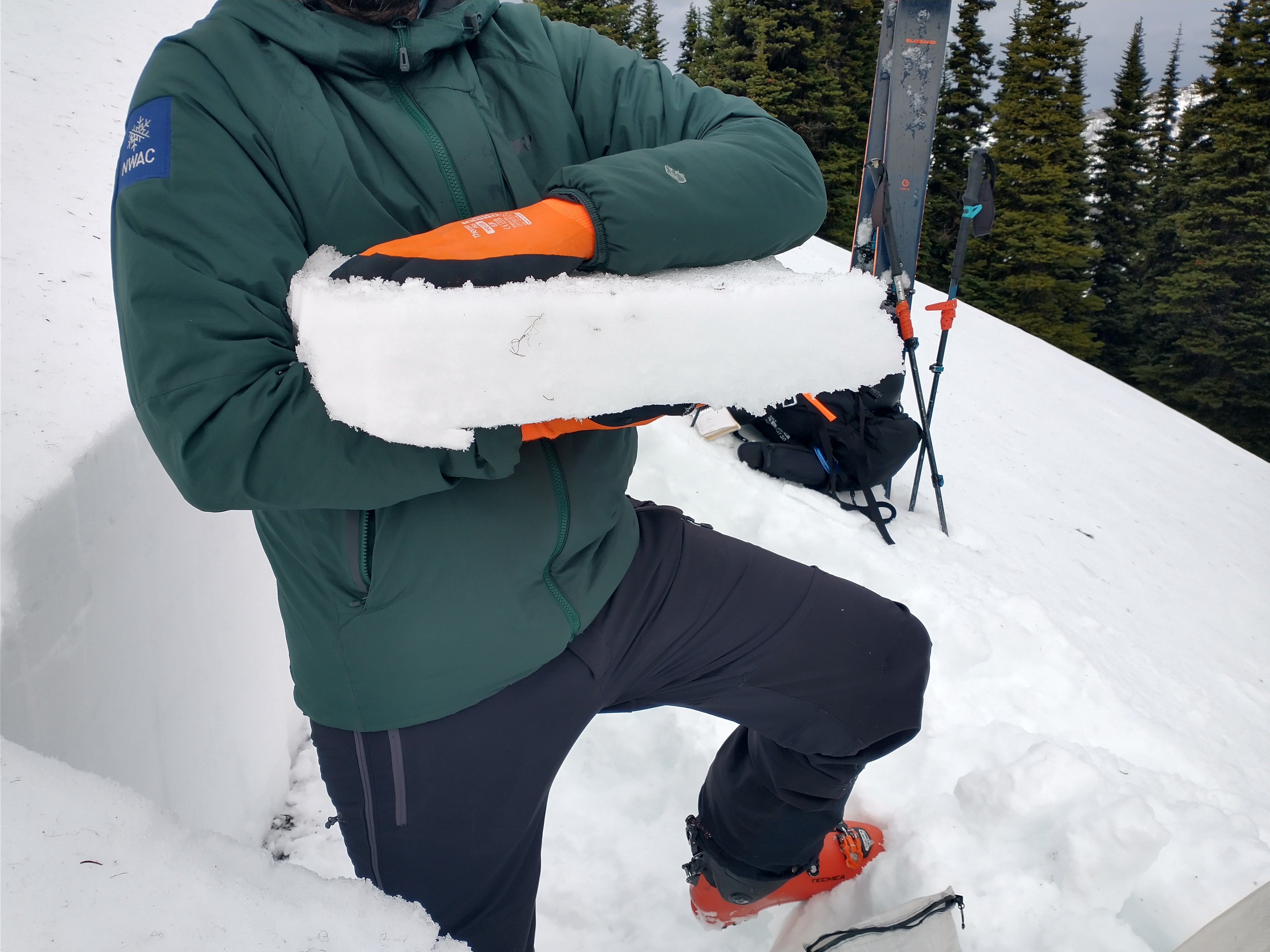
The upper roughly 10cm of the snowpack is a mix of melt-freeze crusts and melt forms from this week. I'm assuming that it will eventually become one solid brick as opposed to a sandwich complex. Let's hope.
Below that, moist snow extended down to a crust 34cm below the surface that is likely the 12/13 interface. This is the major wetting front/pooling layer and roughly matches the depth of most avalanche activity I spotted today.
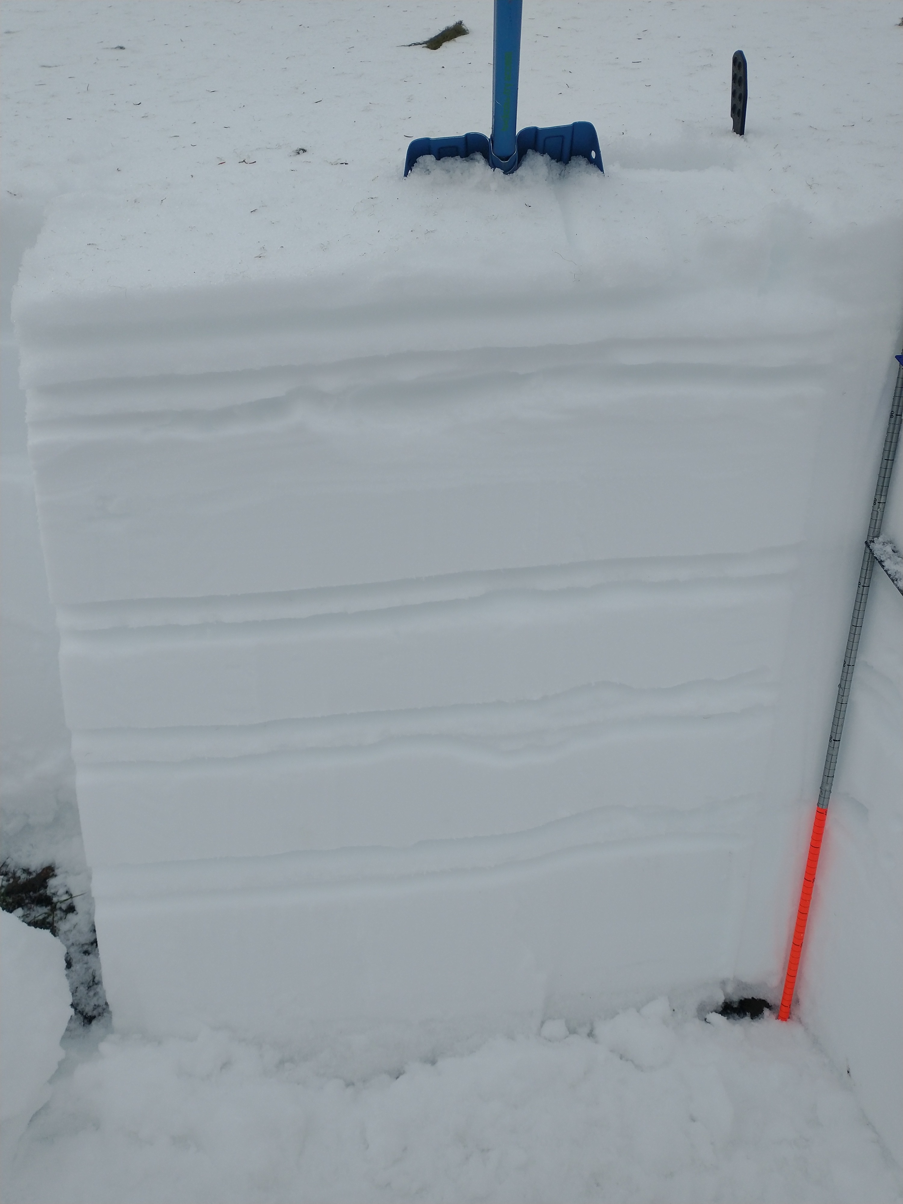
You can still pick out other melt-freeze crusts as you move lower in the snowpack.
Snowpack tests were mainly unremarkable, but below this week's AR crust, shovel shear tests, compression tests, and extended columns tests did fail, albeit not in a very concerning way. Boot pen was roughly 25cm in this location.
Avalanche
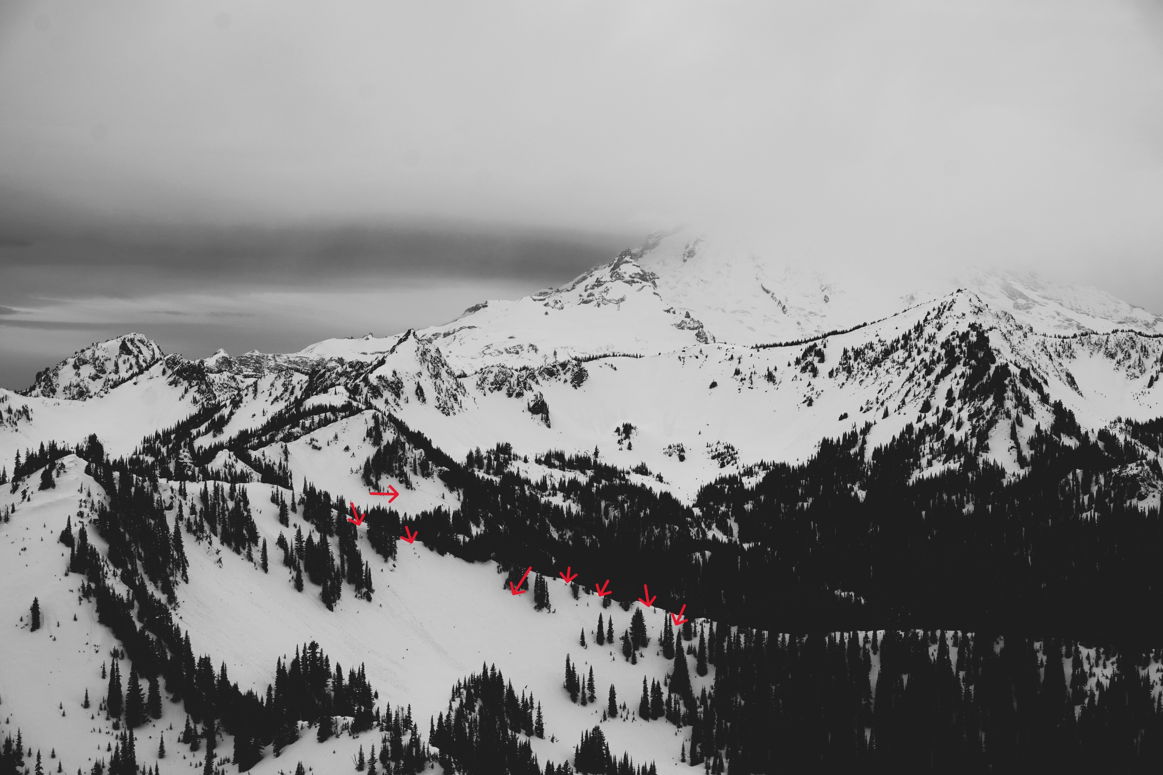
Lots of old avalanches were spotted from this week's atmospheric river event. Seems like every steep slope had debris on it from either a slab or a loose slide. The slabs were mostly shallow but propagated widely. I didn't spot any over size D2 in my estimation. Based on debris piles and crownlines, it appears we had several rounds of natural avalanches during the storm.