
Quick report
- Cracking
- specific
The goals of the day was to get a sense for how much recent snow had fallen and look for evidence of recent avalanche activity and see how much work the winds were doing.
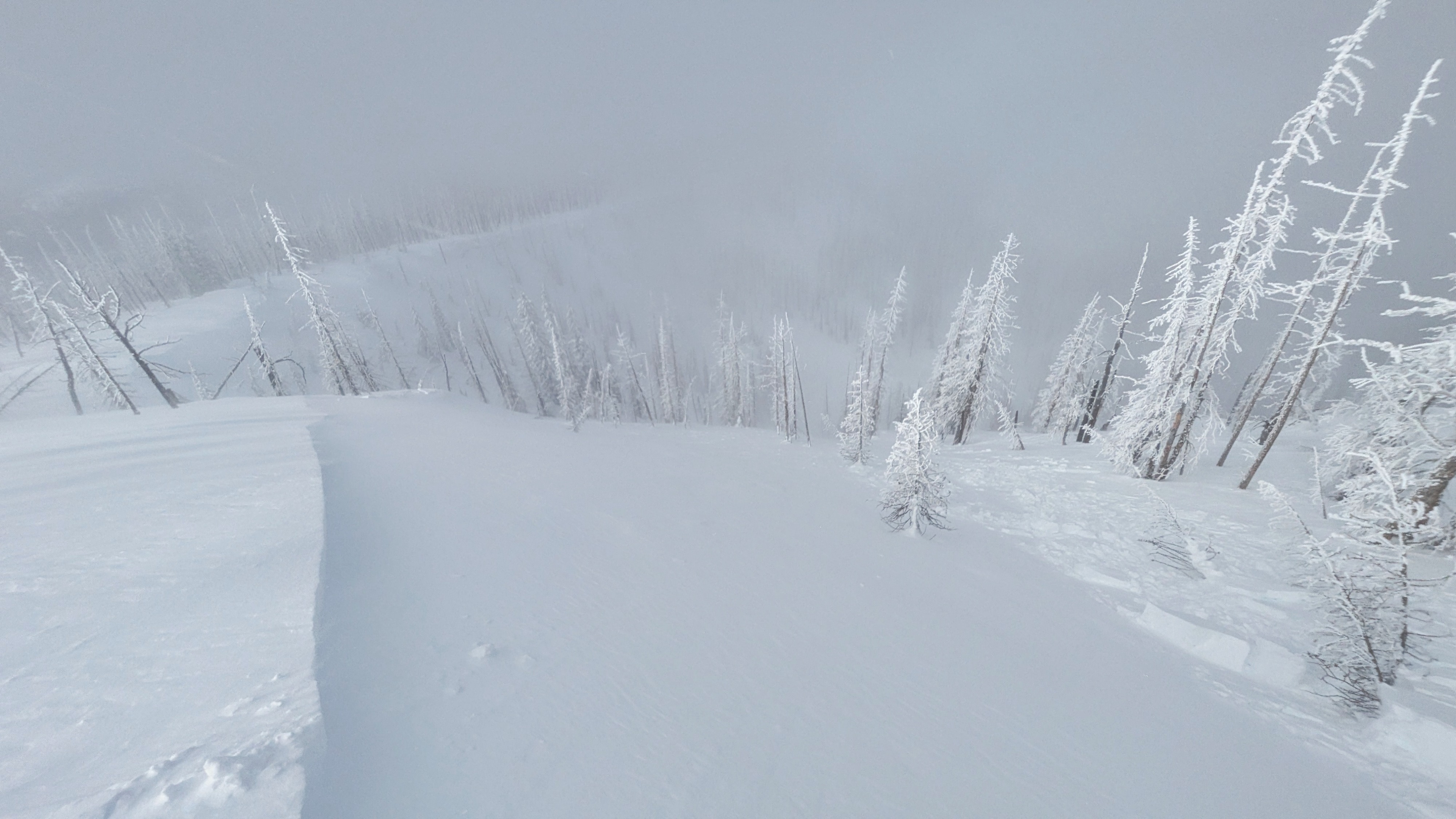
We found 16+" of new snow above Monday night's rainline (around 6,200'). The snow graded evenly from F- at the top to F at the base, with a few mid-storm interfaces present but nothing terribly alarming. Winds were blowing at moderate to strong speeds out of the west, transporting snow well down into middle elevation terrain. We did not see much wind slab formation in middle elevation terrain, but many surfaces were pressed and others eroded. Got into some wind dunes and scallops on open slopes in upper elevation terrain, and observed widespread slab formation along ridgelines. Slabs generally appeared to be confined to the upper 100 feet of the slope below ridges. We observed several wind slabs that failed naturally during the day, these were on the smaller side (D1.5). We also triggered a wide wind slab in similar terrain by stomping along a loaded ridgeline. This slab only broke 6-8" down, but it broke around 150 feet wide and ran quite quickly down the moderately treed slope. This would not have been a great avalanche to be caught in. We'd hoped to be able to glass around for natural activity from up high, but our plans were foiled by the amount of blowing snow in the air and the fast-moving clouds.
We encountered frequent cracking in freshly formed wind slabs. We did not experience any collapses while breaking trail with skis, and did not notice any collapses while sledding. We observed several D1.5 wind slab avalanches that released naturally in the afternoon and triggered a wind slab that broke 6-8 inches down and an estimated 150+ feet wide. This was triggered with some stomping along a low angle ridgeline.Weather
- Cloud Cover
- scattered
It was a windy, relatively cold day up high. Low clouds passed over the mountains throughout the day, providing periods of sun and clouds. There was a short-lived but intense convective squall in the late morning that brought a dusting of ice pellets and graupel in a few minutes. The start of the storm on Monday night brought rain as high as ~6,200'. Above this elevation we found 16-18" of fresh snow.