
Quick report
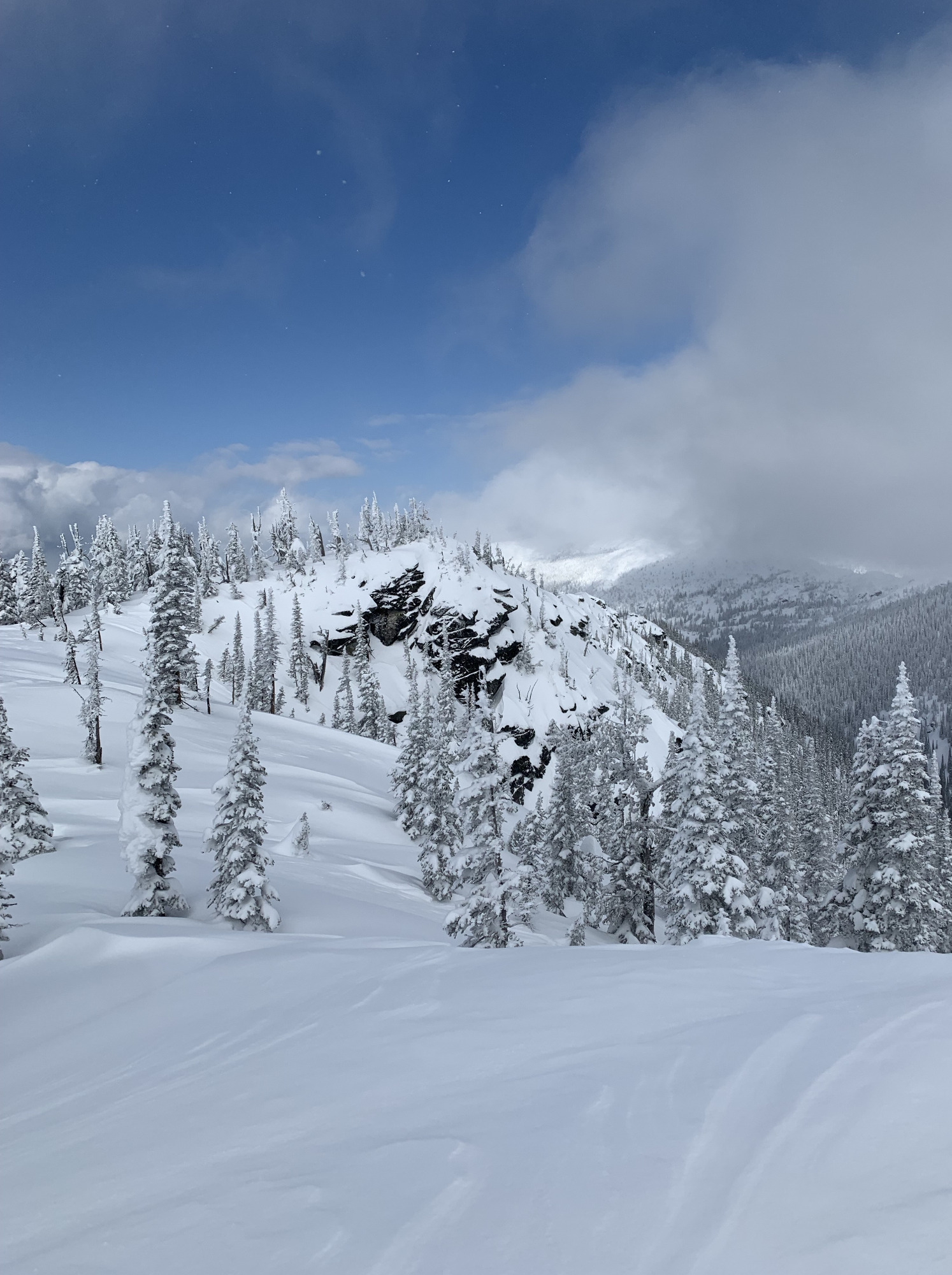
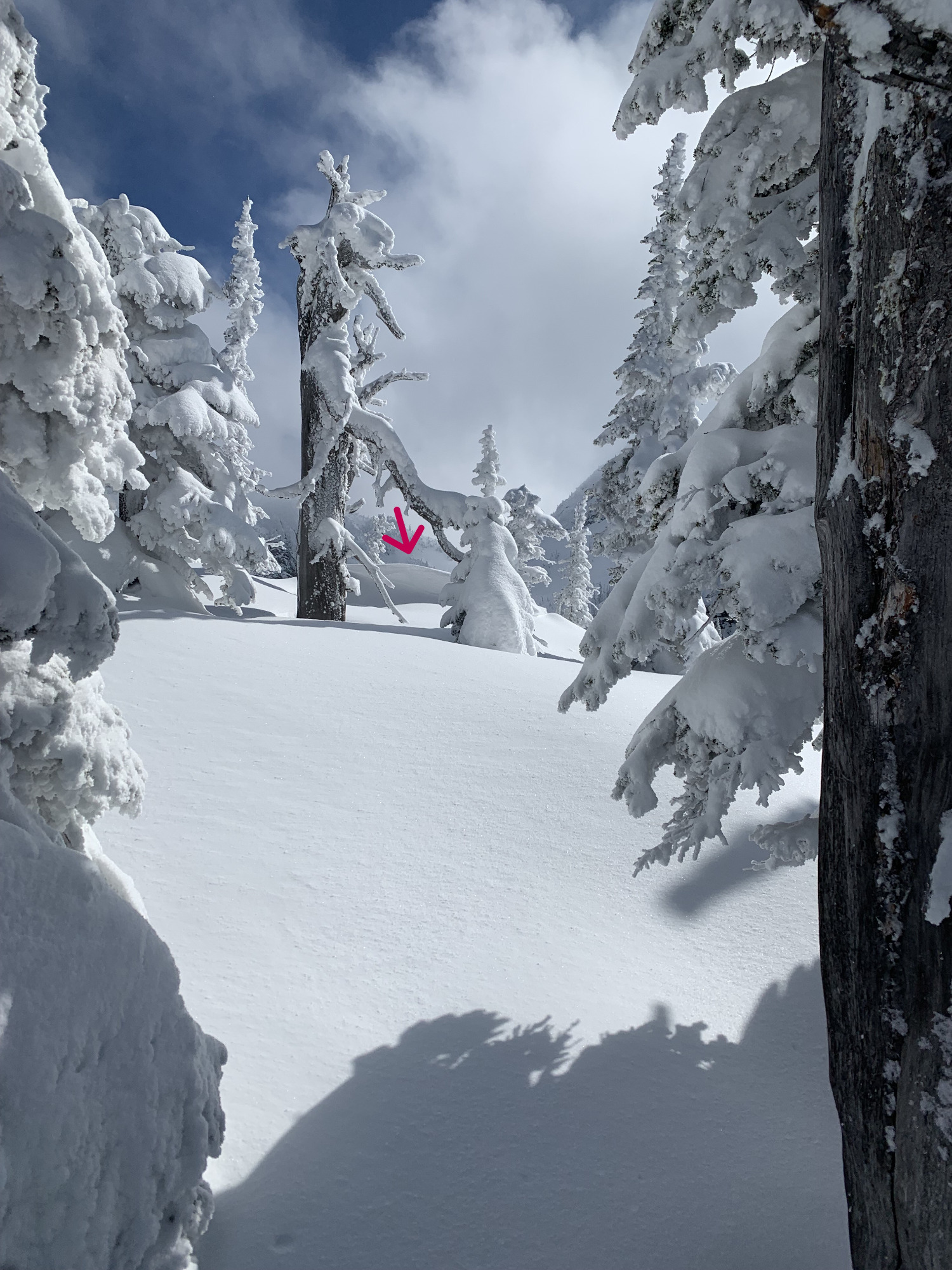
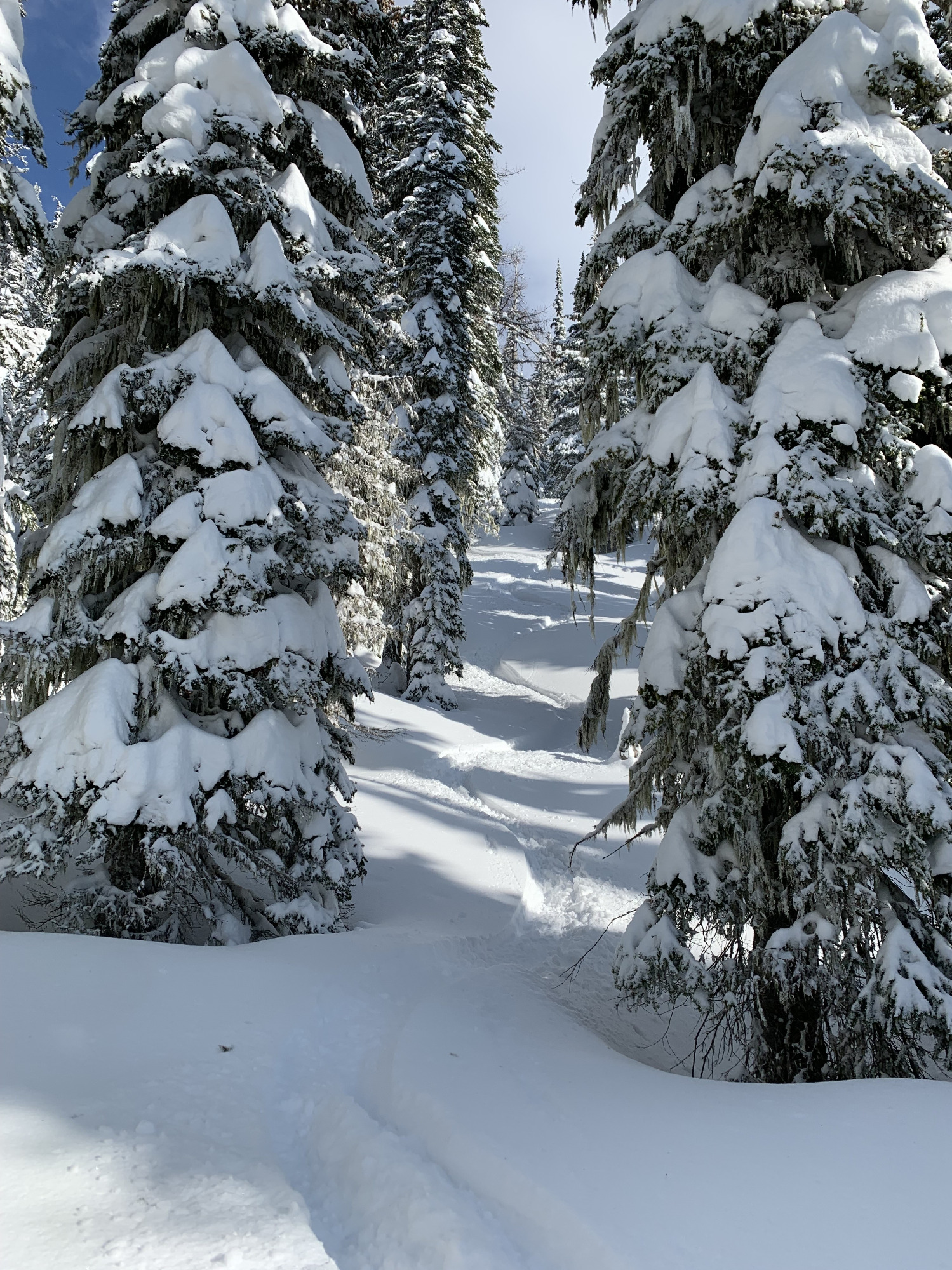
Even with the new 4" of snow, the pack felt more settled than Thursday. A couple hasty pits along the way up told me the snow was basically the same as Thursday - soft 10-14" before a light wind buff, then ~10" more unconsolidated snow to a firm layer with facets sitting on top. To the eye, it looks like a buried surface hoar, but a facet is a facet in that they don't bond well. I tried to get a few small convexities to pop along the way, but no action. I toured up a West facing slope and skied W NW and NW aspects on my runs. Lots of sloughing, no cracks, no whoompfing. Winds shifted late morning from SW to moderate Easterly wind. I had partly sunny skies with temperatures in the low 20's. I'll bring up again the fact that the normally, huge mid-winter cornices on East-facing slopes are non-existent pretty much. As I tried to show in my pictures, the ridges have actually started to form backward cornices from the E and NE winds. Lots of snow was be transported to W, SW, NW slopes. I stuck to skiing in the trees to avoid any large winds slabs and frankly, because the snow is deeper and softer in the trees. While we're all in the same avalanche district, I find it interesting the fairly dramatic differences between the forecaster reports in the Cabinets, Selkirks and the Silver Valley. The key take away is know the area in which you are in. Observe and listen as you tour to your destination. Enjoy!