
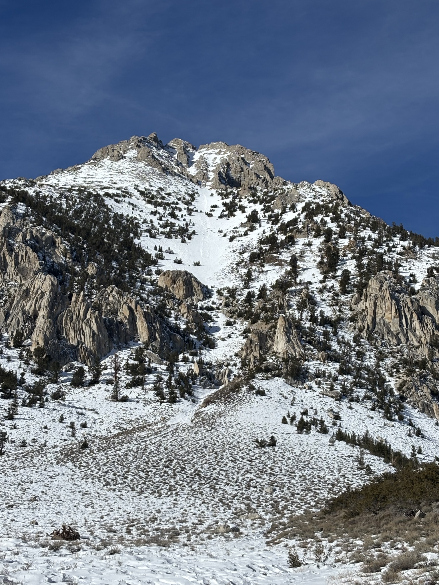
Quick report
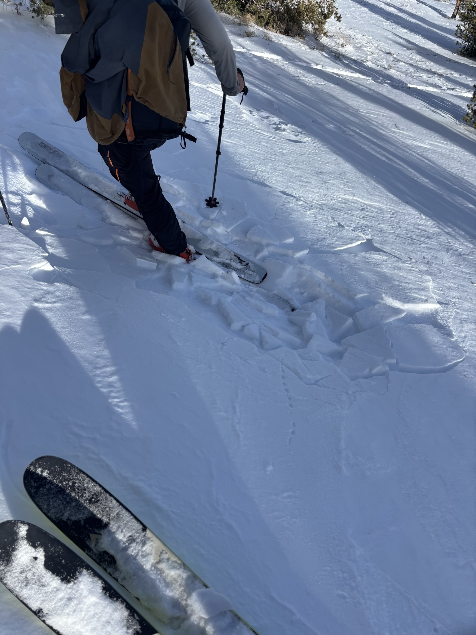
- Cracking
- isolated
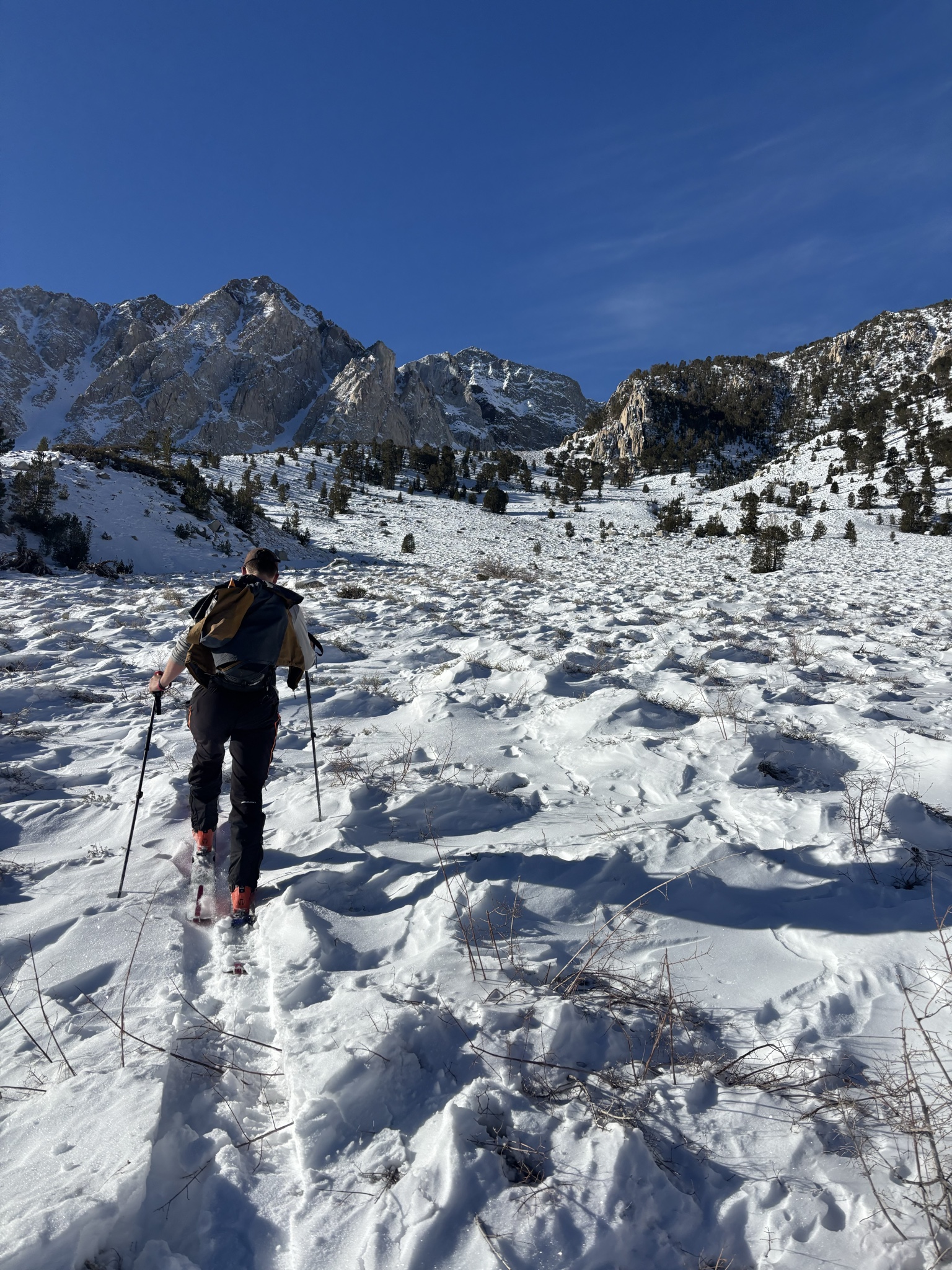
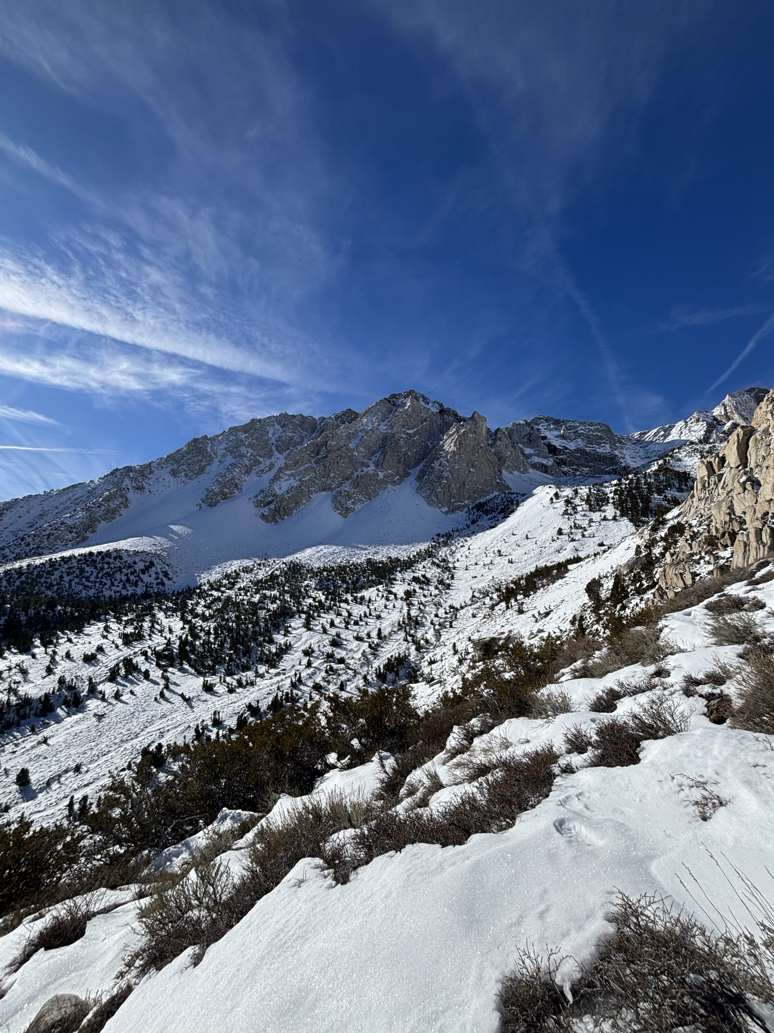
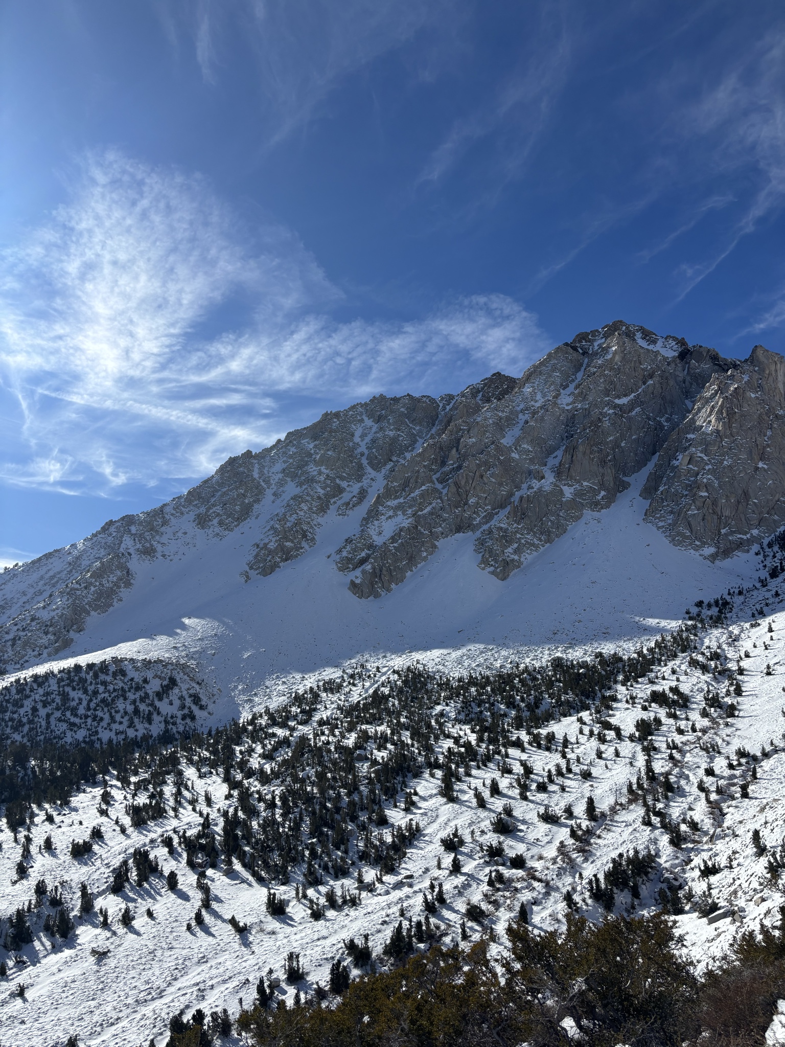
We travelled between 8900ft on the road to the Upper Buttermilk TH and a ridge at 10,000ft, mostly on generally low angle, NE facing slopes. Snow depth ranged from 0in to probably about 12in. Sagebrush and rocks poked through the snow surface everywhere. There was widespread wind effect on the snow surface, and a widespread crust 1-3in thick, at times breakable and at times not, overlying weak faceted snow. On the steepest part of the slope we ascended, up to dinner table sized slabs of crust would break under our weight and slide downhill. It felt hot under sunny, clear skies and calm winds. 38F at 0823 at 8900ft, and 38F again at 0957 at 10000ft on the ridge. We looked into the drainage you’d use to access the Wahoo Gullies, Kindergarten Chute and Checkered Demon. Coverage looked very thin and travel appeared difficult. The Wahoo gullies looked like great skiing from afar, but from this up close vantage point, the apron was a shallowly covered sharky boulder field. We turned around and carefully slid back down the way we came, before putting the skis on our backs close to where we stashed our shoes at 9500ft. There was evidence of what looked to be a small old loose slide on an E facing slope on Peaklet.