
Quick report
- Cracking
- isolated
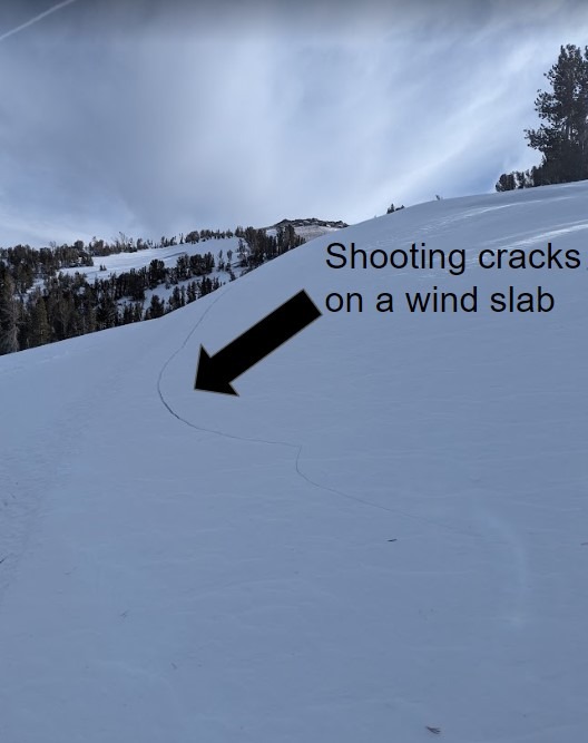
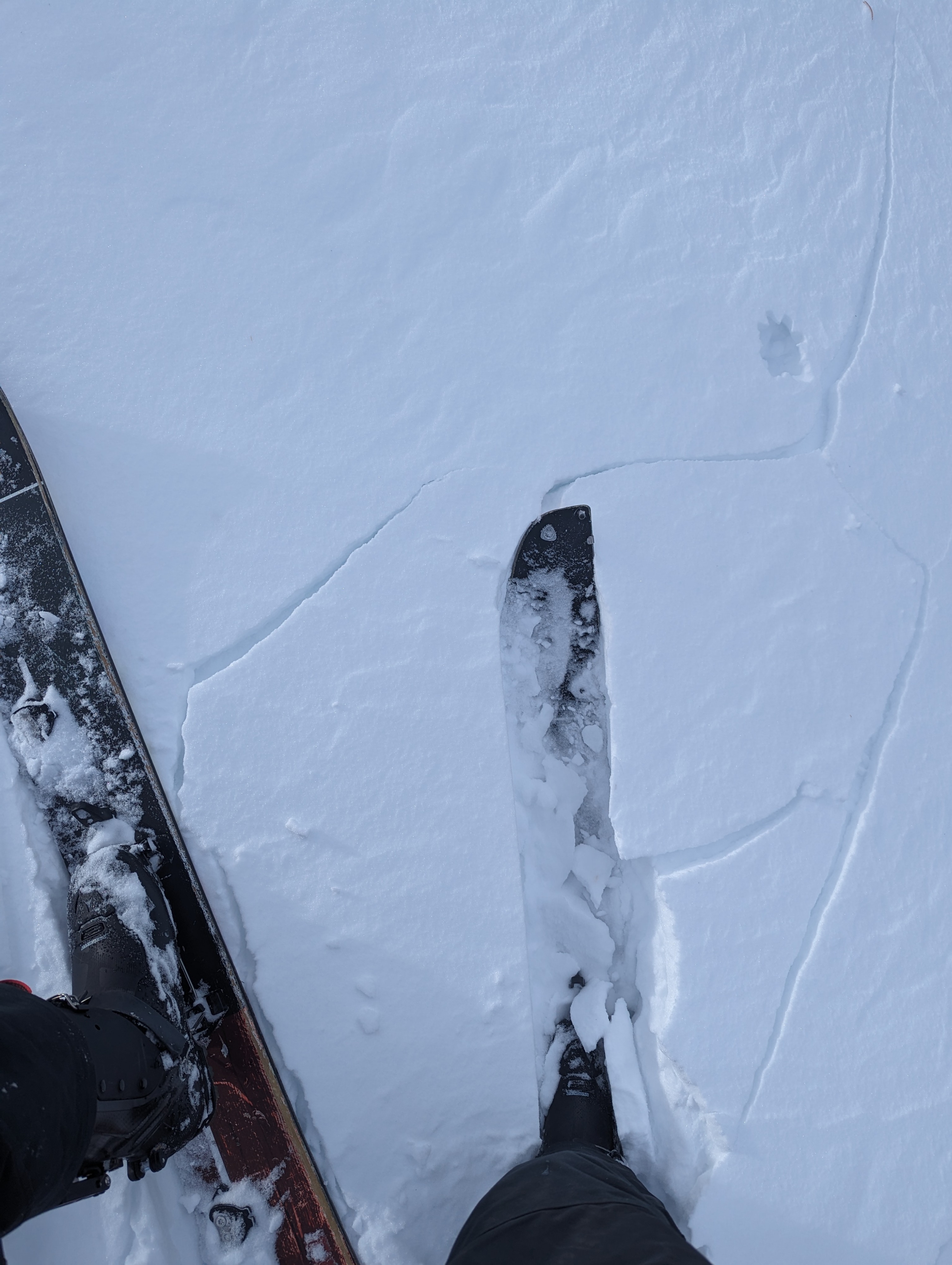
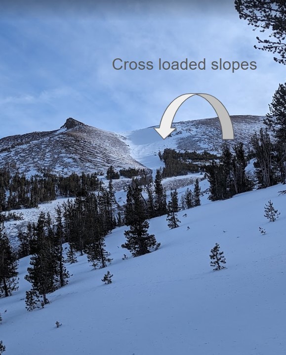
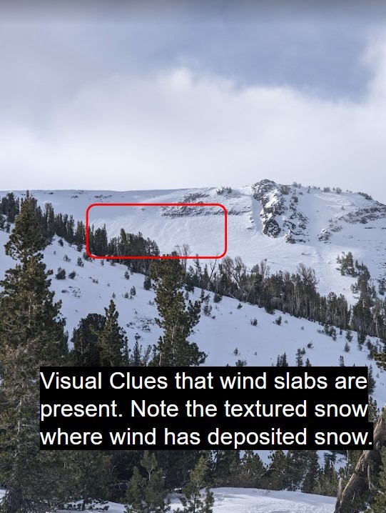
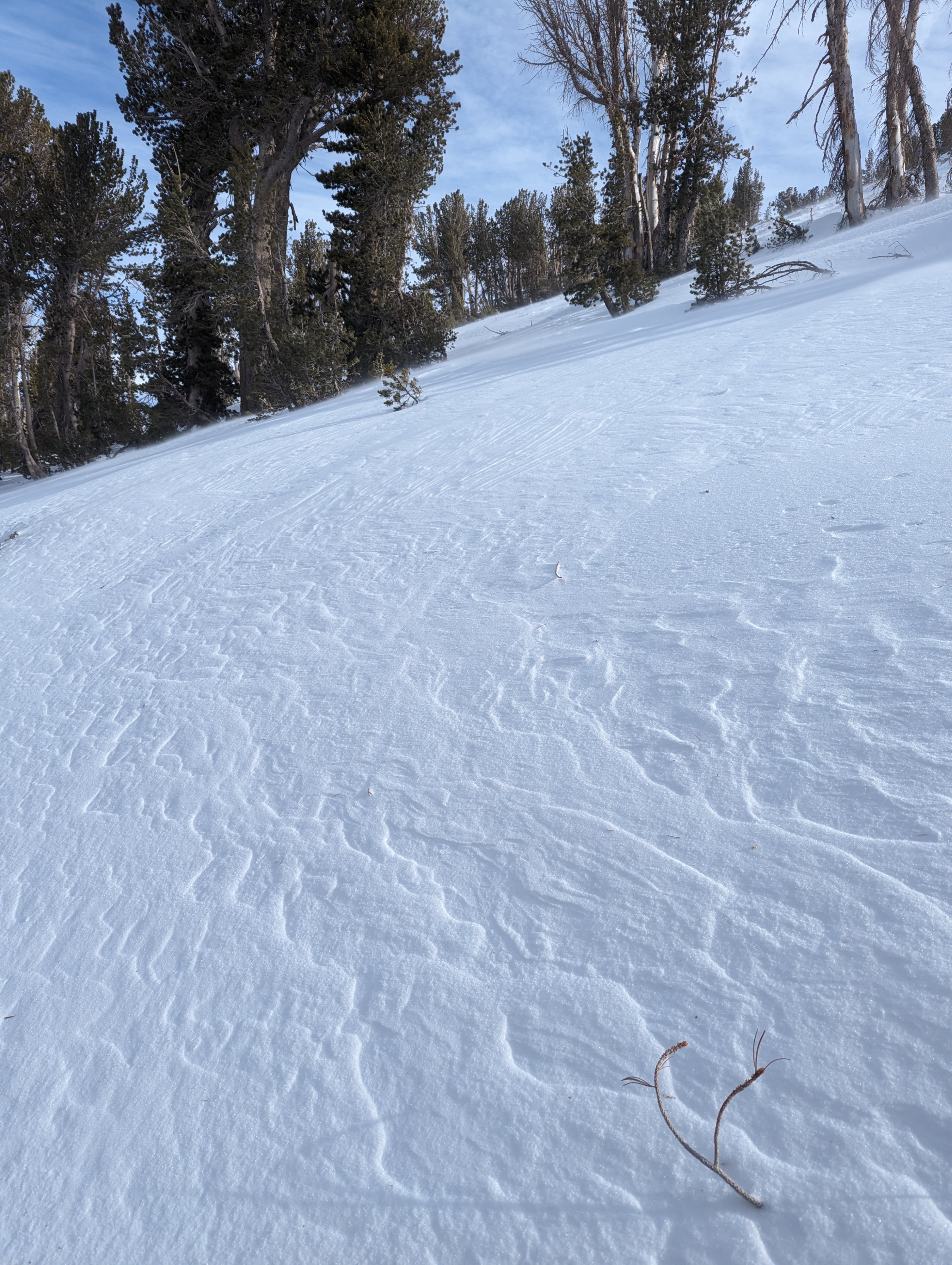
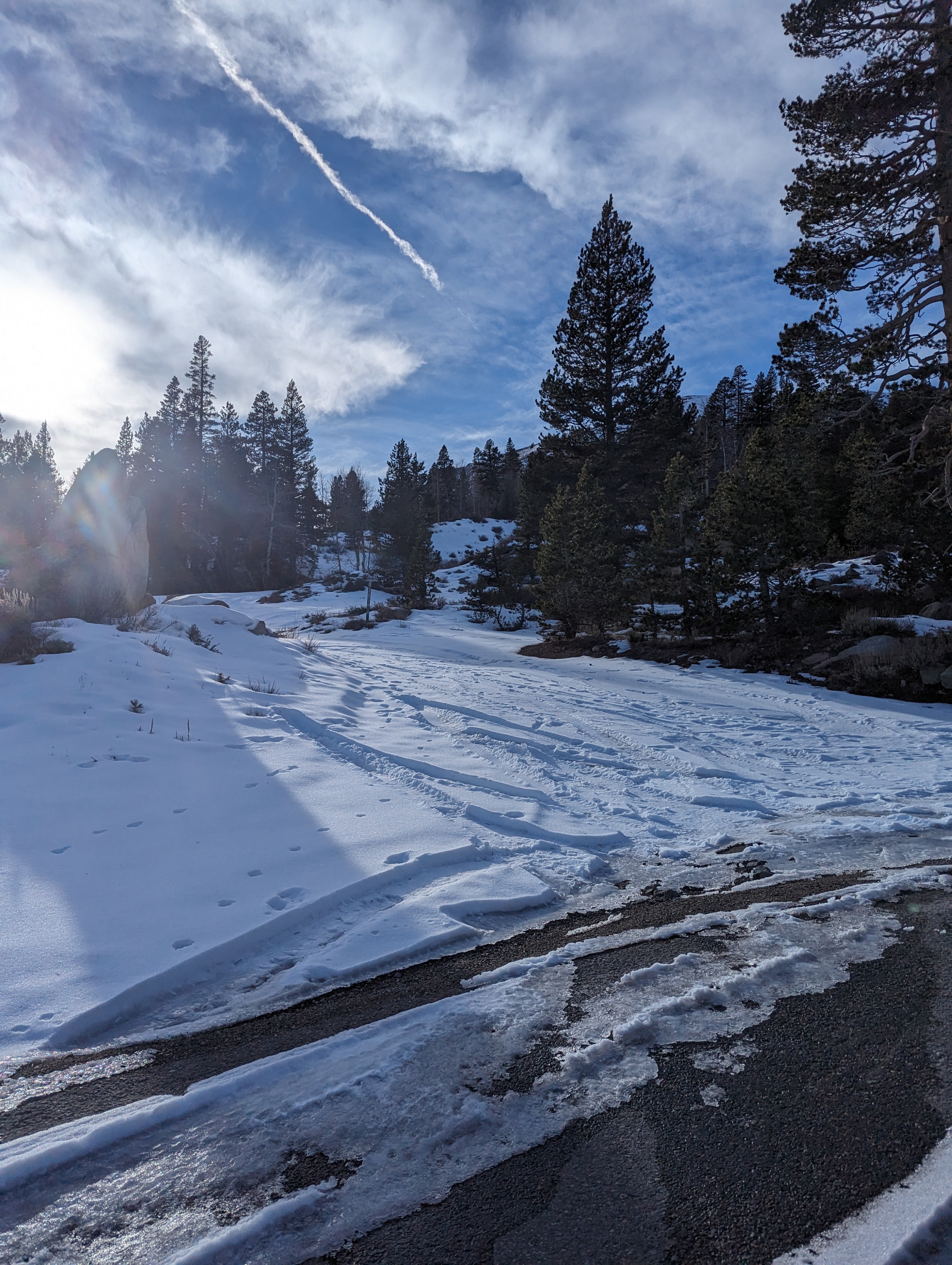
Today we toured up the southernmost ridge of the BWRA to see how the intense wind was impacting the existing snow. We could see plumes of blowing snow on ridgelines from the drive in on 395. Below the treeline, there was almost no snow avalible for transport, wind slabs were present near and above the tree line as the snow was actively being distributed by wind and deposited in sheltered terrain. We triggered a few shooting cracks on test slopes, indicating instability in the upper portion of the snowpack. We dug in the snow briefly to confirm that the persistent weak layer is present regardless of snow depth. Snowpack height ranges from less than a foot to nearly 3 feet due to wind-deposited snow, any snow that is deep enough to ride should be approached with caution due to the PWL and associated persistent slab avalanche problem. A foot of new snow is forecasted for the area this weekend, we will be keeping tabs on how the snowpack adjusts to the new snow,
Shooting cracks on test slopes that had wind slabs present.Weather
- Air Temp
- 47
- Cloud Cover
- broken
- Wind Loading
- moderate
- Snow Avail For Transport
- small smounts
Warm air temperatures were accompanied by extreme SW winds. As the day progressed both cloud cover and wind speed increased.
Snowpack
- Wind slabs were formed by blowing snow near and above tree lines today
- The persistent weak layer and the bottom of the snowpack is present in most of our forecast area, recent stability tests show signs of instability
- The depth of the PWL ranges from 12 inches to a few feet due to wind-transported snow, There is a high degree of spatial variability in the snowpack depth.