
Quick report
Snow! Today marked the beginning of a period of snowfall that looks to last through early next week. New snow without wind was falling as pretty benign--I saw no slabbing up or collapsing of weak layers below with this modest load.
Expect the hazard to slowly increase with continued snowfall. Last weekend's natural avalanche cycle had some wet loose on solars and trended towards stubborn, persistent slabs on polar aspects. It indicated that north-facing upper-elevation terrain has some terrible structure. If 2-4" of snow last week at less than .4" of SWE could kick off a small cycle, expect to see more sensitive and larger avalanches as the we head into the weekend, especially if we get any rapid snow loading or rain. Pay attention as this pattern continues. We may not get immediate feedback on how incremental new snow is overloading weak layers below.
No signs of instability observed--no collapsing, cracking or whumphing on this tour.Weather
- Air Temp
- 27
- Cloud Cover
- obscured
- Wind Loading
- none
- Rain Elevation
- 515
- Snow Avail For Transport
- small smounts
Moist, trace snowfall began at 515' in Wasilla-Fishhook at 1325 this afternoon. As I gained in elevation, so too did the dryness of the snow. By the time I was passing the Gold Mint lot, I was noticing snow sticking to branches of trees. At IM, snow was sticking to existing snow surfaces. Winds were calm to light out of the south. No wind-blown snow observed today. Skies were obscured most of the day. I only had about 1,000' of vis upslope from the uptrack and higher peaks and ridges were obscured above 4,300'. No noticeable new warming on snow surfaces (even on due south) at mid and upper elevations). It was consistently snowing at a rate of at or under 1cm per hour on my tour. By 1900 at the HPAC board meeting at NOLS AK, it was still precipitating as snow. Independence Mine SNOTEL was reading 2" at around .1" of SWE at this time at 3,450'.
Snowpack
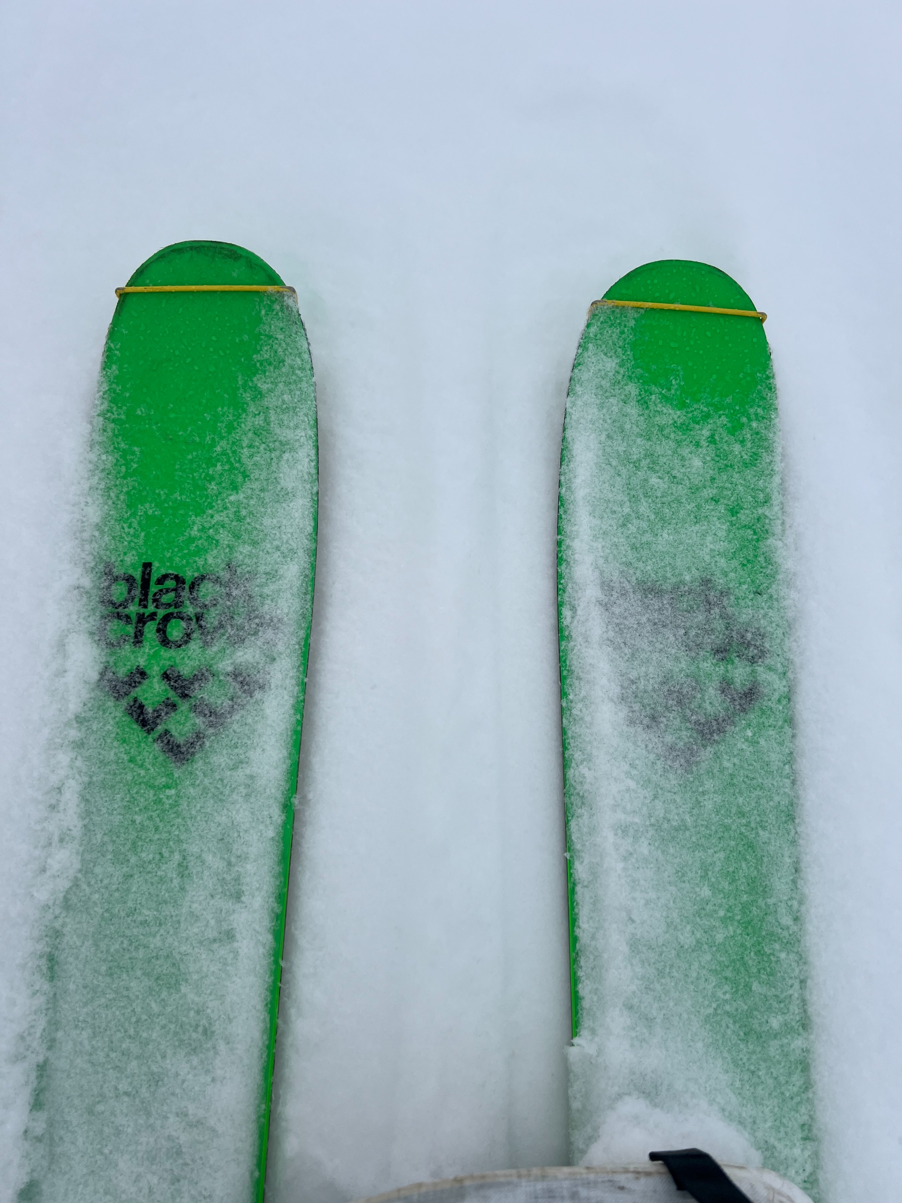
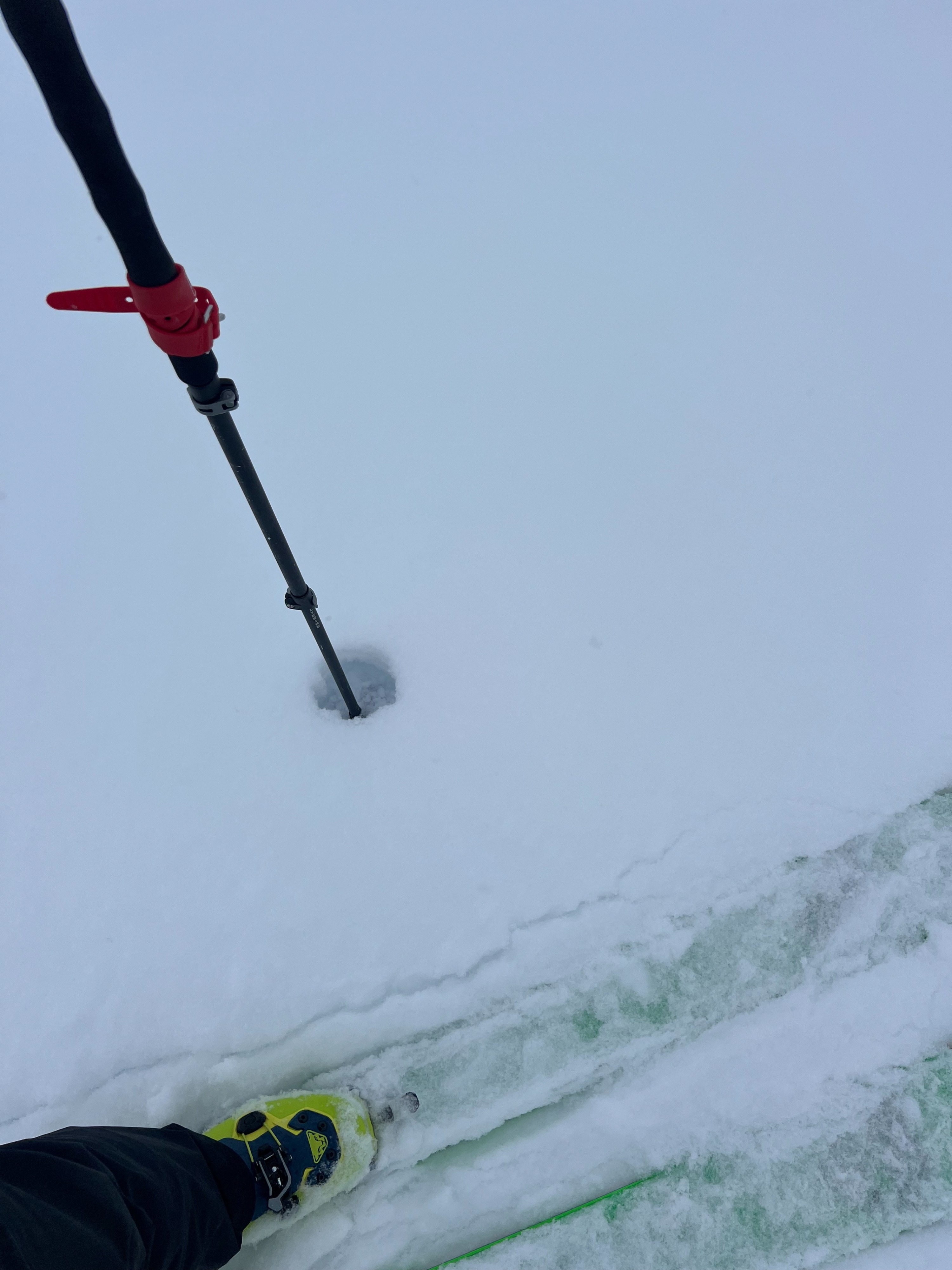
Snow was falling at all elevations. It did not appear to be accumulating on existing snow surfaces until I got up to about 3,000' on the way to the IM lot. As I gained elevation on my tour, I observed 2" of light, new storm snow. I did not measure the SWE of it, but I was able to blow it off a crystal card or my glove where it would briefly suspend in the air before falling back down.
As covered in the video, this new snow was on a variety of surfaces. At meadow level in untouched areas, I was finding new snow over loose facets. As I began climbing more solar slopes, I found moist feeling, gummy, supportive crusts which turned knife-hard and slippery as I ascended and gained in pitch.
Snow grains were angular and faceted 10-15cm below new snow and knife-hard melt-freeze crusts on this upper-elevation ESE aspect. My pitsite at 3,950' with a height of snow of 155cm yielded no results (ECTX) on these layers. Shovel shear indicated that there is a potential bed surface and a weak layer on similar aspects where a consolidated 1F midpack has small facets and larger, fist hard facets right below melt freeze crusts. The midpack in this location was stout and rightside up.
I was beginning to be able to entrain shallow, loose snow on slick melt-freeze crusts as I descended.