
Quick report
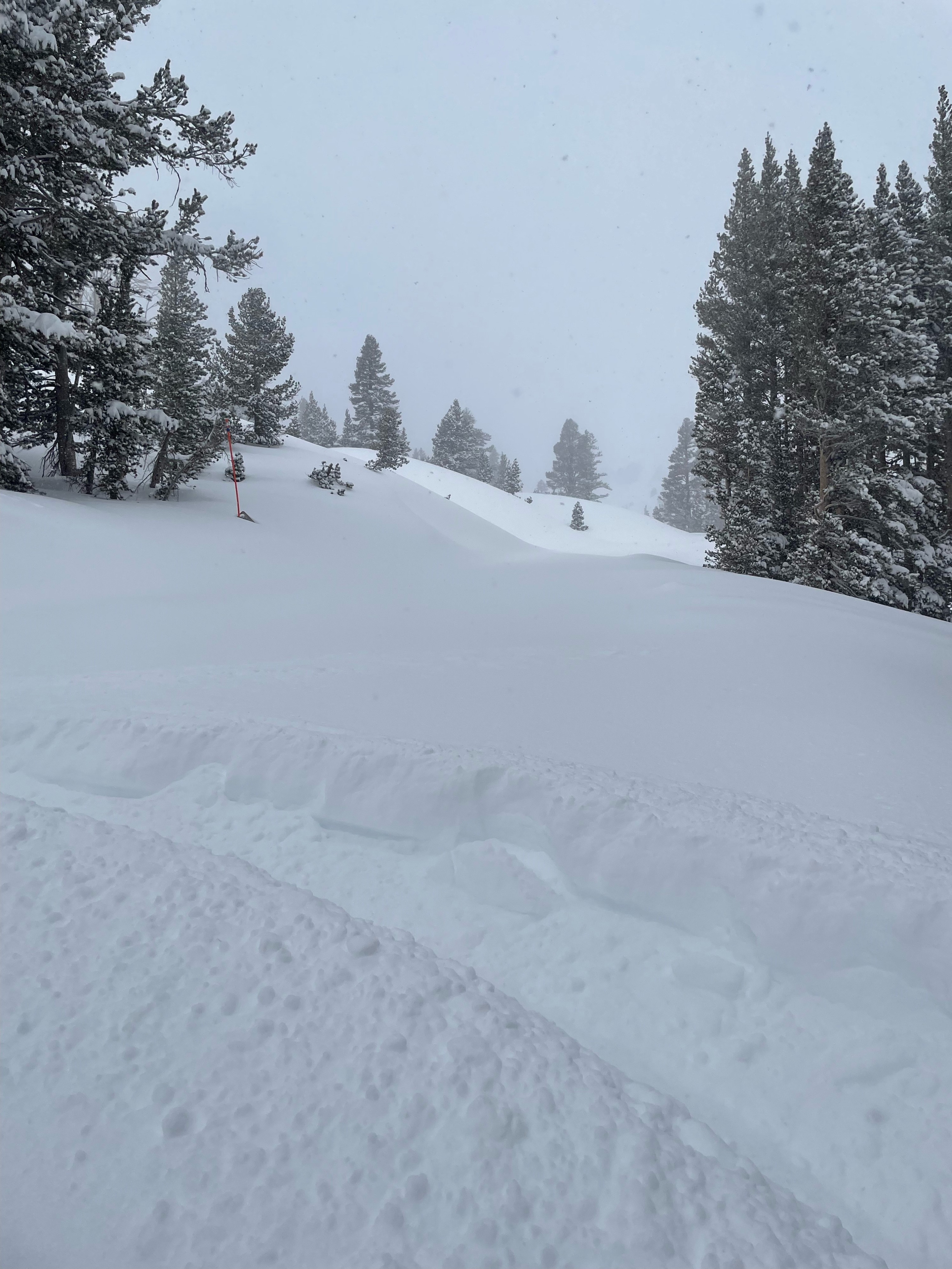
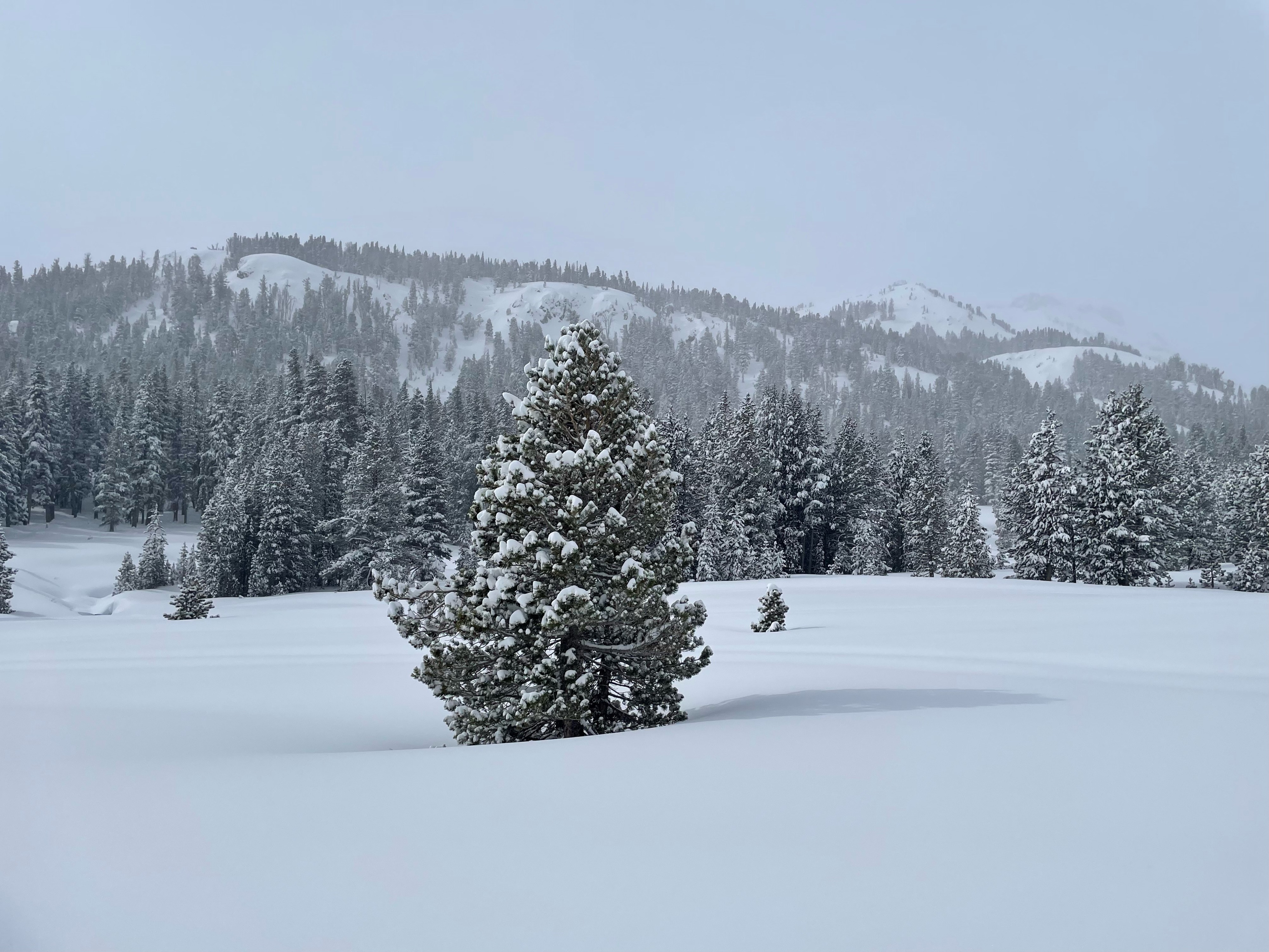
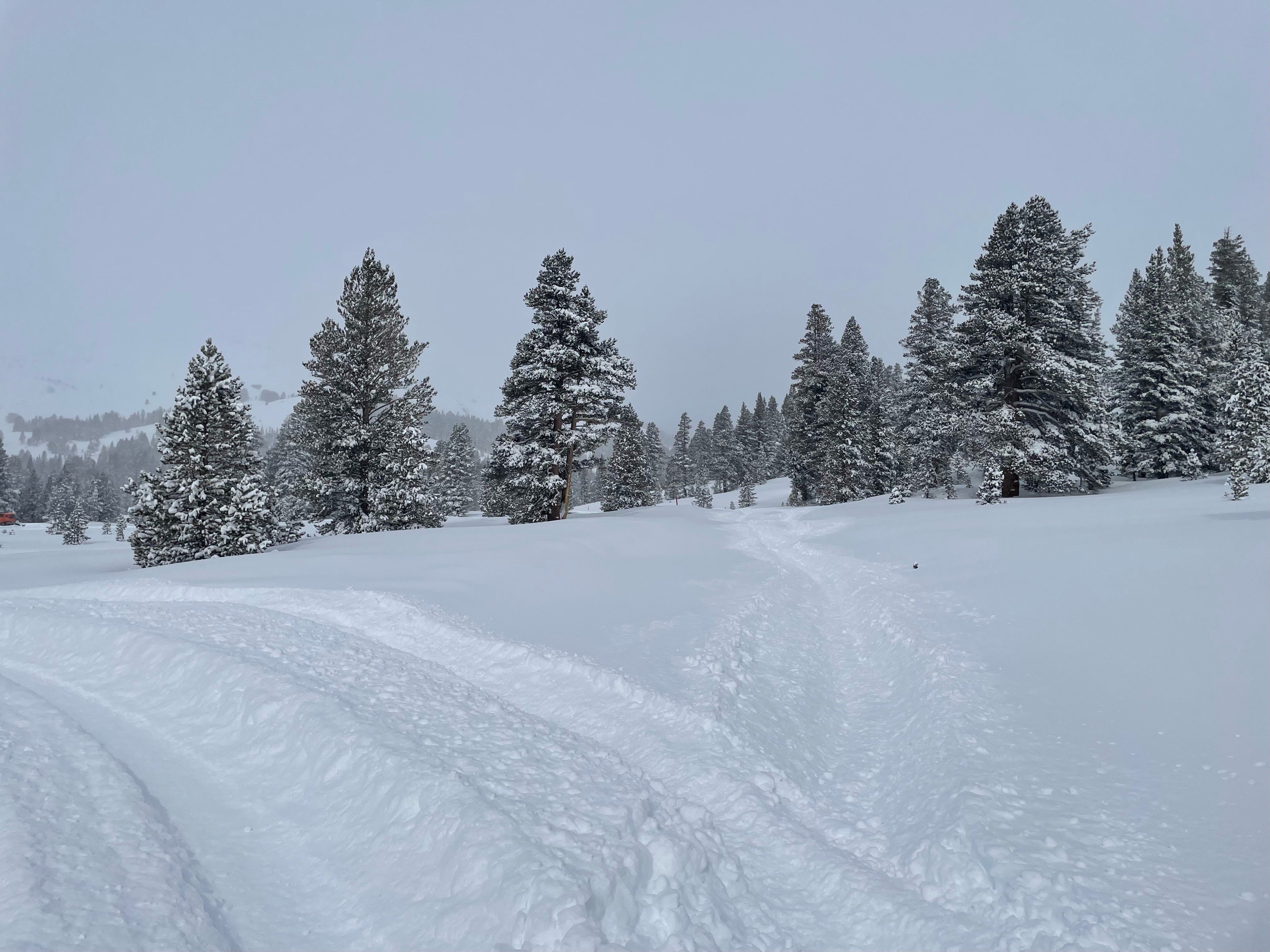
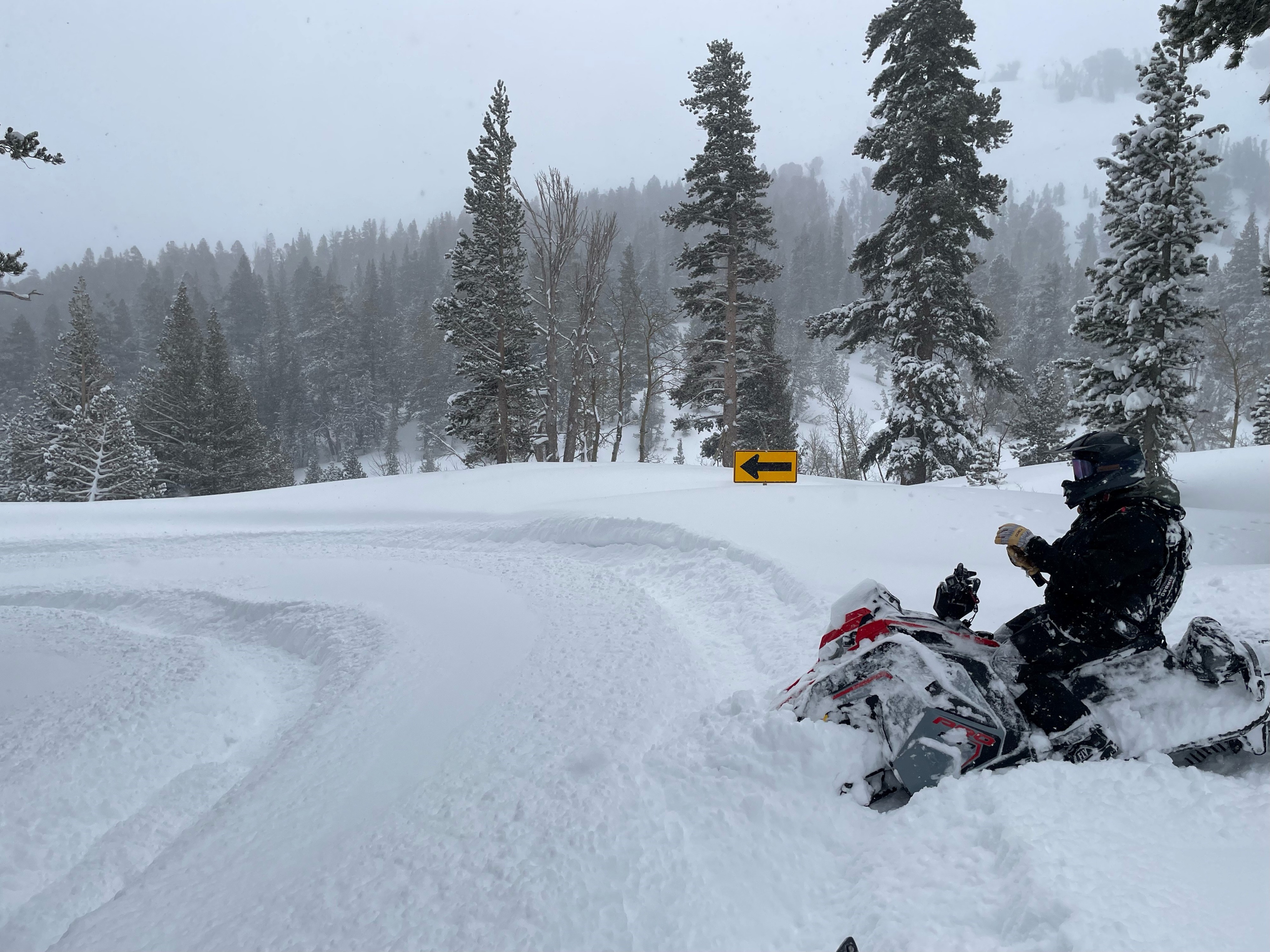
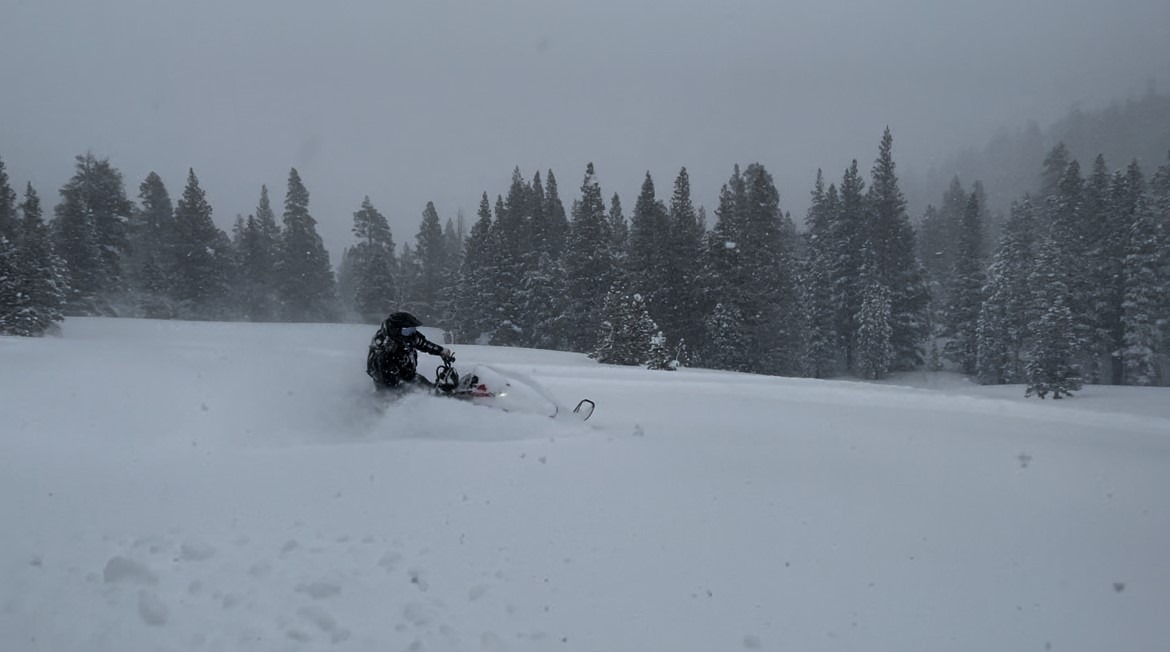
Took brief ride up 108 to check out last night's storm. We found close to a foot of new snow at lower elevations up to around 7800' and 2 feet in the 7800 to 9000' elevation range. Above 9,000' there was 2-3' of new snow. Snow was fairly low density throughout our travels in low angle, protected terrain. Lack of visibility prevented us from viewing higher peaks and upper elevation slopes. Near tree line we experienced light snow showers increasing to moderate rates at times with mostly light winds. Occasionally higher wind gusts would reduce visibility to whiteout conditions in open areas and produce moderate wind loading. Due to low visibility and recent heavy snow, we stayed out of avalanche terrain.
Weather
- Air Temp
- below freezing
- Cloud Cover
- overcast
- Wind Loading
- light
- Recent Snowfall
- 30 to 90 cm
- Snow Avail For Transport
- large amounts
Overcast skies with light to moderate snow showers during mid-morning hours. Mostly light winds with moderate gusts near tree line.