
Quick report
After a windy and cold week, the snow is back. With the established wind slab on top of potential NSF (near surface faceting) and new snow loaded on top of the ongoing, this weekend is set for a good reset on the pow, but it will likely be touchy avalanche conditions up high.
Weather
- Air Temp
- 15
- Cloud Cover
- overcast
- Wind Loading
- previous
- Recent Snowfall
- 8-12
- Snow Avail For Transport
- moderate amounts
Snow started this morning and has only increased as the day went on, and should continue through the night.
Snowpack
The near-surface faceting under the wind slab is not a good formula going forward, and especially in thinner spots, this can easily 'step down' to the persistent weak layer.
Avalanche
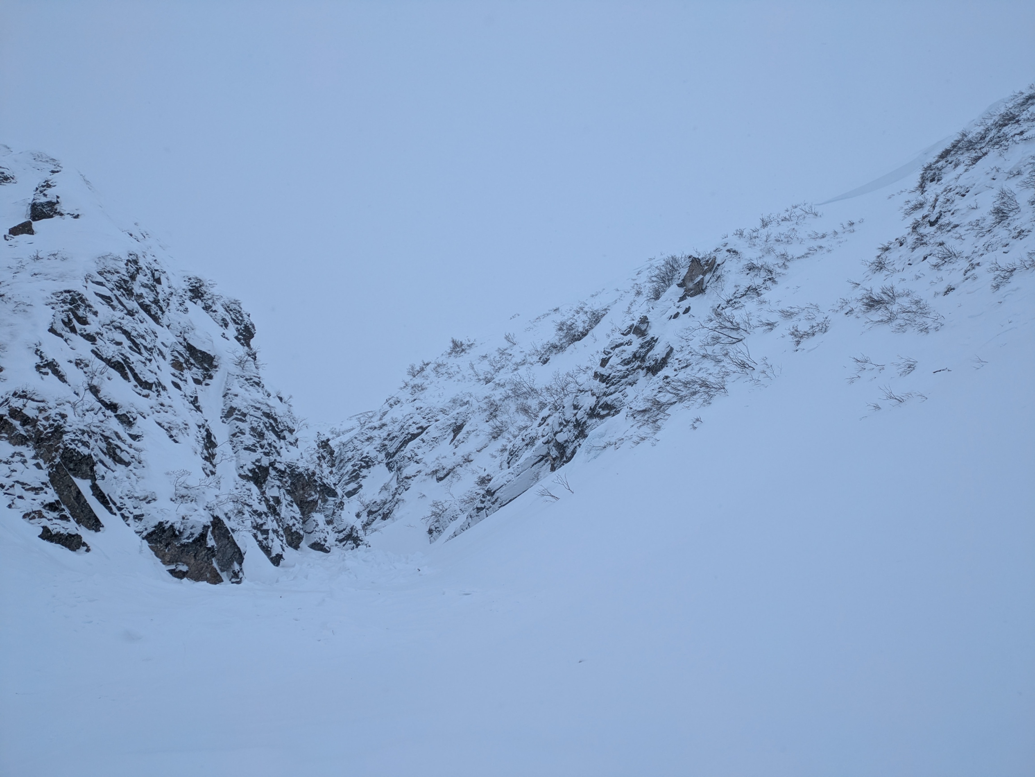
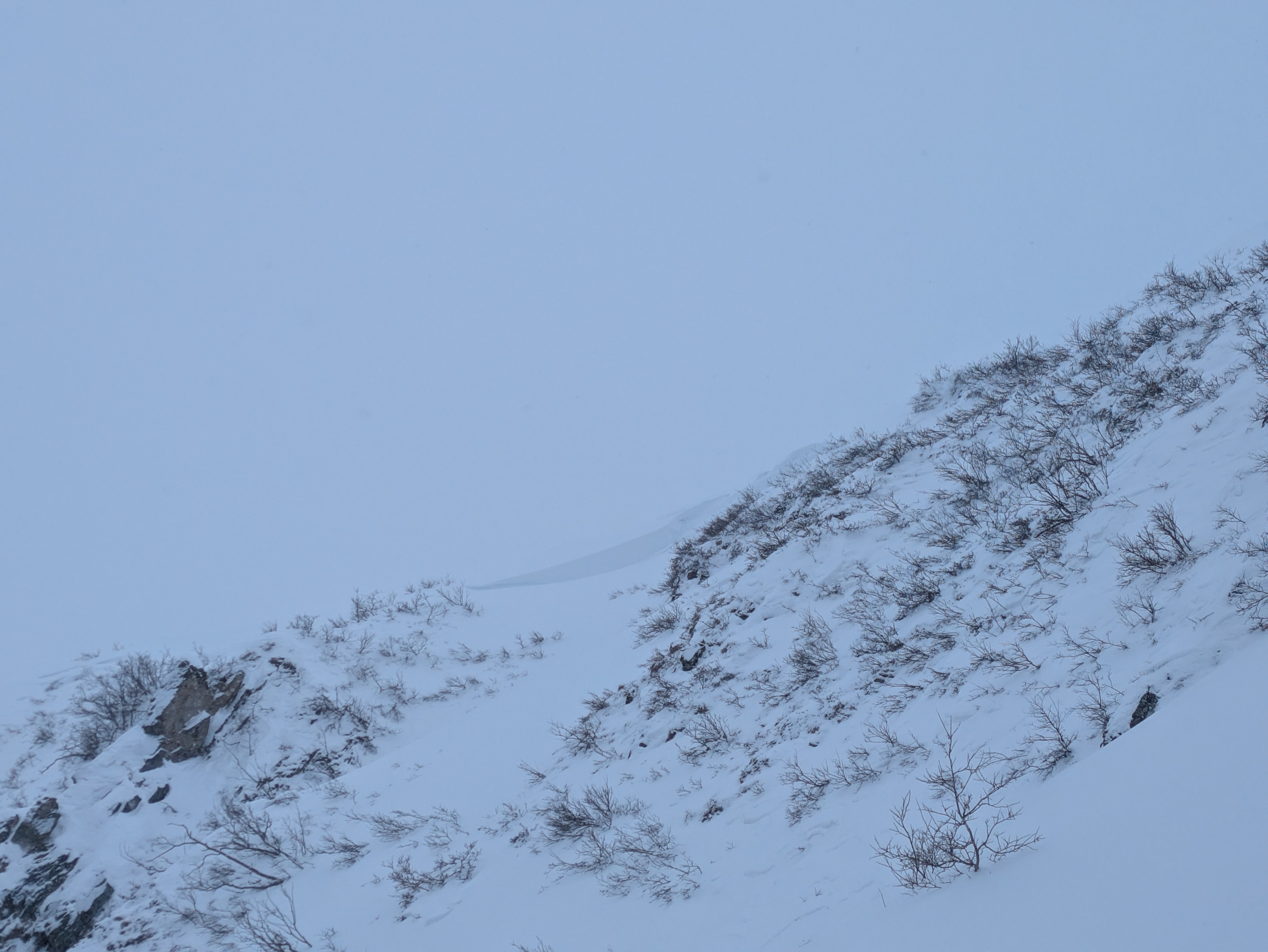
With the storm, we were unable to see much of the higher slopes. There was one slide that broke in the creek, probably about a week old, from the wind event.