

Quick report
Today we had some instability results from our extended column test on a southern slope as well from our propagation test. Although stubborn reactions, we still cannot eliminate our persistent week layer problem that’s been ongoing throughout the winter season. With high levels of wind this week and possibly new snow tonight, things may become more reactive in the next couple days. Next week we will have a large warming spell that can change our attention from a persistent week layers on all aspects to wet slab avalanches on southeast through Southwest aspects. As our spring conditions start to take hold, be mindful that these stubborn reactions may not give us any warning signs prior to an avalanche that can happen above 30° with our persistent week layers. If you are moving into avalanche terrain and slopes greater than 30°, make sure that there is no more than one person on a slope at a time with everyone else outside of the runout zone. Also be very mindful of terrain above you that may be over 30°.
Weather
- Cloud Cover
- broken
- Wind Loading
- moderate
- Snow Avail For Transport
- small smounts
Snowpack
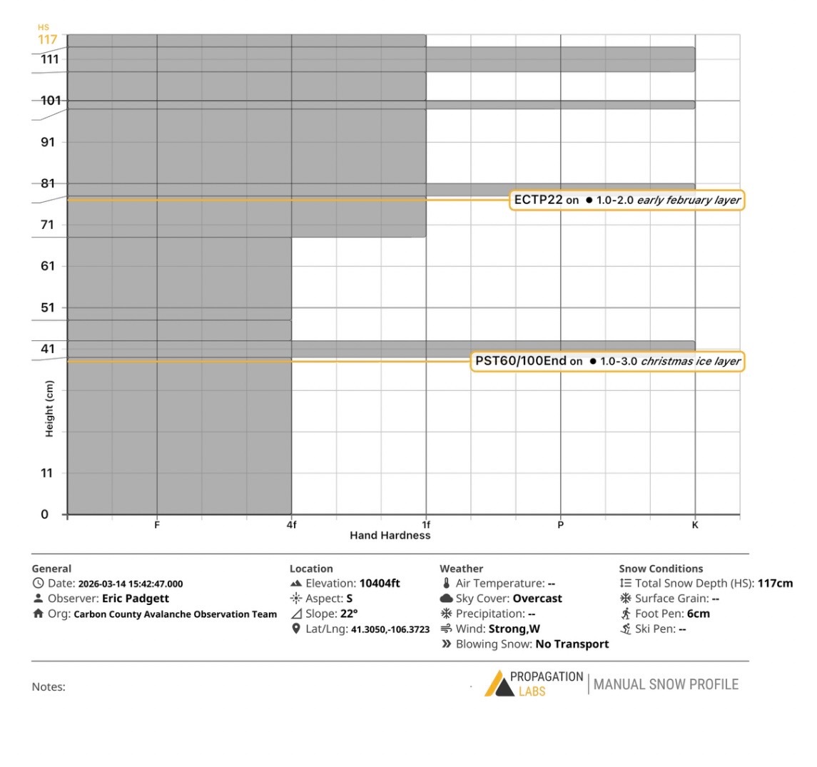
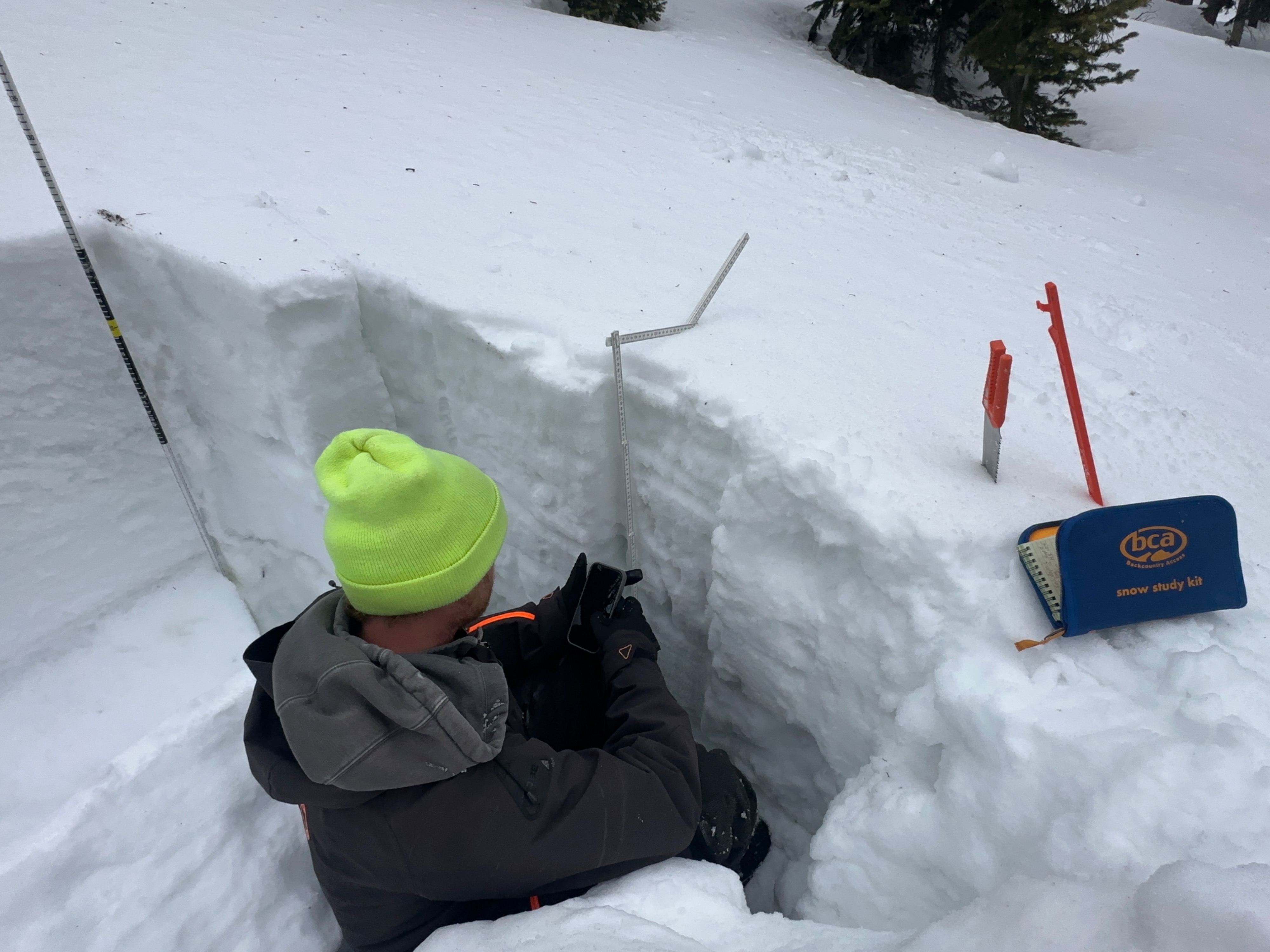
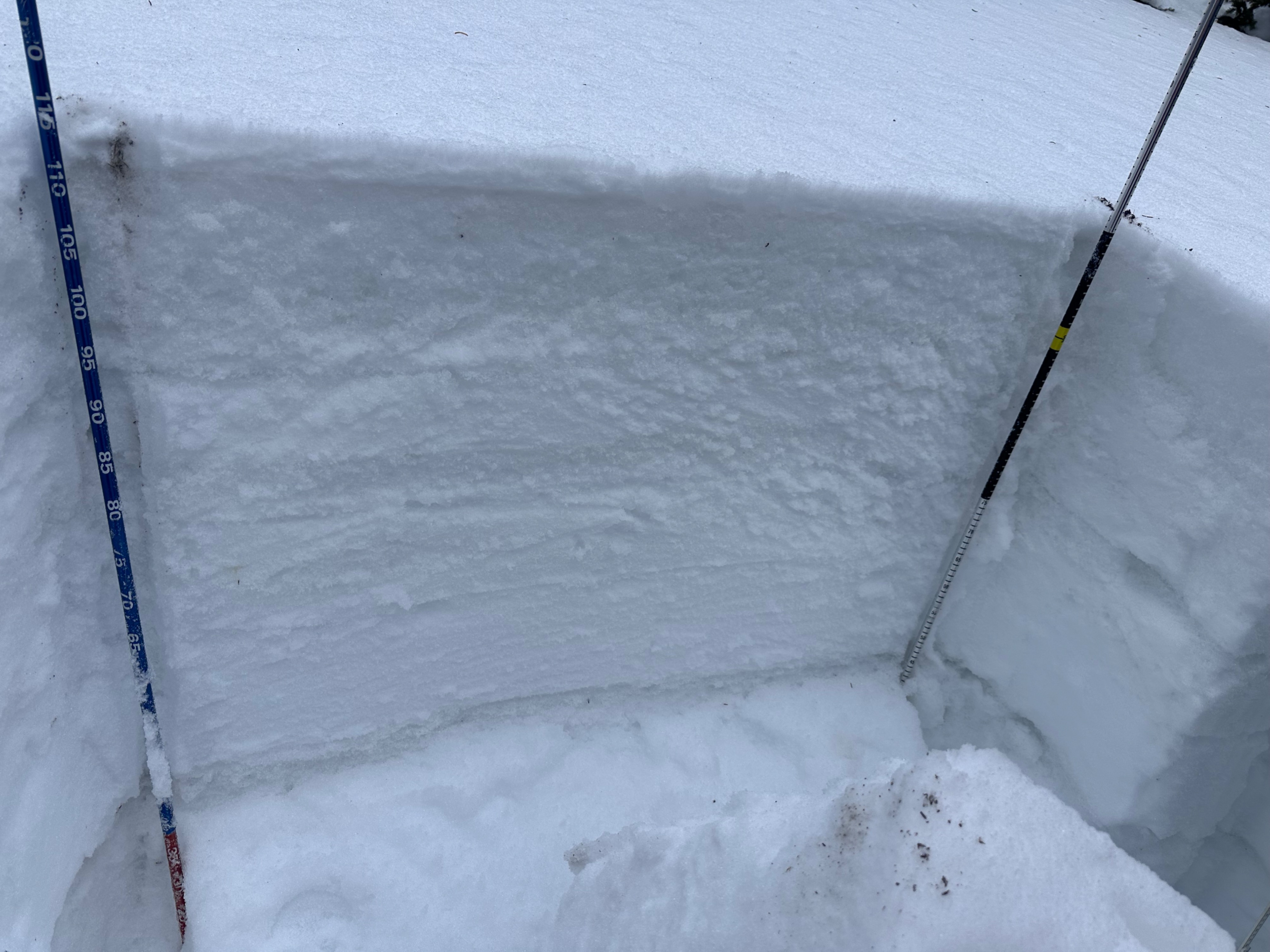
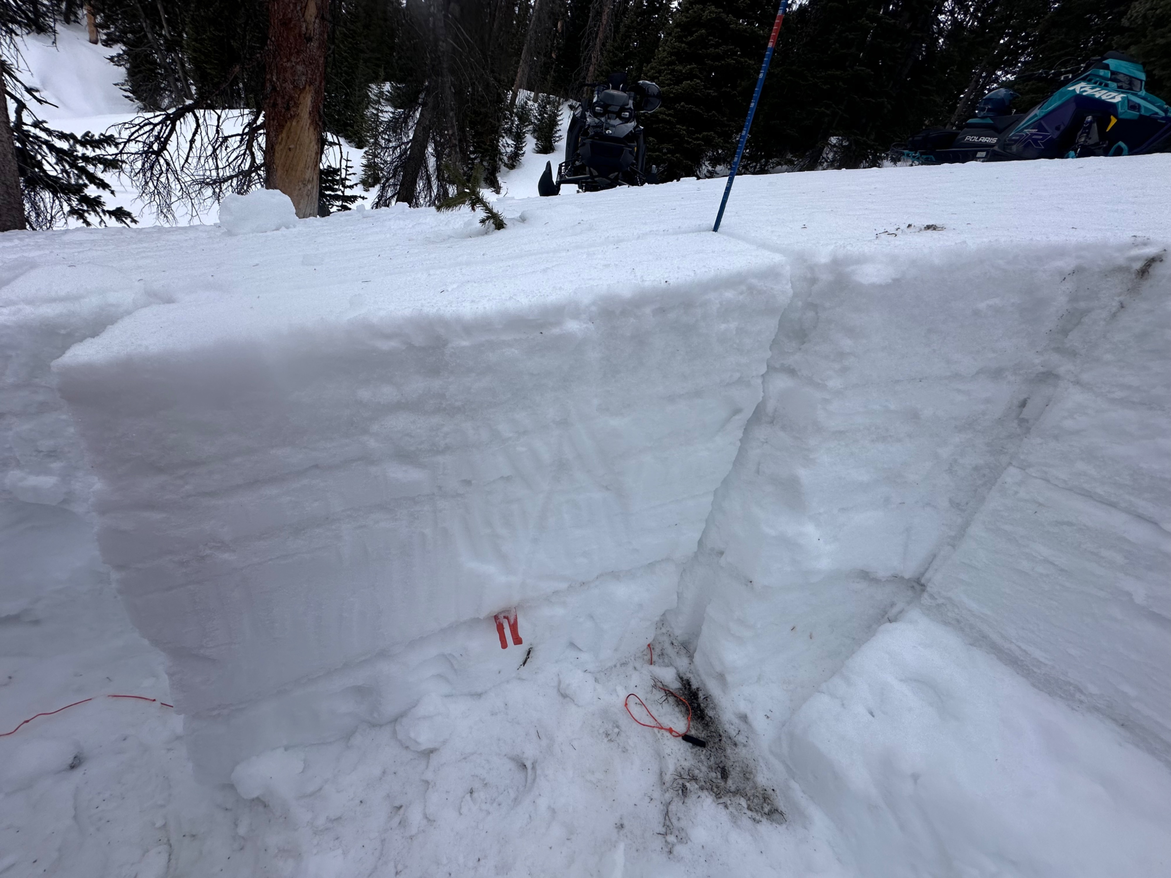
Snow pit today was west of Silver Lake in the snowy range at 10,404 feet. We were on a south aspect with a pit depth of 117 cm on a 22 degree slope. We performed a couple tests to see if we could eliminate the persistent week layer from our earlier February 10 layer and did get some reactions. Our extended column test results were ECTP22 and our propagation saw test results were PST 60/100 END @79cm.