
Quick report
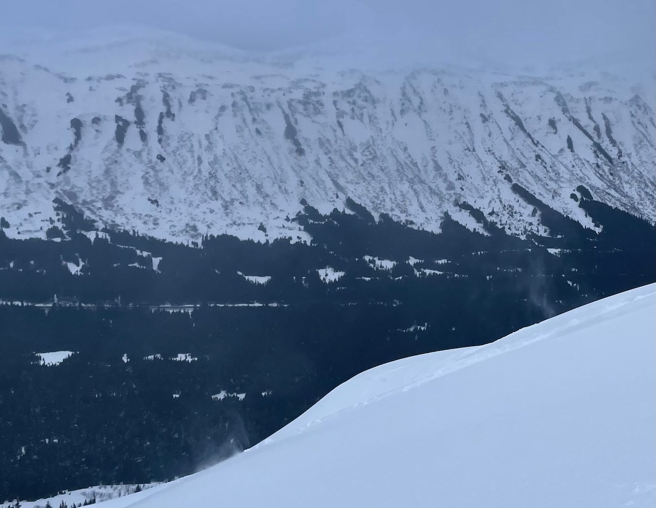
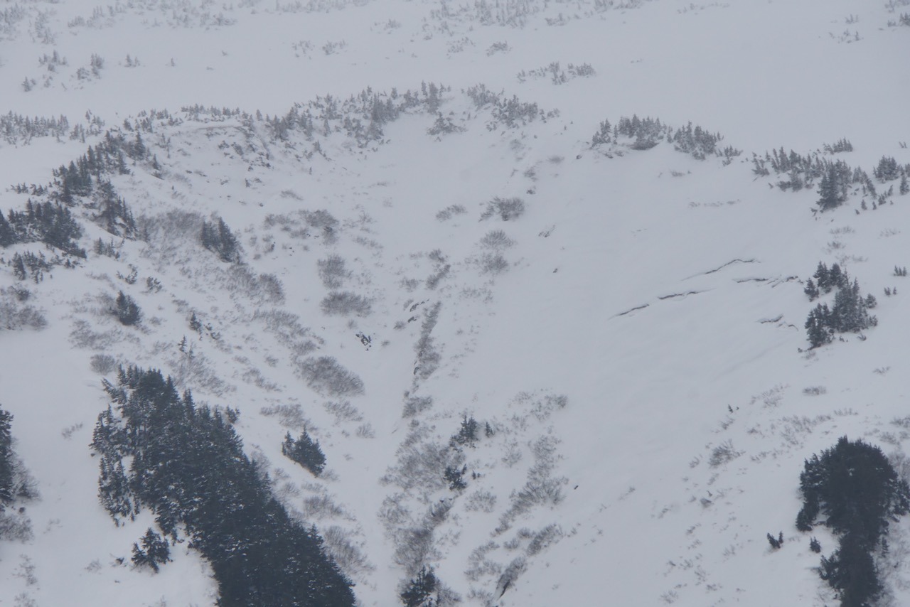
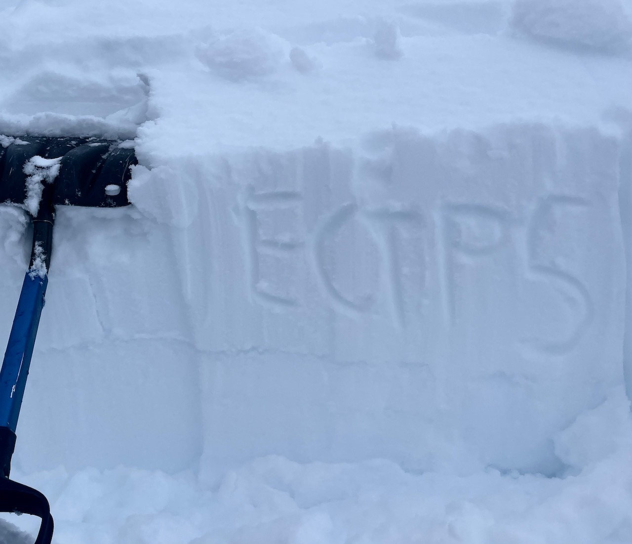
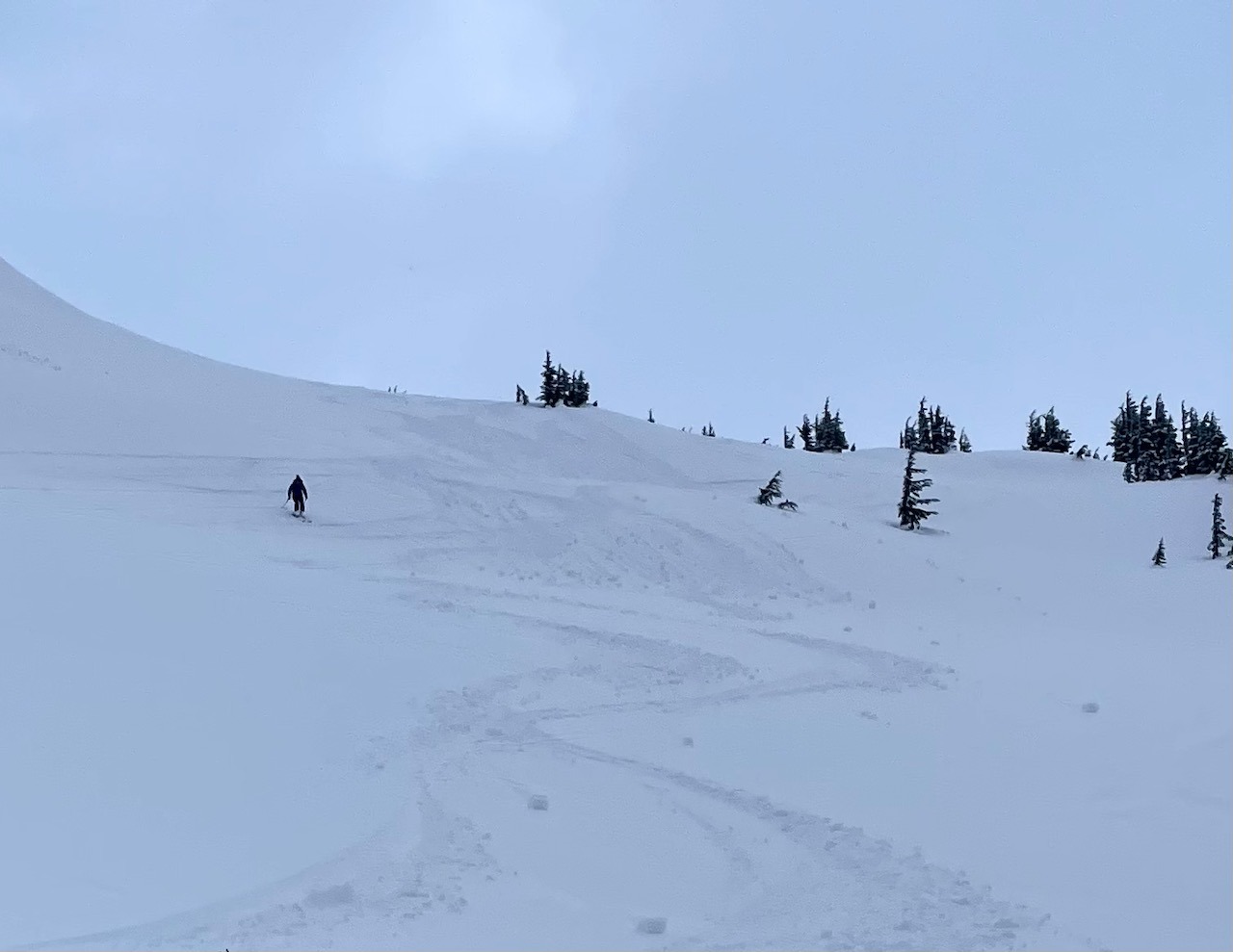
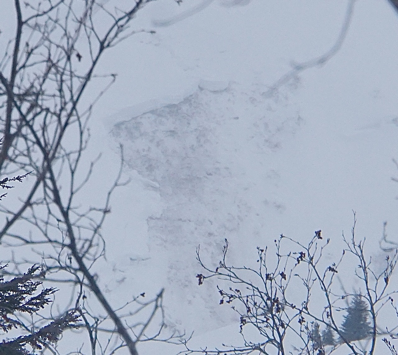
Snow Surface: Overall, new snow covered the old snow surface along the entire route. Temperatures warmed as the day went on. By mid-afternoon, storm totals since 2/14 were: 400' - 1000' - 1-2cm of very wet snow over a firm surface/very large buried surface hoar in clearings. 1000' - 1600' - .5" of wet snow over 2-3" of moist new snow. This sat over 20mm buried surface hoar. 1600' - 2200' - 3-4" of moist snow, sitting over a variety of surfaces... frequently including 10mm buried surface hoar. Rollerballs were PLENTIFUL and easy to kick off below 2000' as the surface warmed throughout the day. Snowpack: Above 2000', recent winds had deposited some soft slabs (up to 12" thick) on southwest facing features along the corniced ridge line to the right of the skin track. 4 hasty ECTs produced these results: ECTP 5, ECTP 6, ECTN 7 in locations where 10mm buried surface hoar could be seen intact 20-30cm deep, and one ECTX where a soft 30cm wind deposit was sitting on small facets (no identified buried surface hoar at this final test location). The slabs in these ECTs were still very soft, almost undistinguishable to new snow in areas that were wind affected. One massively deep glide avalanche release in the past week or two - on a low elevation southwest aspect of Wolverine. See photo below! Visibility was limited, but moments of moderate snow transport at treeline, and observed off the top of Eddies during a moment of good light.
Weather
- Air Temp
- 34
- Cloud Cover
- obscured
- Wind Loading
- moderate
- Rain Elevation
- 1000
- Recent Snowfall
- 10
- Snow Avail For Transport
- moderate amounts
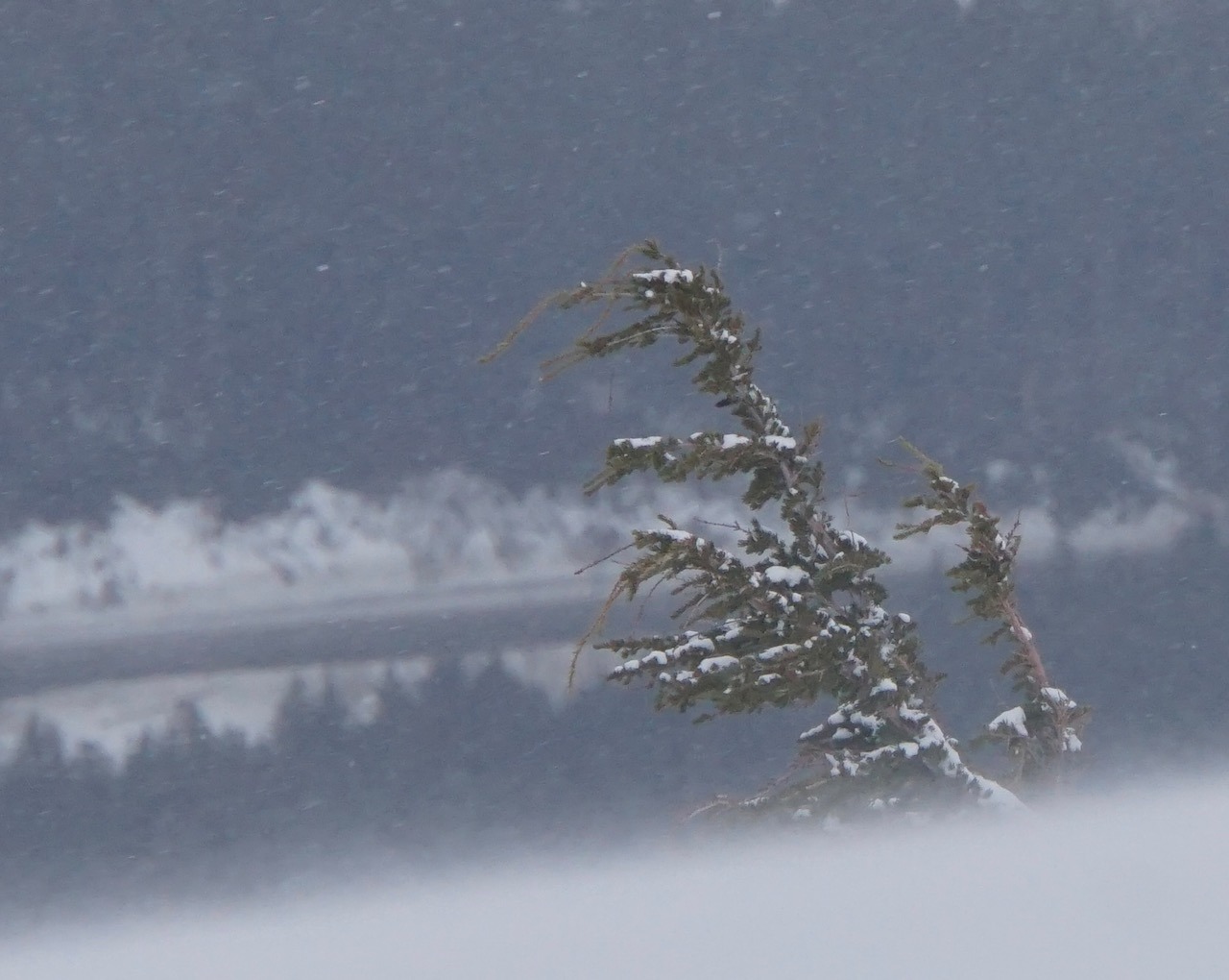
Overcast or obscured skies. WARM; 38f at the parking lot, and right around freezing at 2000'. Light NE winds gusting moderate and transporting snow above 2000' in the afternoon.