
Evans Basin (Mount Emmons) - near the boundary of SE and NW forecast zones
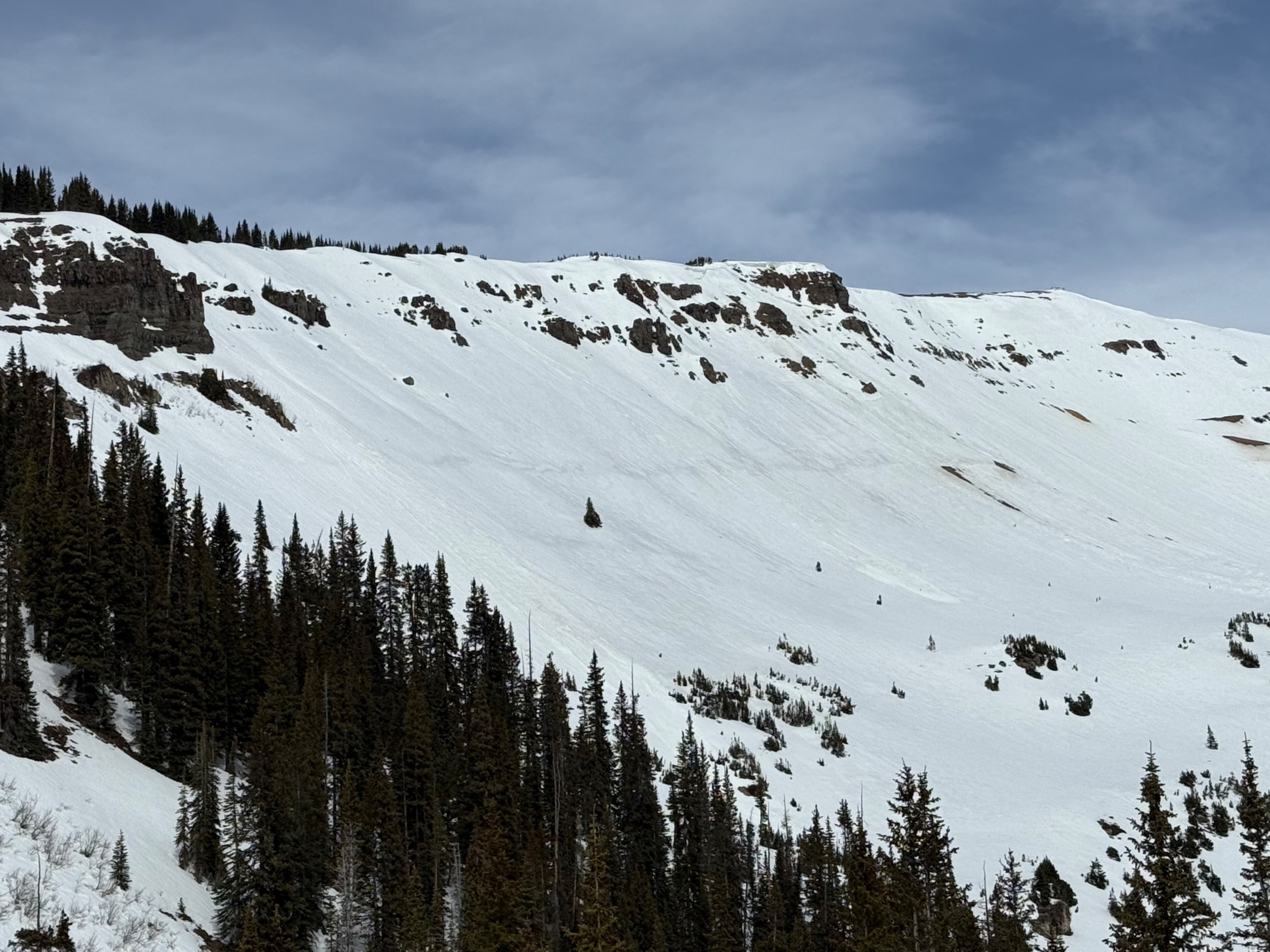
Quick report
We initially attempted to travel out Cement Creek, but the road had melted out from Cement Creek Ranch to Double Top Ranch. Too much dirt-mobiling to warrant a trip.
After bailing on Cement Creek, we went for a quick sled tour around Evans Basin, looking at structures on easterly aspects around 11,000 feet. Next week, as temperatures increase and the snowpack fails to freeze at night, wet slab and gouging loose avalanches could occur on easterly aspects at the upper portion of below treeline terrain and near treeline terrain. Even northeast aspects may develop a wet slab problem.
Weather
- Cloud Cover
- broken
- Wind Loading
- none
- Recent Snowfall
- 0
- Snow Avail For Transport
- none
Mostly cloudy skies with periodic sunshine. Warm temperatures.
Snowpack
We dug two profile on easterly aspects just above 11,000 feet.. One sunnier and one shadier. The sunny profile appeared to show meltwater draining through the snowpack, with ice lenses and columns present to the ground. Stronger over weaker structures persist, but wet slab activity seems less likely than at shady locations. The locations near the east and northeast boundary looked much more worrisome for future wet slab activity. The February drought layer wasn't flooded by meltwater and remained much coarser and weaker than the snow above and below. Basal facets could also create a wet slab problem as water moves deeply into the snowpack next week.