
Quick report
Avalanche concerns remaind confined to upper elevation, wind-drifted areas. Recent snowfall has bonded relatively well to the old, refrozen snowpack but weaker snow layers are developing in upper snowpack layers. These interfaces will need to be evaluated with additional load. While most slides you could trigger would remain generally small, the shallow snow cover could make for a rough, bumpy ride.
Weather
- Cloud Cover
- few
- Wind Loading
- none
- Snow Avail For Transport
- moderate amounts
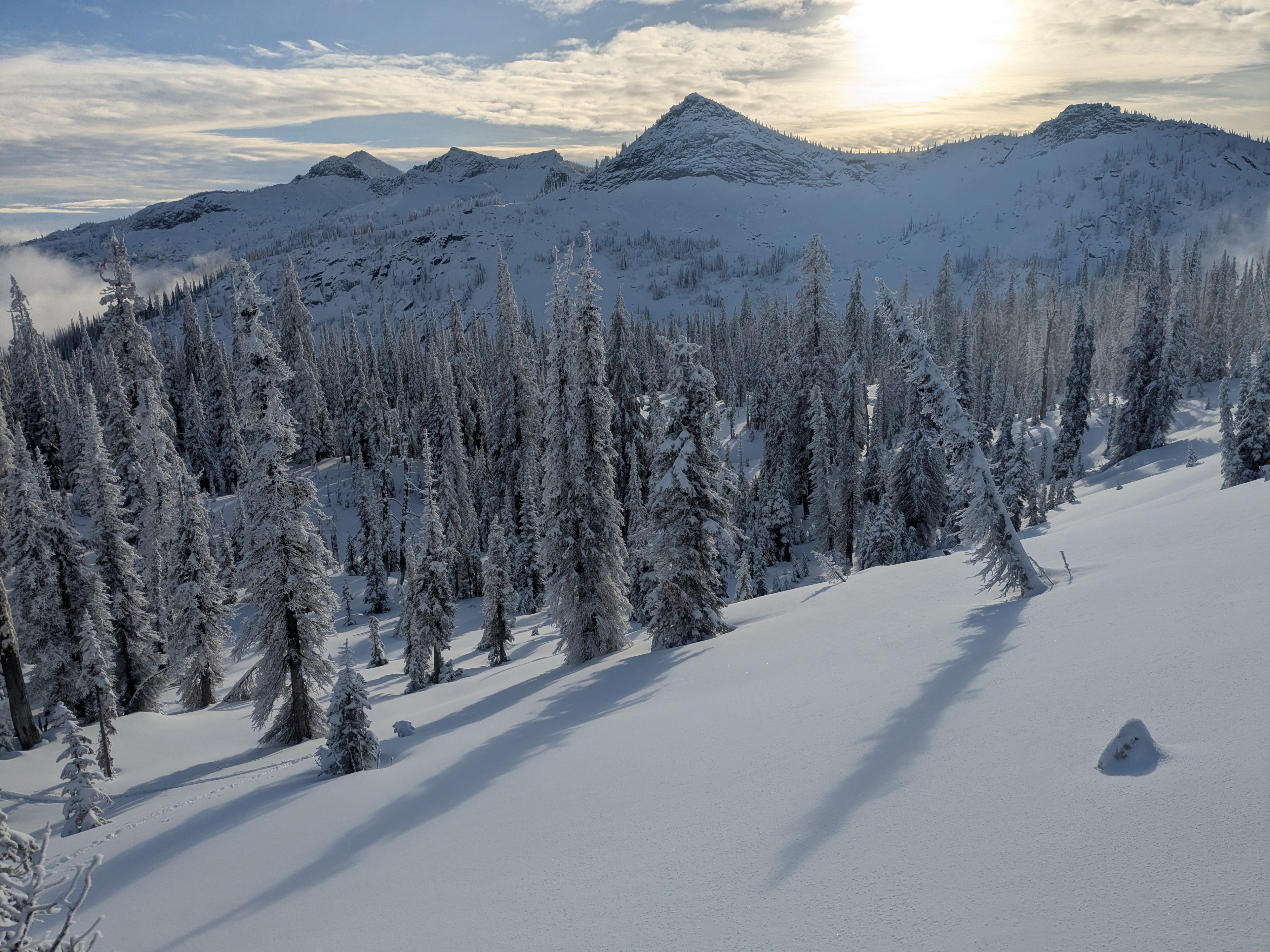
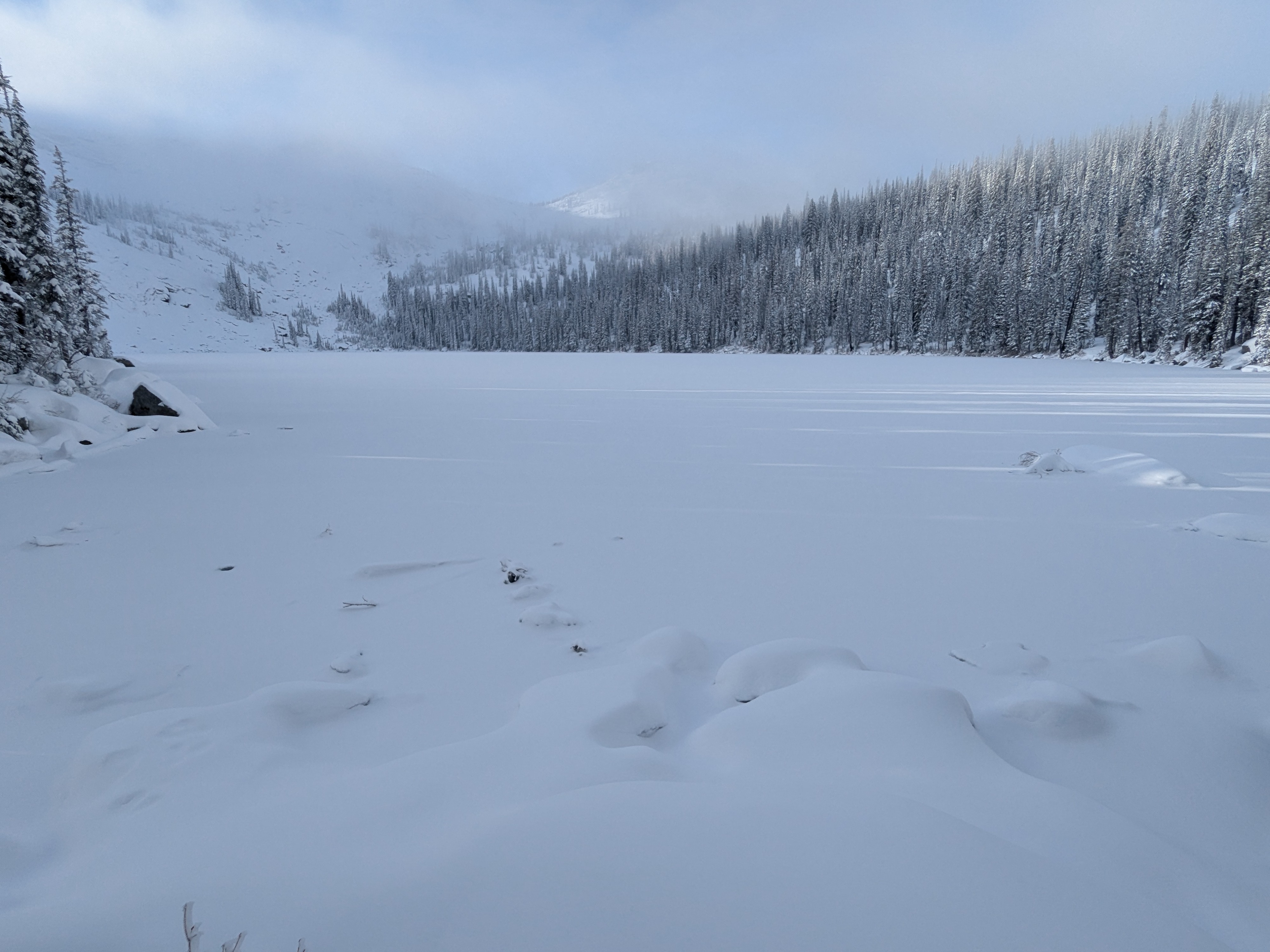
Mix of sun and clouds in the valley. Mostly sunny skies for several hours at mid and upper elevations. Clouds and fog moved in mid-afternoon. Winds were generally light and no snow transport observed.
Snowpack
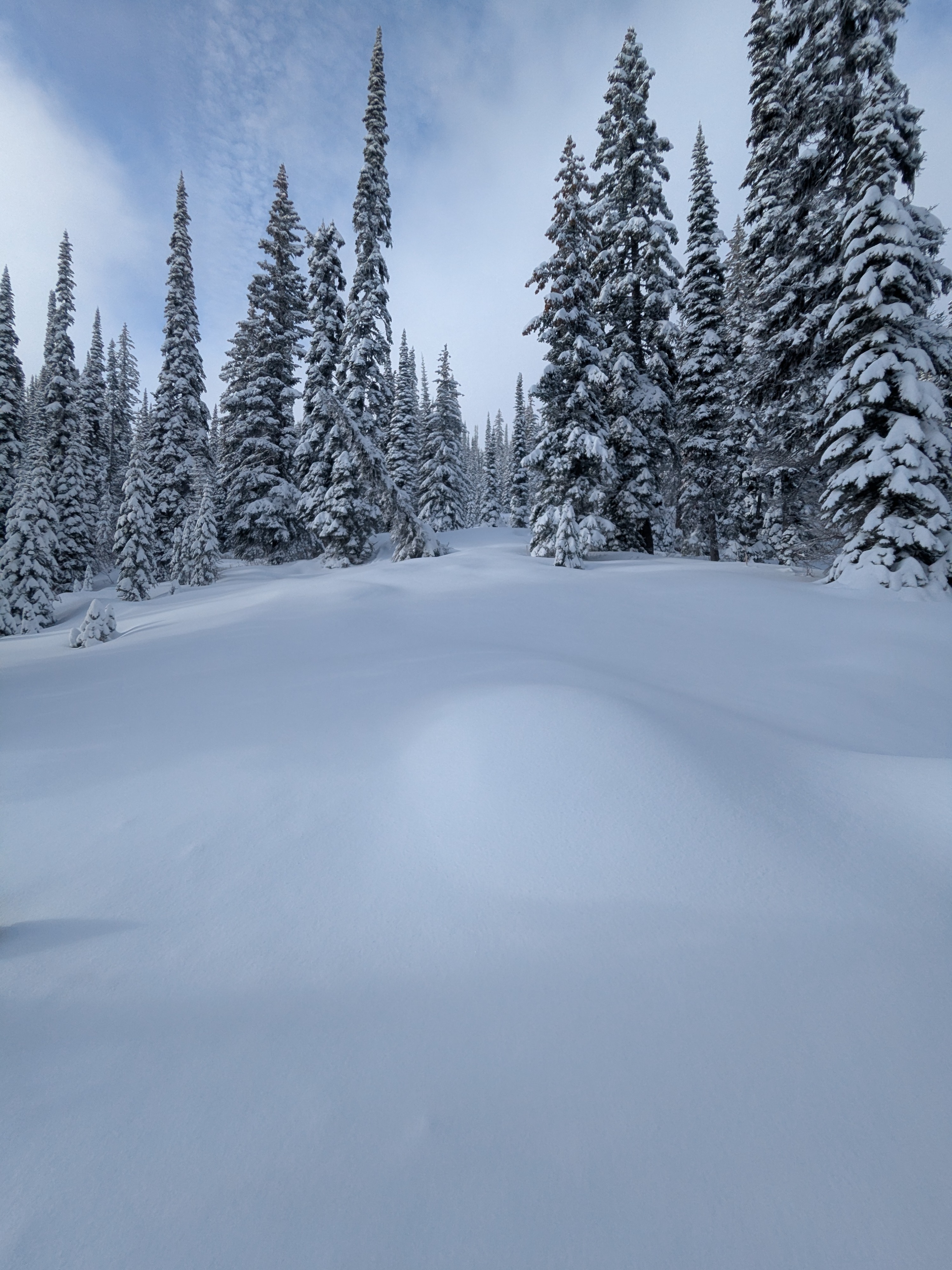
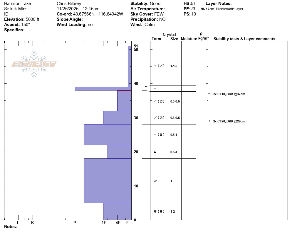
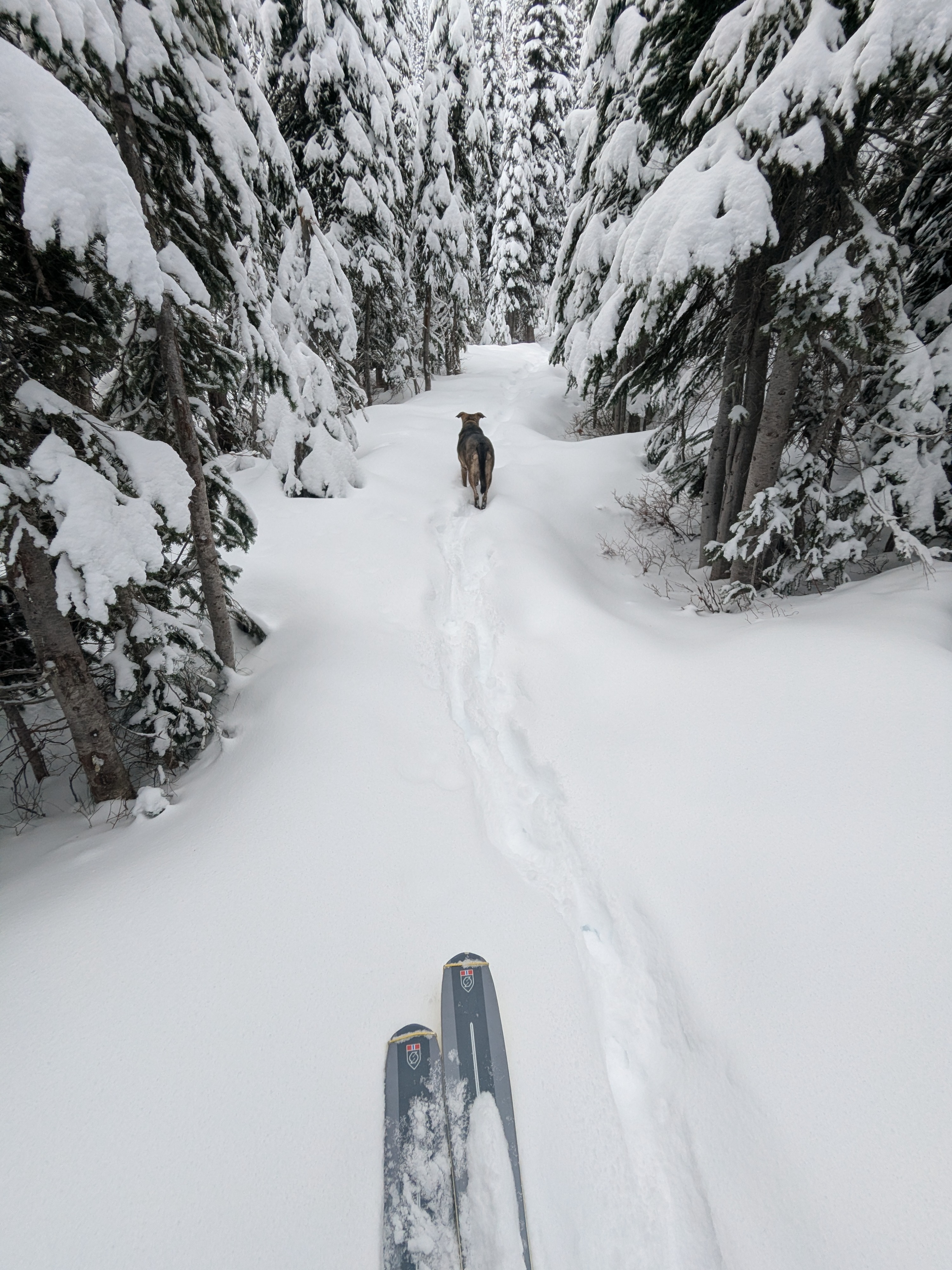
Similar recent snowfall totals here as adjacent areas - 4 to 6 inches below 5,500 feet, increasing to 8 to 10 inches above that, and over a foot once you climb above 6,500 feet and on leeward-facing slopes. Facet development observed in multiple pits at the New/ Old interface and around a mid-storm rain/ rime crust. Currently, the slab above these weaker layers is not thick or stiff enough to pose broader concerns. However, this set up is expected to be more reactive with additional load. As we approached 6,500 feet and higher, the mid-storm crust from 11/24 got less noticable and more breakable. Additionally, at upper elevations faceting above the New/ Old interface was more advanced than a few hundred feet lower in elevation. Slopes and areas sub 5,500 feet pose no avalanche danger where we traveled.
Avalanche
None observed