
Quick report
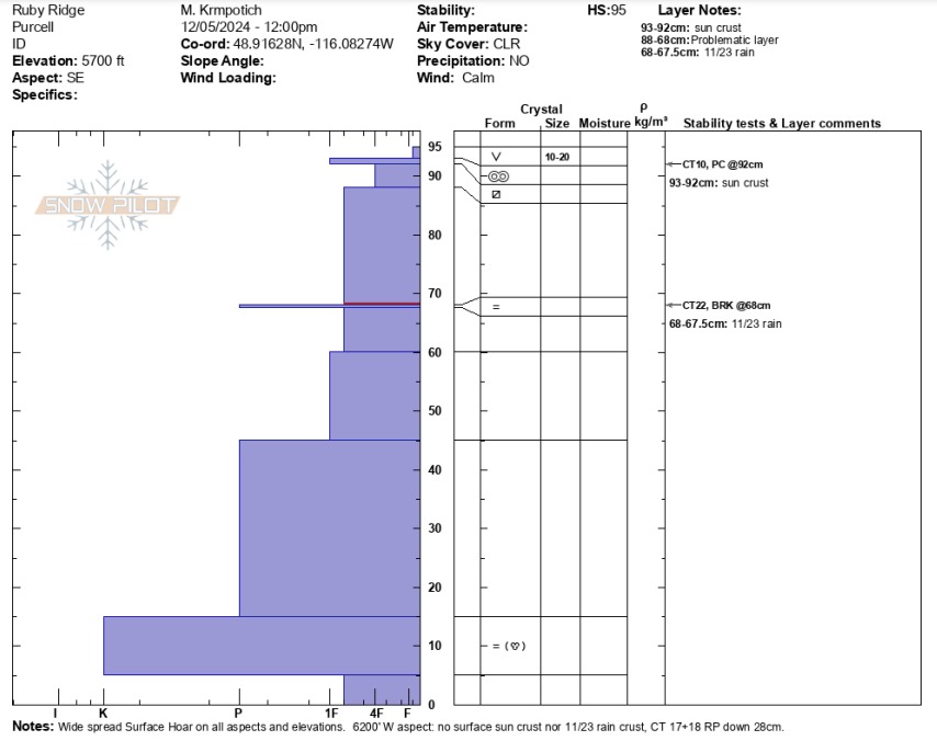
Average height of snow in the Purcell Mountains is about 1 to 2 feet less than the neighboring West Cabinet and Selkirk Mountains. There is also less top to bottom evidence of prior rain events and thick rain crusts. We found evidence of the 11/23 rain crust at middle elevations (~0.5cm thick around 5700’) and this same layer was non-existent in our pit around 6200’. While snowpack tests did not highlight concerning conditions today, enough surface weakening does exists across all aspects and elevations that conditions will change quickly with additional new snow load, or rain.
Weather
- Cloud Cover
- clear
- Wind Loading
- none
- Recent Snowfall
- none
- Snow Avail For Transport
- moderate amounts
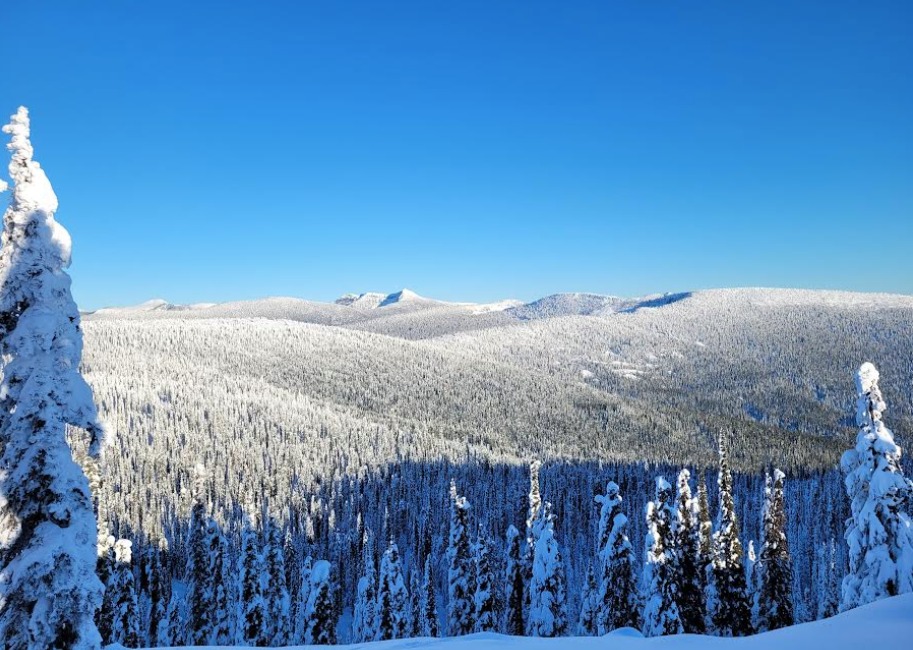
Clear, sunny skies above valley inversion. Sun warm enough for surface melt on direct south faces. Light west winds along ridgetops and no visible or recent snow transport.
Snowpack
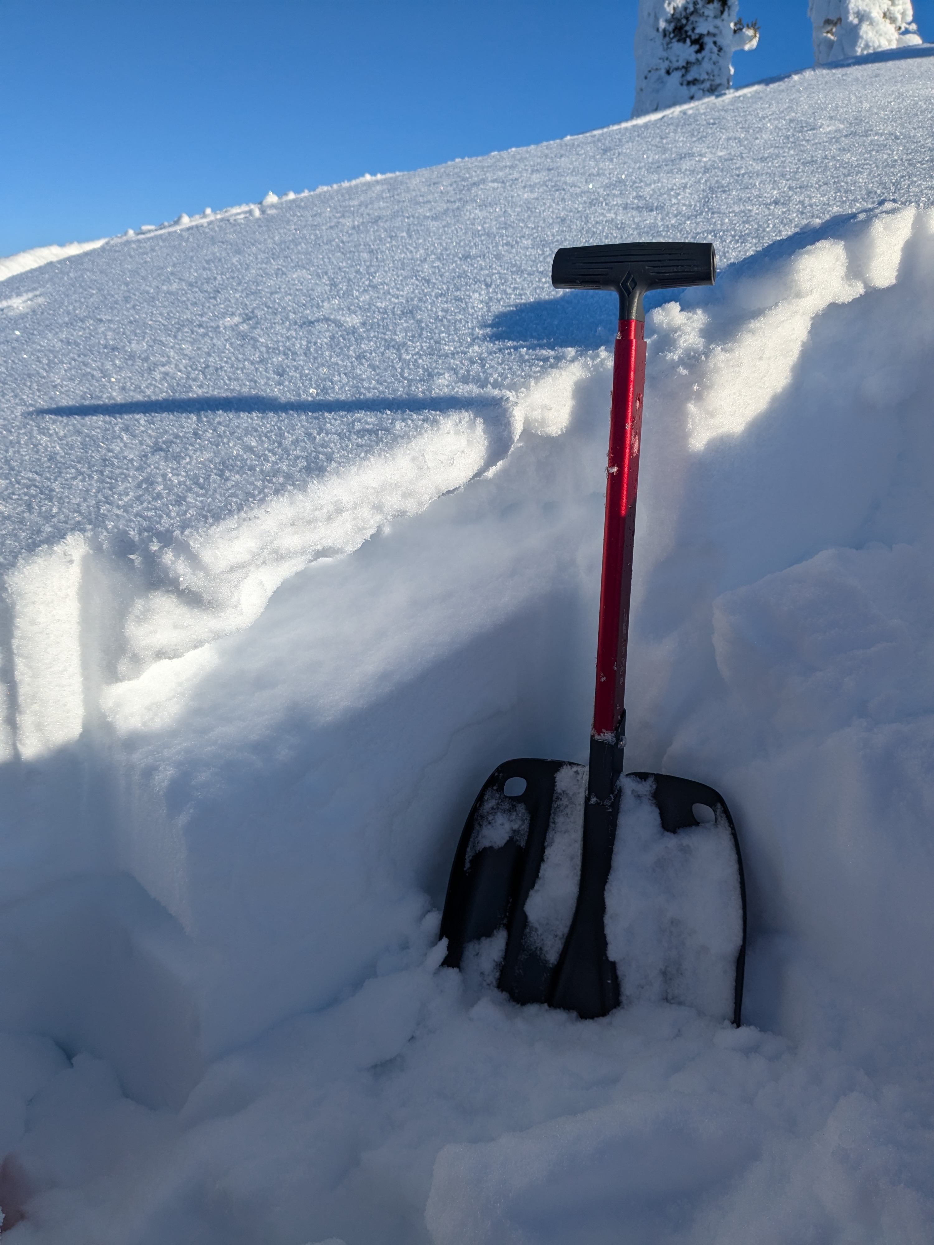
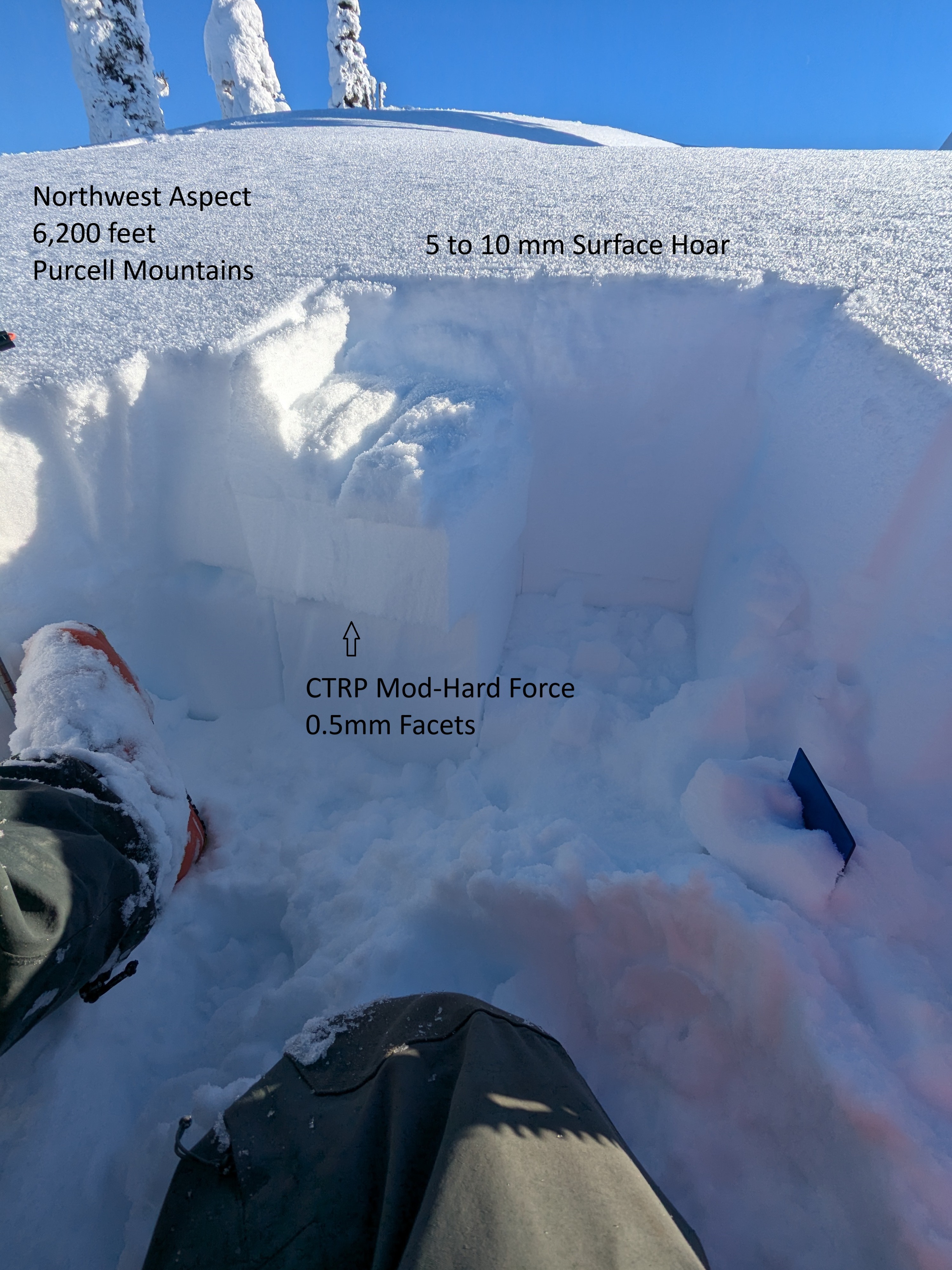
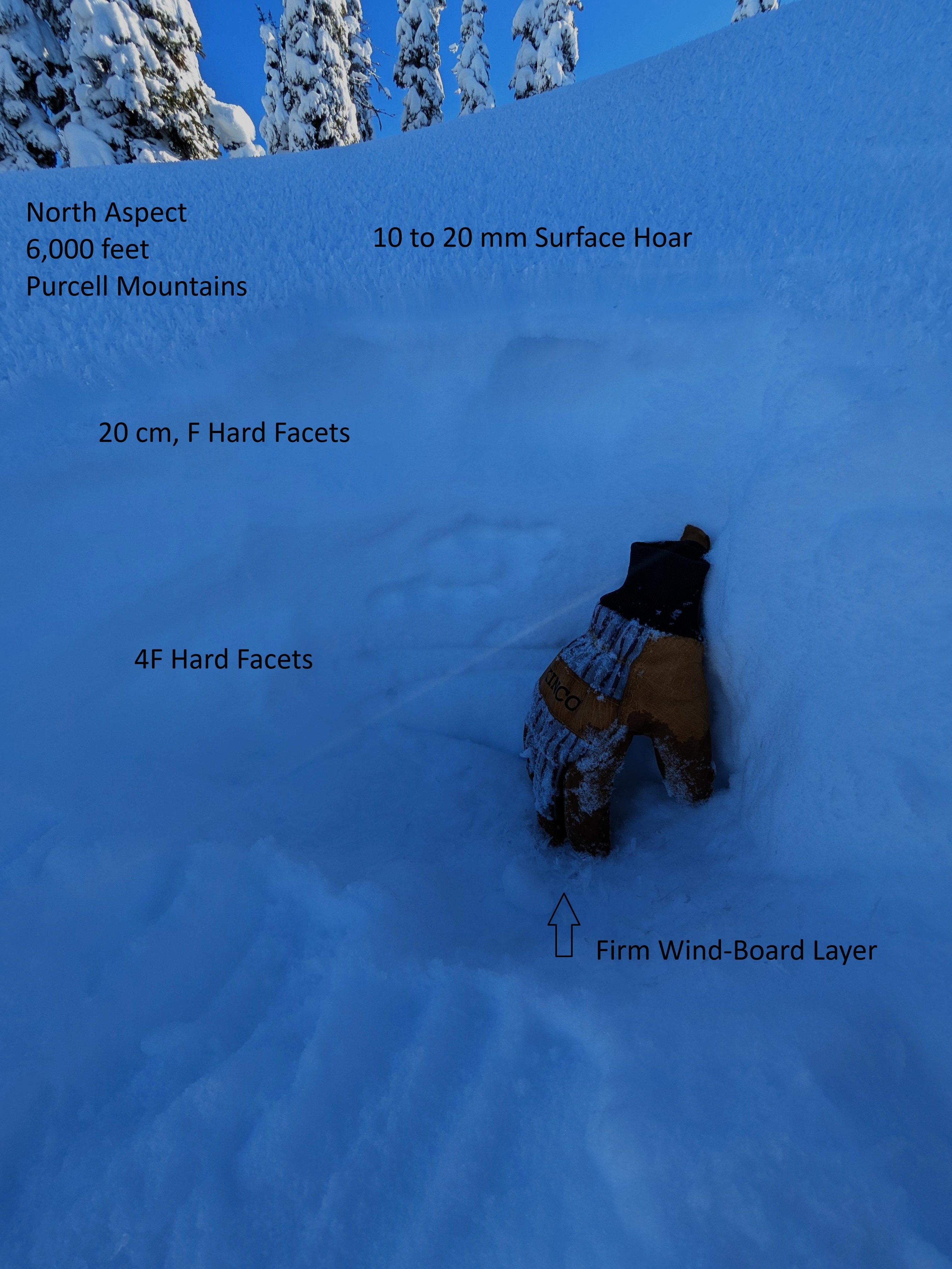
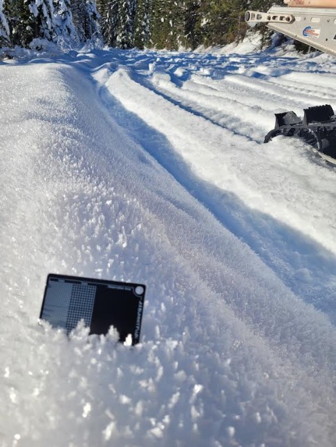
We found a thin sun crust on southerly-facing aspects. 10 to 20 mm Surface Hoar is also growing on the surface across most aspects and elevations. It was most pronounced between 4700’ - 6000’ where we traveled today. Our first pit was dug on a southeast-facing slope around 5700’ and total height of snowpack was around 95 to 100 cm (~3ft). We observed non-reactive test results in the primary weak layer combination: CT10 PC at 92 cm is F to 4F faceted grains, and CT22 BRK at 82 cm (down 27cm) on top of a thin 0.5cm thick rain crust with facets above and below. Our second pit was dug on a northwest-facing slope around 6200’. Total height of snowpack was around 100 cm plus (~3ft). We observed stubborn test results in the top 1 ft - CT 17 and 18 RP down 28 cm. At this elevation, we did find evidence of the 11/23 rain crust, but near-surface facets existed in the top 30 to 40 cm from the surface. These grains were small and not yet well developed, but were more noticeable at this elevation and had a distinct hardness difference in layers both above and below. The layer below the facets was 1F hardness.