
Quick report
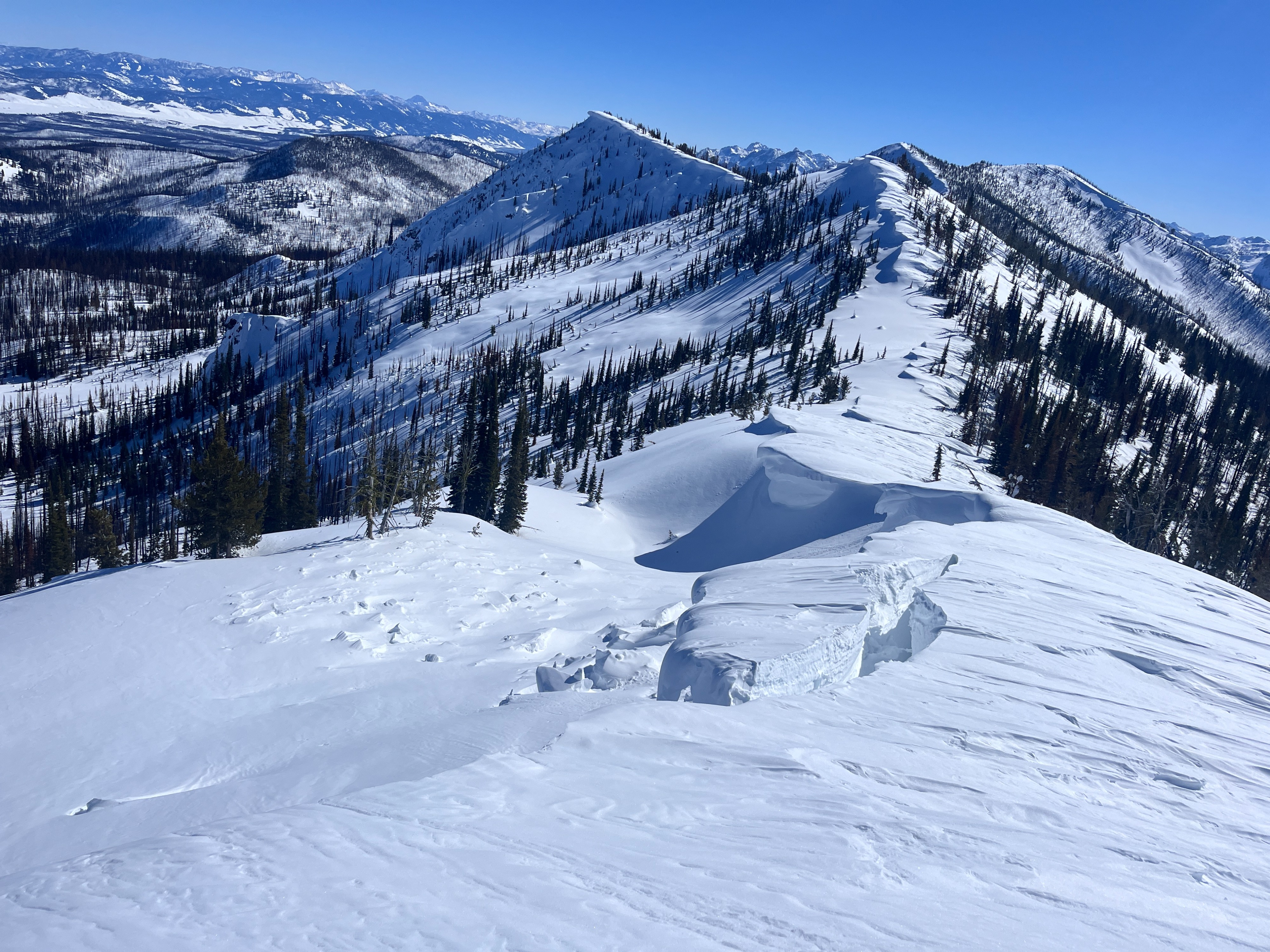
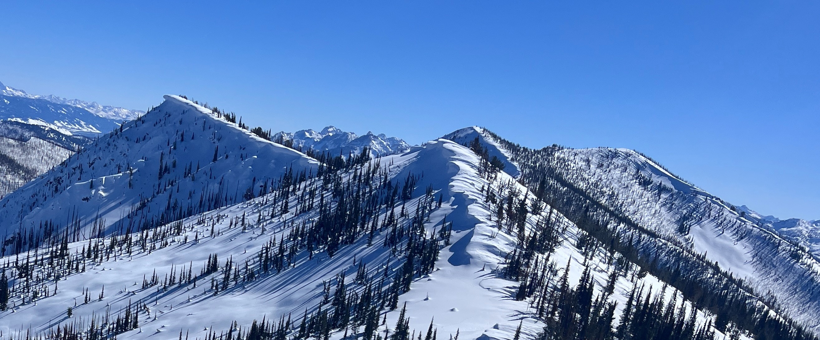
Overall conditions felt generally stable around Copper Mtn; the snowpack was uniformly deep in the shadier terrain we traveled in today. The upper snowpack became wet by early afternoon, except for wind-swept slopes where wetting was isolated to the surface. While no very recent wet loose slides or signs of instability were found, it felt like it would be easy to trigger a small slide in very steep solar terrain. Along the ridge of Copper, cornices were quite large, and several chucks of cornice have fallen during this warmup.
Weather
- Cloud Cover
- clear
- Wind Loading
- none
- Recent Snowfall
- 0
- Snow Avail For Transport
- none
Clear skies and calm winds. You didn't have to get far off the valley floor before you could feel the inversion.
Snowpack
Depth: Probing around Copper HS ranged from 200 to 275cm in many places. On the wind-swept SW face of Copper, HS was ~110 cm.
Surfaces and wet snow: Surface crusts broke down early in the afternoon on solars. Wind-stiffened snow surfaces did not wet nearly to the extent sheltered solar slopes did. The upper 20-15 cm of the snowpack was wet, and the snow below was moist (see photo). Overall, the snowpack seems to be taking this warm-up well, but it will take a deep freeze or an extended period of cold to halt any water percolation and really "lock up" the upper snowpack. Shaded slopes above 8000' were cold and dry; lower than 8000' was not observed.
Avalanche
- Size
- D2 R1
- Type
- WL
- Aspect
- S
- Trigger
- N
- Elevation
- 10000 ft
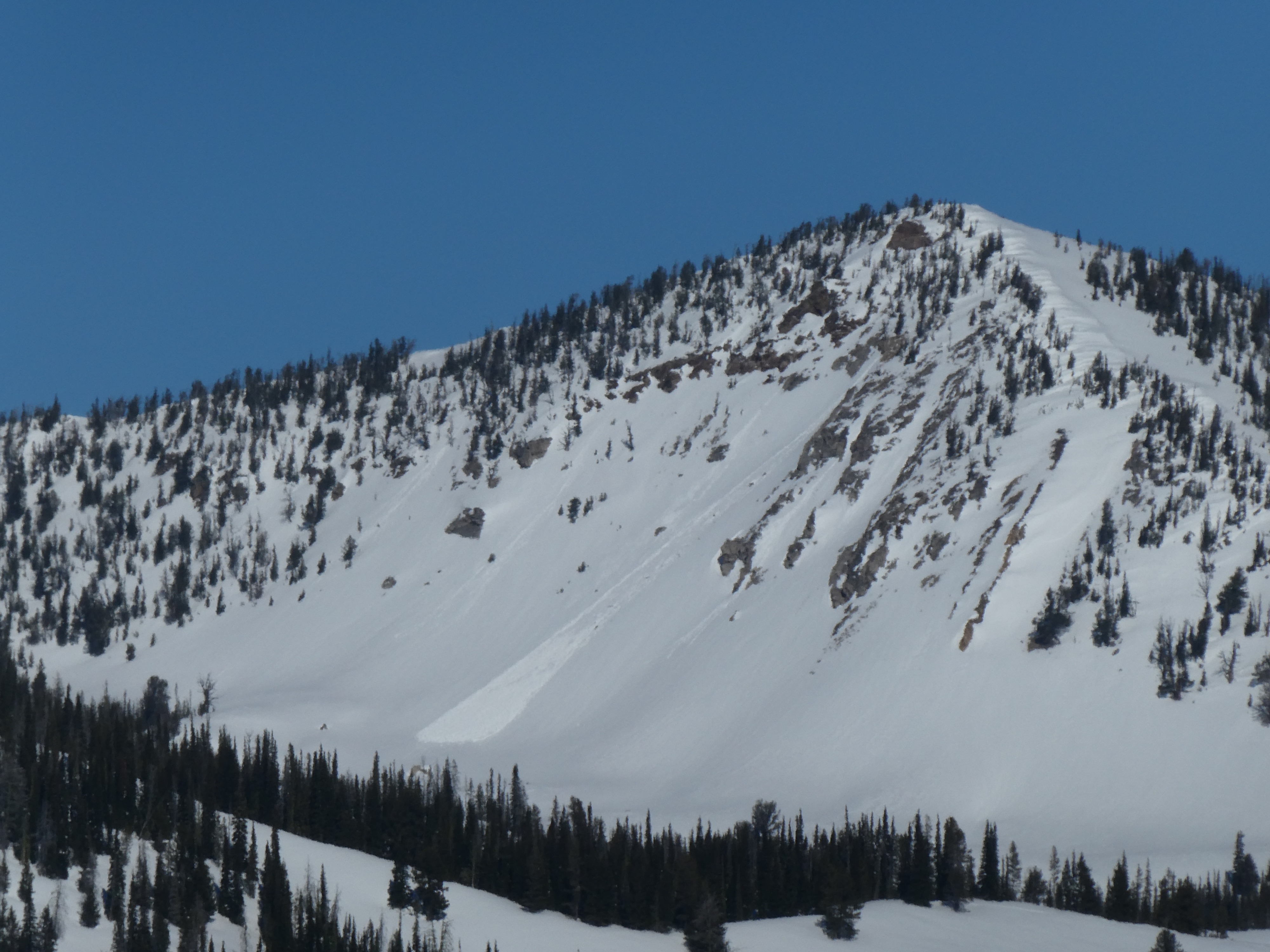
These two wet loose avalanches likely occurred yesterday.