
Quick report
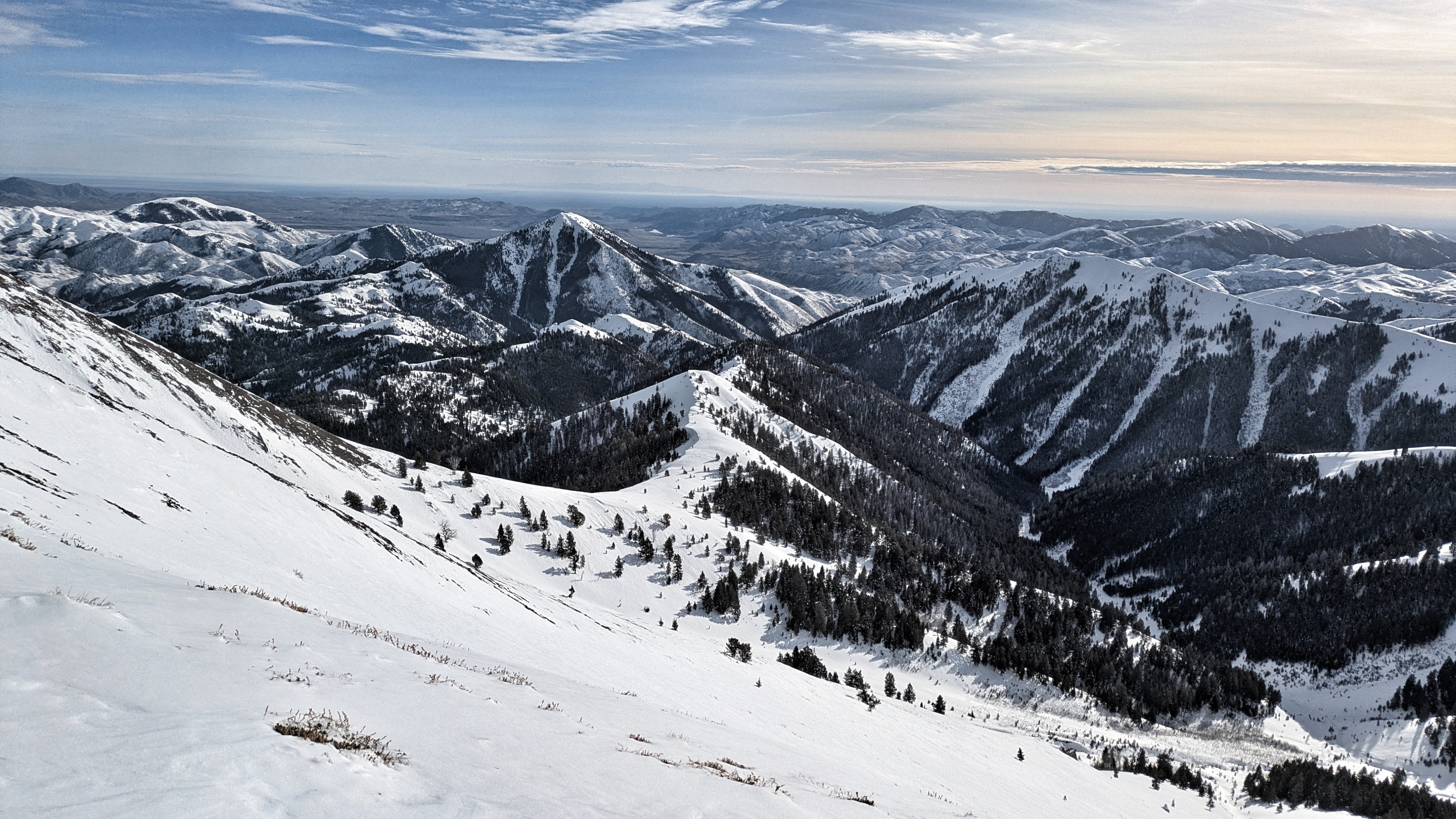
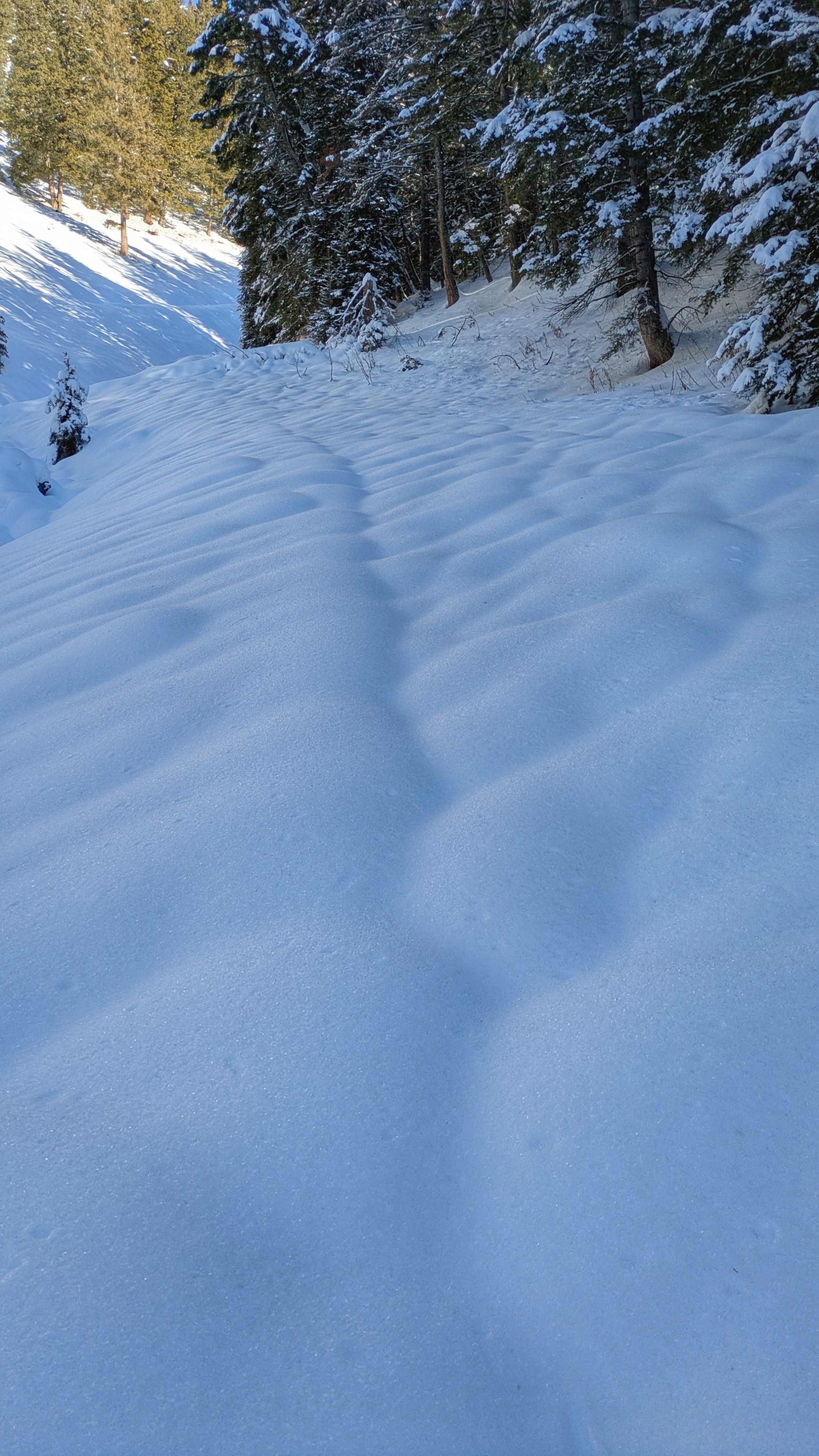
This was a beautiful walk to close out the year. My goals were to look at snow conditions and coverage in an area with minimal available information, to inventory surfaces in advance of a forecasted return of precipitation, and to make a few wiggles here and there. I started my tour in the Soldier and Wood River Valley forecast zone. I found easily travelable snow coverage down to my low point of 6,500' on slopes on the northern half of the compass and all flat terrain, with very weak surfaces forming above the Xmas crusts. There is plenty of coverage and plenty of weak snow here to have a serious avalanche problem with future loading. Sunny slopes had not baked off completely, but there wasn't a ton of snow in between the sagebrush. The snow that is there is strong and crusty and will be slow to melt. The only avalanche problem I encountered in this lower and middle elevation terrain today were small facet-lanches running quickly on the crust. These could have been more dangerous on larger slopes, but I only encountered this set up in small terrain. Most importantly, this would be a terrible base for future snowfall if buried in its current state!! A widespread layer of surface hoar is on the surface. Above and just below the upper elevation boundary, I observed evidence of very large avalanches during the major loading around Christmas Eve/Christmas. Slides broke widely on weak, faceted snow that developed during late November. A very dense slab of snow from warm December storms sits above this weak snow. More detailed snowpack info can be found in the snowpack summary and avalanche problems sections below. I traveled through many miles of untouched snow and did not experience a single collapse, nor any significant cracking. I easily triggered small facet-lanches in middle elevation terrain where very weak snow had developed on top of the Christmas crust.
Weather
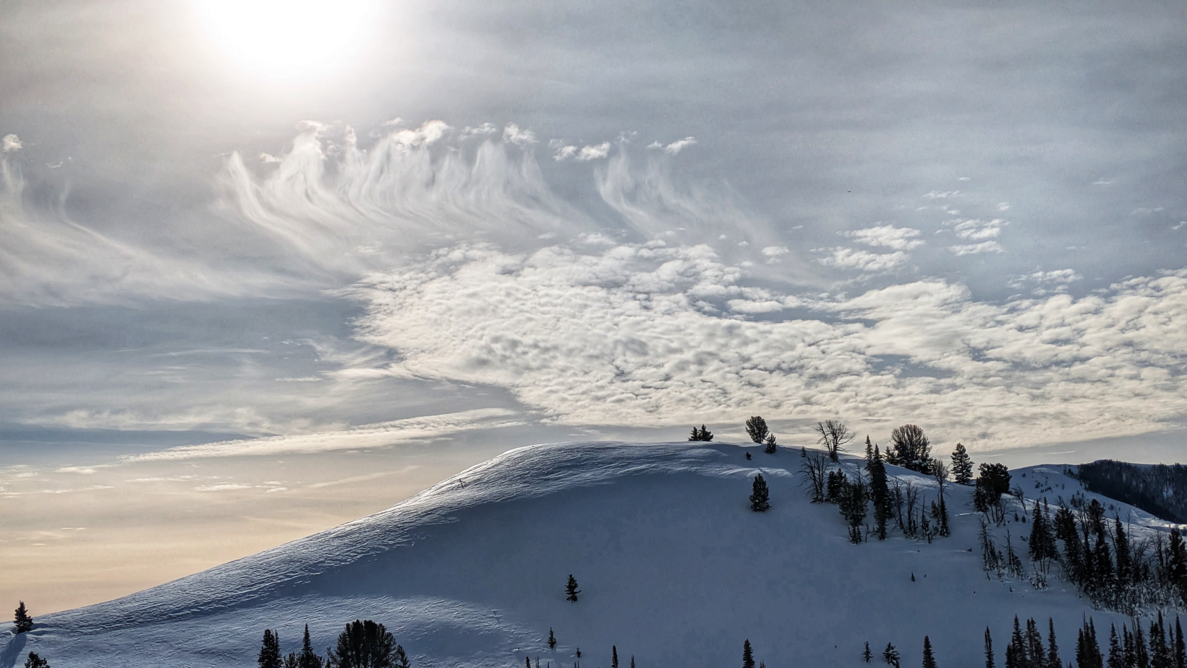
Gradually increasing cloud cover and wind speeds through the day. A beautiful cloud show to close out the year. Warm in the sun, never felt warm in the shade.
Snowpack
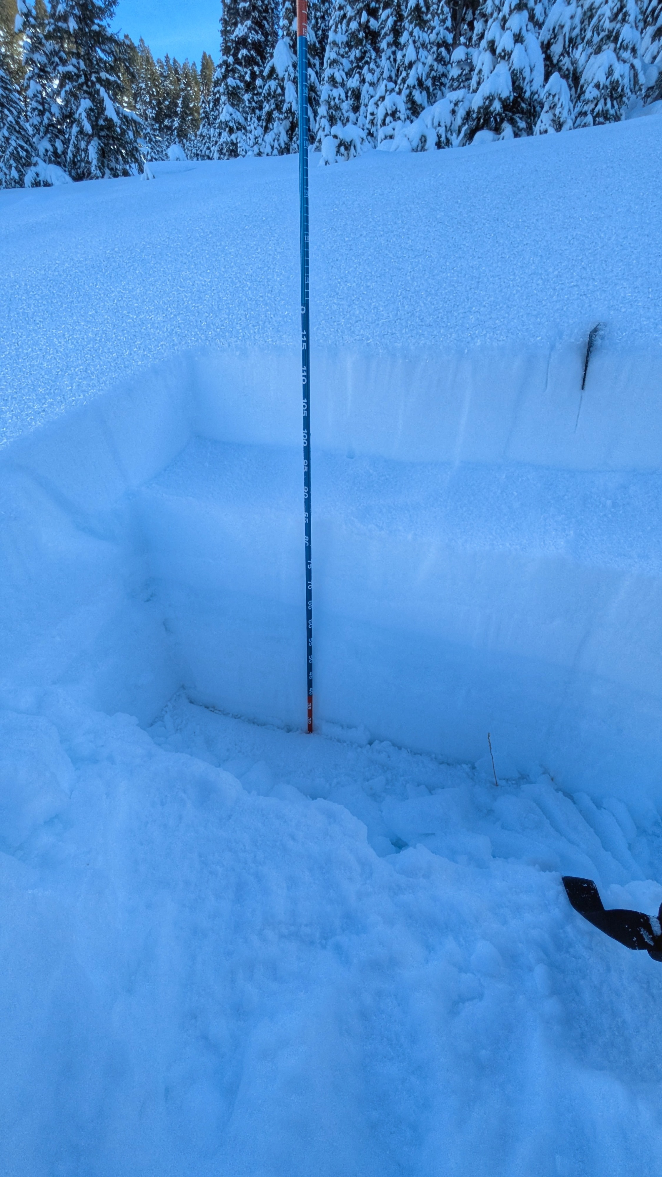
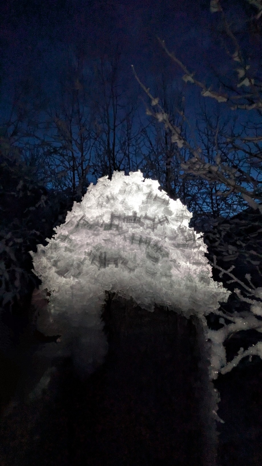
From my lowest observed elevation (6,500'), I found a thick, ground-capping mass of once-wet, now refrozen and very strong snow (this crust is the Xmas eve + Xmas rain crust). I could drive on top of this with my truck. Sitting on top of this crust I found 3-4" of very faceted snow, with a thick coat of surface hoar on top. Travel was easy here, and the wet snow that fell before Christmas was blanketing the ground, rocks, and sagebrush. I never broke through this crust on my skis and did not hit anything that was under the crust. It would have been very easy to ride a sled on flat terrain at this elevation and on any relatively smooth slopes that didn't face the sun. Looking out across the Soldier and Wood River Valley forecast zone I observed similar conditions. Long story short: there definitely is a snowpack on shaded slopes at middle elevations in this zone. 6,500' is the bottom end of the middle elevation band, and the lowest I traveled outside of my vehicle, I'm not sure how much lower this pattern continues for. As I climbed, the Christmas Eve and Christmas crusts remained stout for a long time, it was clear that heavy rain had fallen during the Christmas storms. By 8,000' the amount of snow above this crust had increased to 6-9". The faceting was less pronounced above the level of the inversion. The crust was still very strong here, I could not push the handle of my pole through it. Digging through the crust at 8,300' required quite a bit of effort (pit photo below). Up to this elevation, any current and future snow stability issues would be taking place above the crust. I began to move into more exposed terrain at this point so I don't have the best read on how much further up in elevation this holds true for. Upper elevation and exposed middle elevation terrain saw tons of wind action during storms around Christmas. Upper elevation slopes also took a beating during the wind event late on 12/27. Viewed from afar, it looks at bit scrappy up high, but when you travel up there you find that there is actually a ton of snow in between the rocky, wind-cleaned slopes. Coverage feels notably above average for this time of year, excepting the lowest elevation terrain that has seen precip falling mostly as rain. A healthy coat of multi-phase surface hoar coated the current snow surface in all shaded and sheltered terrain that I traveled through. Near surface faceting is pronounced below the level of the inversion, and present but not as advanced above this level.
Avalanche
- Size
- D2
- Count
- 6
- Aspect
- S
- Trigger
- N
- Elevation
- 9400 ft
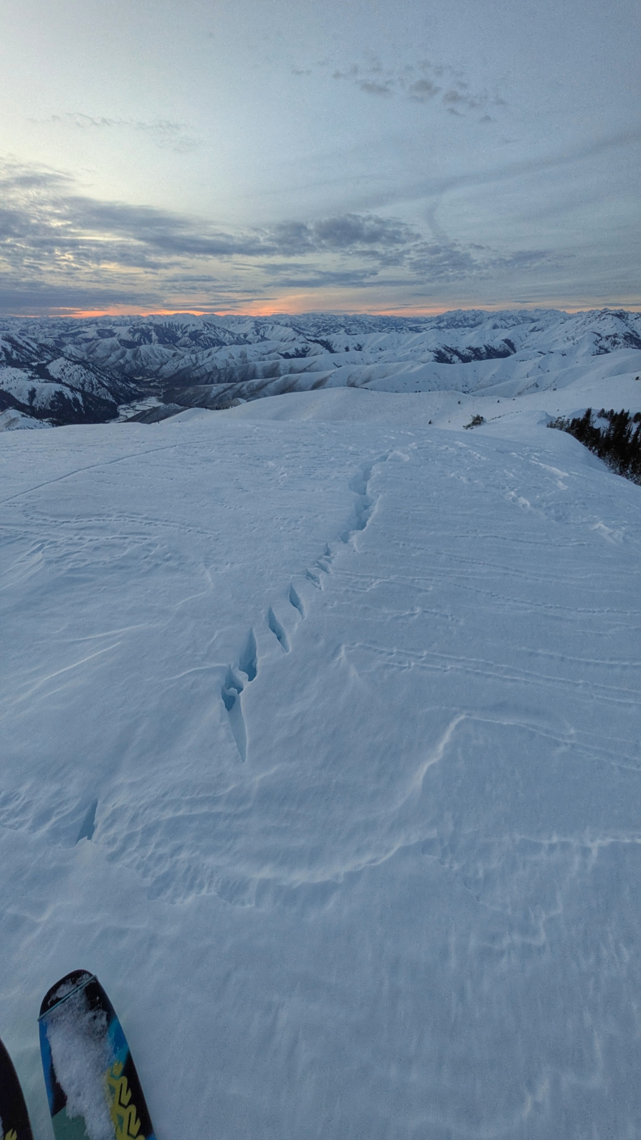
Reporting a few of the obvious slides that occurred in SAC forecast area. Eagle-eye JP spotted and reported the set of very large avalanches on the N/NW bowl of Grays. Through my lens I could also see at least 8-10 large to very large avalanches that appear to have failed on the November facets around Christmas Eve/Christmas just to the S and E of the forecast area boundary. I saw many lower angle slopes that had collapsed, fractured deeply, and shifted downslope without avalanching (photo below).